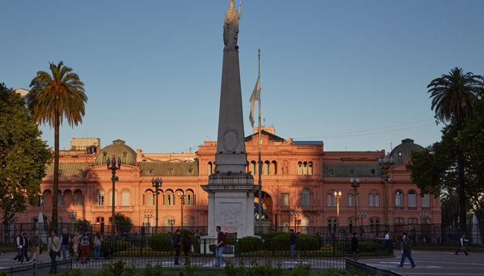
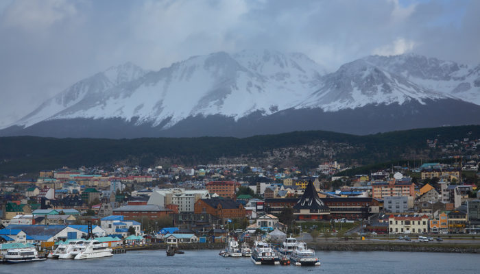
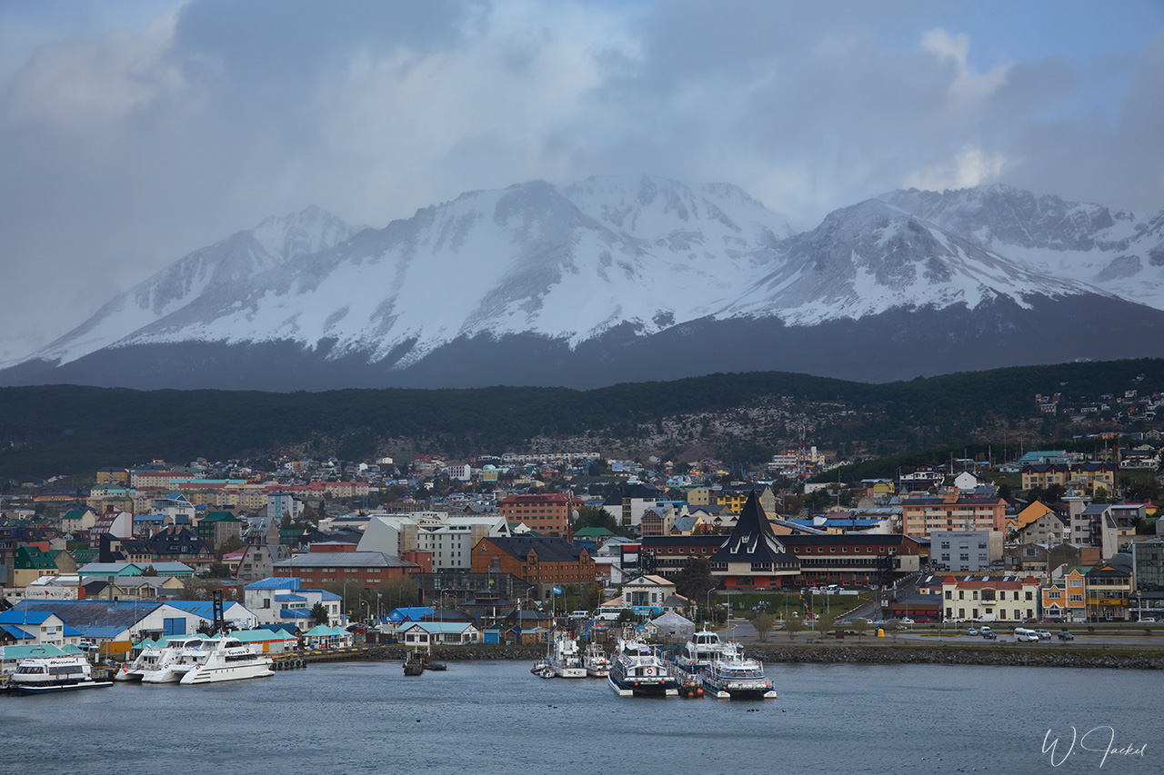
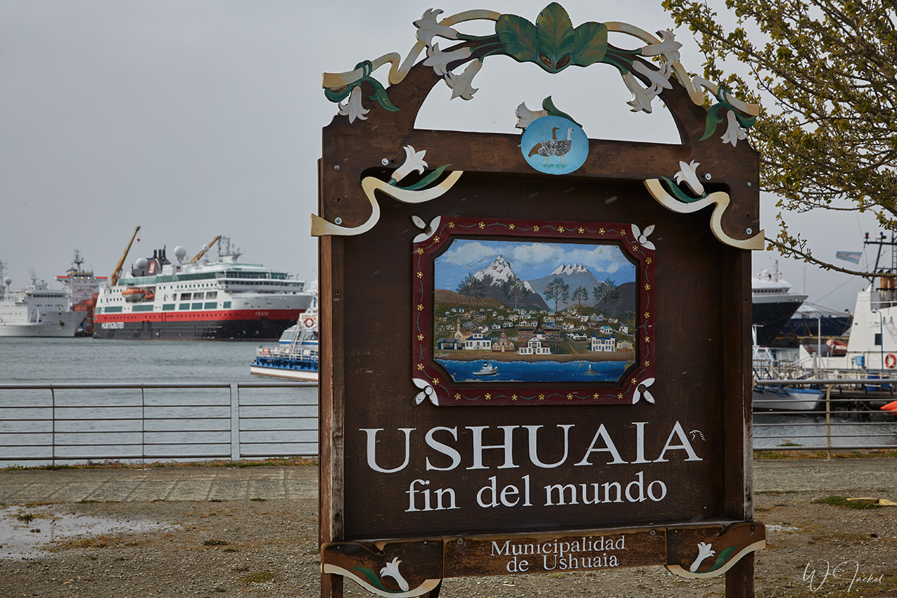
Usually the small town of Ushuaia on the southernmost tip of South America is the gateway to Antarctica cruises. It’s nicknamed the “End of the World” and located roughly 1100 km from the coast of Antarctica. However, we left from Buenos Aires because this was the first trip of the season to Antarctica for the ship and crew.
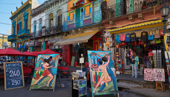
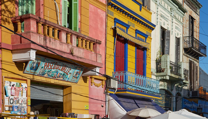
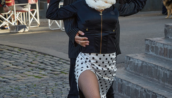
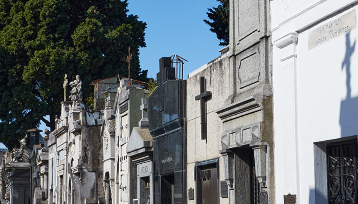
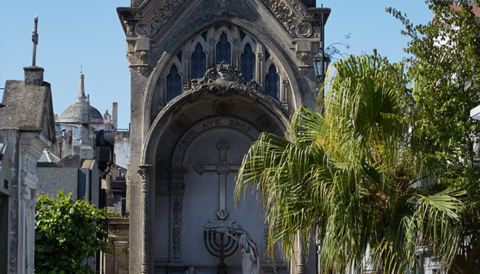
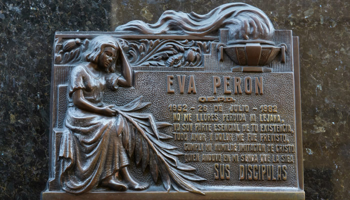
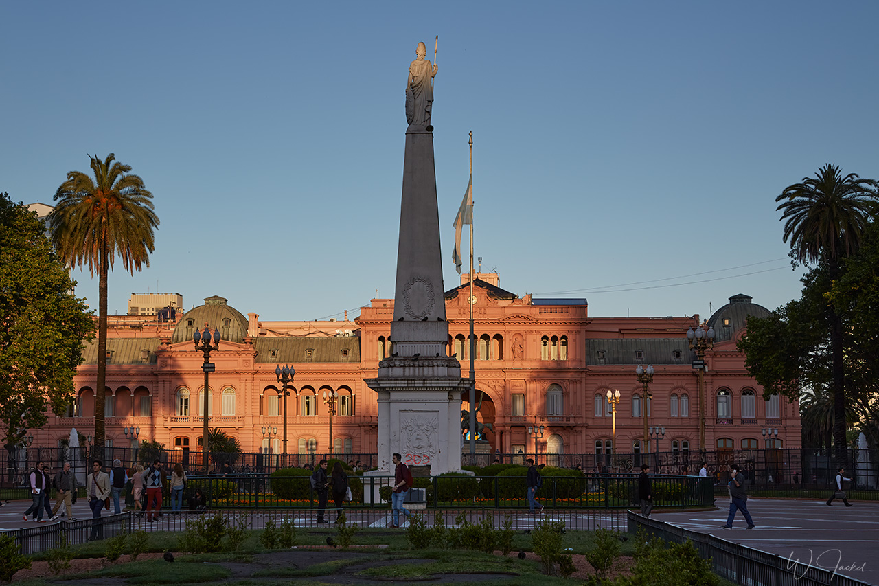
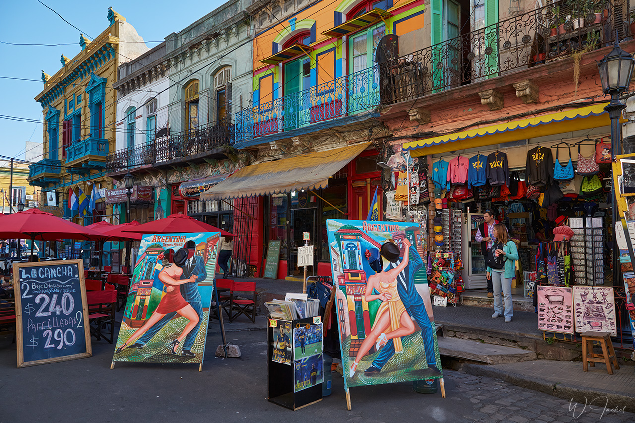
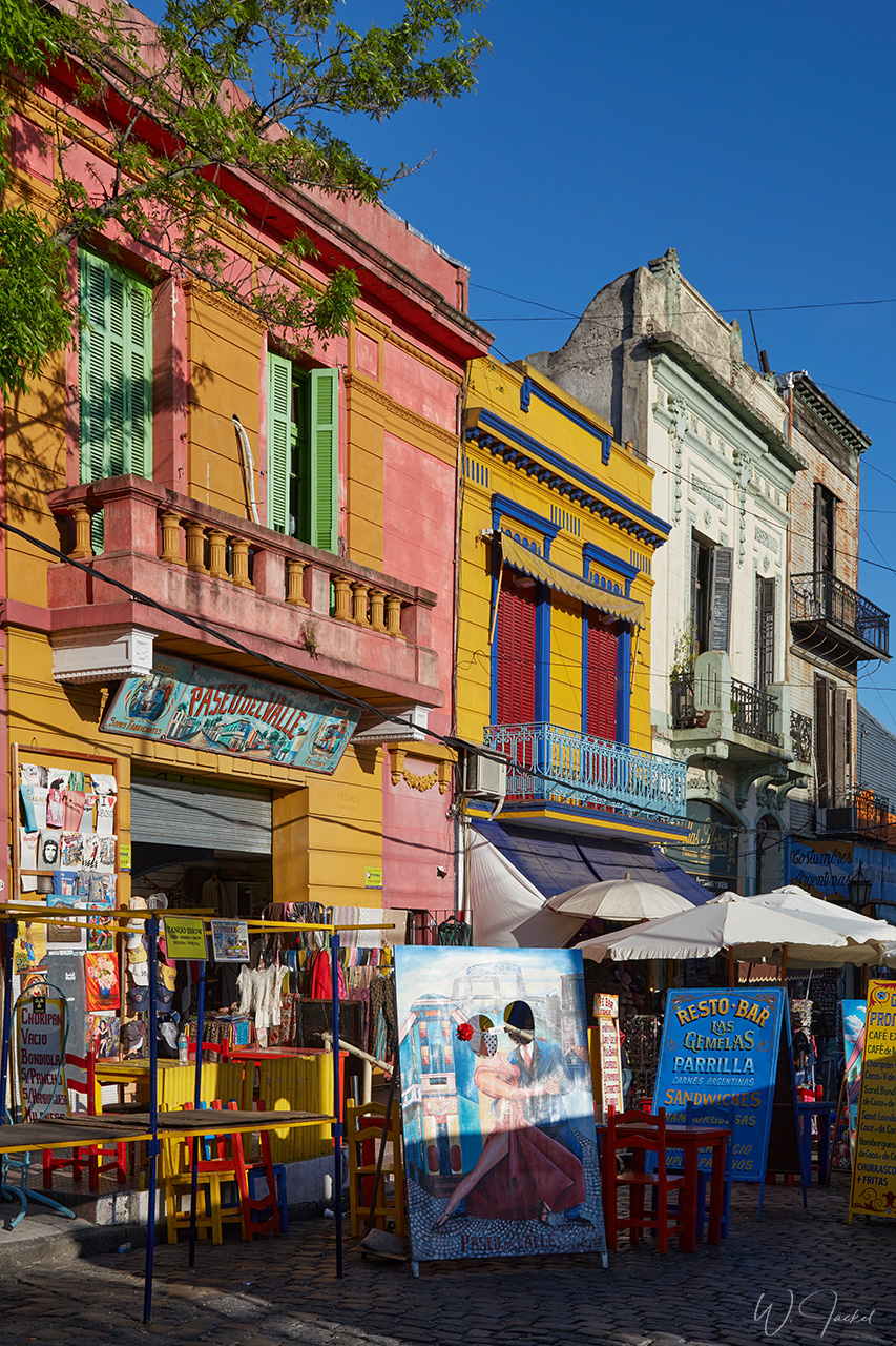
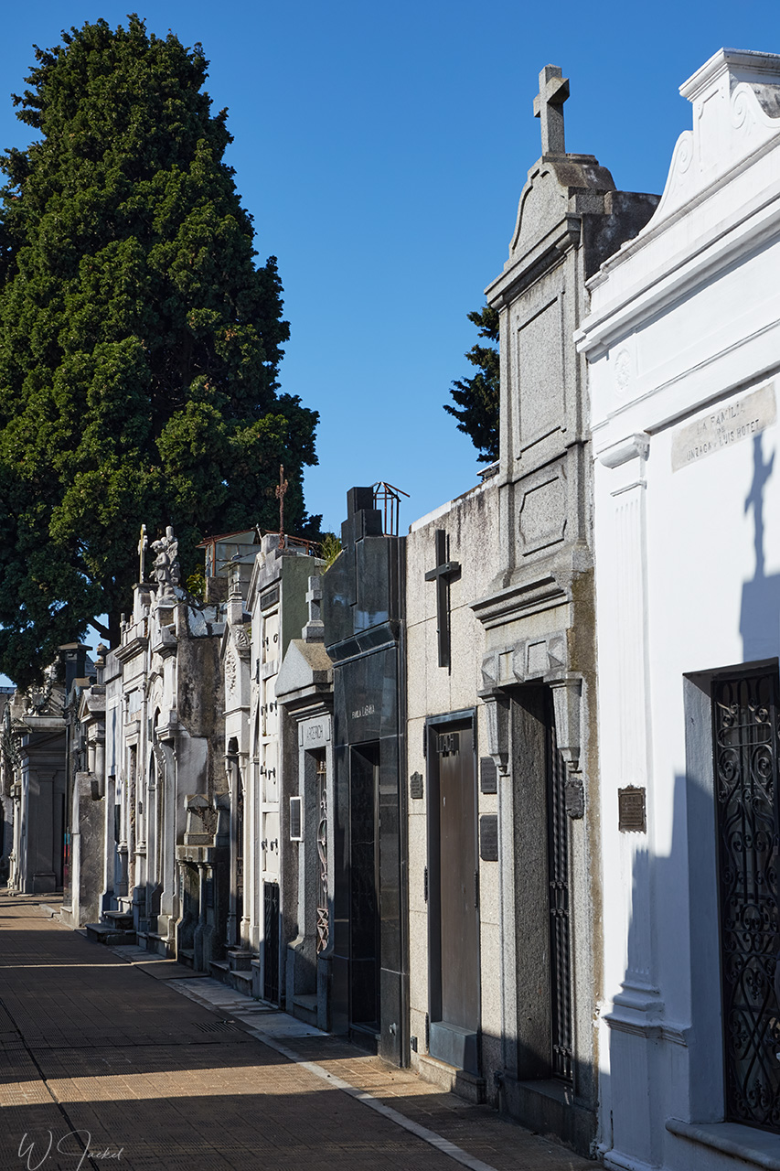
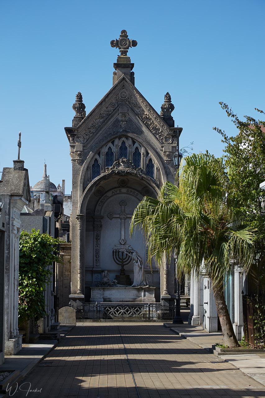
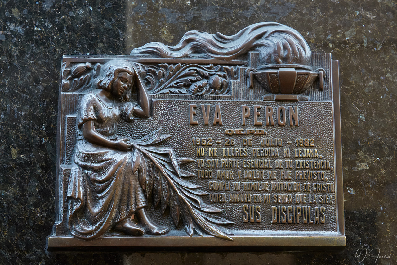
Before departure we had taken a sightseeing tour in Buenos Aires and visited the popular “La Boca” destination with its colorful houses and tango atmosphere on the streets and the known Recoleta Cemetery where the famous former First Lady of Argentina, María Eva Duarte de Perón, better known as Eva Perón and “Evita”, is entombed.
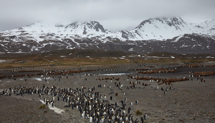
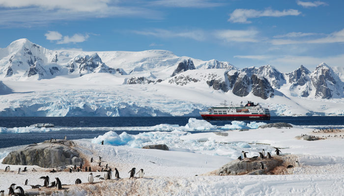
An overview of the travel route of the voyage is shown on the map below. Enlarged and more detailed sections of the itinerary are displayed on the following graphics and described there.

We left Buenos Aires following the brown waters of the Rio de la Plata estuary, passing the Uruguayan capital of Montevideo and reached the Atlantic Ocean for heading straight south.
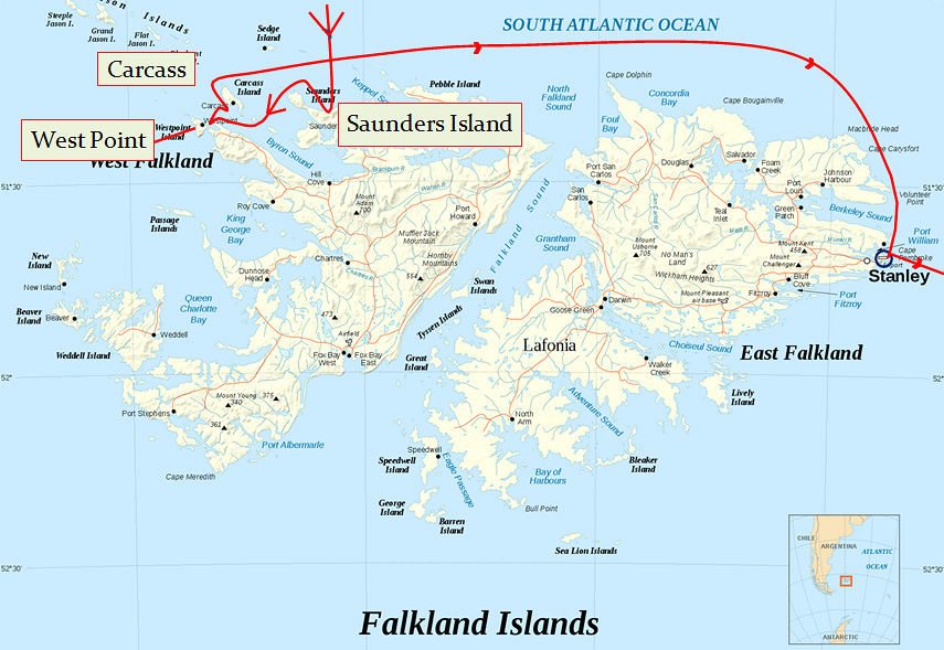
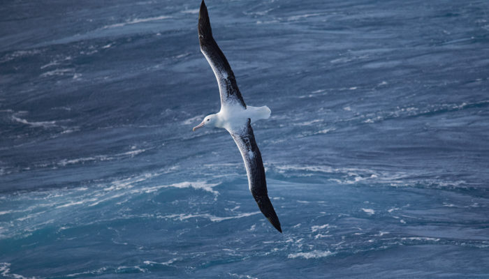
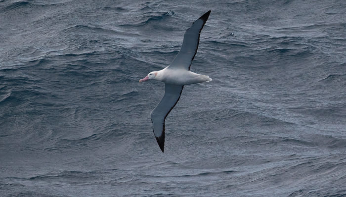
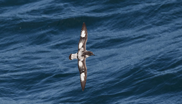
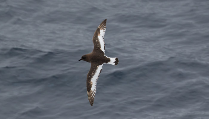
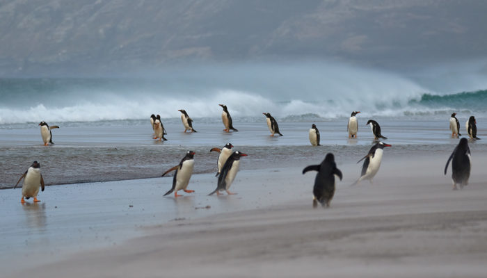
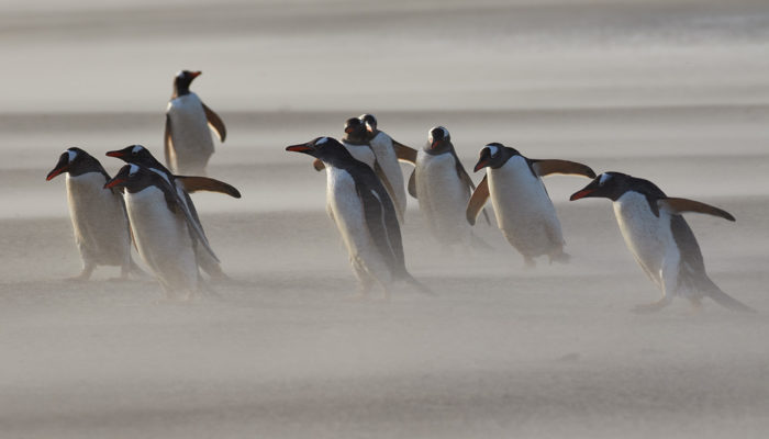
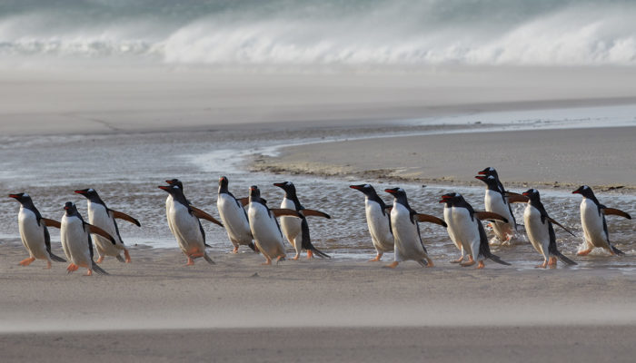
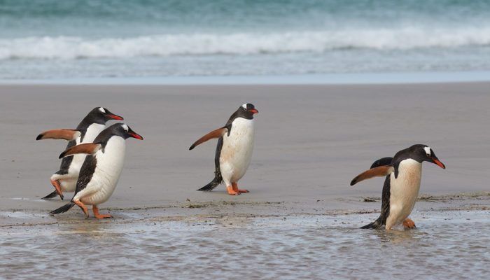
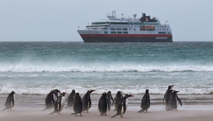
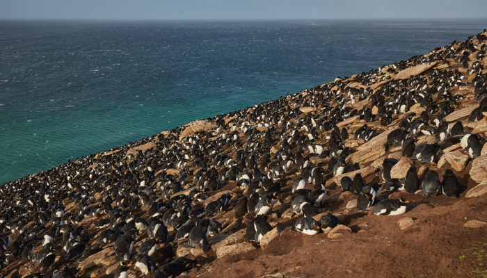
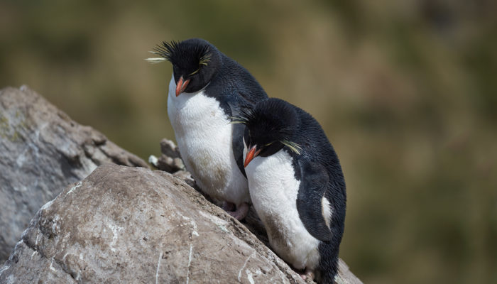
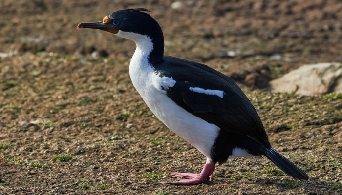
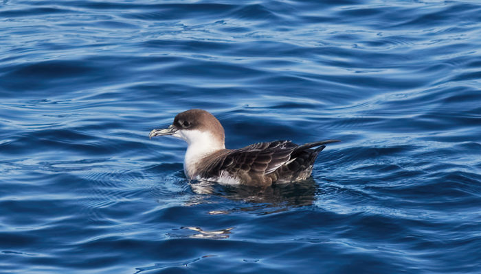
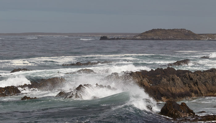
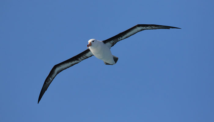
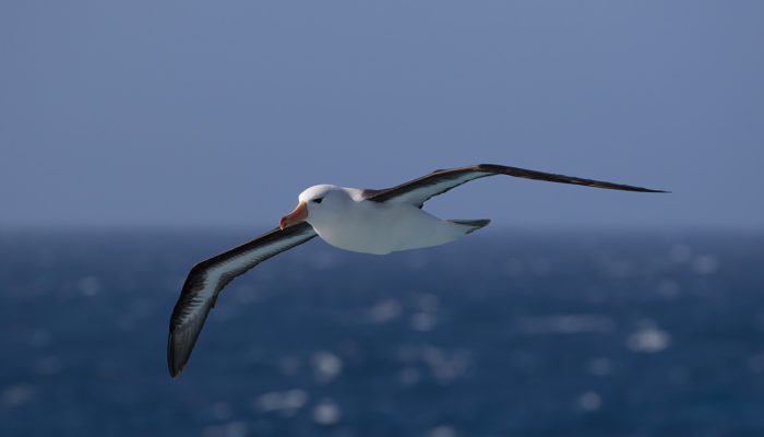
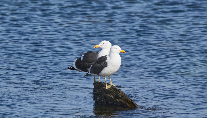
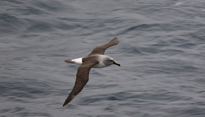
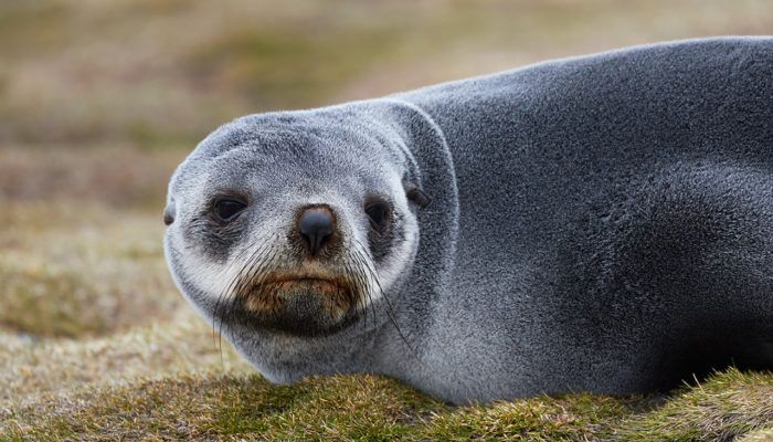
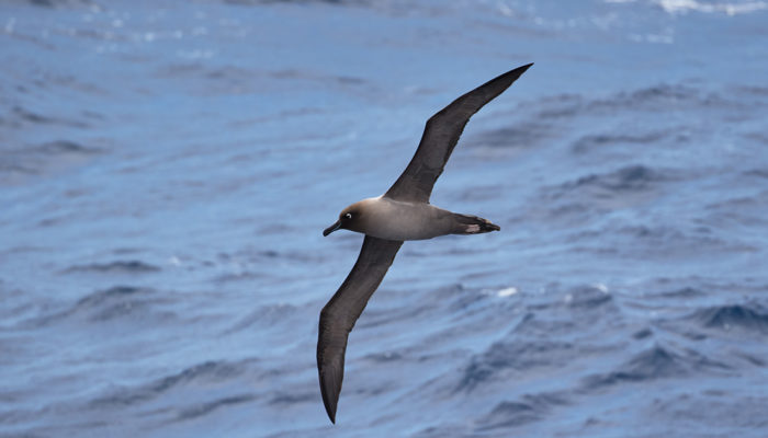
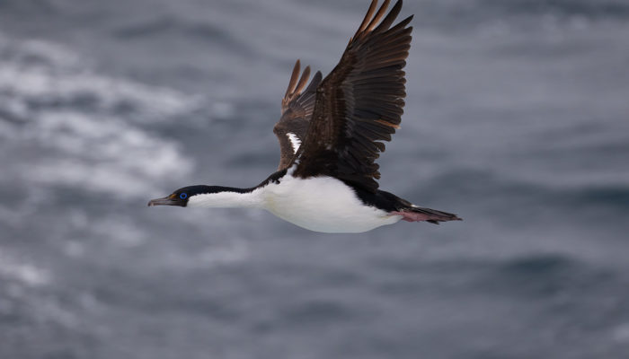
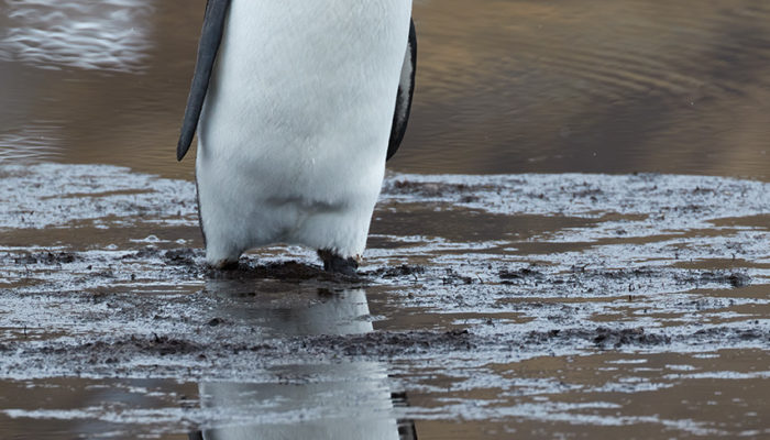
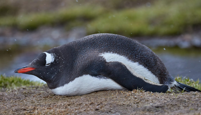
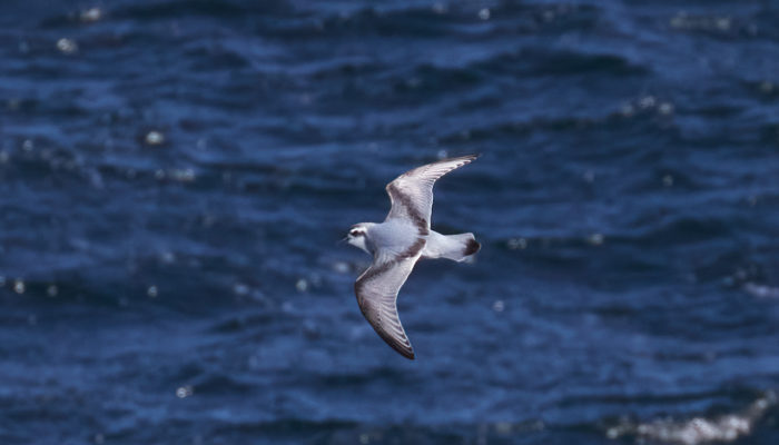
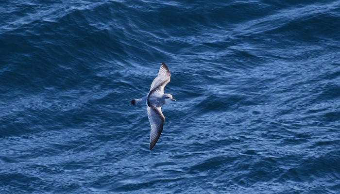
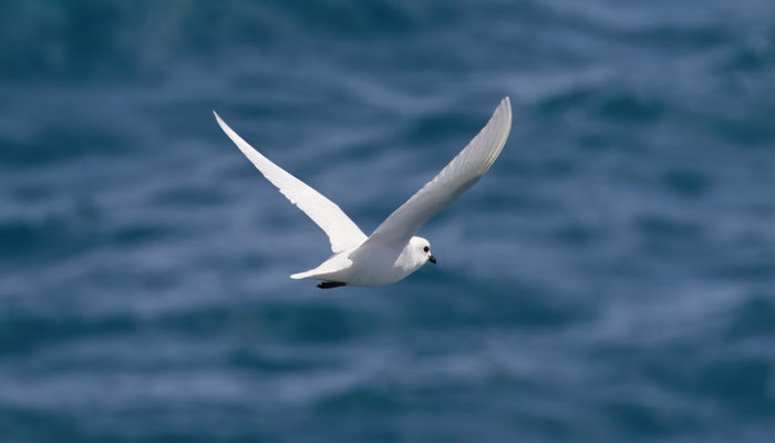
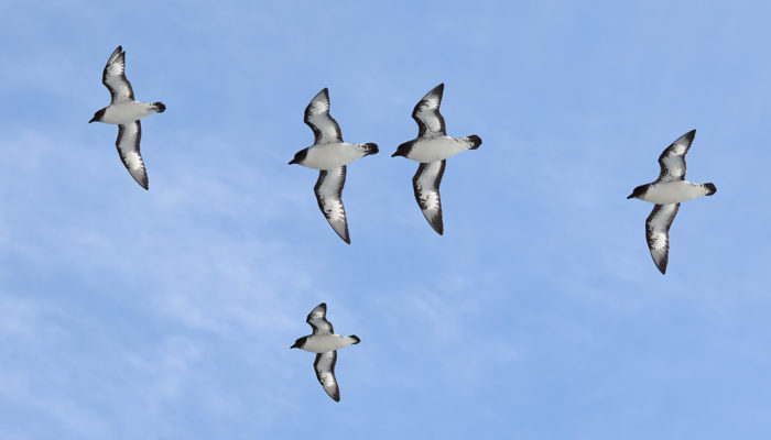
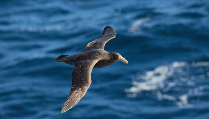
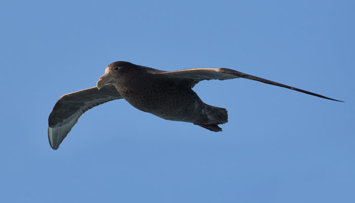
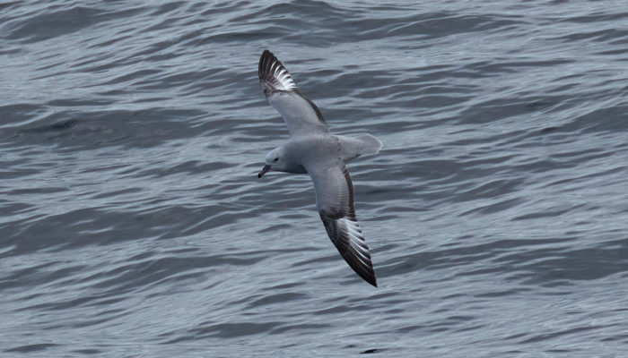
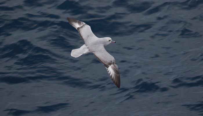
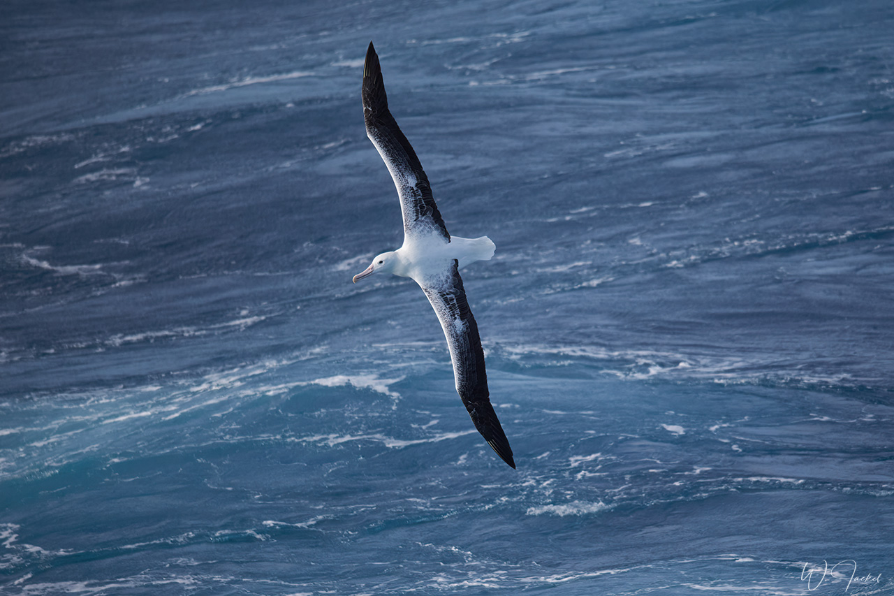
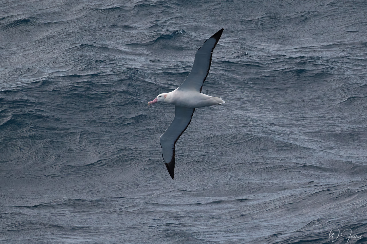
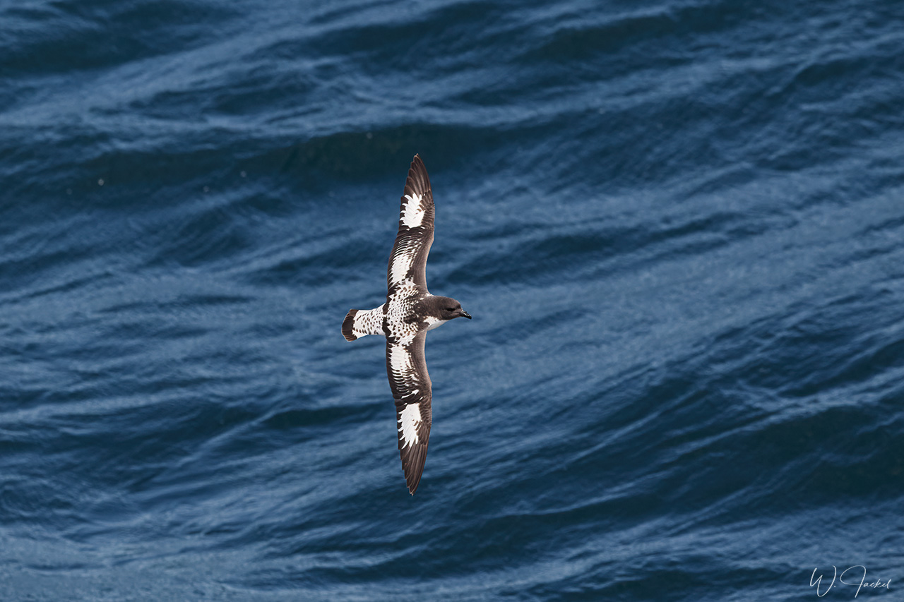
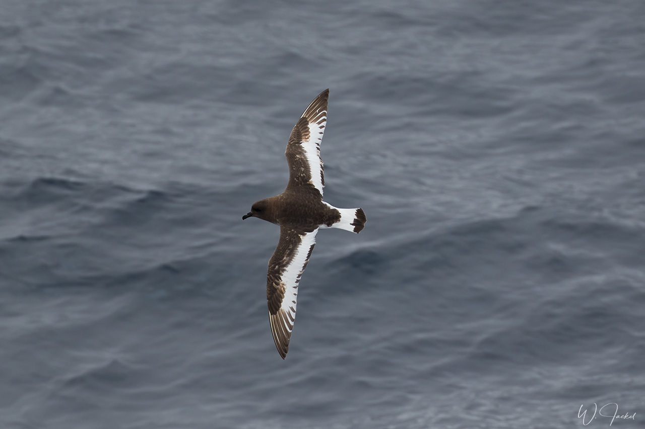
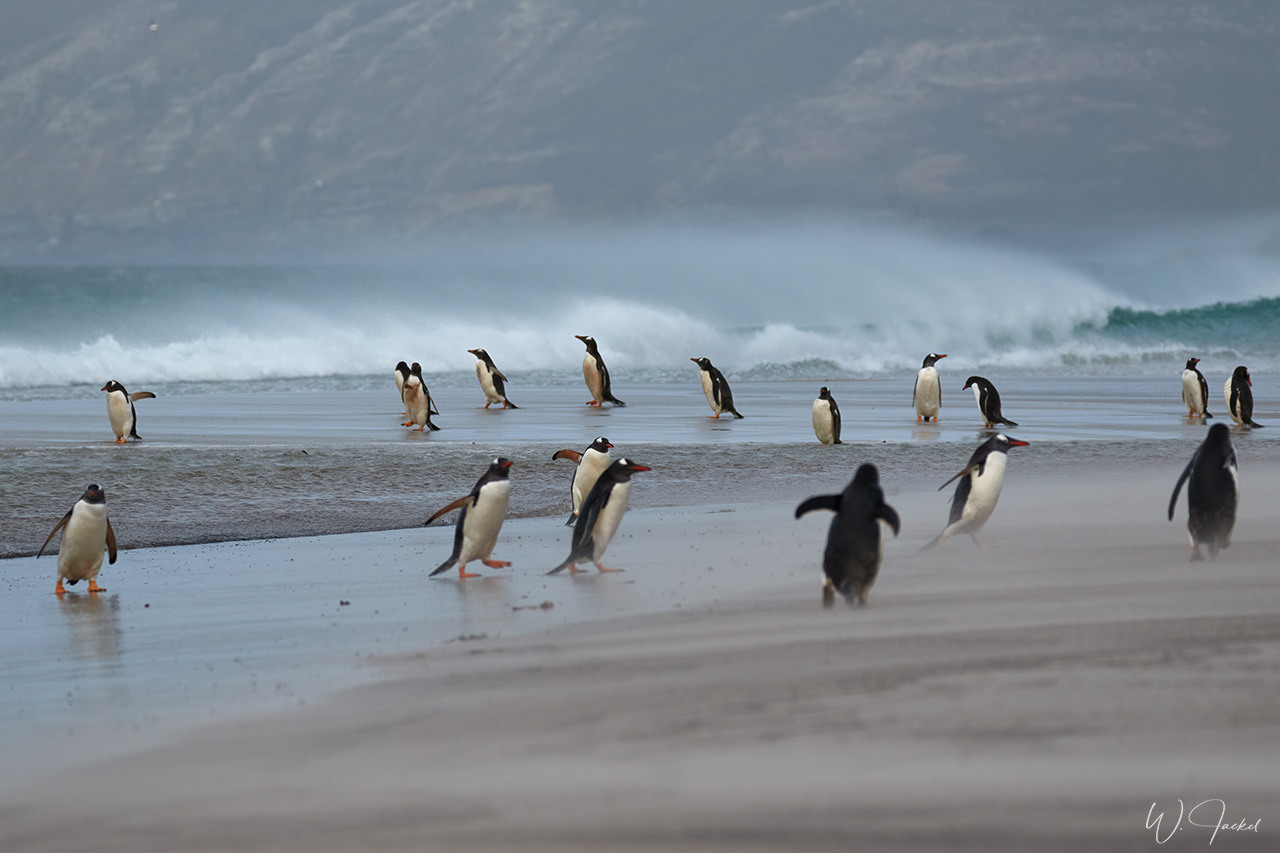
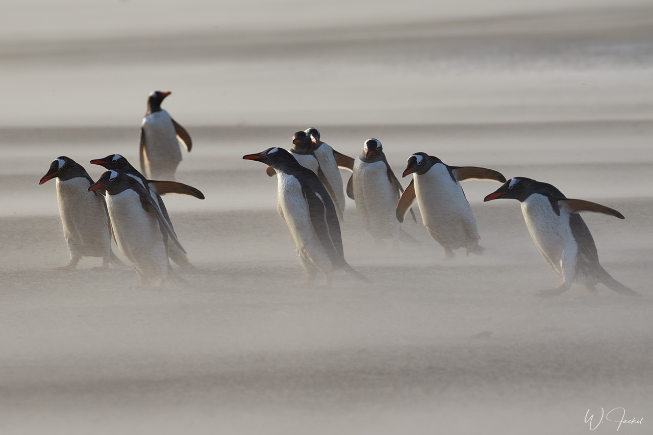
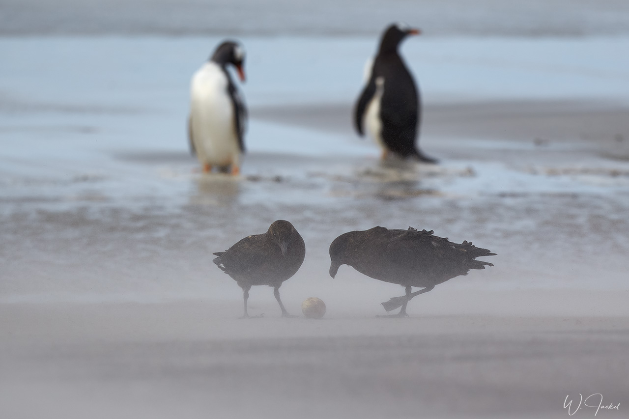
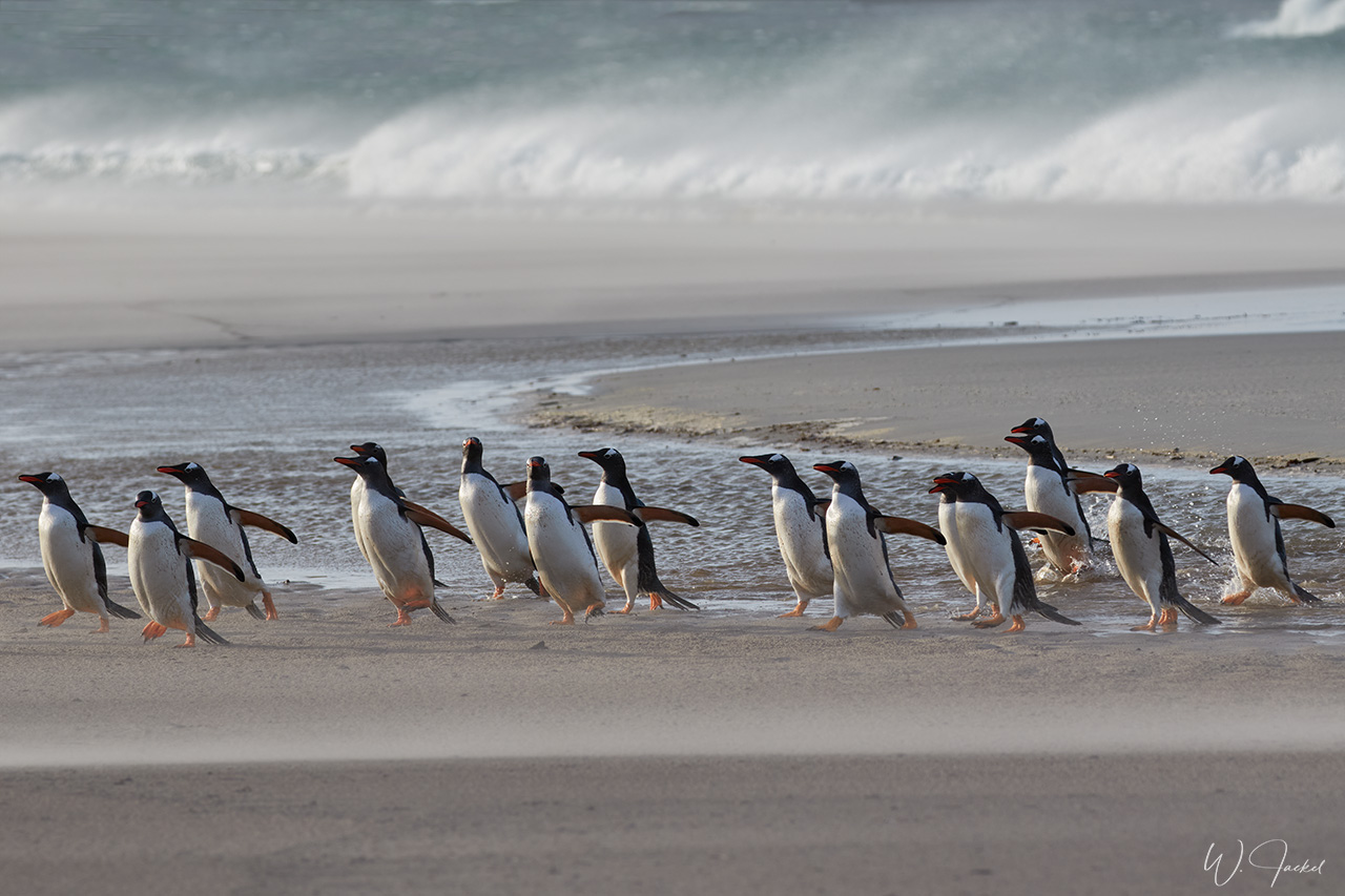
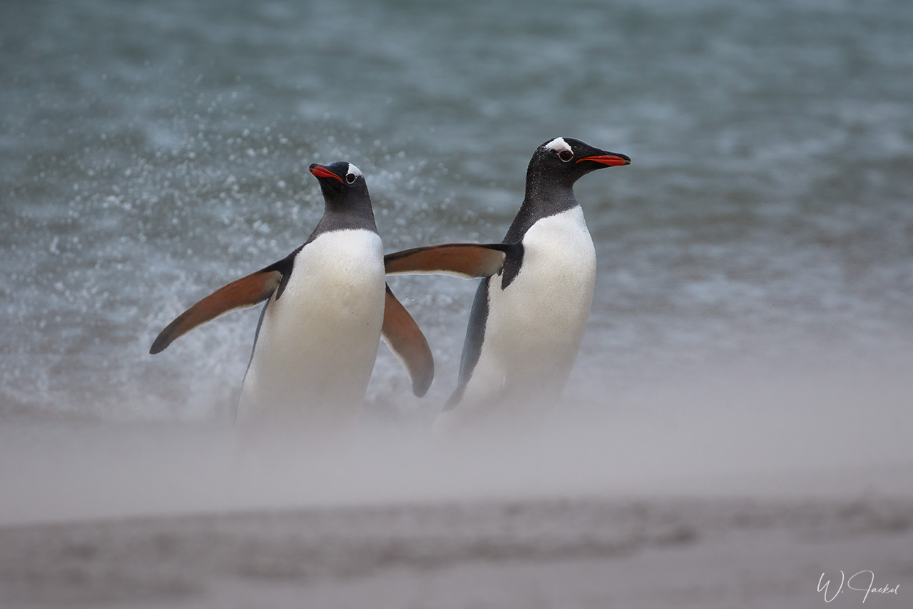
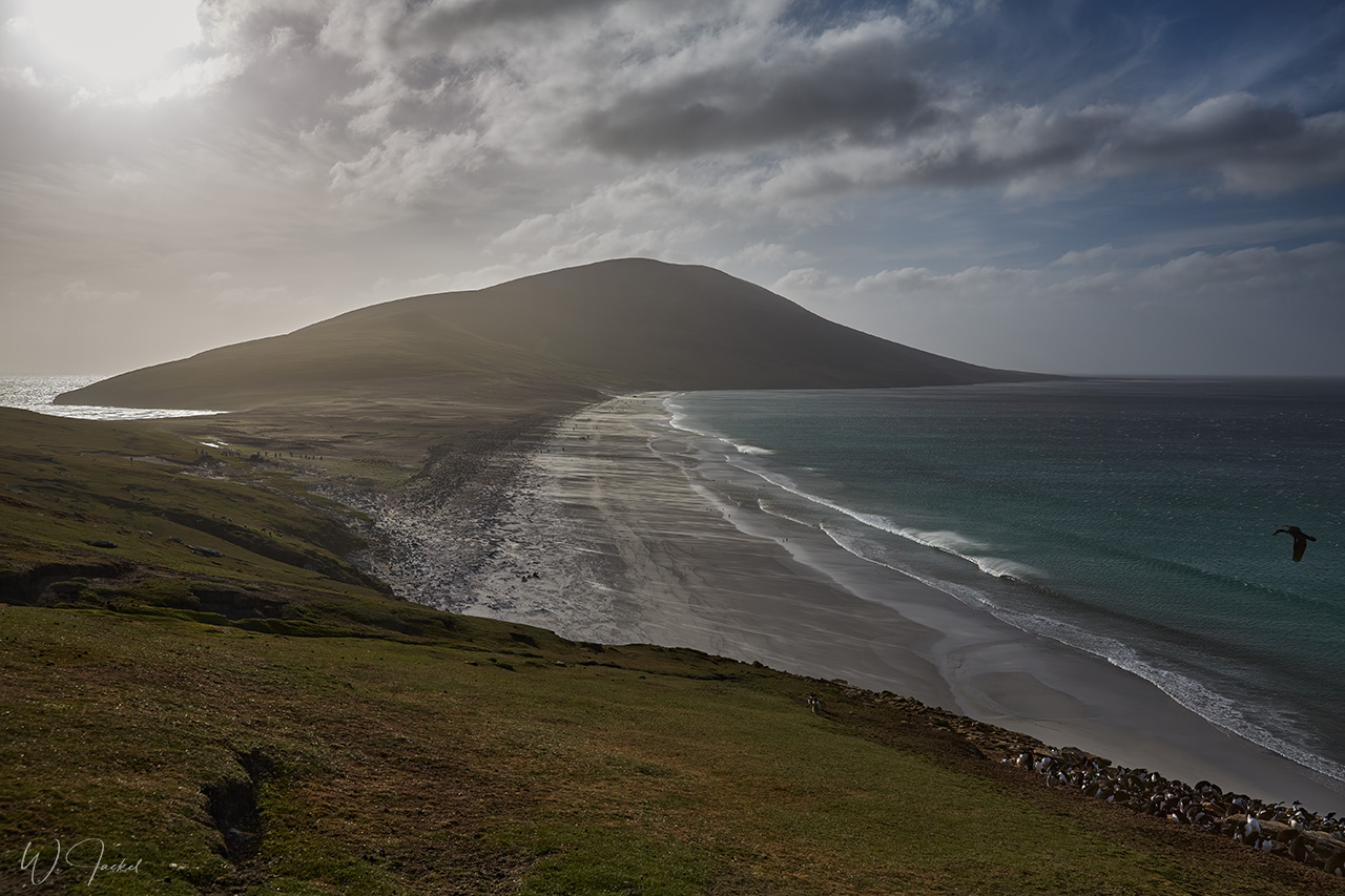
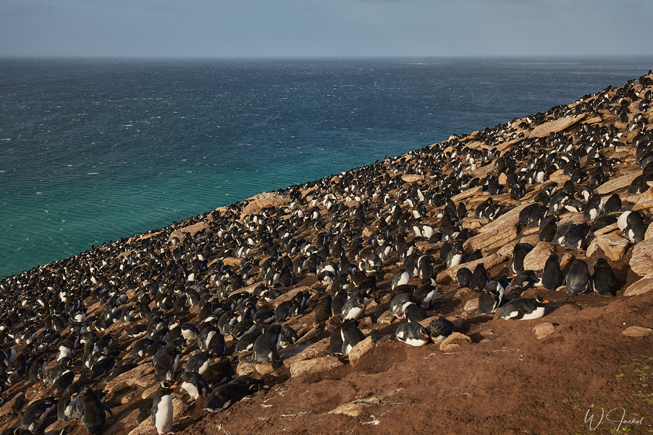
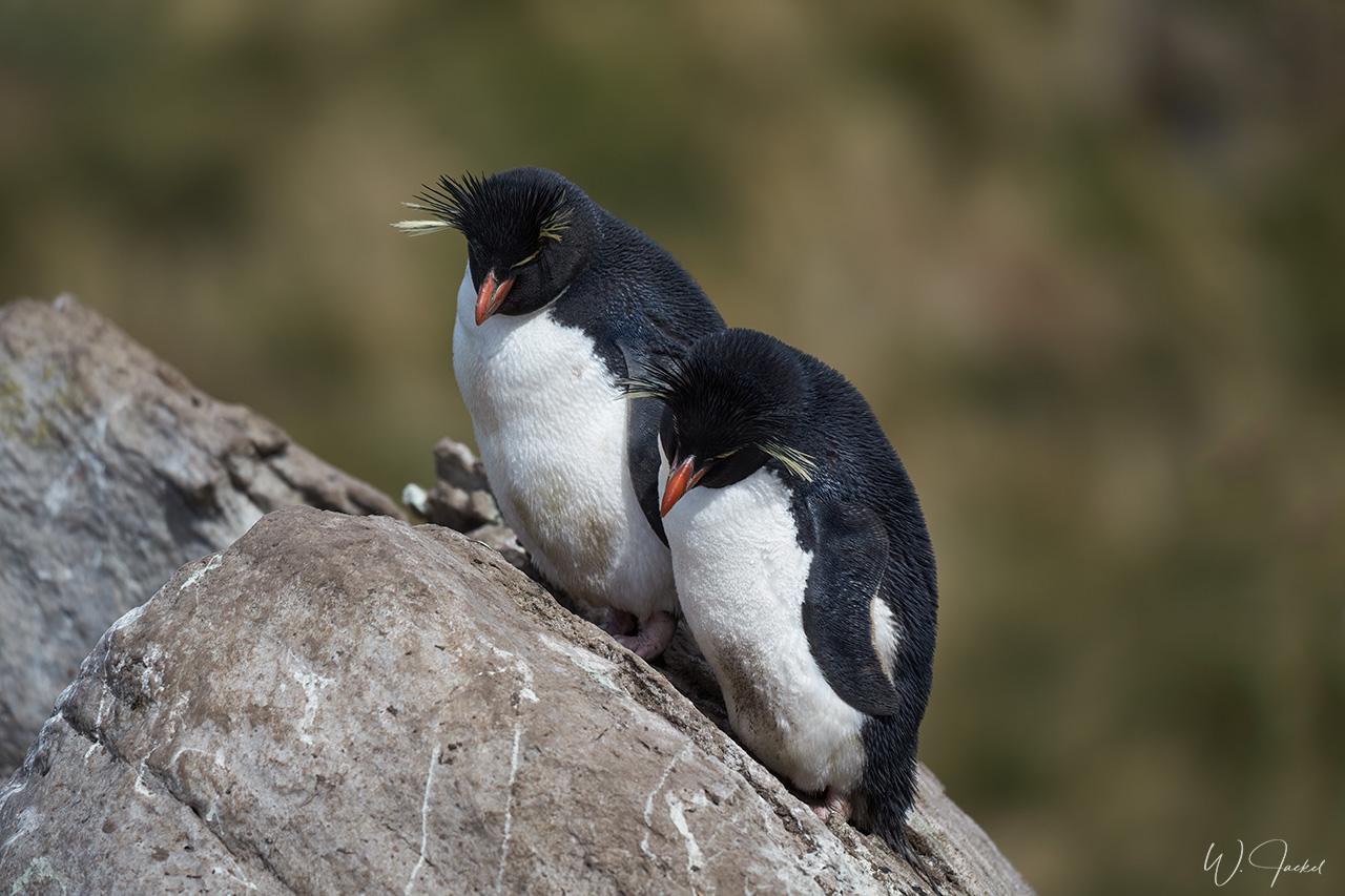
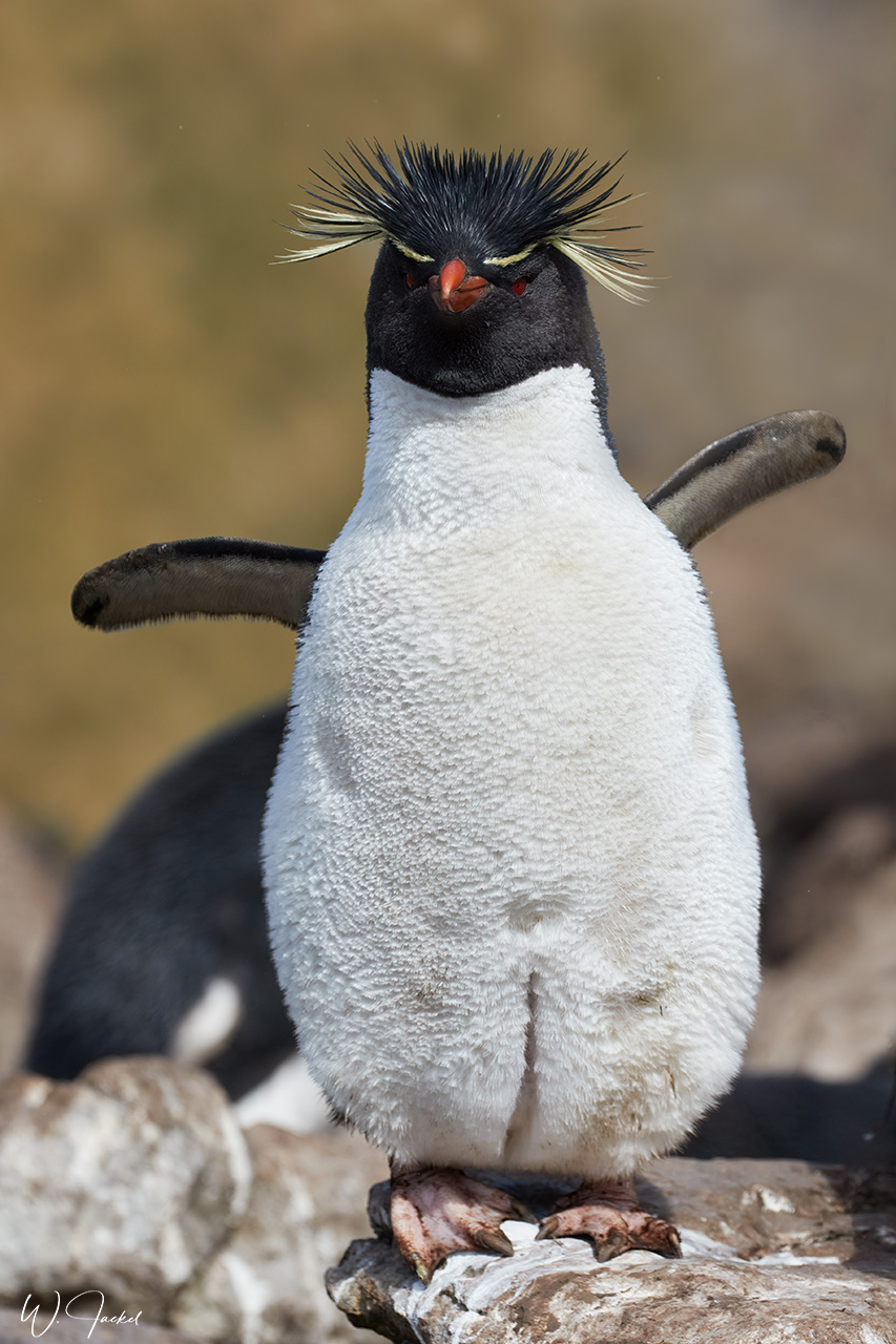
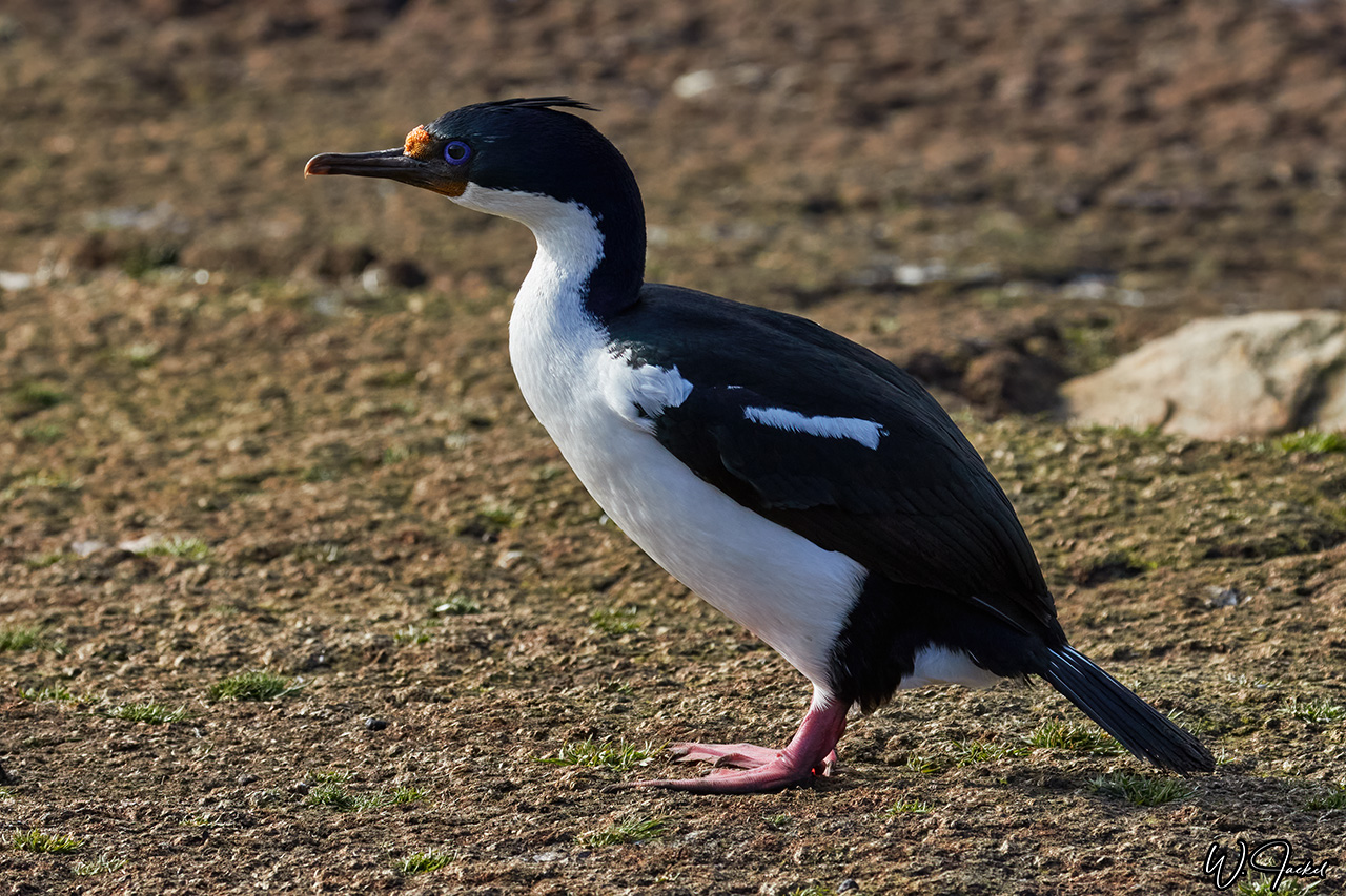
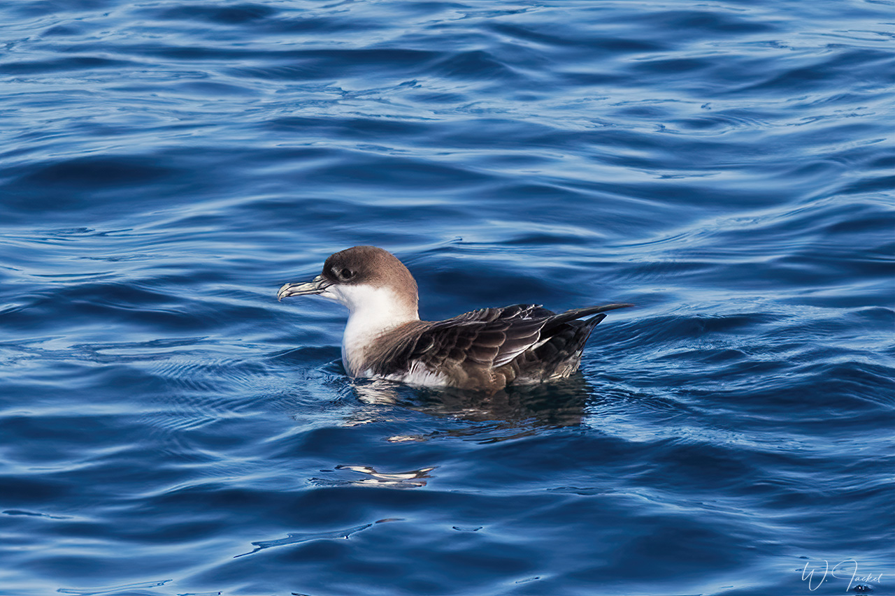
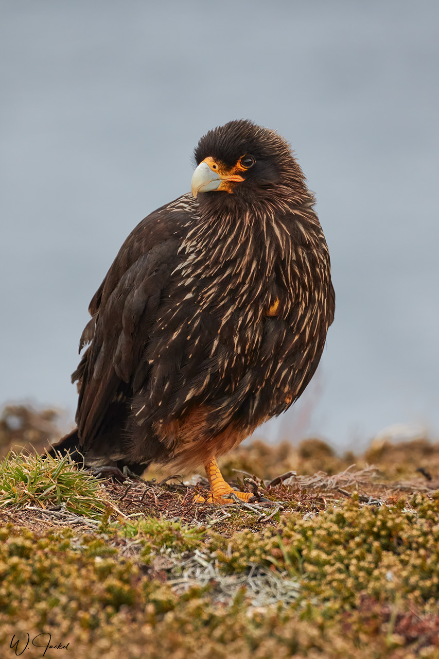
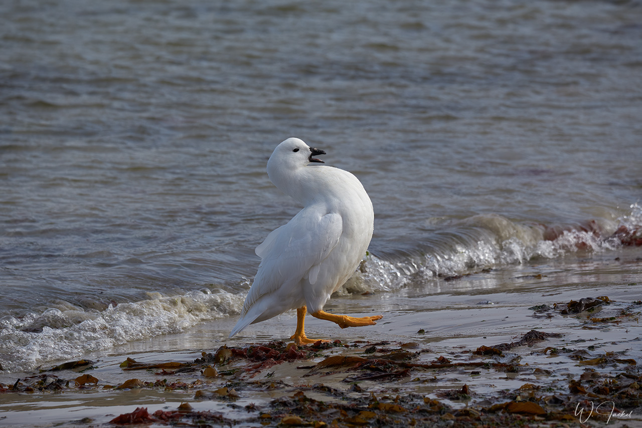
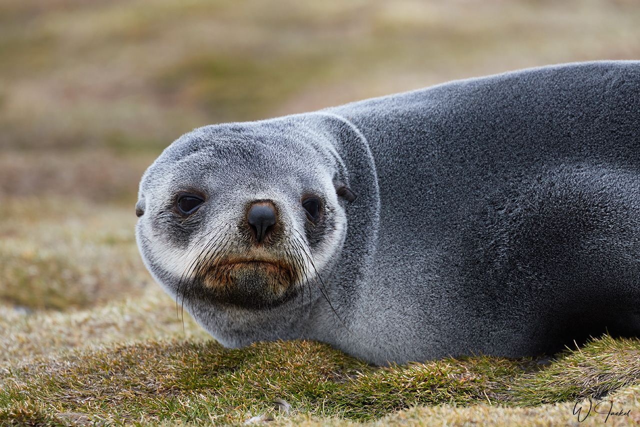
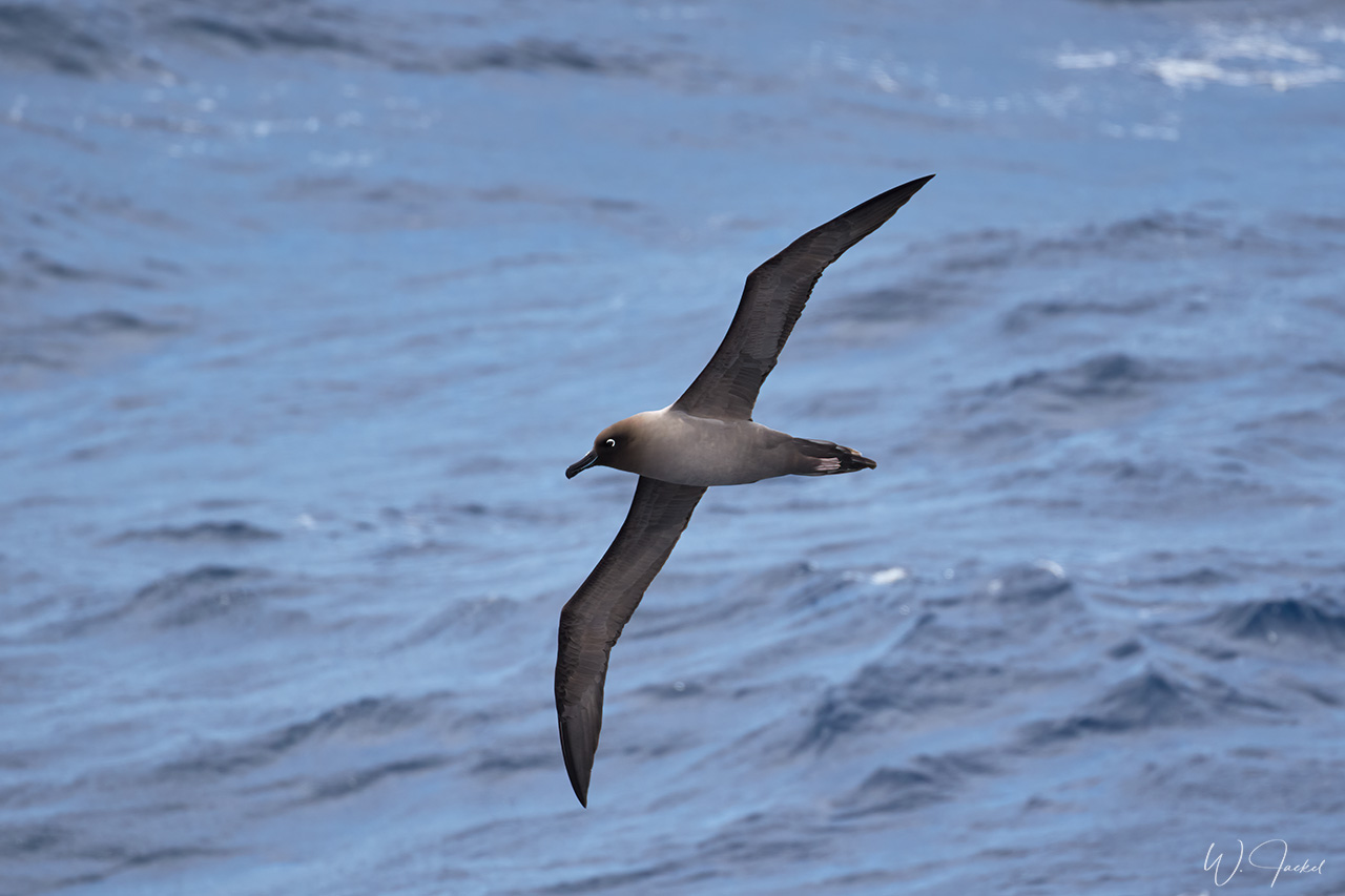
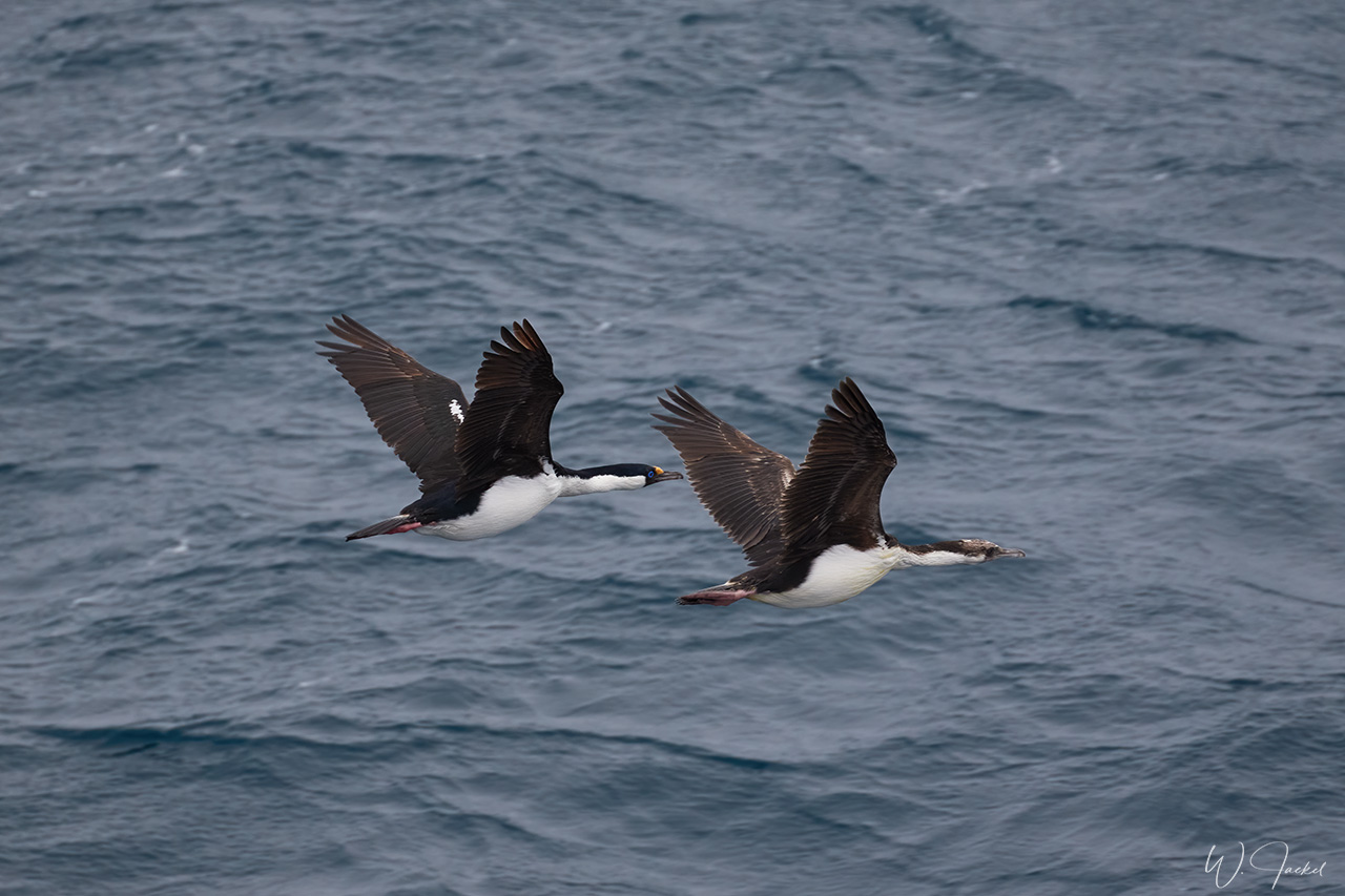
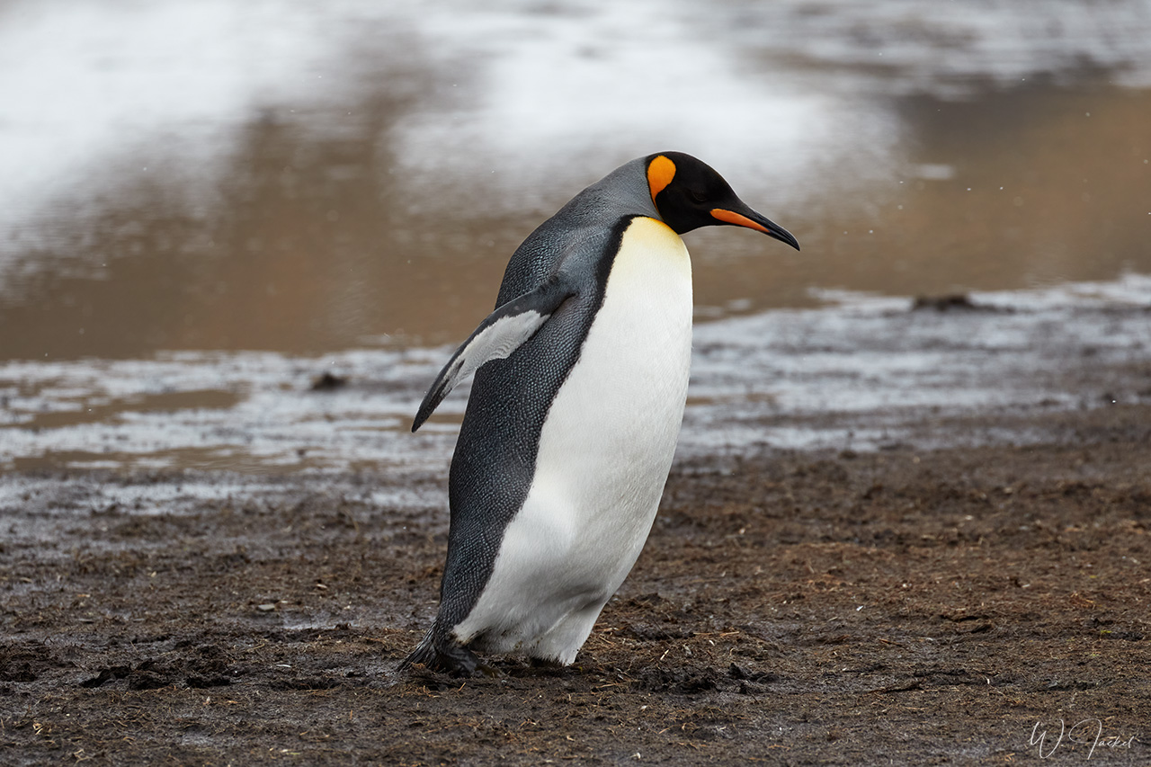
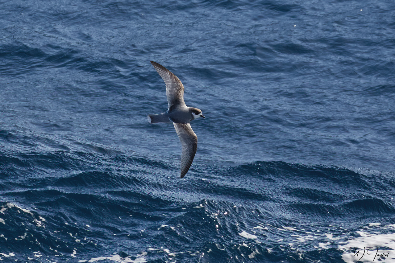
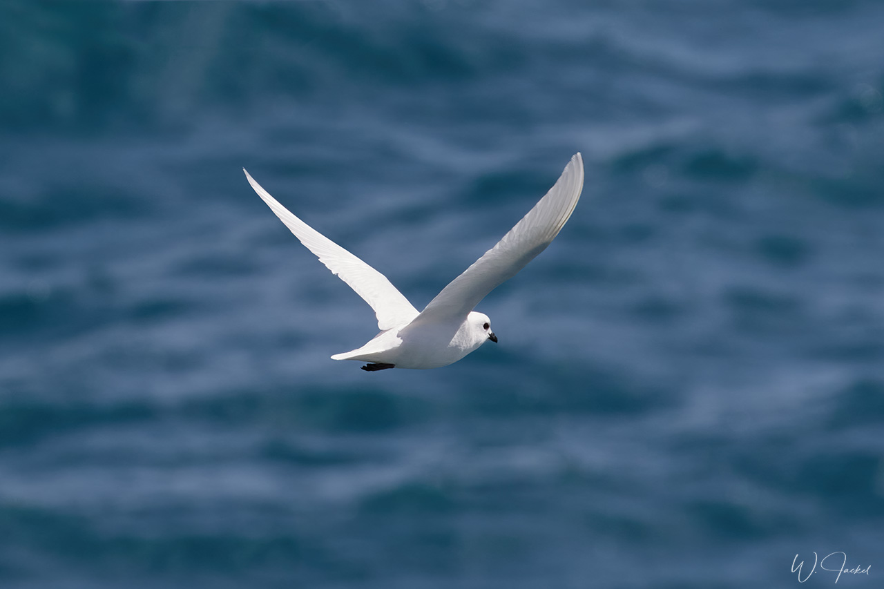
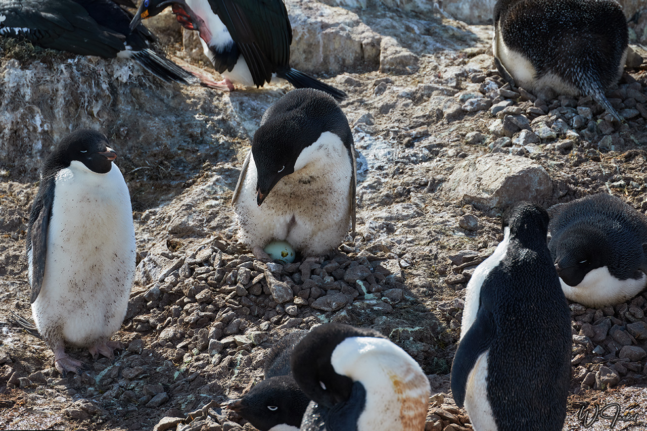
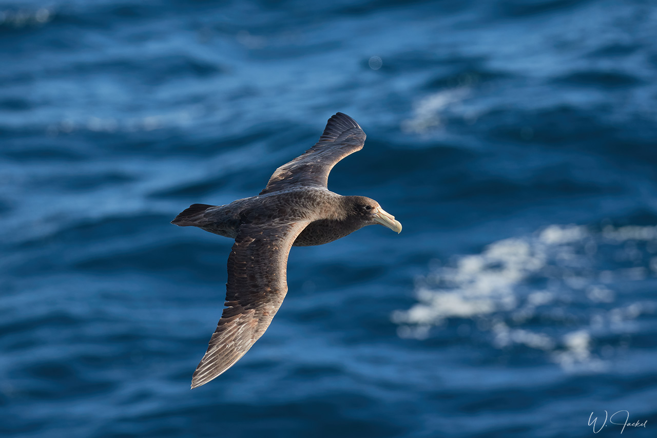
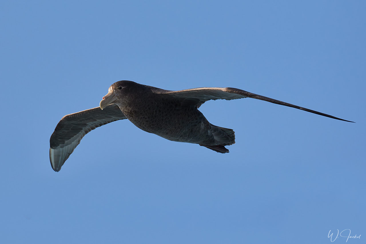
After more than 100 hours at sea and the chance to photograph albatrosses, Cape Petrels and other seabirds that were following the ship, we approached the FALKLANDS and arrived at Saunders Island for our first stop. The island has an area of 131.6 km2 and is about 21 km from east to west and almost that distance from north-east to south-west. Port Egmont on the island was the site of the first British settlement, established in 1765. The wind was blowing very strong causing rollers at the landing site and a heavy sandstorm on the beach. Nevertheless, the visit was fascinating by offering lots of good pictures of the Gentoo Penguins in the waves and fighting the sandstorm ashore like South American Terns, Dolphin Gulls and some King Penguins did it, too. Uphill we also visited a large colony of Rockhopper Penguins with some Macaroni Penguins nesting in between. We also spotted Crested Caracaras and Blue-eyed Shags there.
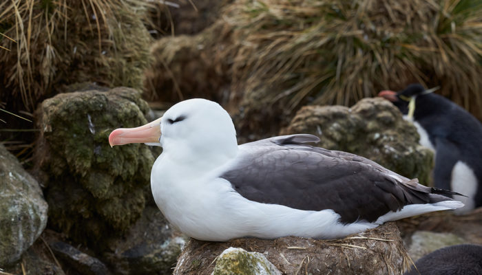
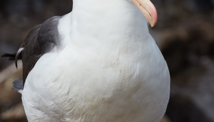
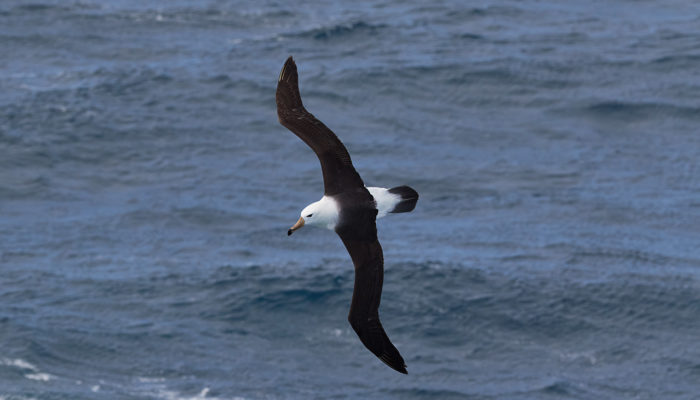
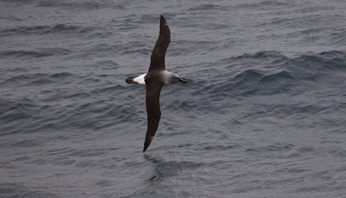
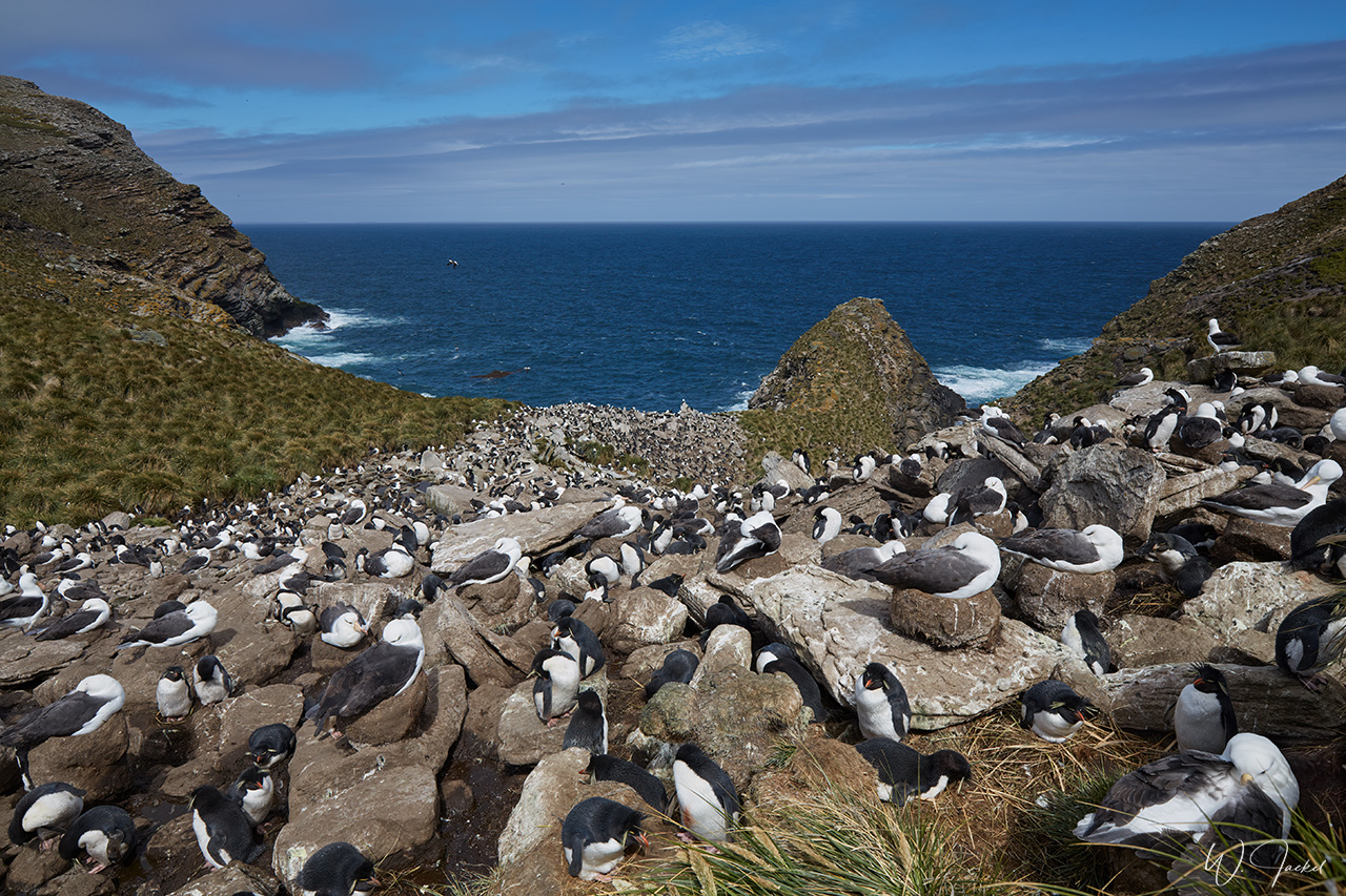
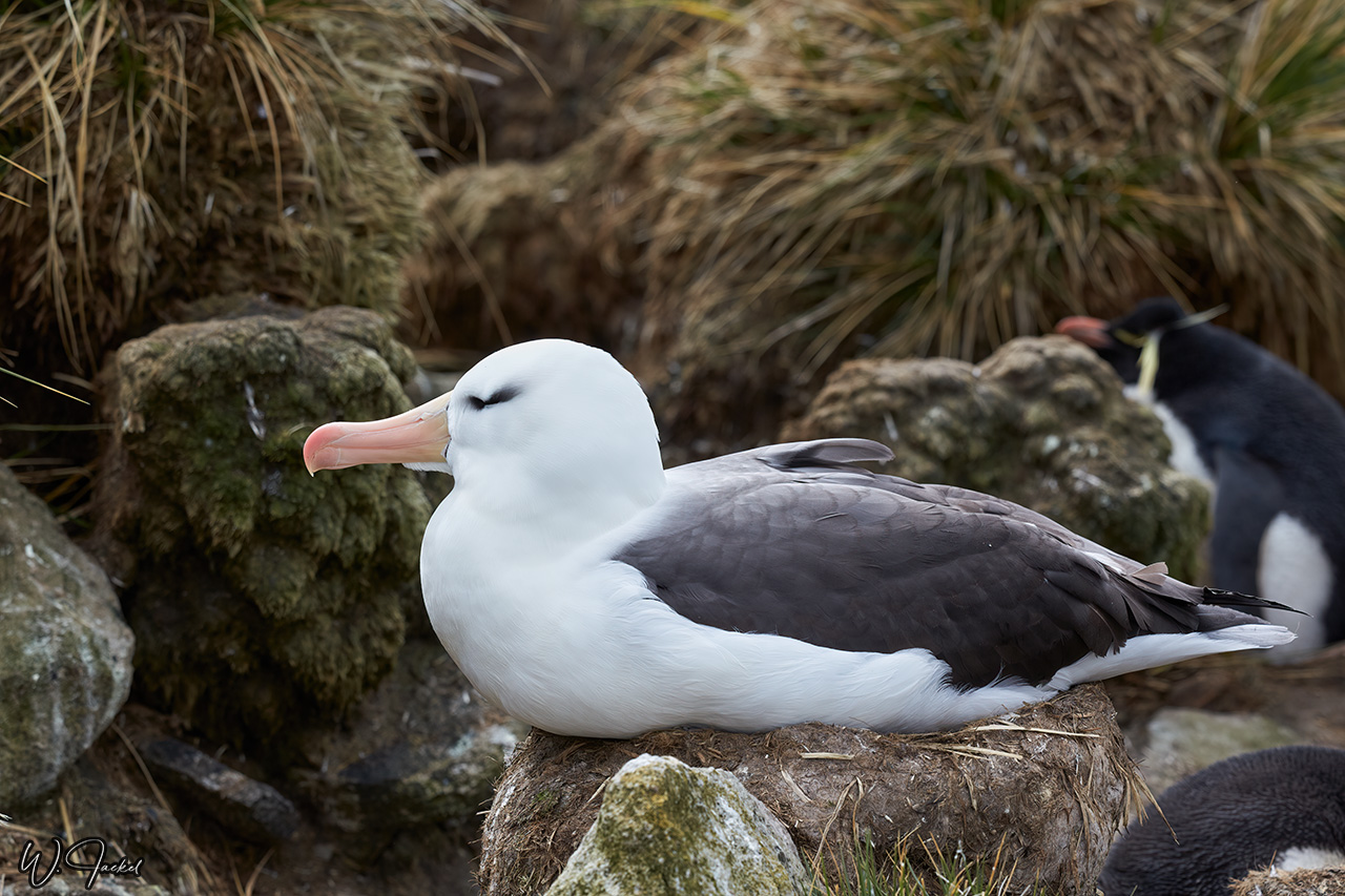
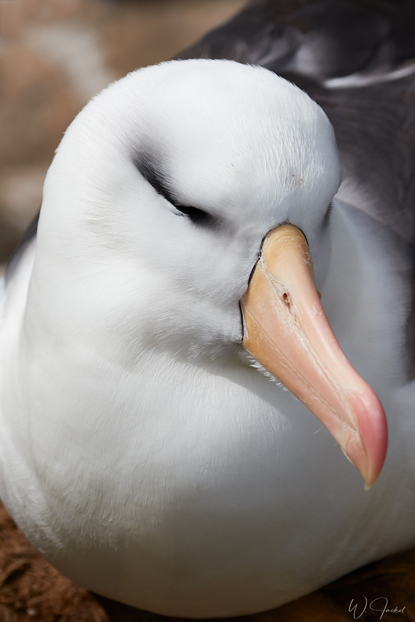
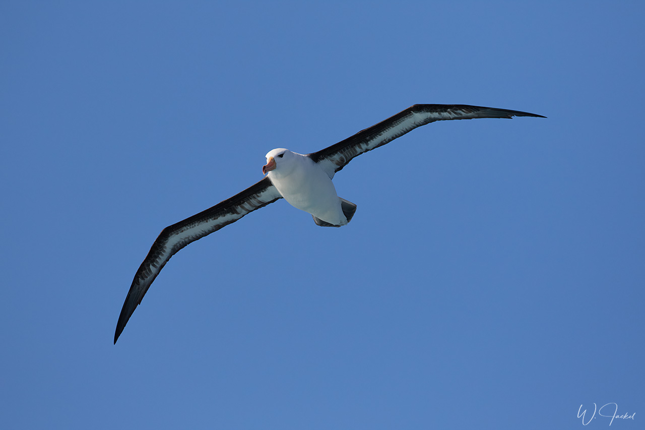
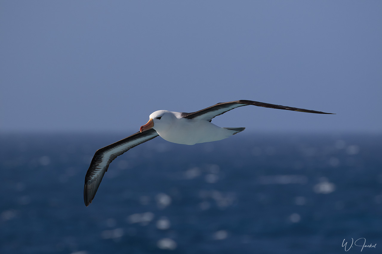
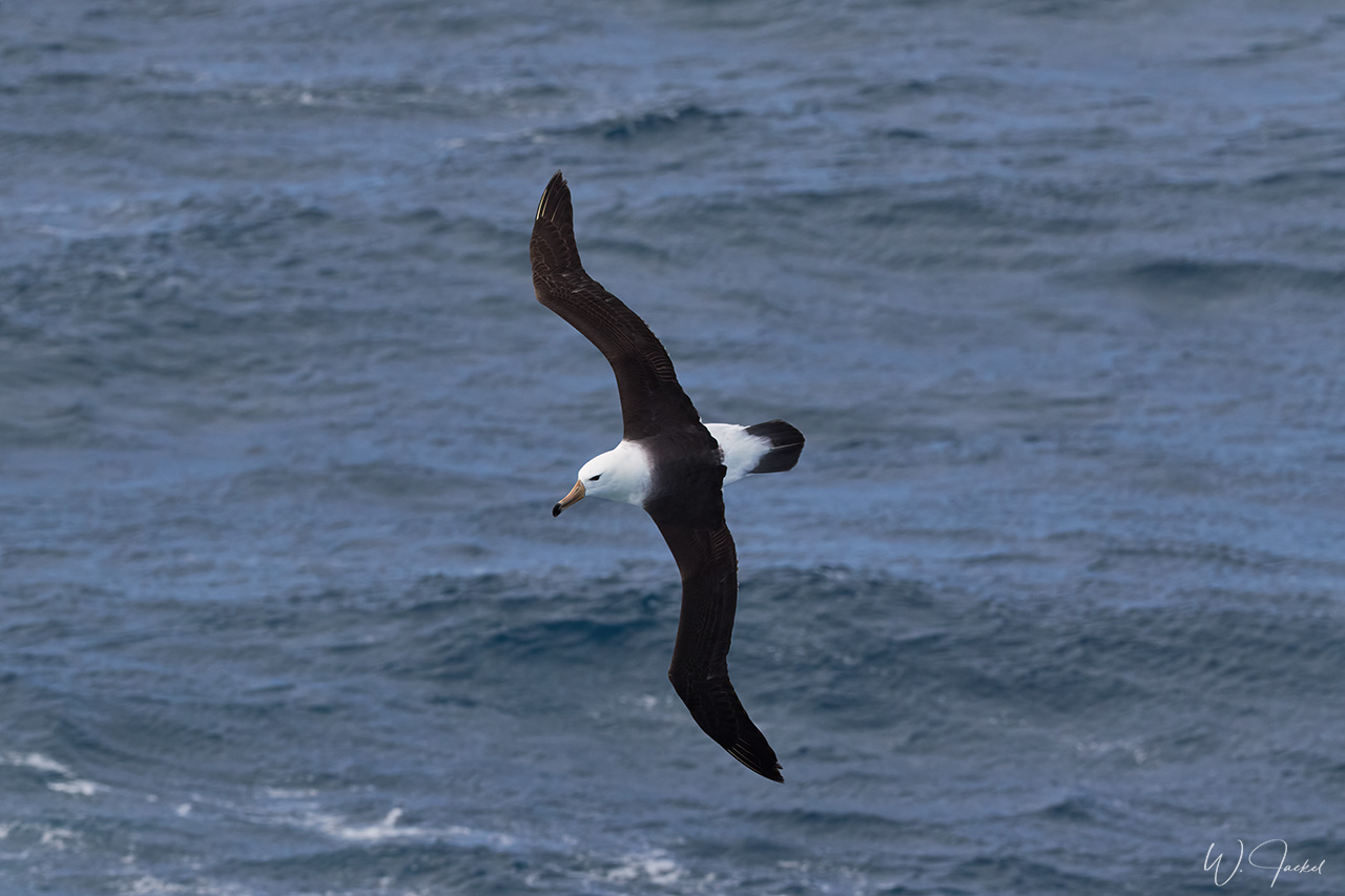
Next stop was the 6km long Westpoint Island in the north-west corner of the Falklands archipelago for a 2,5km hike to the albatross colony at Devil’s nose. This rocky promontory is the habitat of approximately 2100 breeding pairs of Black-browed Albatross, living together with about 500 pairs of Rockhopper Penguins. It was a great experience to visit the rockery. Westpoint Island is privately owned by the Napier family and run as a sheep farm and tourist attraction. The very first cruise vessel to come to the Falklands stopped here in 1968.
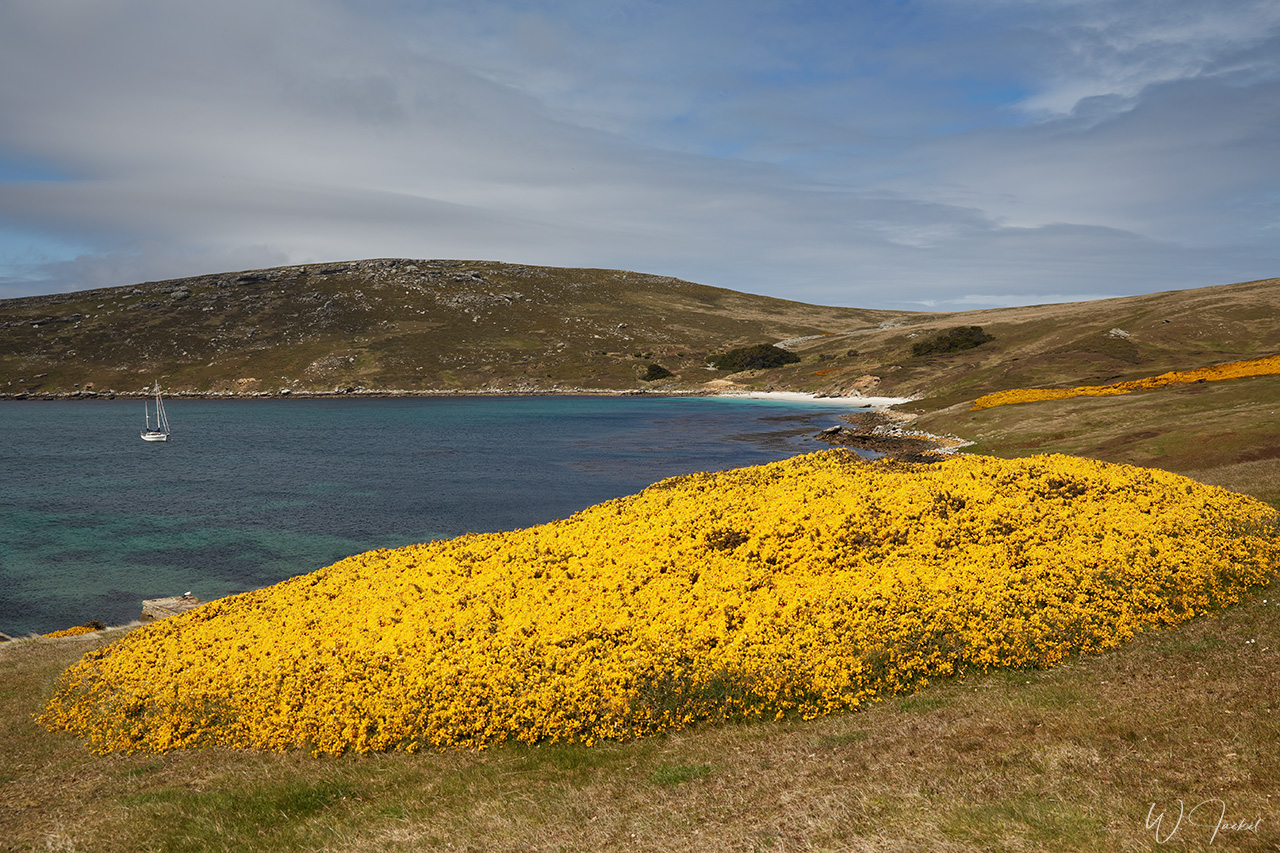
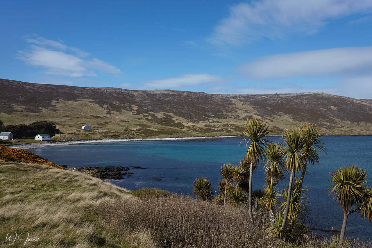
We continued to Carcass Island, also situated in the North West of the Falkland Islands archipelago. With its length of 10,2 km and an area of 18,9 km2 it is the largest of the West Point Island Group of the Falklands and takes its name from the HMS Carcass which visited in the late 18th century.
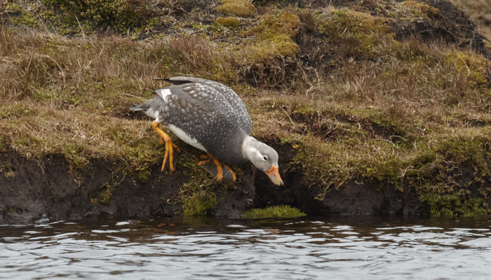
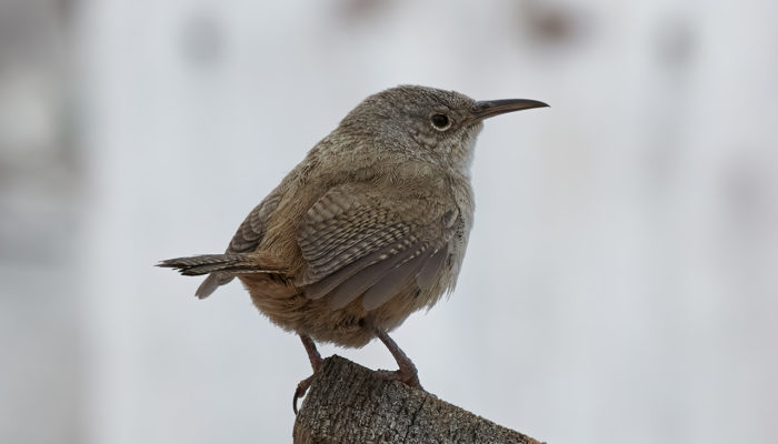
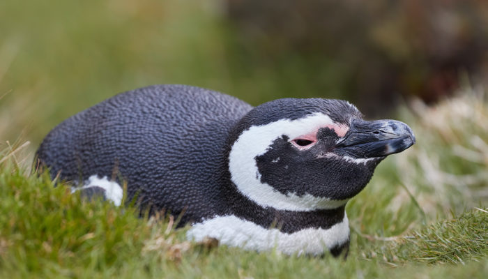
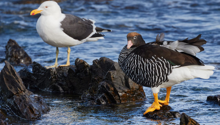
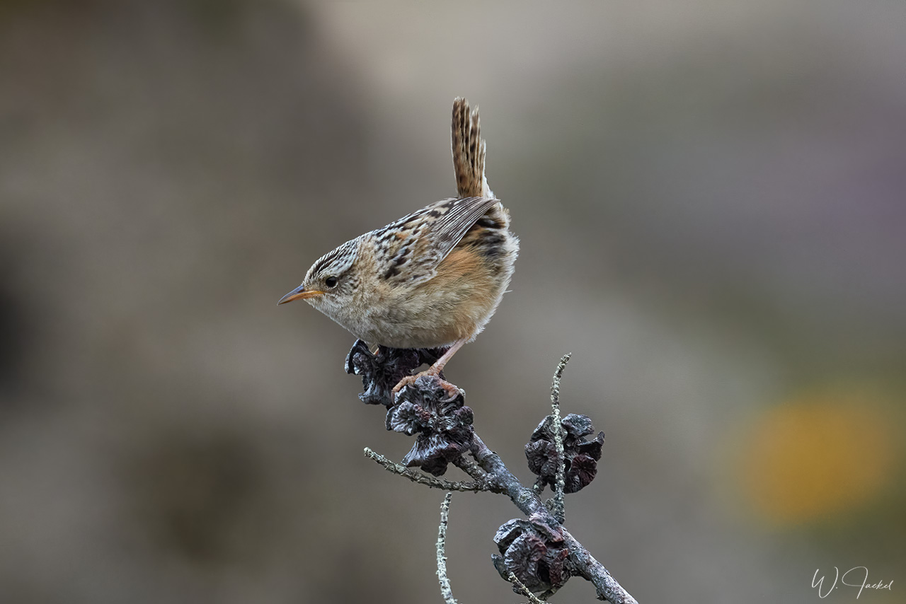
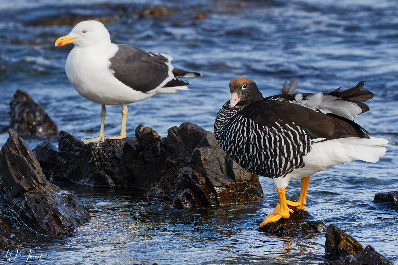
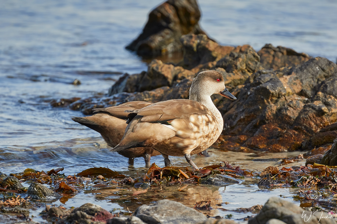
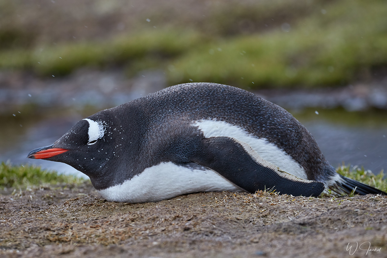
At all sites in Carcass a prolific number of shore birds are to be seen: Flightless Steamer Ducks, Magellanic Penguins, Gentoo Penguins, Cobb’s Vren, and many other species, some of them endemic. For now, there are only two all year residents and a few more in the summer: As of 2015, the present owners, Rob and Lorraine McGill, have lived on the island for about 30 years. Around 900 sheep live on Carcass Island which unlike much of the Falkland Islands is water-rich and has several water resources.
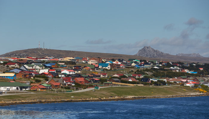
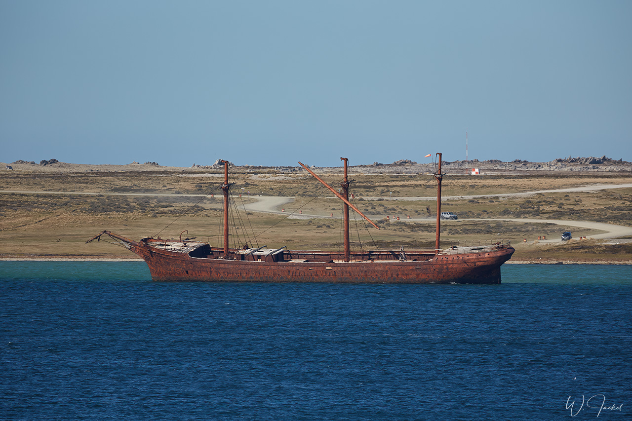
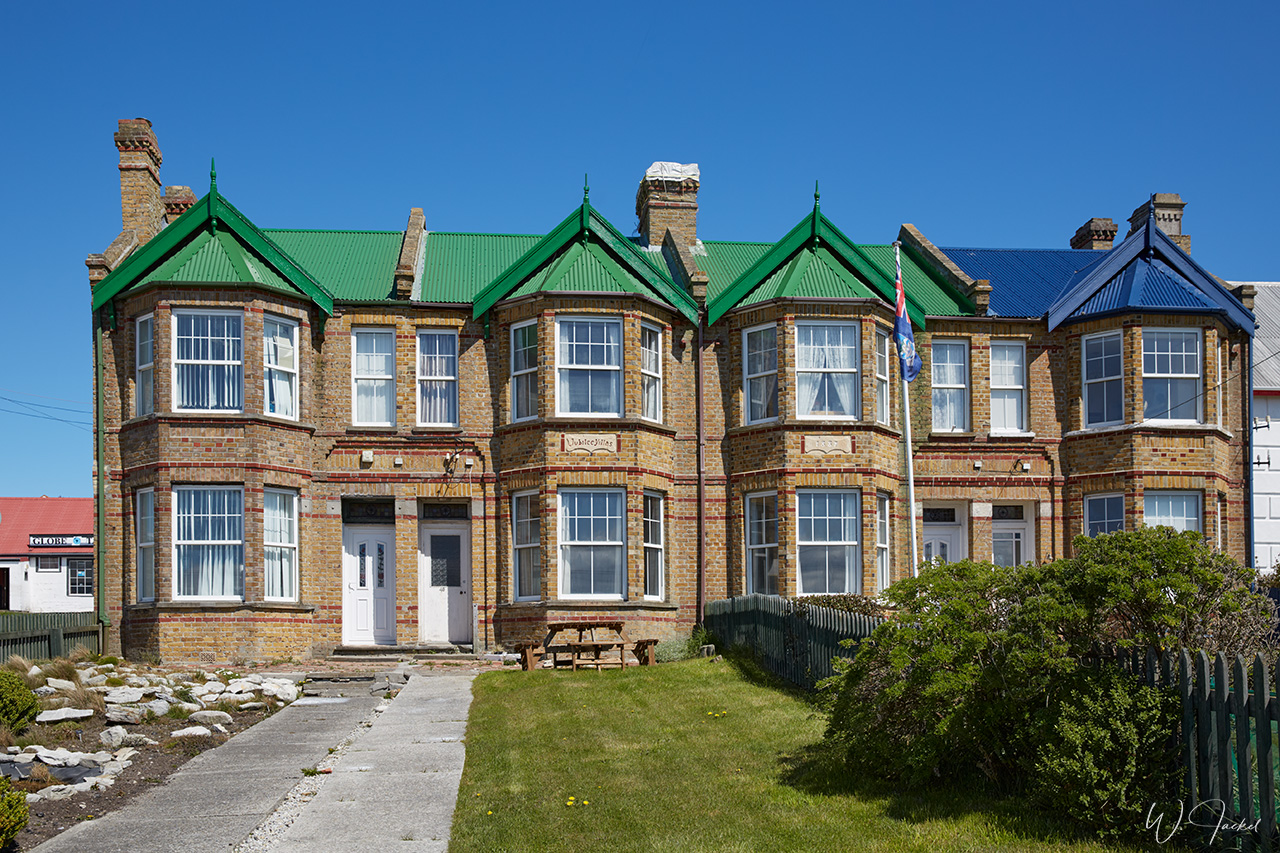
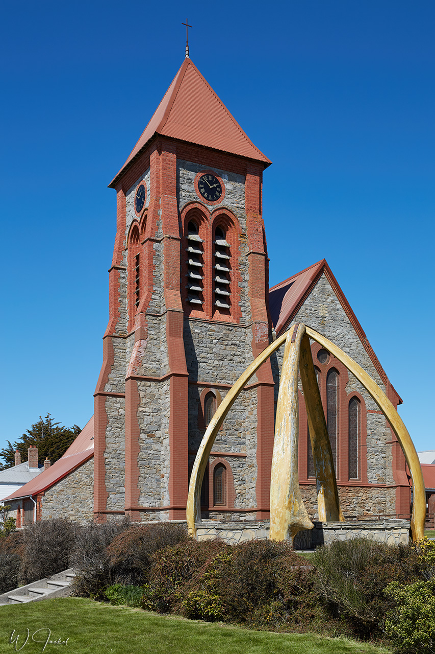
Our last call on the Falklands was Stanley, located in a sheltered bay on the island of East Falkland. It is the only town in the archipelago, at the same time the capital and the new seat of the government. The place was first settled in the early 1840’s. Initially surviving as a provisioning and repair stop for ships travelling in the rough seas around Cape Horn, Stanley achieved a notorious reputation as a haven for vagabond seamen and whalers. After the opening of the Panama Canal in 1914 and the switch from sail to steam, Stanley became increasingly dependent on the wool trade. Stanley Airport is used by internal flights and provides connections to British bases in Antarctica.
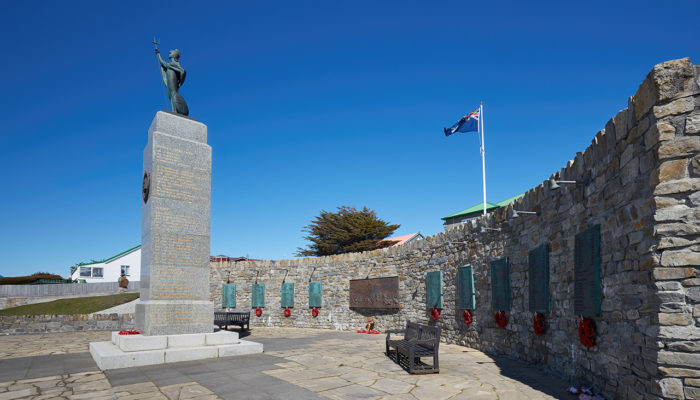
There are a lot of reminders of the Falkland War of 1982 between GB and Argentina, including a liberation memorial and an interesting war museum. Some areas around Stanley still remain marked minefields.
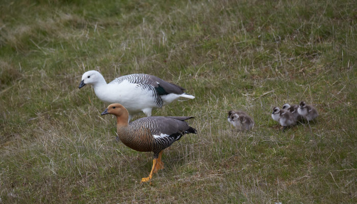
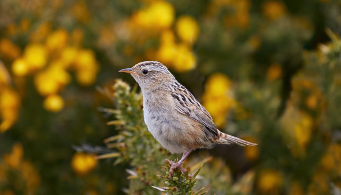
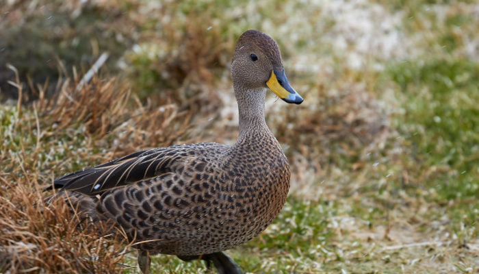
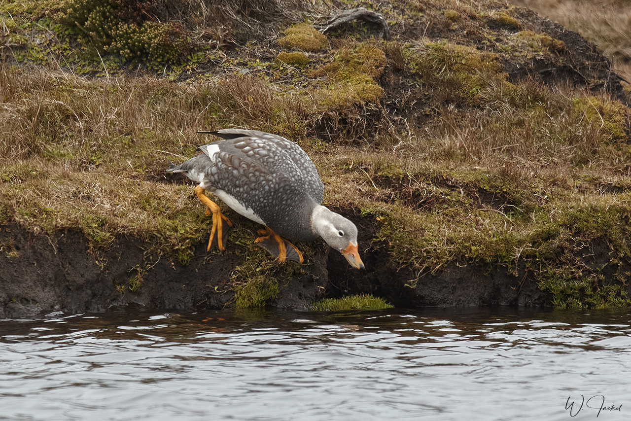
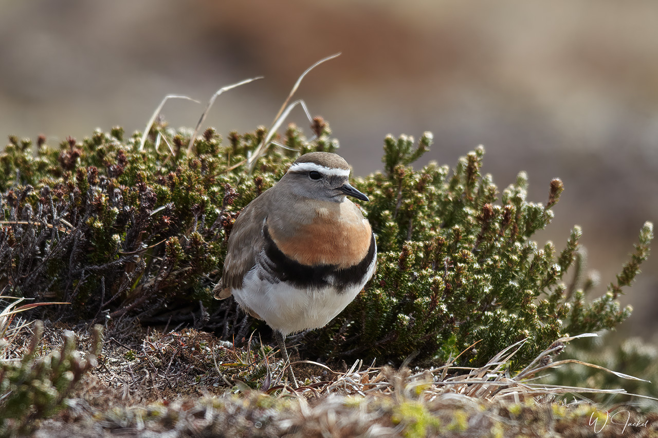
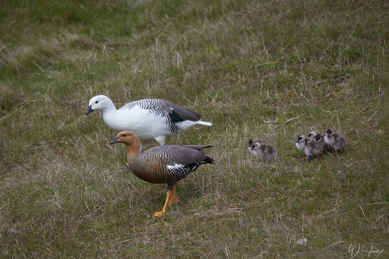
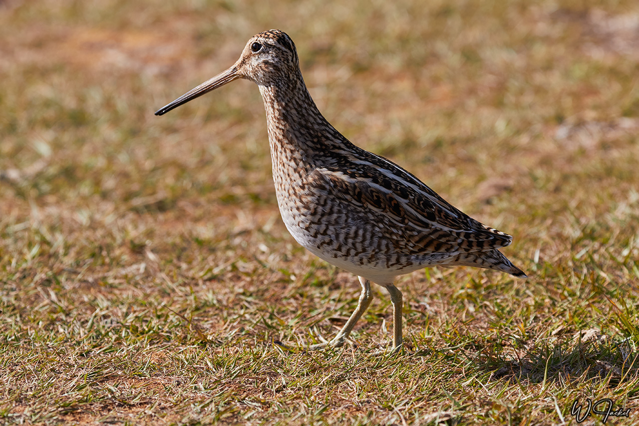
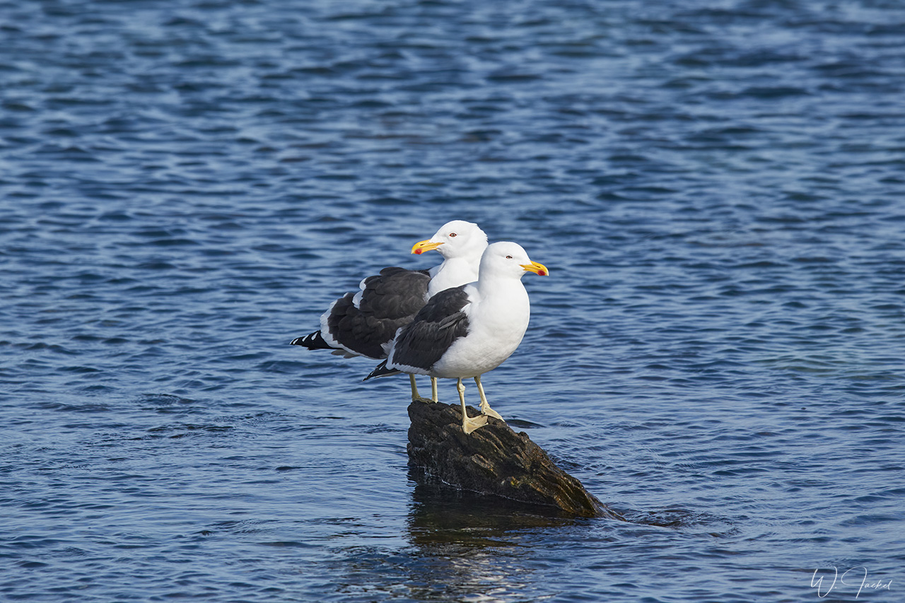
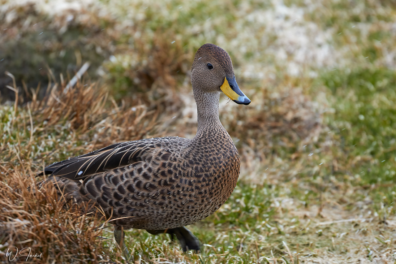
All kind of fauna can be found around town from sea lions and Commerson’s Dolphins in the harbor to Steamer Ducks or Upland Geese. We went on a birdwatching walk in the surroundings of Stanley and could see and photograph a Rufous-chested Dotterel and other birds.
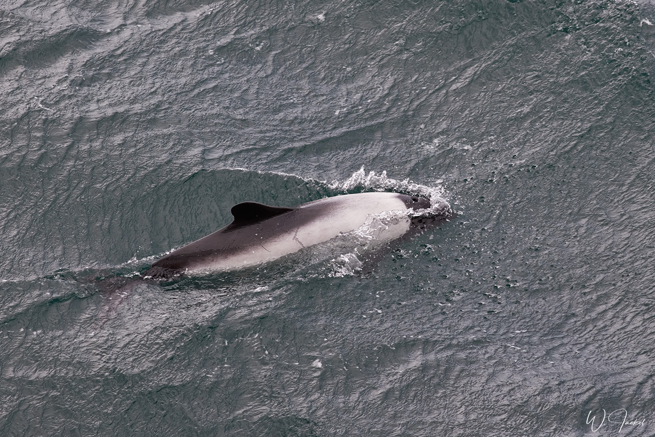
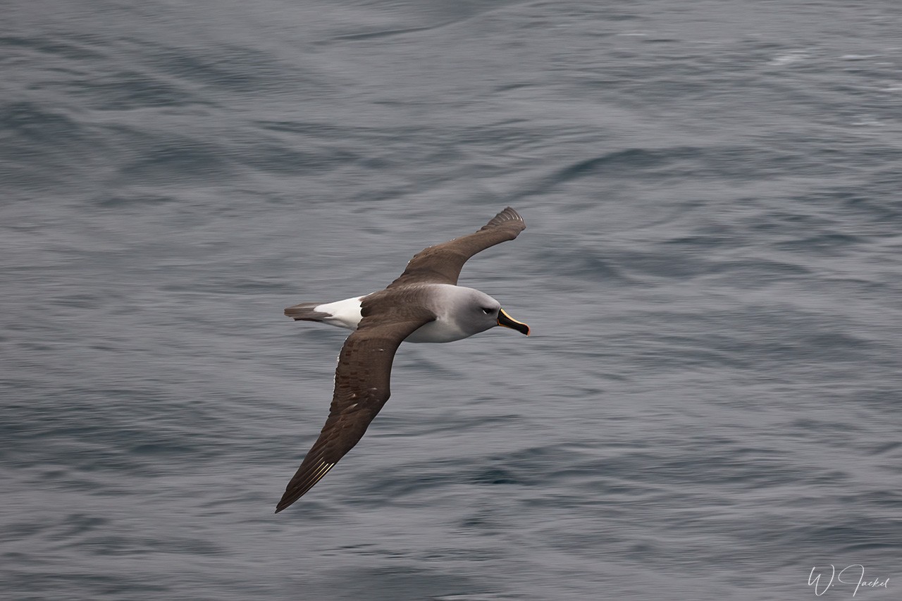
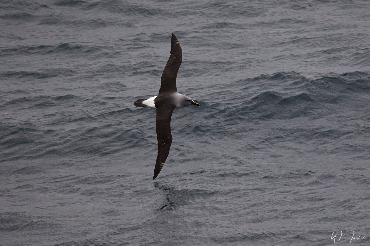
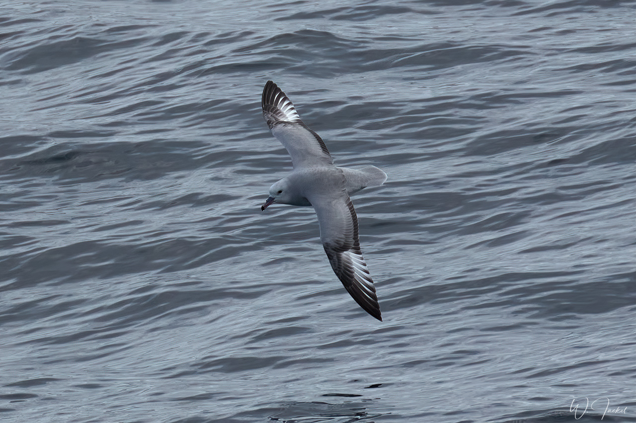
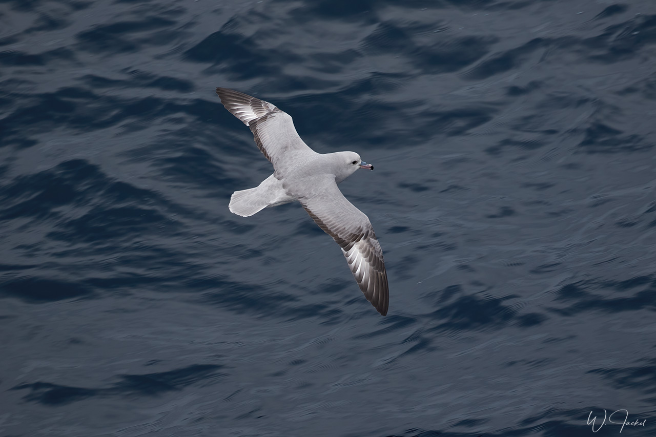
After 3 days in the Falkland archipelago we set sail to South Georgia. It took us 2 days to get there but we were blessed with calm seas. Again, lots of seabirds followed the ship offering good chances to photograph birds in flight. On our way, we passed the interesting “Shag Rocks”, named after the great number of Shag birds that nest on these desolated rocks in the middle of the ocean.
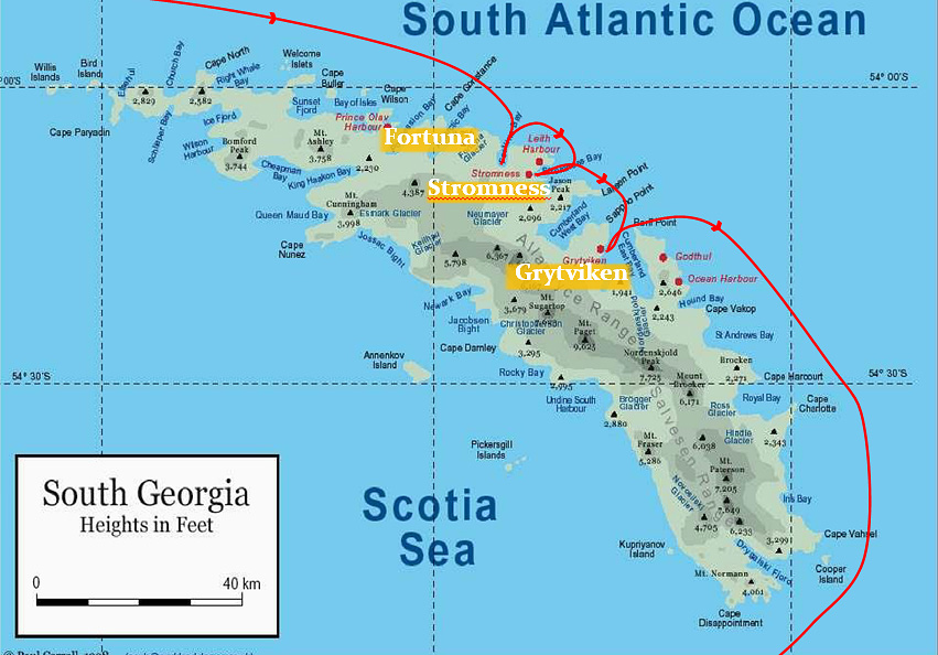
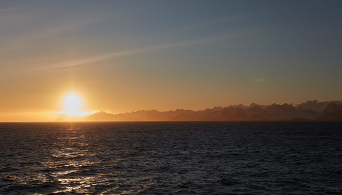
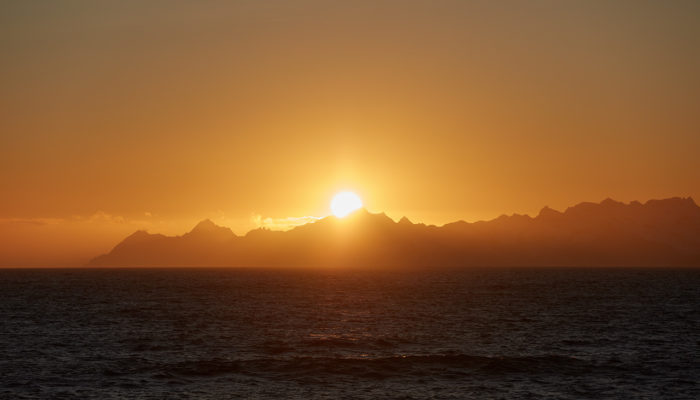
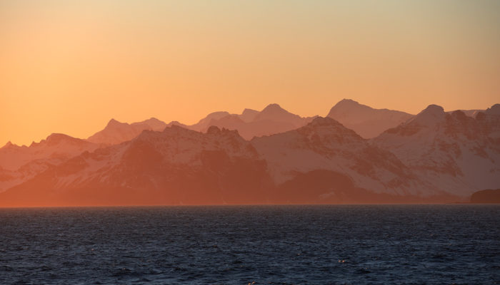
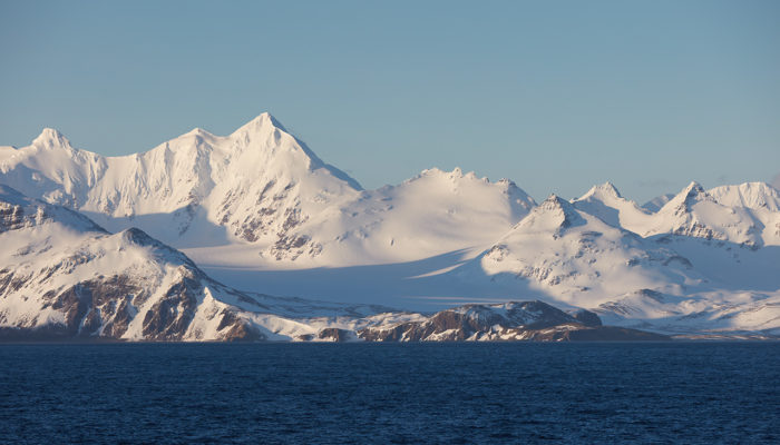
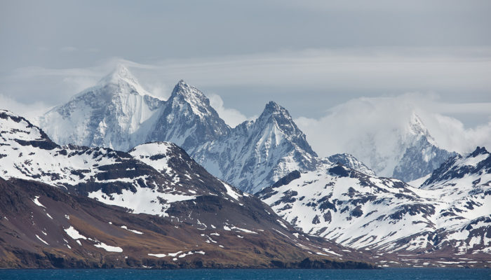
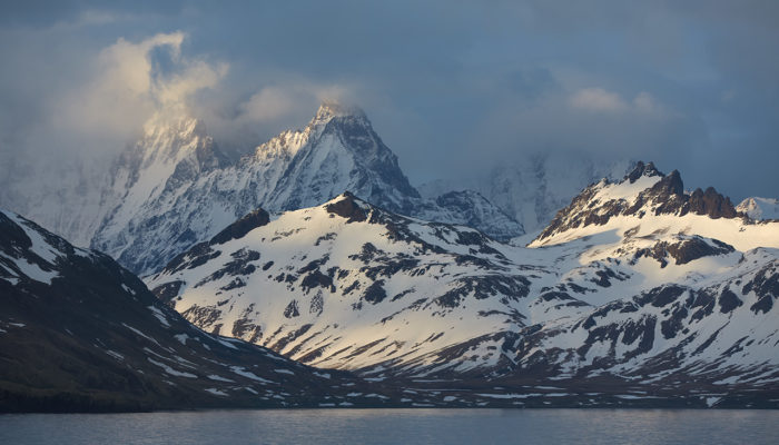
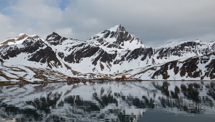
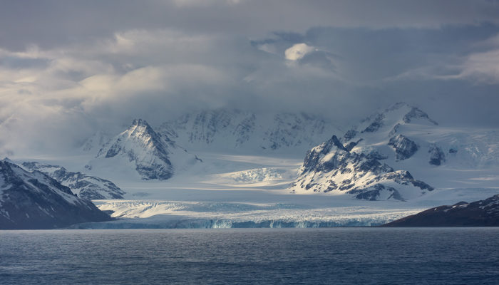
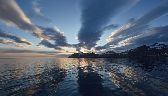
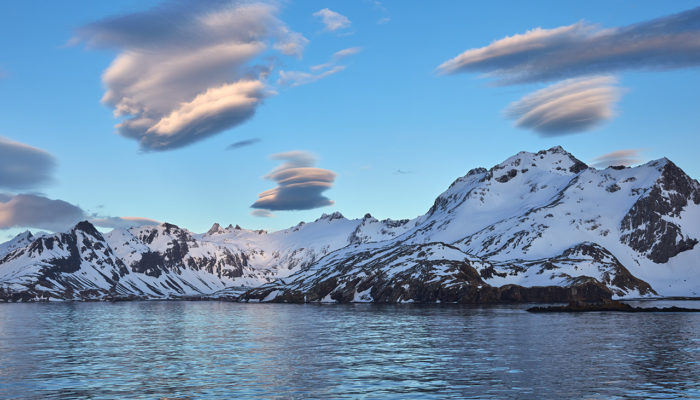
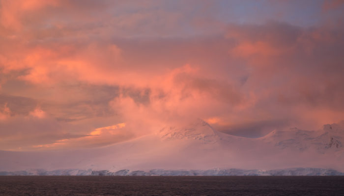
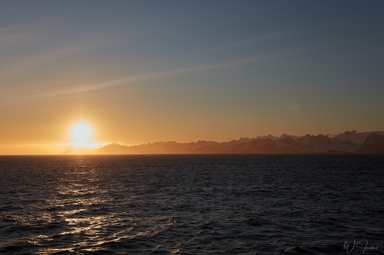
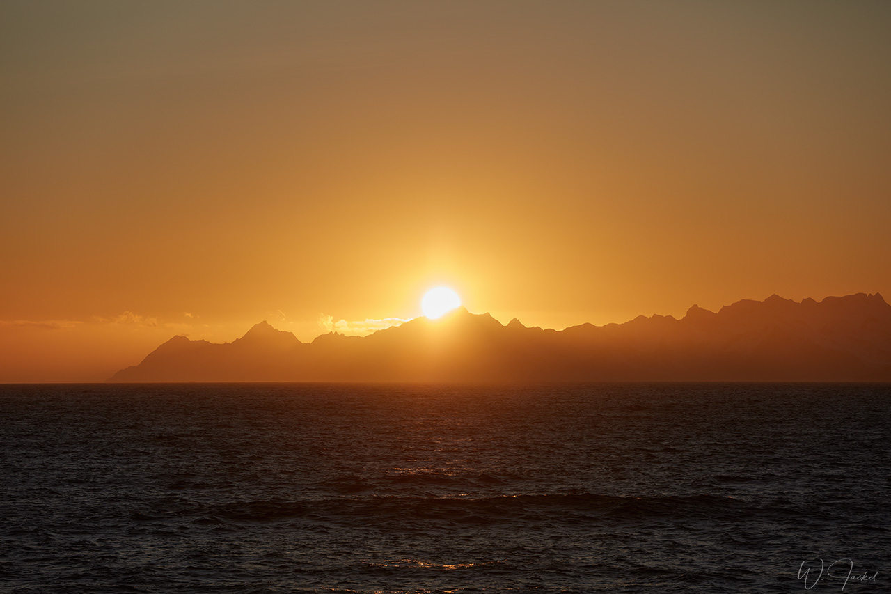
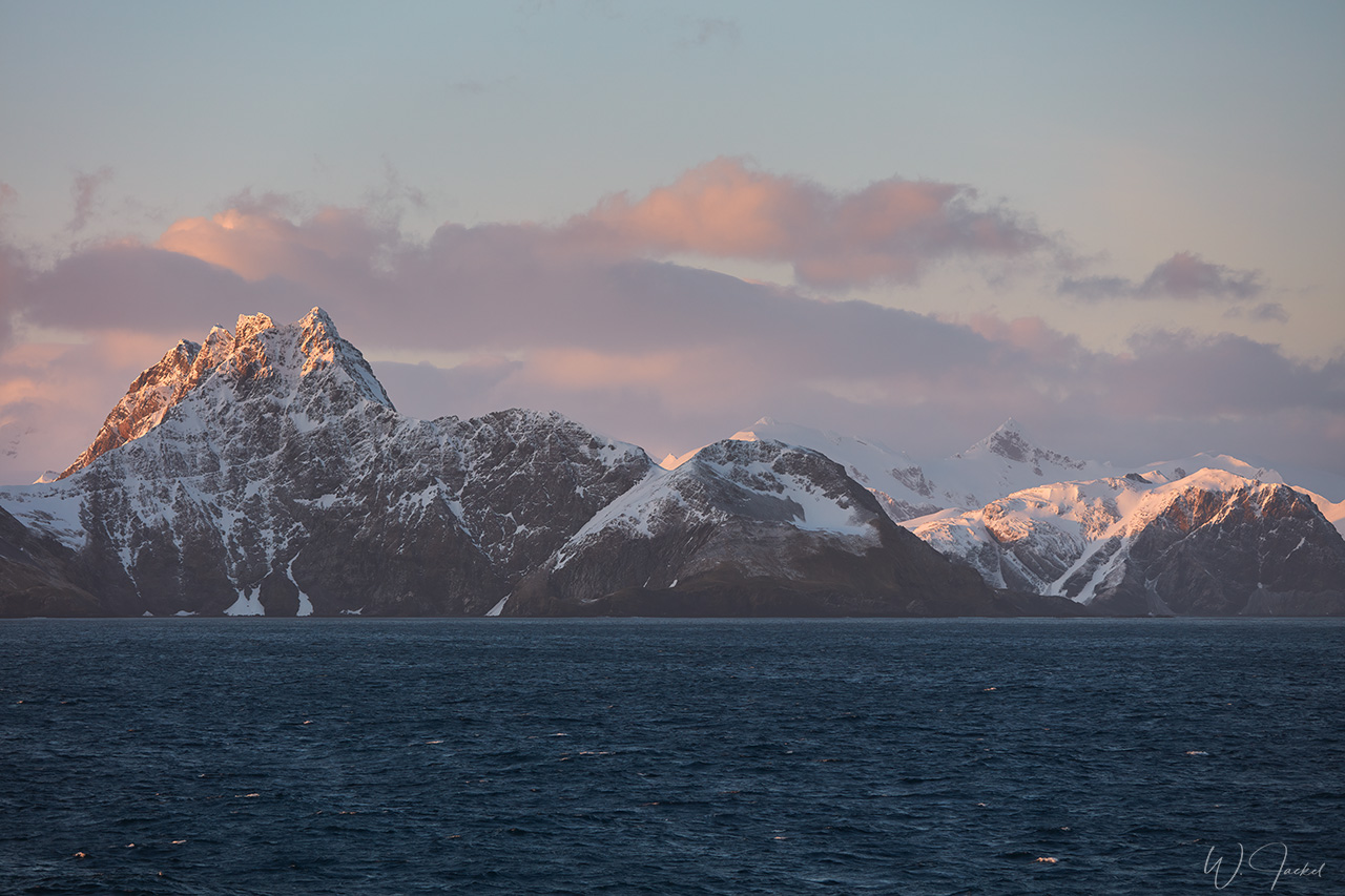
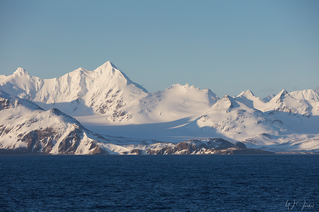
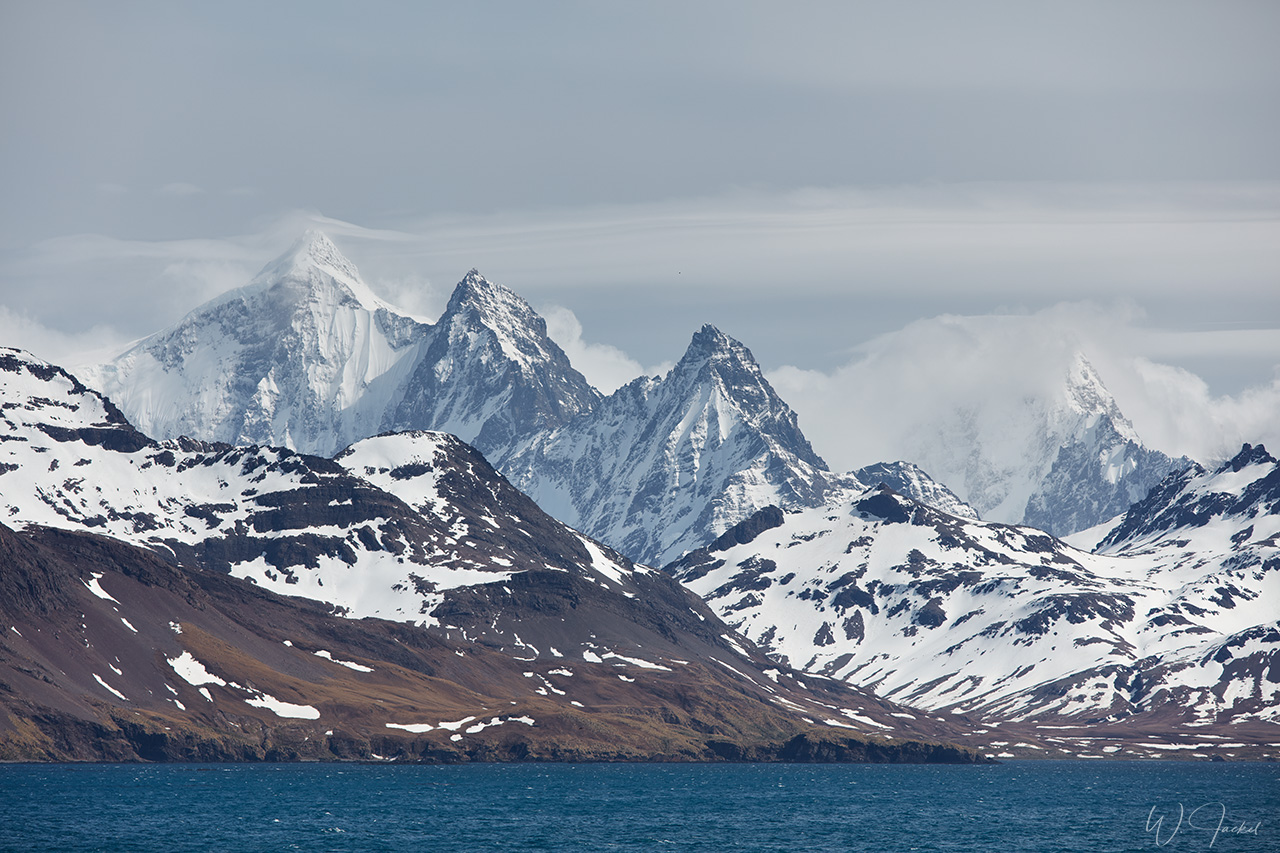
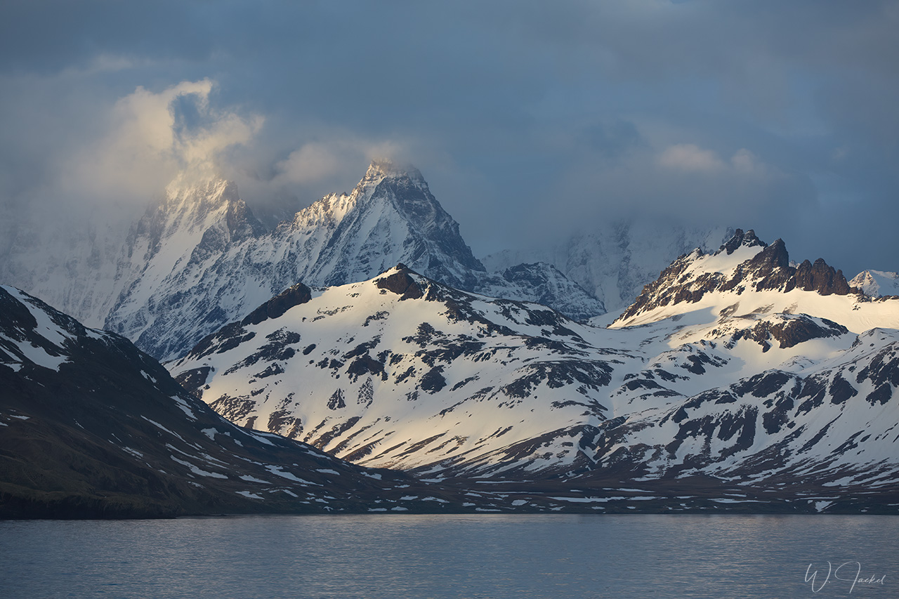
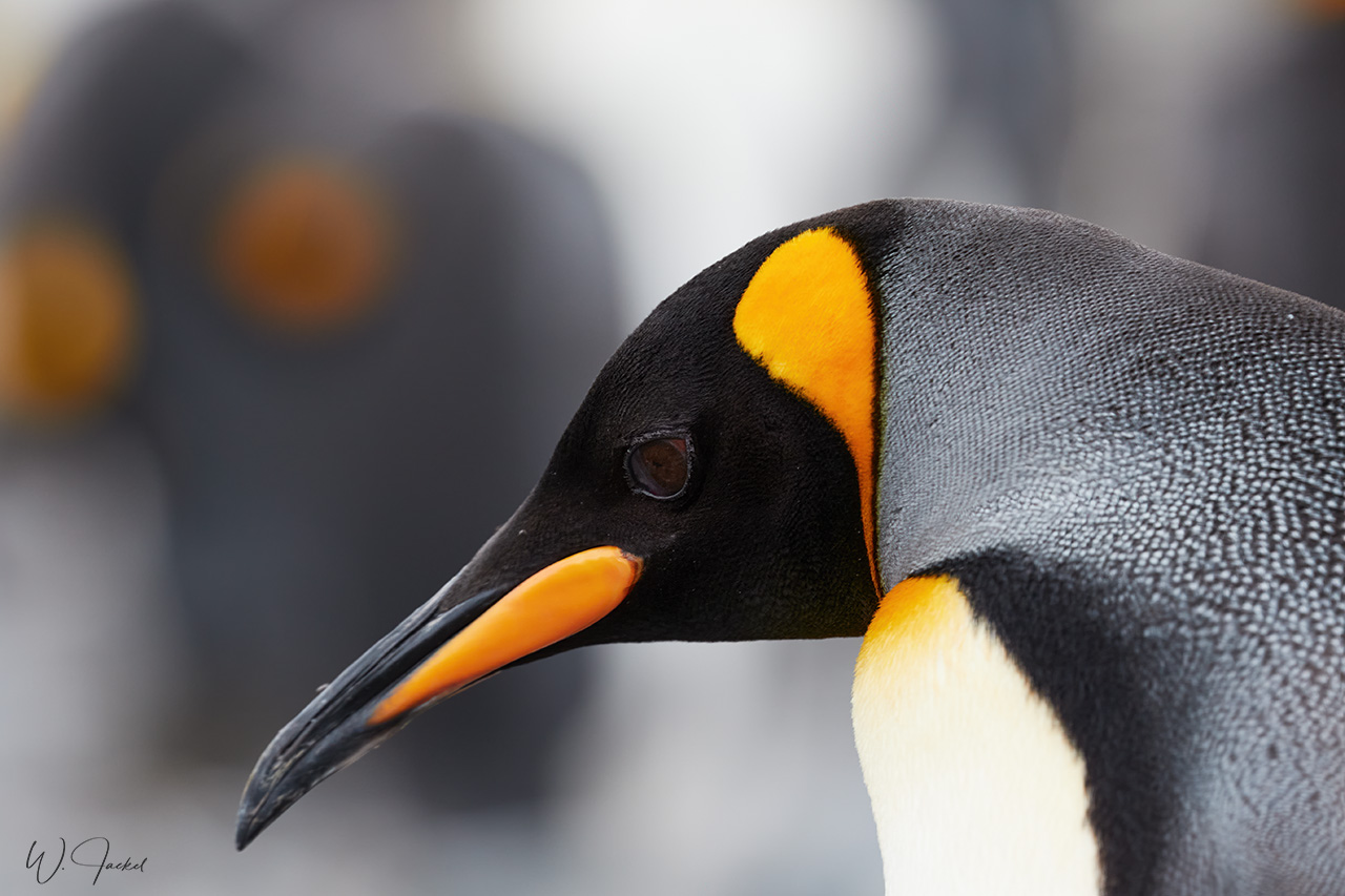
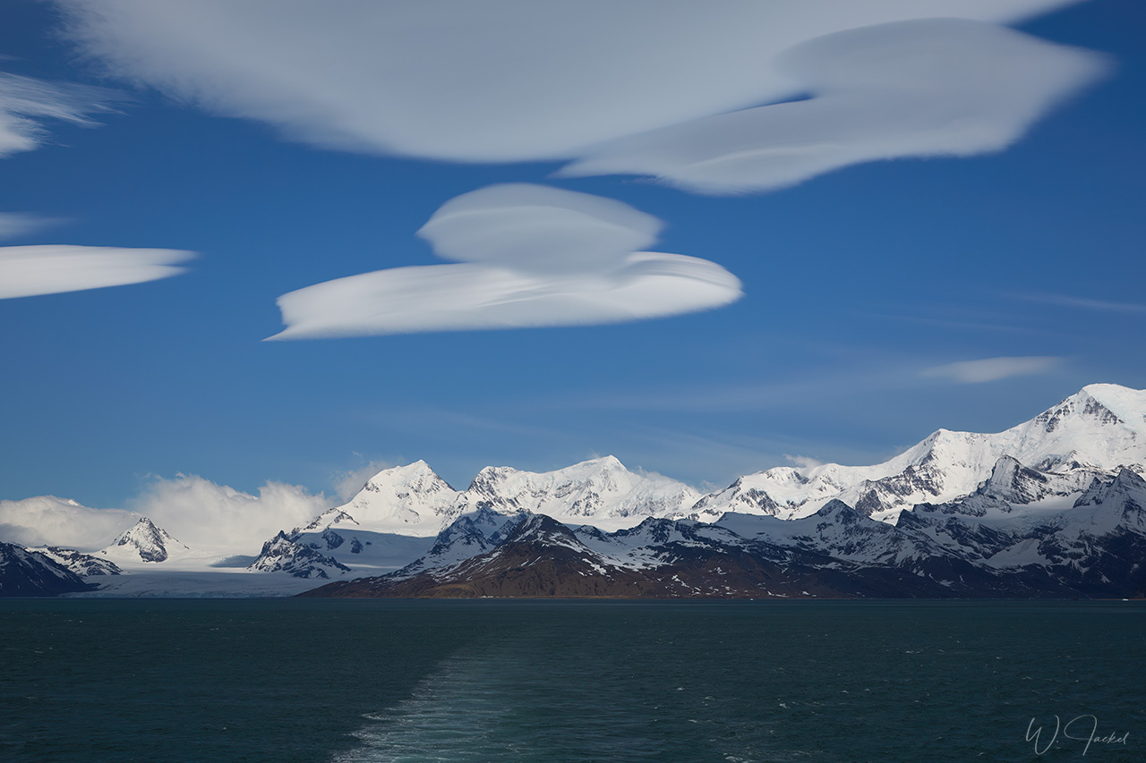
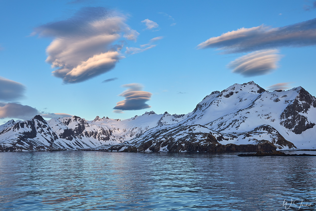
As I know from my first visit, SOUTH GEORGIA is a true jewel and highlight of every trip to Antarctica, both in terms of the mountainous scenery and the exuberant wildlife. South Georgia Island is the most important penguin and seabird breeding area in the world. When we approached the island, I fortunately got up early before 4:30 a.m. to see the sun rise above the sharp mountain peaks, some rising more than 2000 meters above the sea. Since we were still early in the season, practically all mountains were still covered in snow – simply amazing.
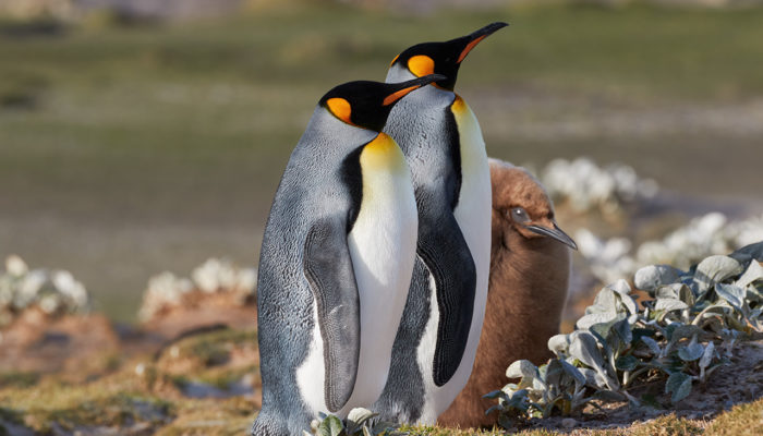
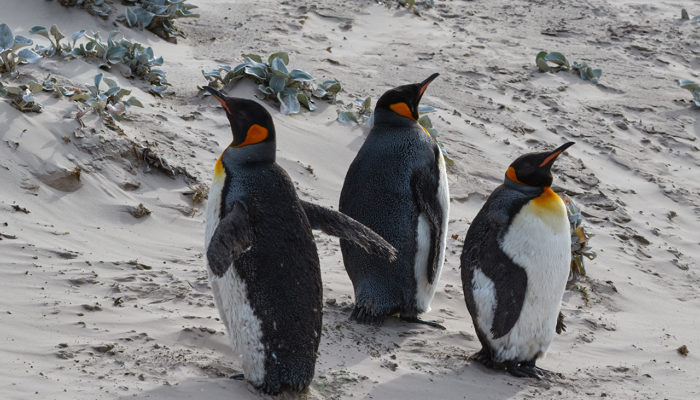
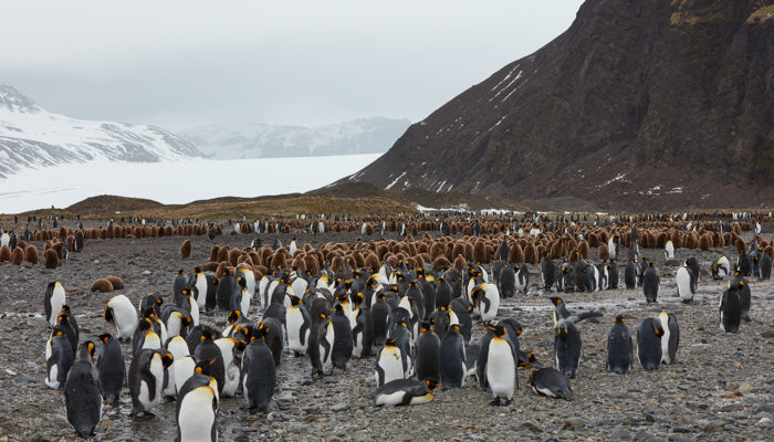
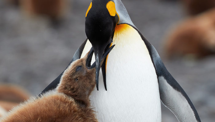
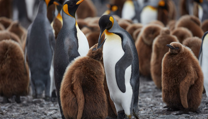
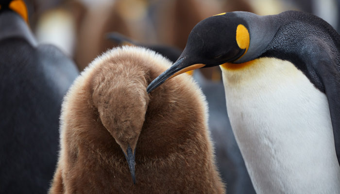
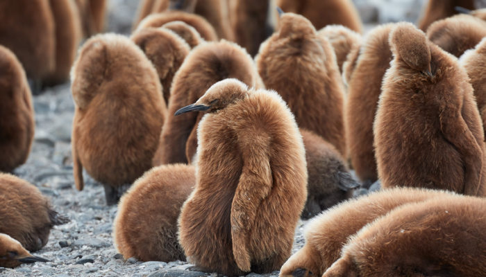
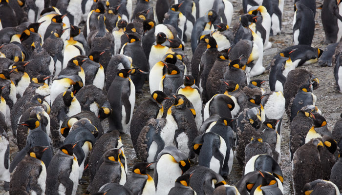
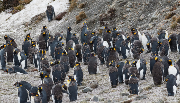
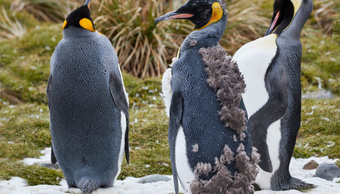
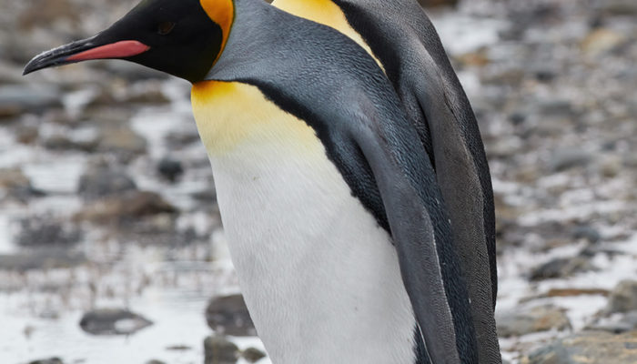
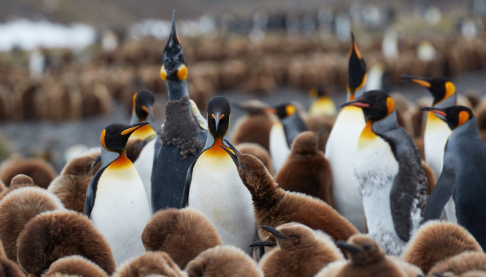
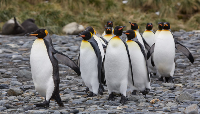
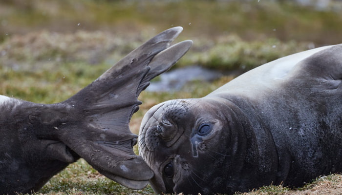
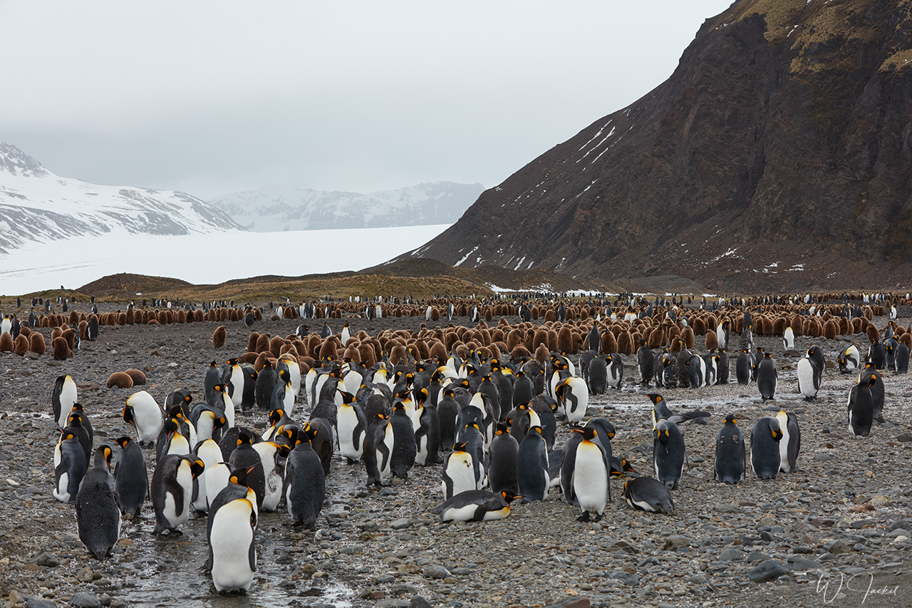
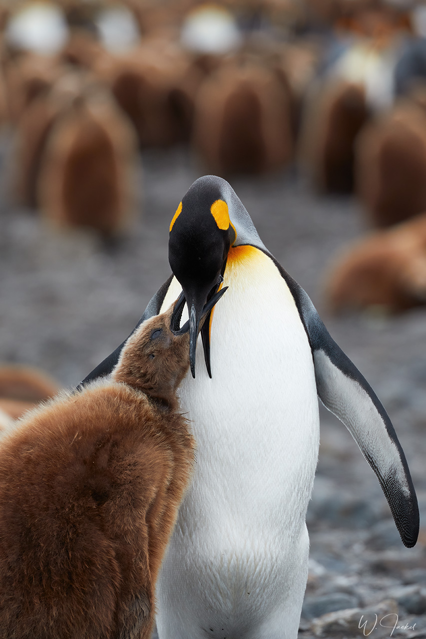
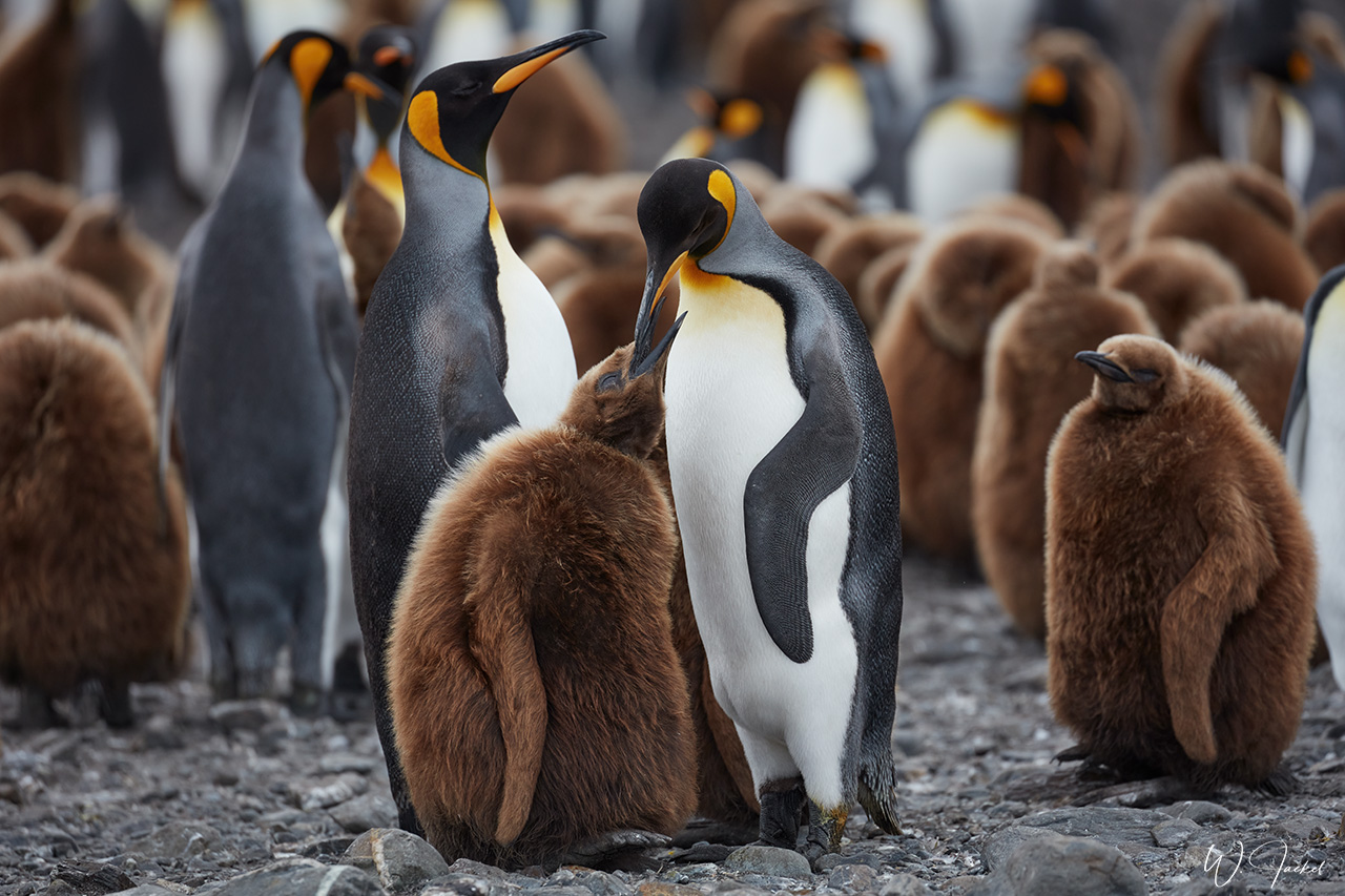
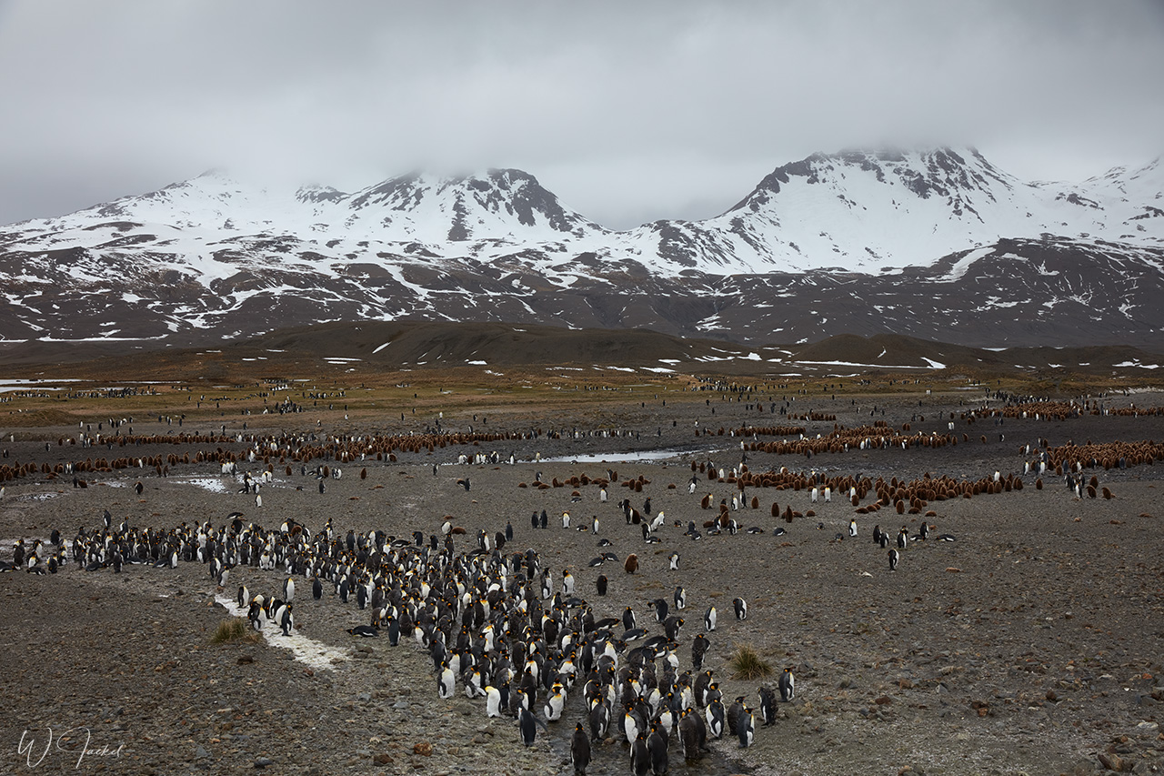
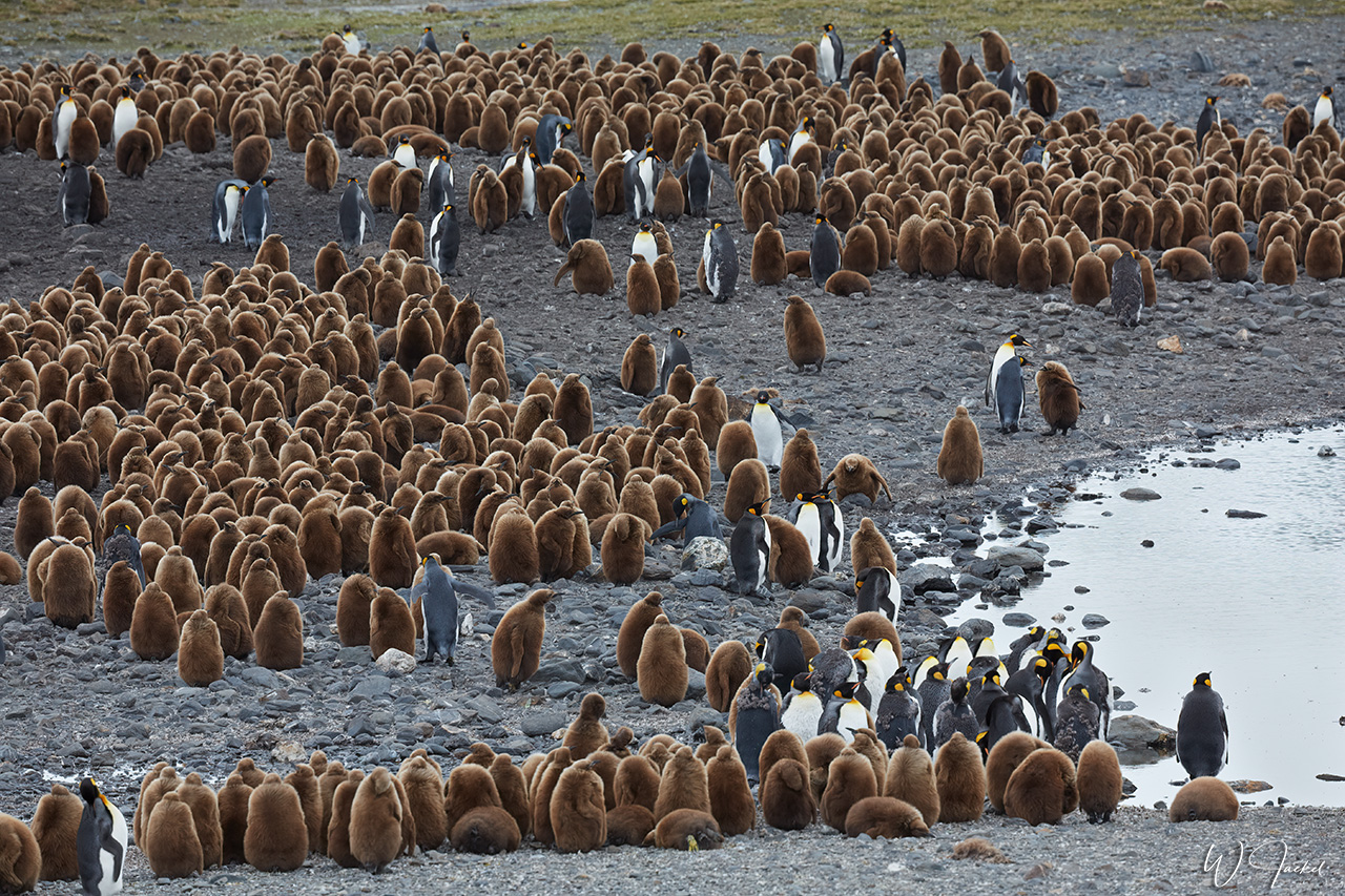
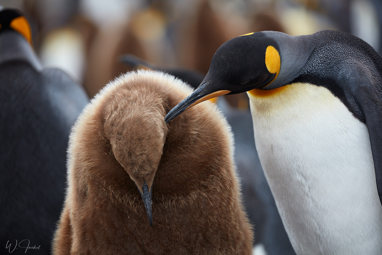
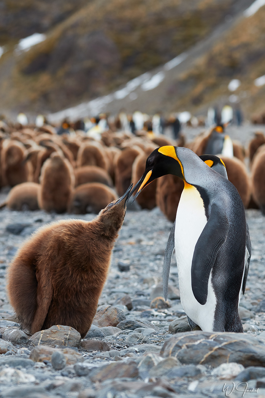
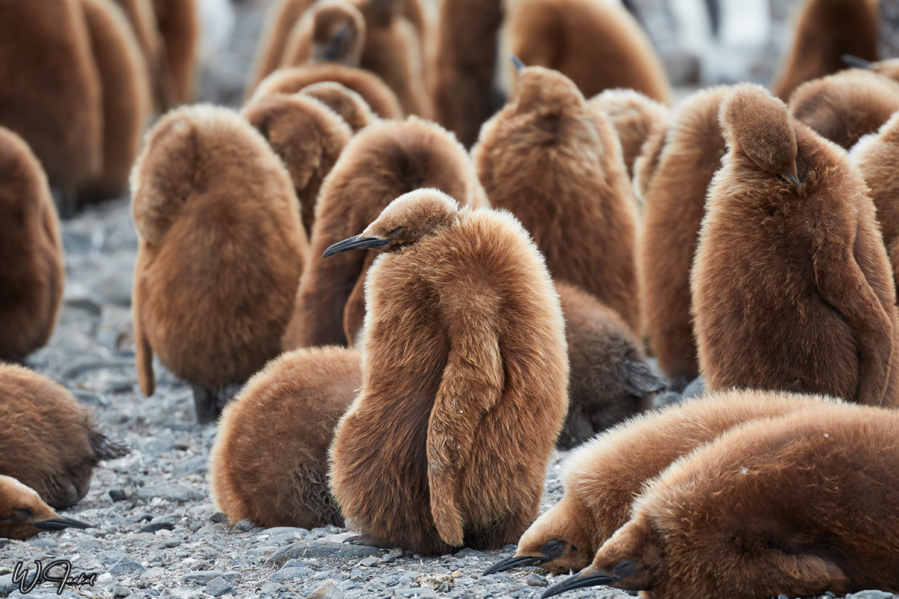
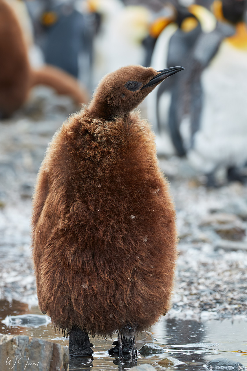
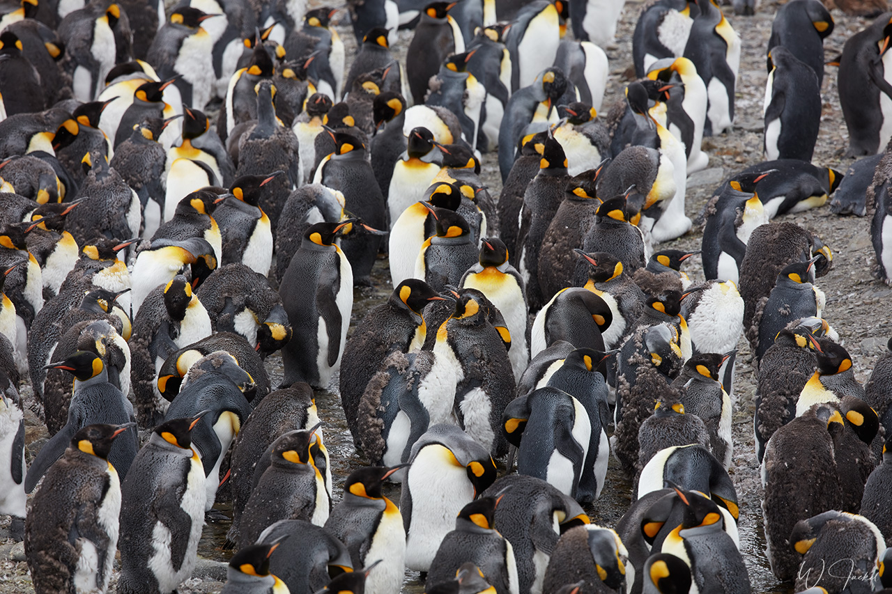
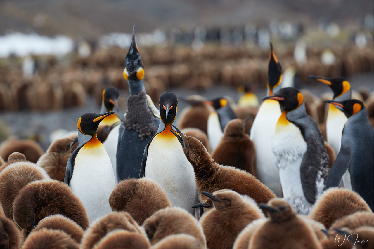
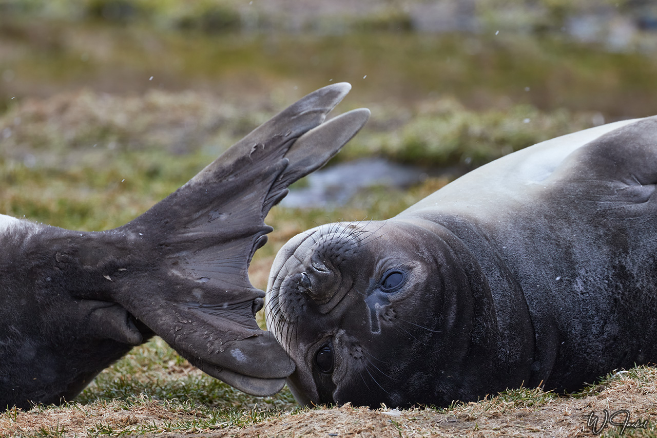
In the early morning, our first landing site was Fortuna Bay, named after one of the first whaling ships in the area. The inaptly named Fortuna ran aground at Hope Point in 1916. The bay is home to King Penguins, Gentoo Penguins, Fur Seals, Elephant Seals and many airworthy birds including albatross and Southern Giant Petrels.The King Penguin colony at Whistle Cove in Fortuna Bay is the most accessible on South Georgia and the main reason for us to land there for an extensive stay. There were a lot of chicks and adult King Penguins, many of them molting at that time of the year. It was an impressive experience to see and photograph the birds though the colony was not as huge as the one at Salisbury Plain I had visited in 2004/2005. But that location was not on the schedule on this voyage. The famous explorer Ernest Shackleton and his stalwart companions also came through Fortuna Bay in 1916 in their slog from one side of South Georgia to the other.
In the realm of the great explorers our next stop was Stromness. The place is home to one of the three deserted whaling stations in Stromness Bay. Access to the buildings still was prohibited due to the hazardous and disintegrating condition of the structures and presence of significant quantities of asbestos. It’s said that recent efforts have been made to remove the debris and restore the place. Nevertheless, it was interesting to see the ruins and get a feeling for the place, also reclaimed from Fur Seals and other wildlife. Stromness was the destination of Sir Ernest Shackleton’s rescue journey in 1916. Some fellow travelers had signed up for the Shackleton hike and followed the famous English polar explorer’s footsteps from Fortuna Bay to the former whaling station of Stromness while the ship with other passengers including us sailed from Fortuna Bay to here. It was from the nearby station of Husvik that the entire staff volunteered to rescue Shakleton’s 22 men stranded on Elephant Island.
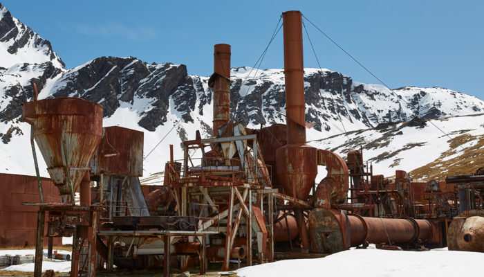
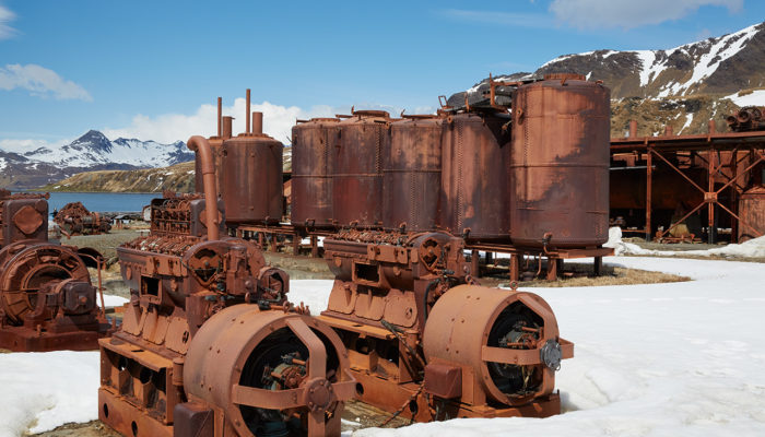
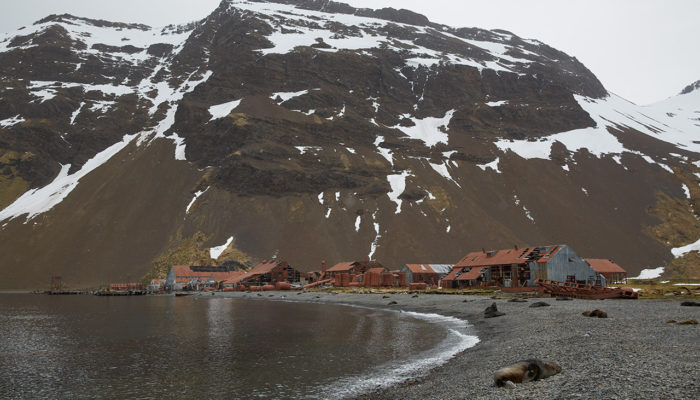
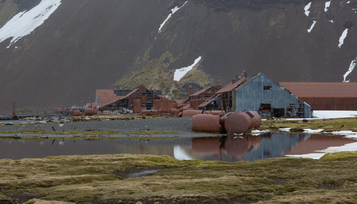
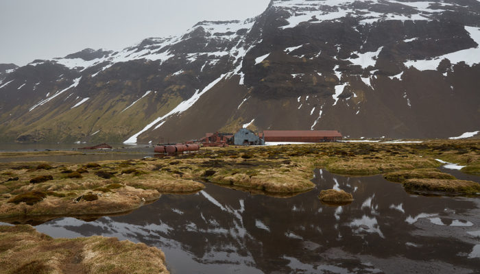
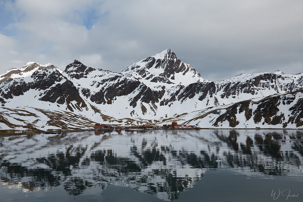
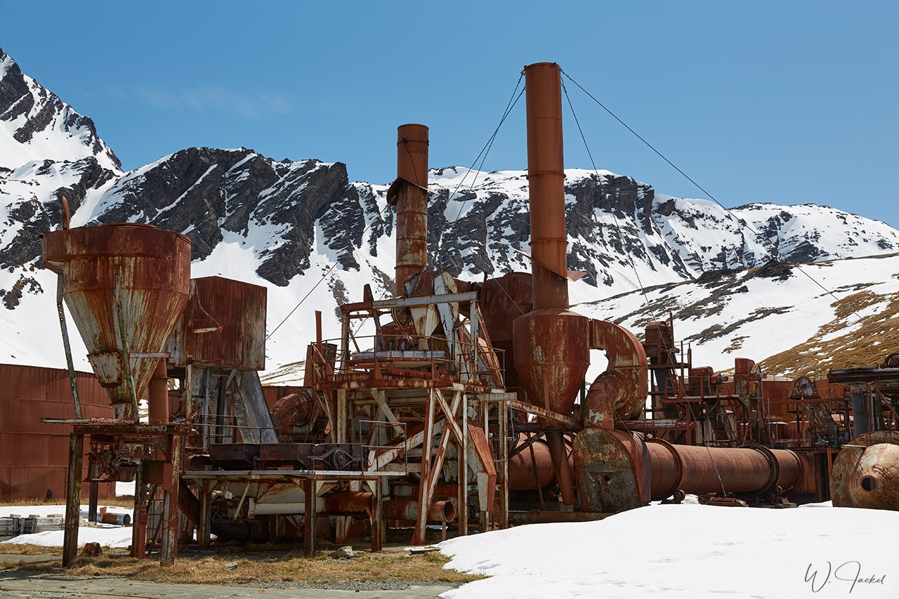
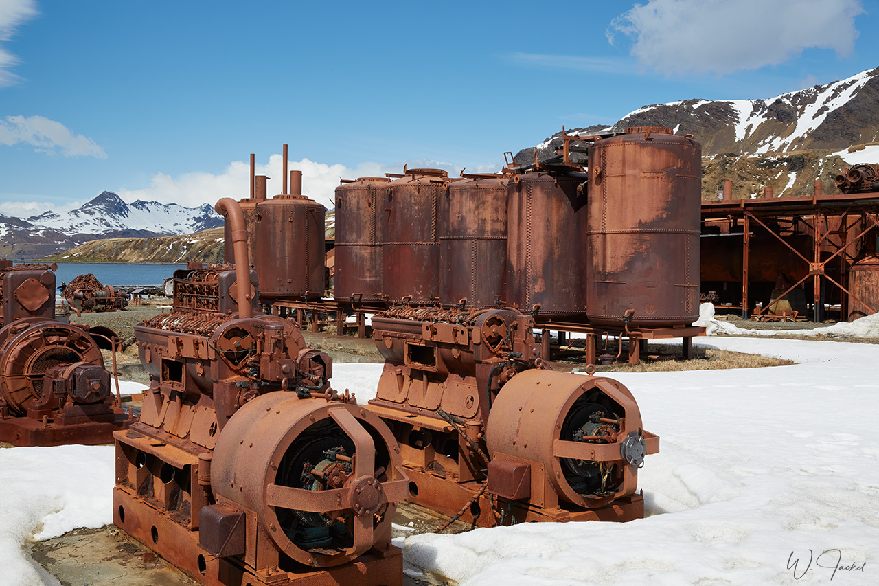
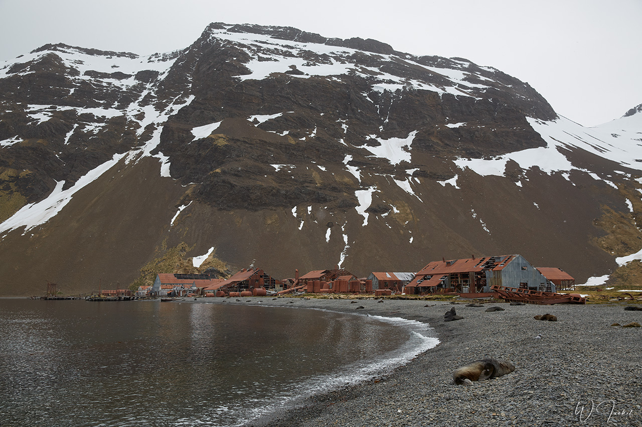
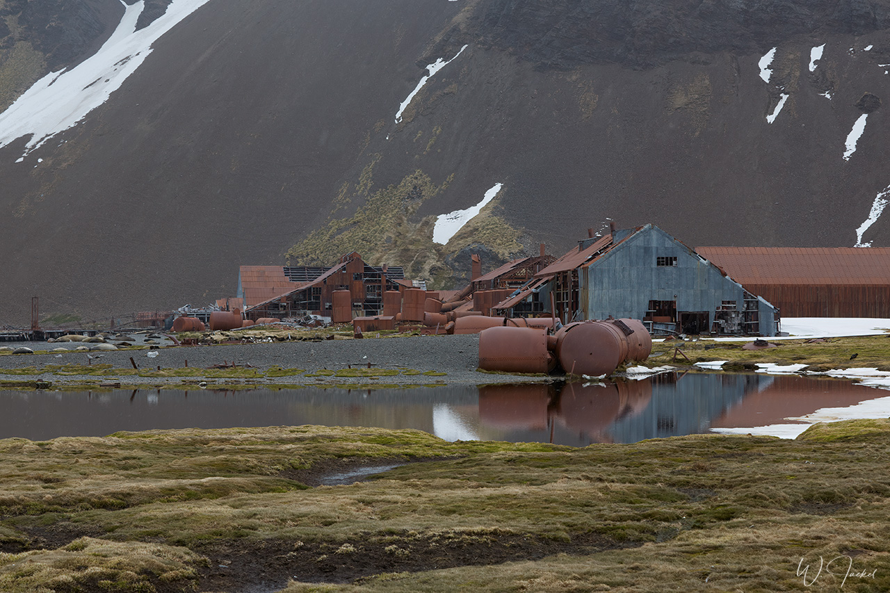
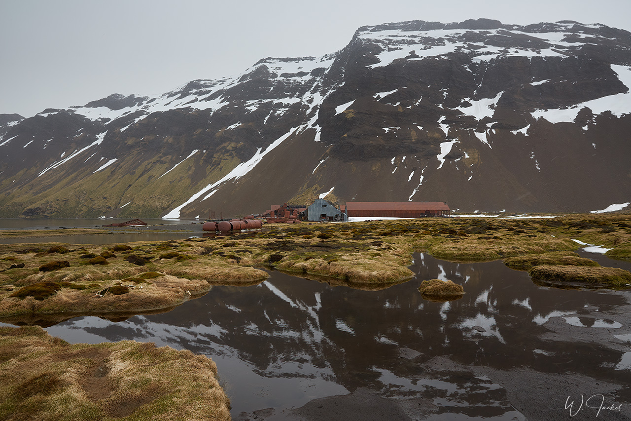
Last stop on South Georgia was Grytviken. Founded in 1904 and located on the north coast of the island, too, the site is probably one of the most popular and known destinations of Antarctica travels. It was the first whaling station in Antarctic waters and the largest one on South Georgia as part of the British Overseas Territories. While whalers killed 183 whales in the initial year, the station handled 54.100 slaughtered whales in more than half a century, producing 455.000 metric tons of whale oil and 192000 metric tons of whale meat. They were able to process 25 whales per day. Probably the largest whale ever recorded was taken at South Georgia, too. It was a Blue Whale processed at Grytviken in about 1912, with a length of 33,58 meters. Between 1904 and 1965 some 175.250 whales were processed at South Georgia’s 7 shore stations altogether. In the whole of the Antarctica region 1.432.862 animals were taken between 1904 and 1978. 5000 seals per year were slaughtered just for the factory in Grytviken. For 58 years, Grytviken was in continuous operation and closed in 1965. Due to overhunting, whales and seals around South Georgia and South Sandwich Islands had drastically declined to the point of complete disappearance and extinction by the mid1960s so that whaling und hunting became unviable.
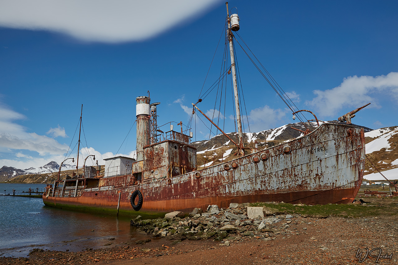
The remaining buildings, factory equipment, and ships including the photogenic steam-powered whale-catcher “Petrel” (built in 1928) at Grytviken stand as a historic reminder of South Georgia’s whaling industry. The whaling station has been extensively cleaned to remove hazardous materials, such as asbestos, heavy oils and rotten building fabric. So visitors can now walk over the site and view the exposed rusty machinery and derelicted whaling ships.
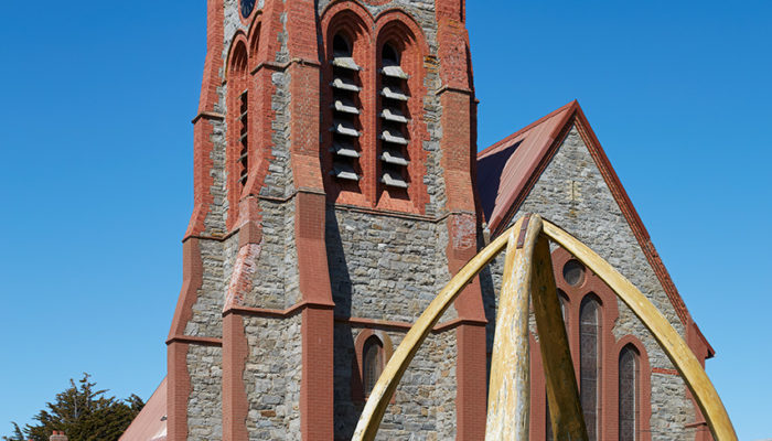
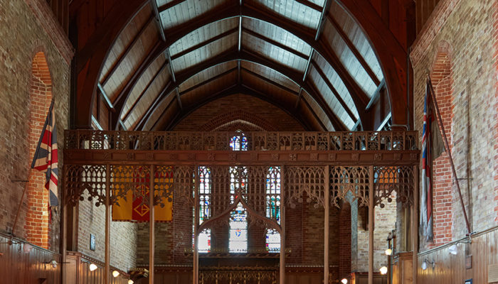
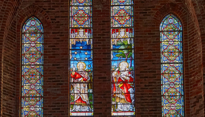
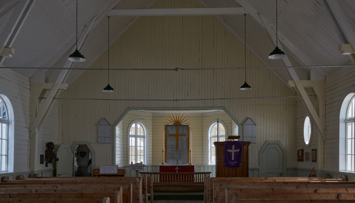
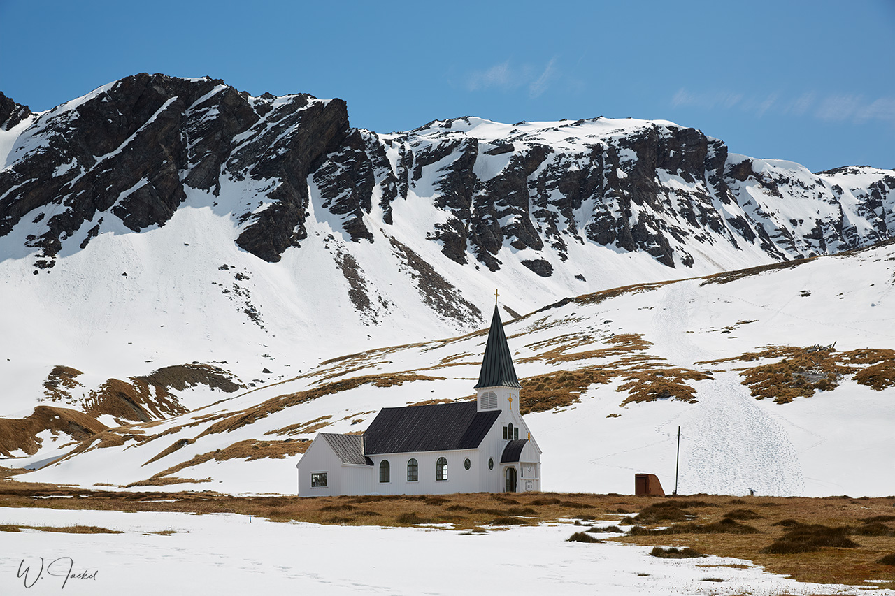
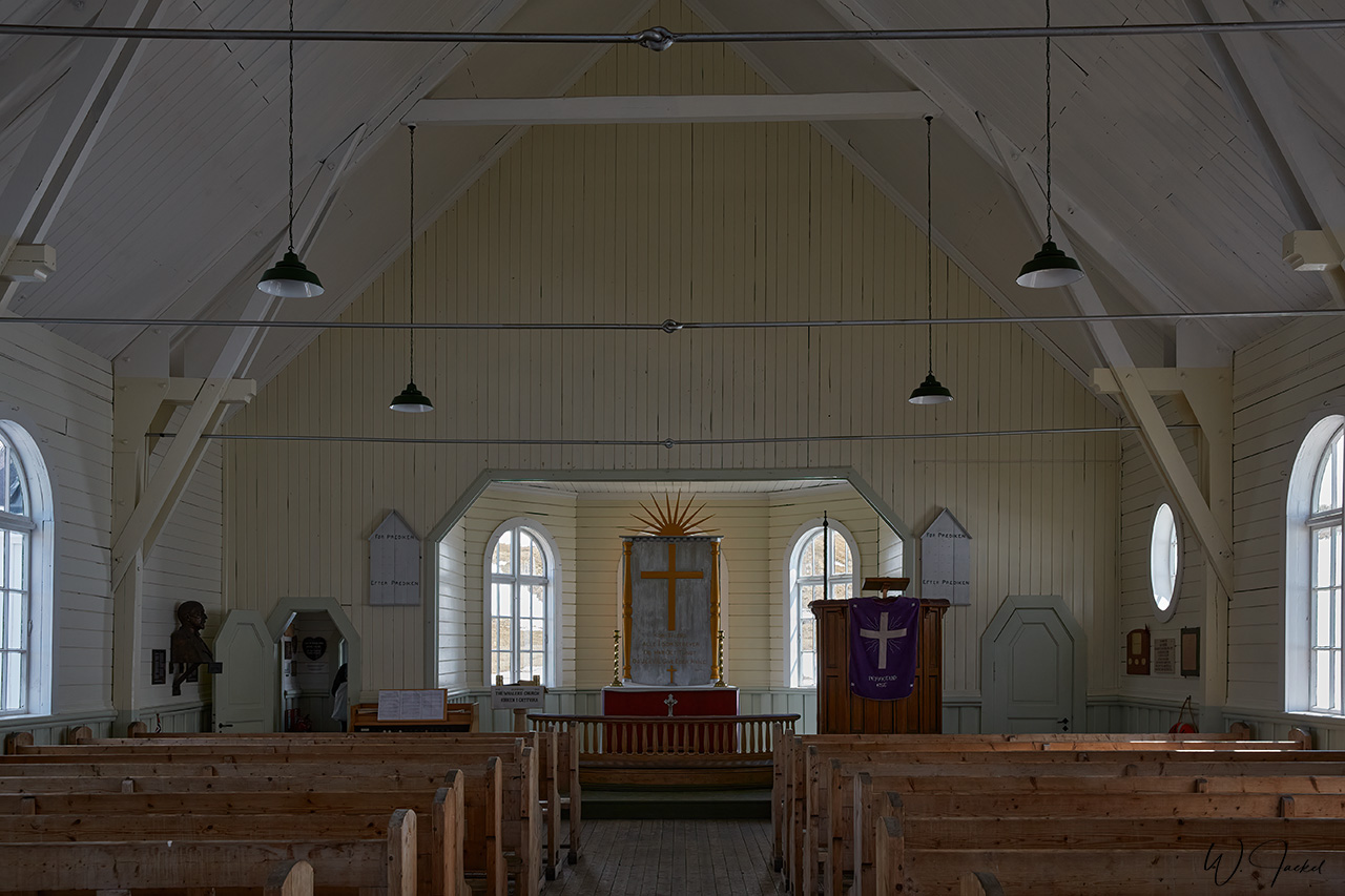
The distant Norwegian Anglican church, built in 1913 and also known as Whaler’s Church is the only building which retains its original purpose; it is still used occasionally for Christmas services, baptisms, weddings, and funerals.
We also visited the South Georgia Whaling Museum close by that has a rich and informative display of whaling, sealing, exploring, and natural histories of the whole island.While there are no longer permanent residents, the official population of Grytviken is indicated to be 8 people, but this grows to around 30 people in the summer, and fluctuates depending on the need for more personnel there.
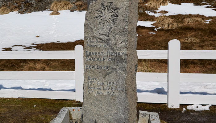
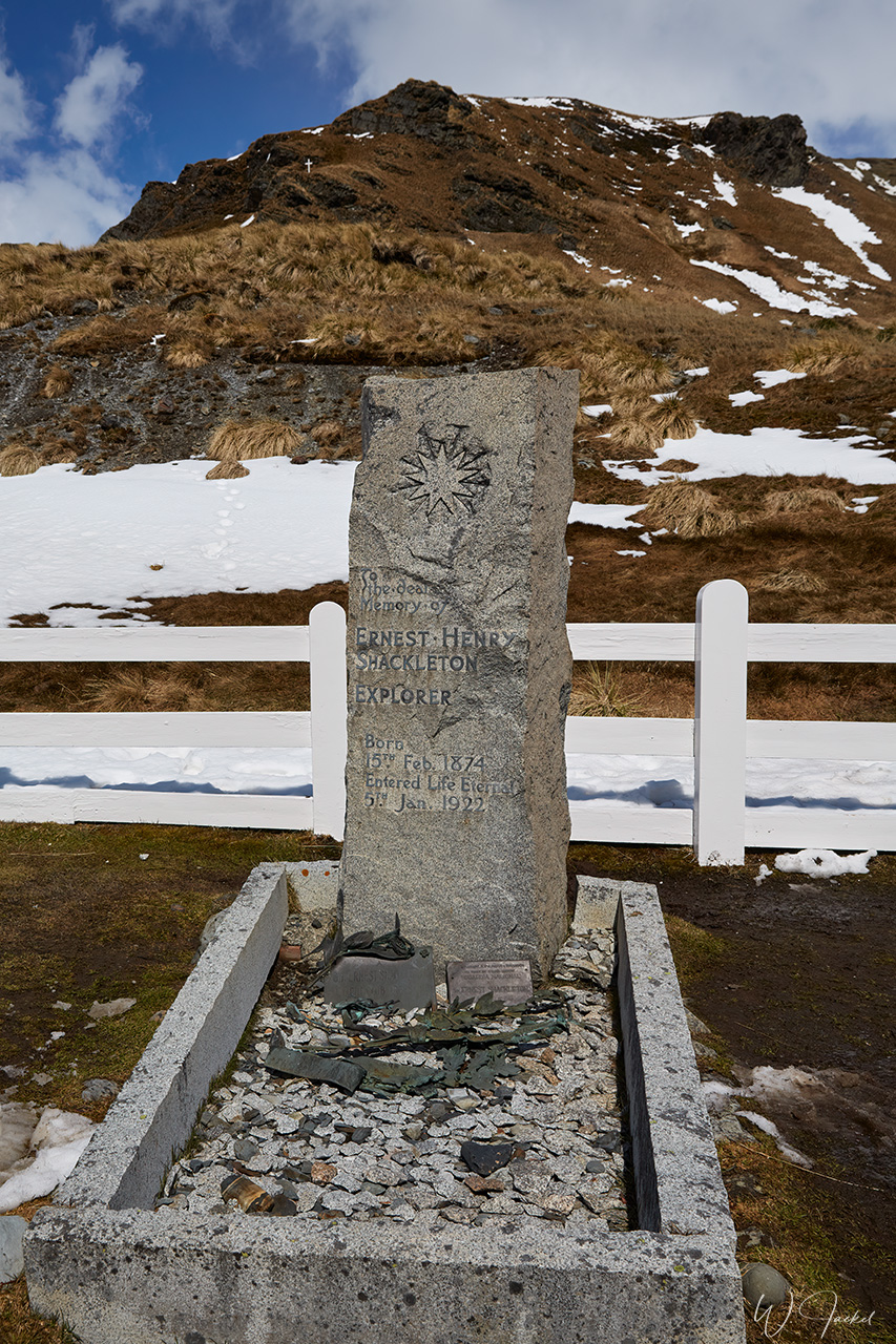
Another main attraction and memorable place is Sir Ernest Shackleton’s Grave in the Grytviken Cemetery, marked with a granite headstone and placed alongside those of whalers who had died on the island. Grytviken is closely associated with the famous explorer of the so-called Heroic Age. He had returned on his fourth, and ultimately final, Antarctic expedition.Not long after his ship “Quest” was anchored at Grytviken before leaving for Antarctica, Shackleton died on January 5th 1922 at the age of 48 because of a fatal heart attack after he had unspecific pain on several days before. His wife wanted him to be buried on South Georgia. So Shackleton’s body was returned to Grytviken after he had been transferred to Montevideo, while the Quest had continued to Antarctica under the guidance of Frank Wild. Shackleton’s body was laid to rest in the cemetery on March 5, 1922.
On November 27, 2011, the ashes of Frank Wild (1873–1939), Shackleton’s “right-hand man,” were interred on the right side of Shackleton’s grave-site after the ashes were discovered in the vault of the cemetery in Johannesburg. Wild was emigrated to South Africa in 1923.
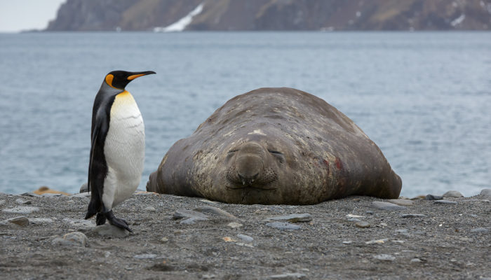
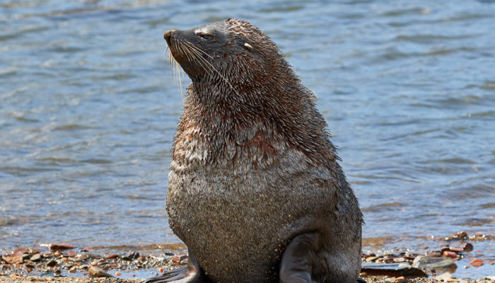
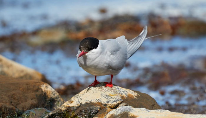
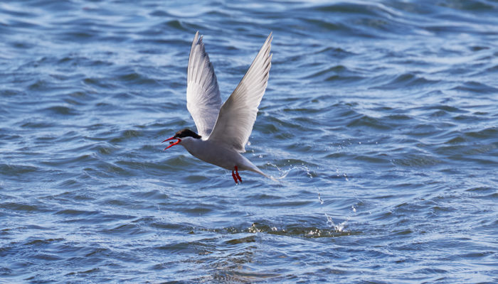
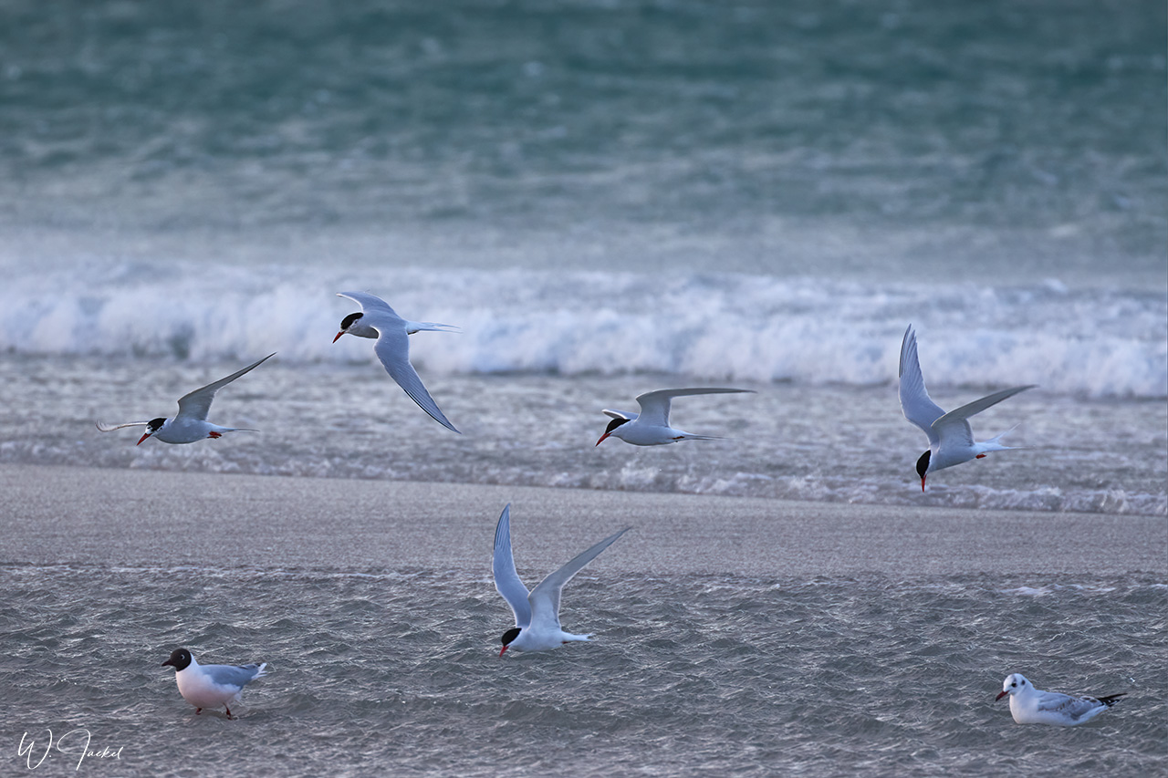
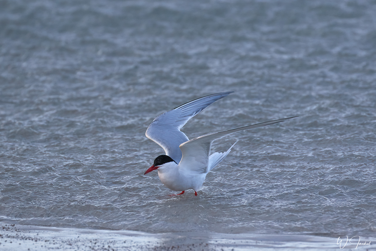
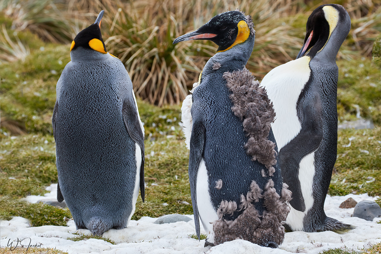
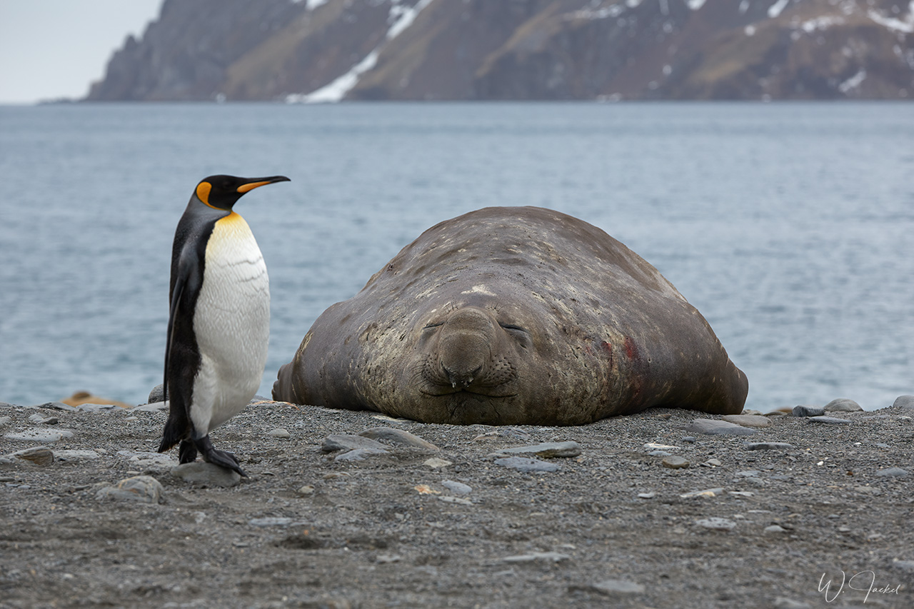
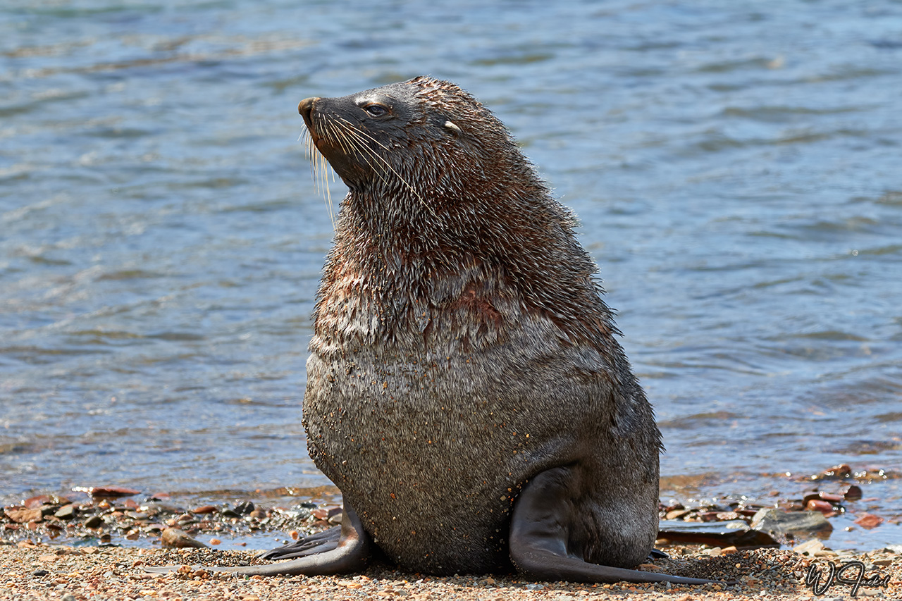
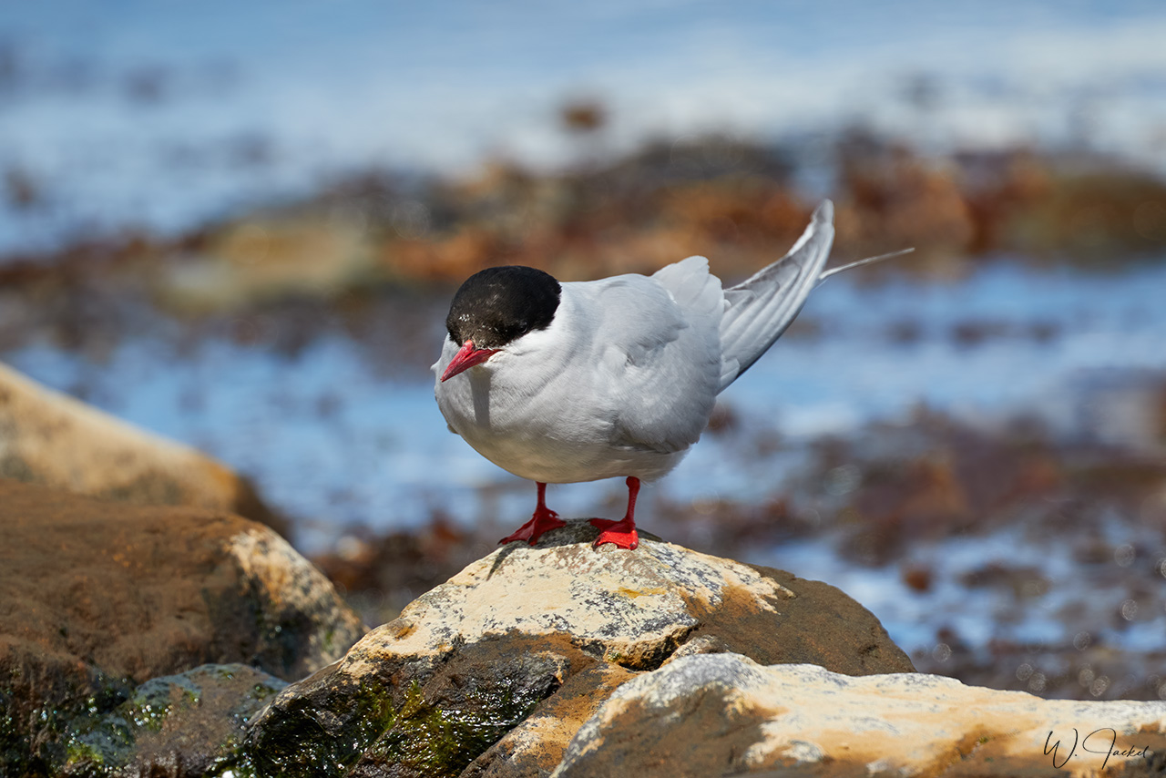
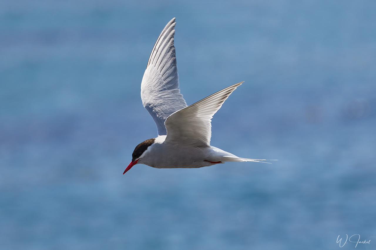
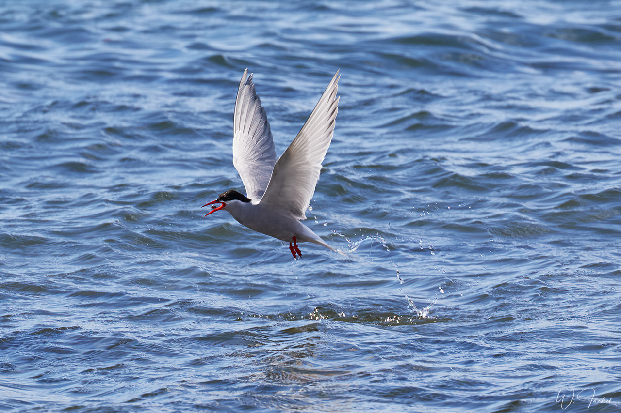
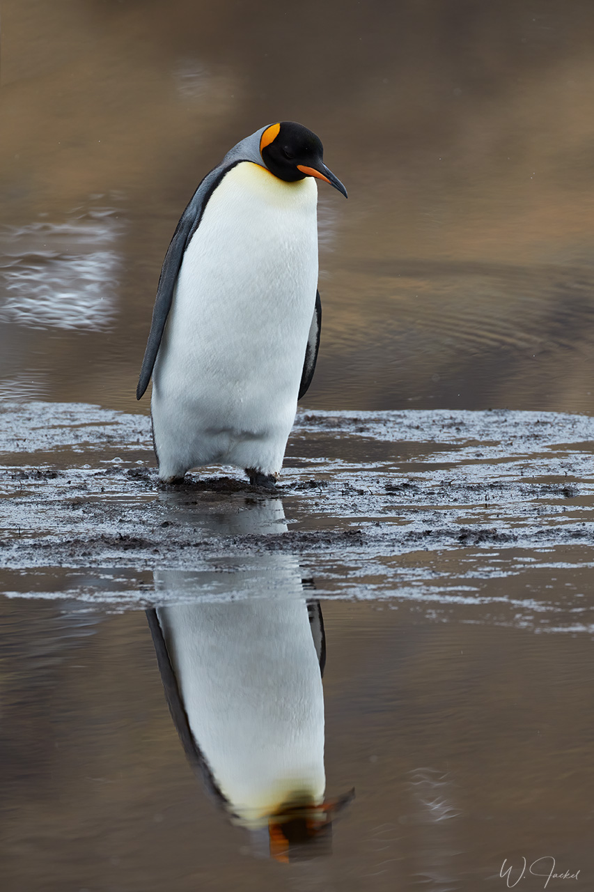
Between the remains of the whaling station and along the bay of Grytviken, which is surrounded by scenic mountain peaks, we could also watch and photograph some animals, such as Fur Seals and Elephant Seals as well as Antarctic Terns, Skuas and some King Penguins. While it was encouraging to watch wildlife reclaiming their territory again and knowing about the present protection of the animals from being hunted, we were also faced with some sad evidence of the ten thousands of whales that were slaughtered here because we could see several whale bones on the beach and in the water reminding us that the shores once were covered with numerous carcasses and remains.
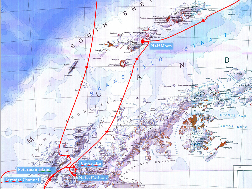
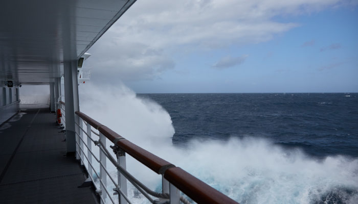
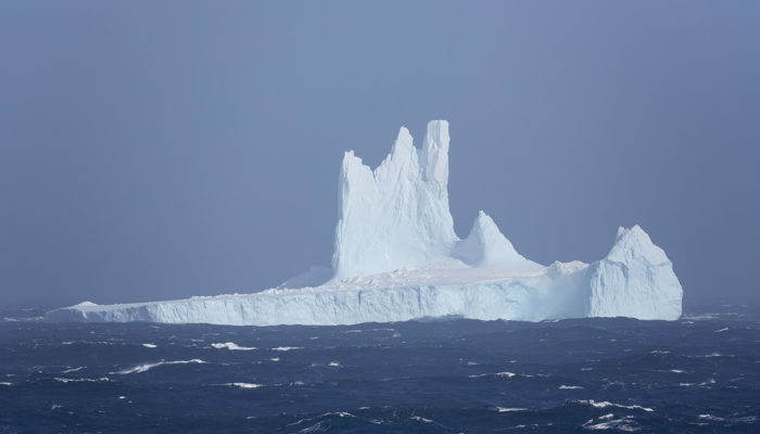
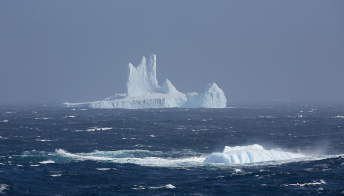
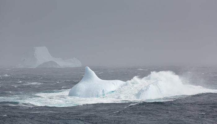
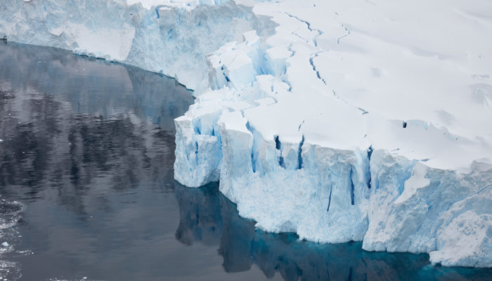
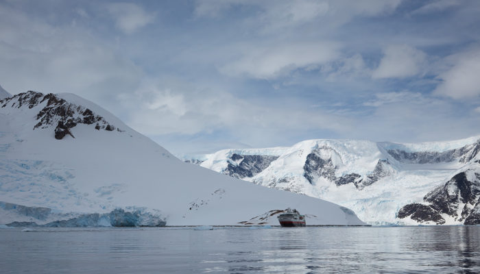
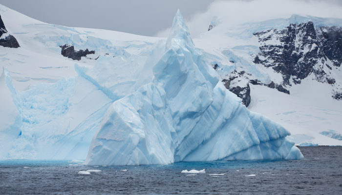
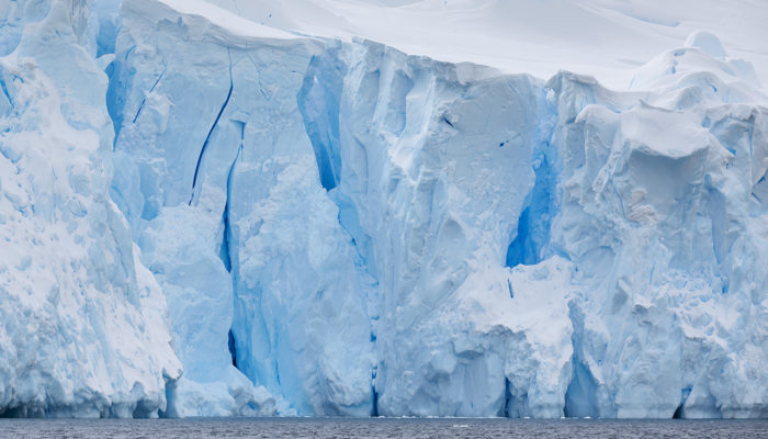
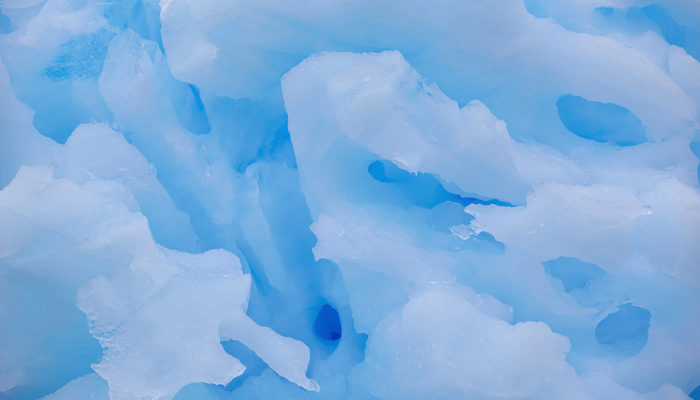
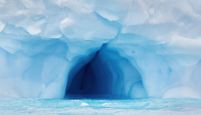
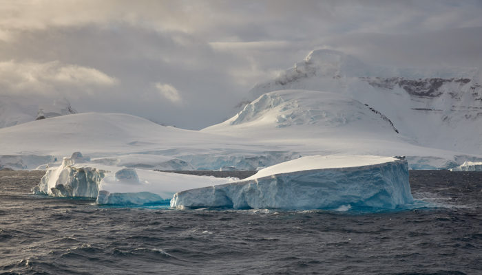
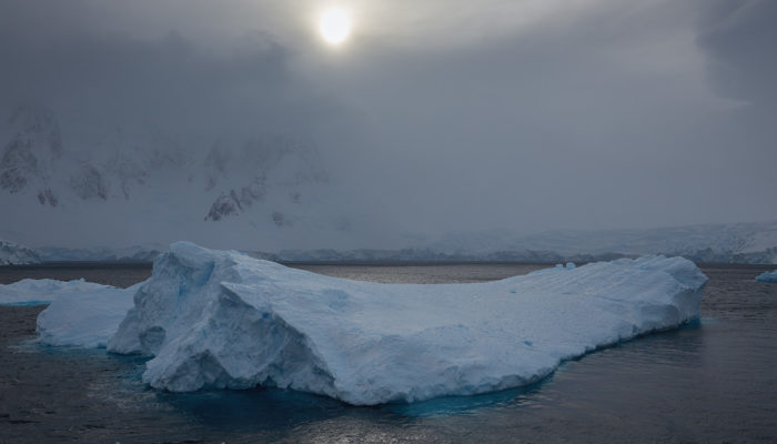
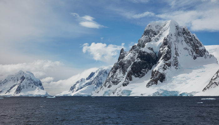
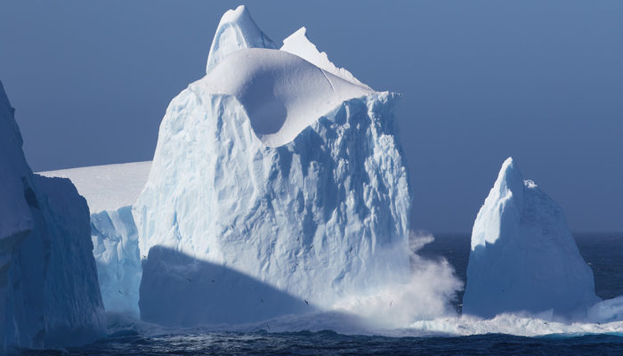
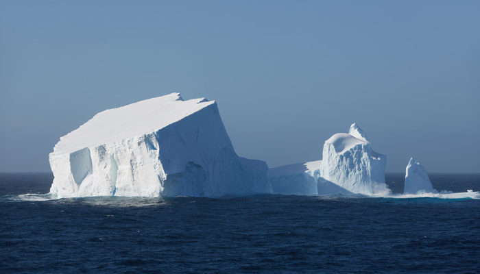
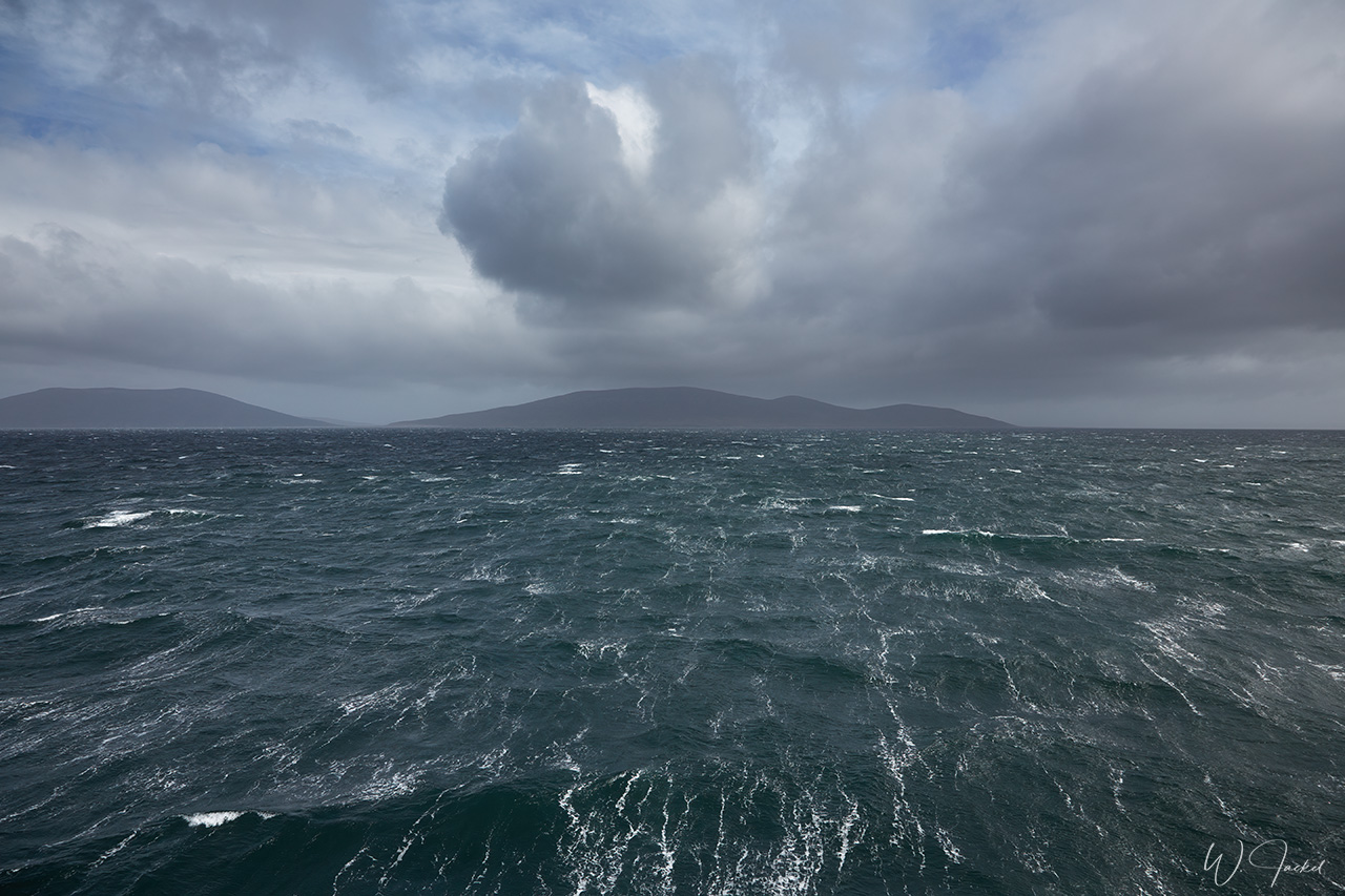
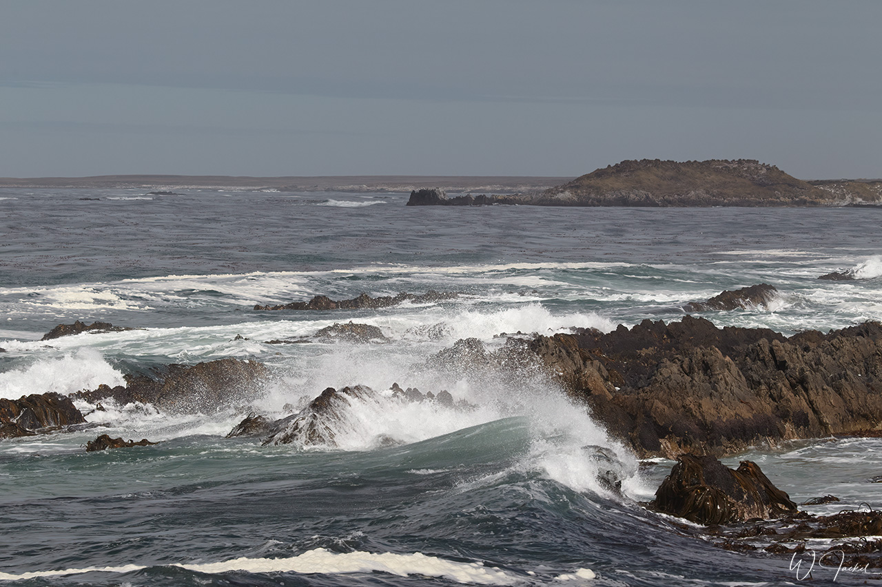
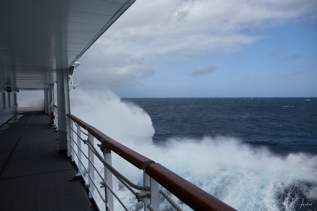
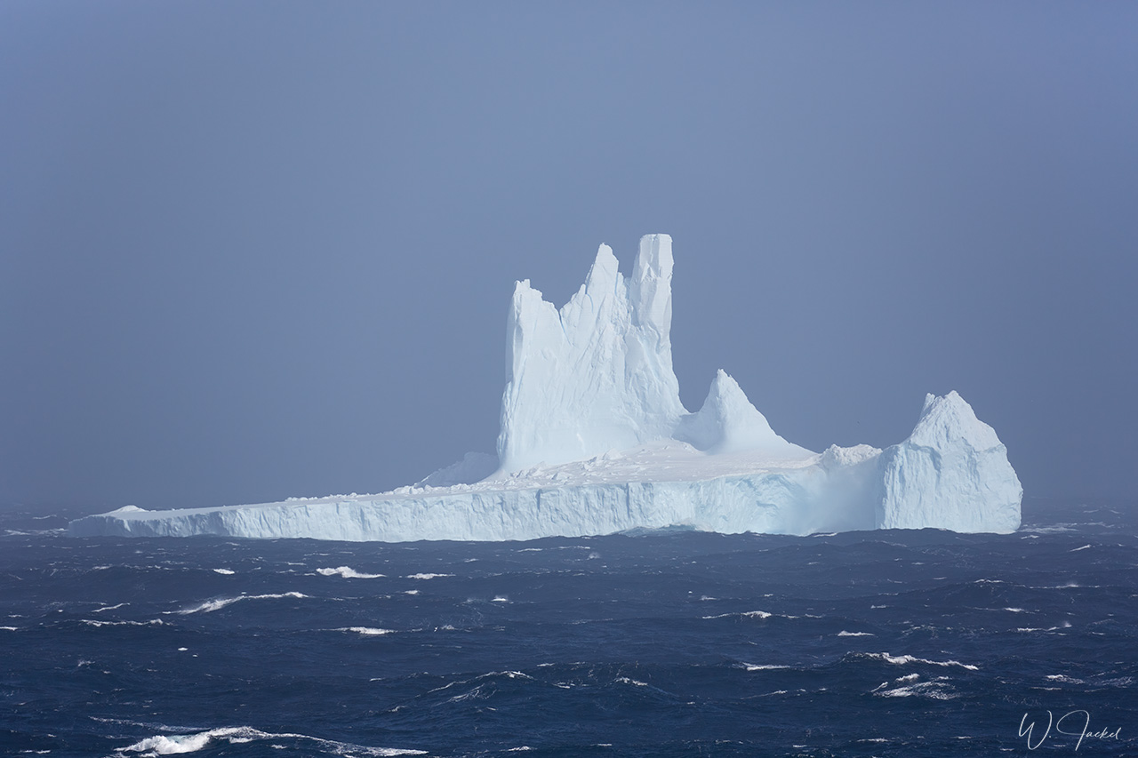
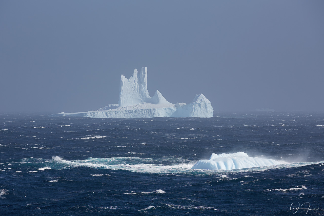
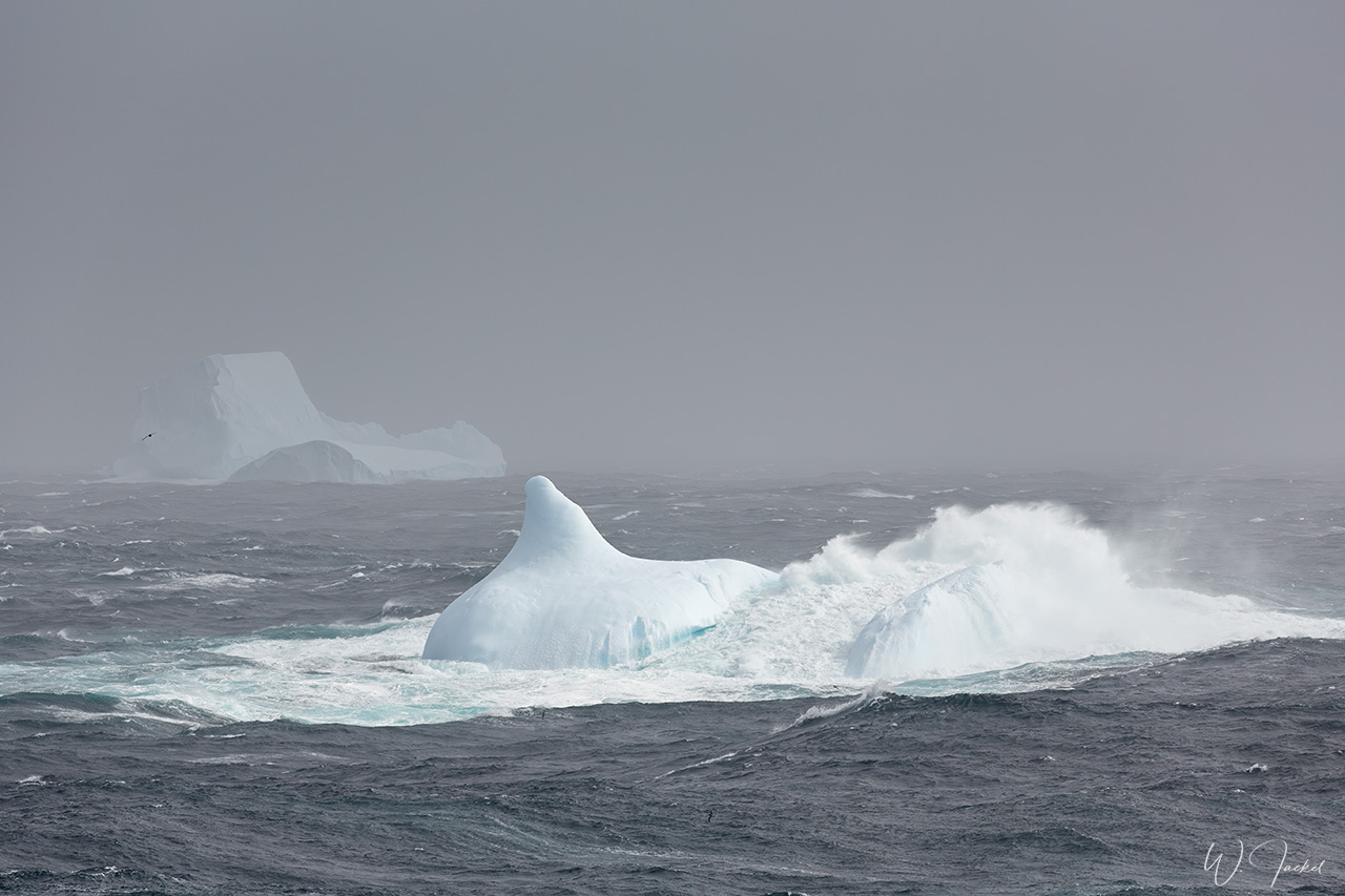
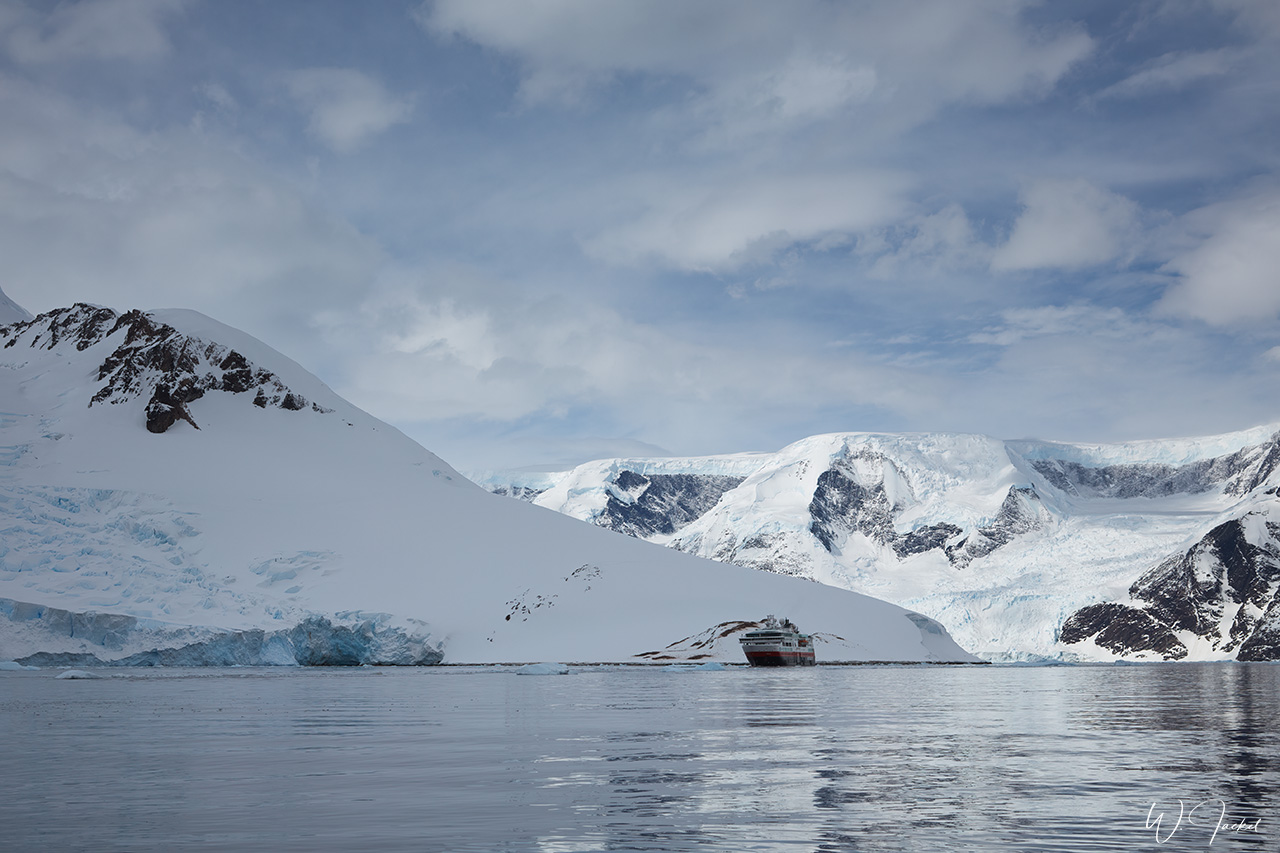
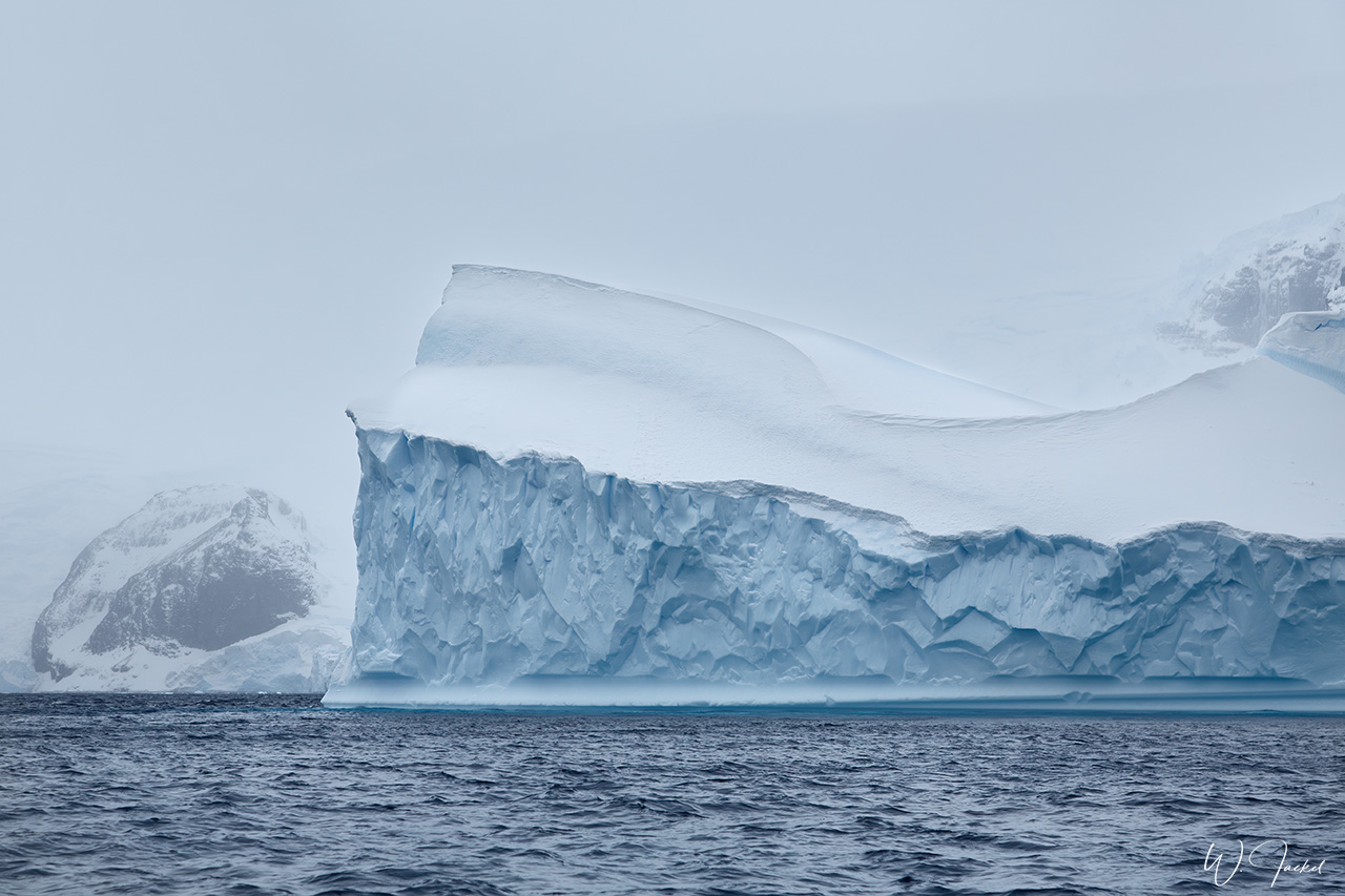
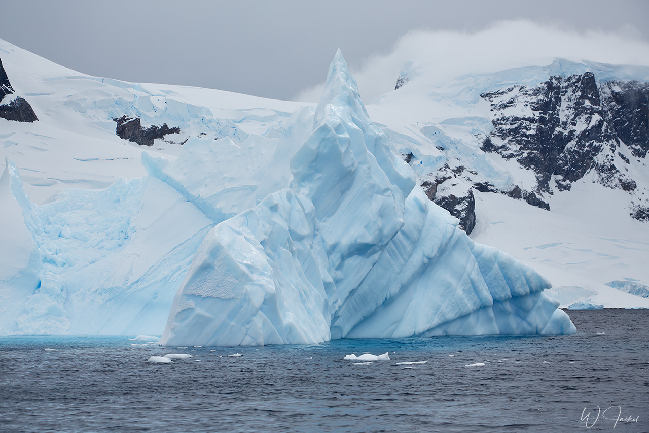
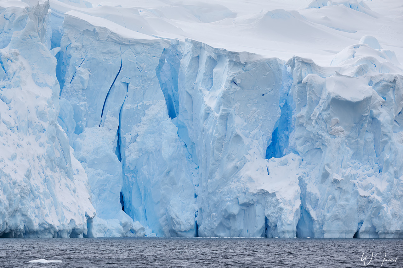
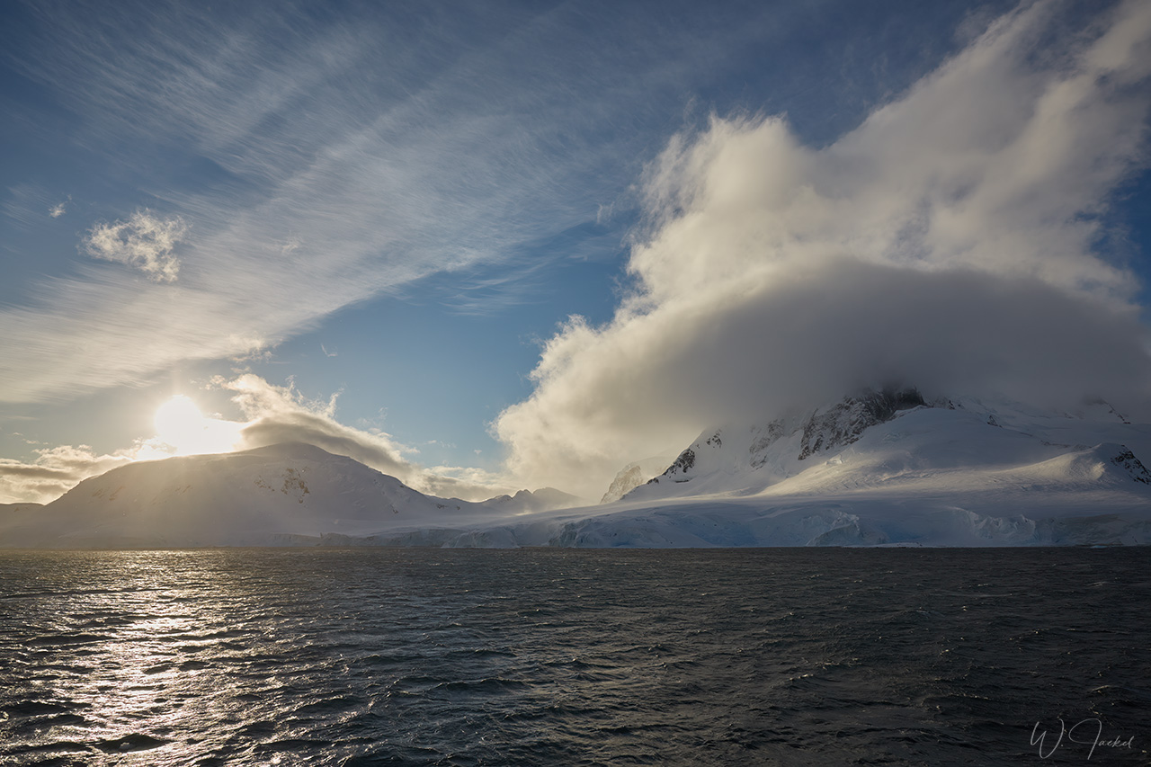
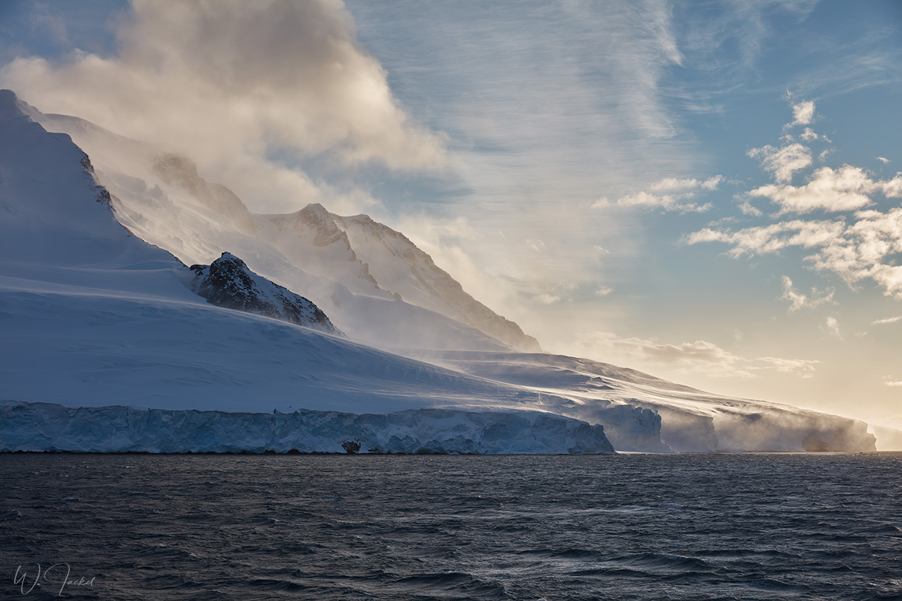
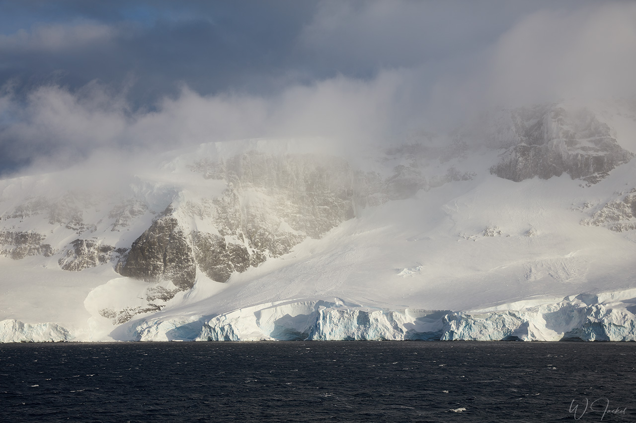
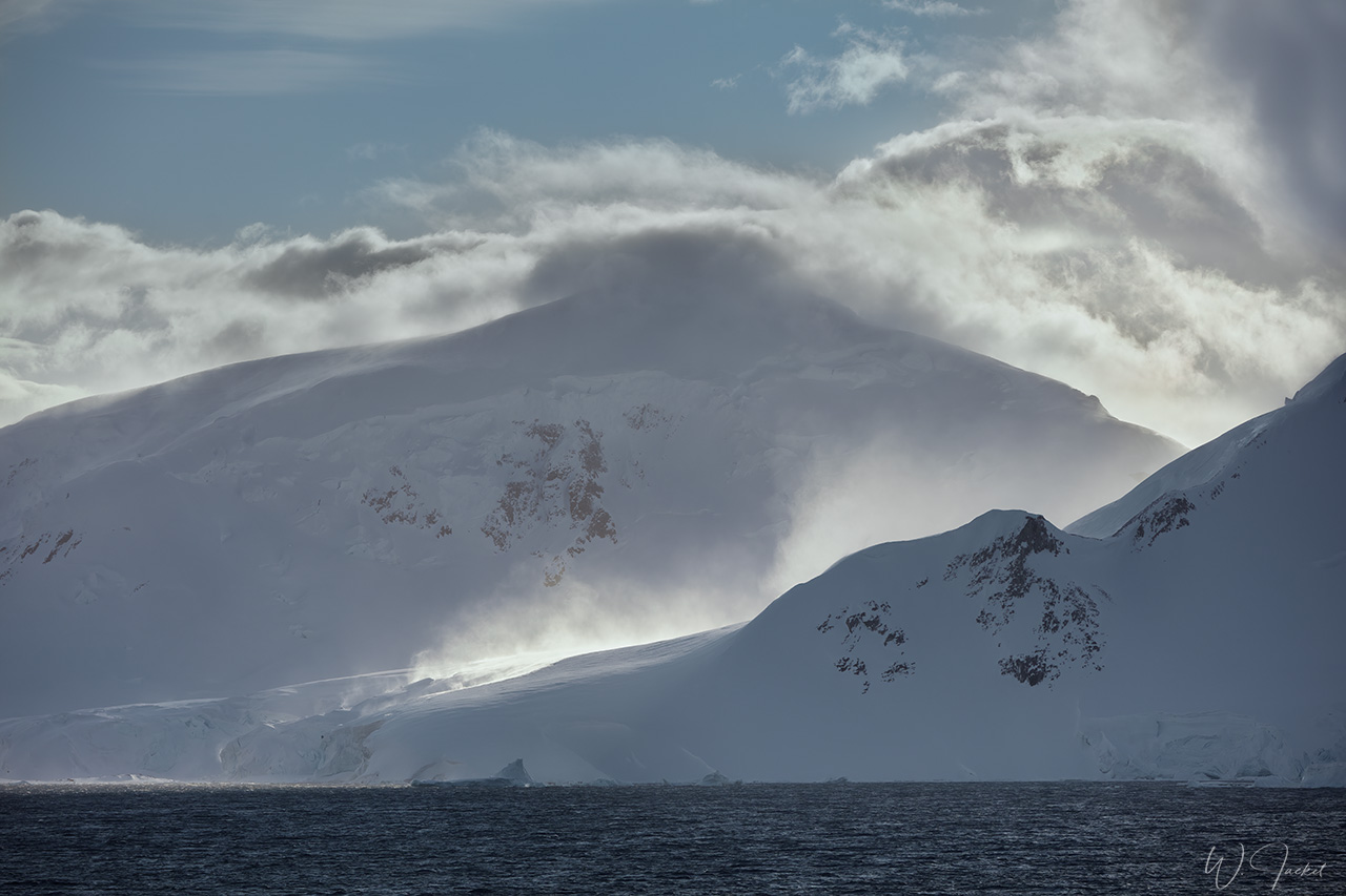
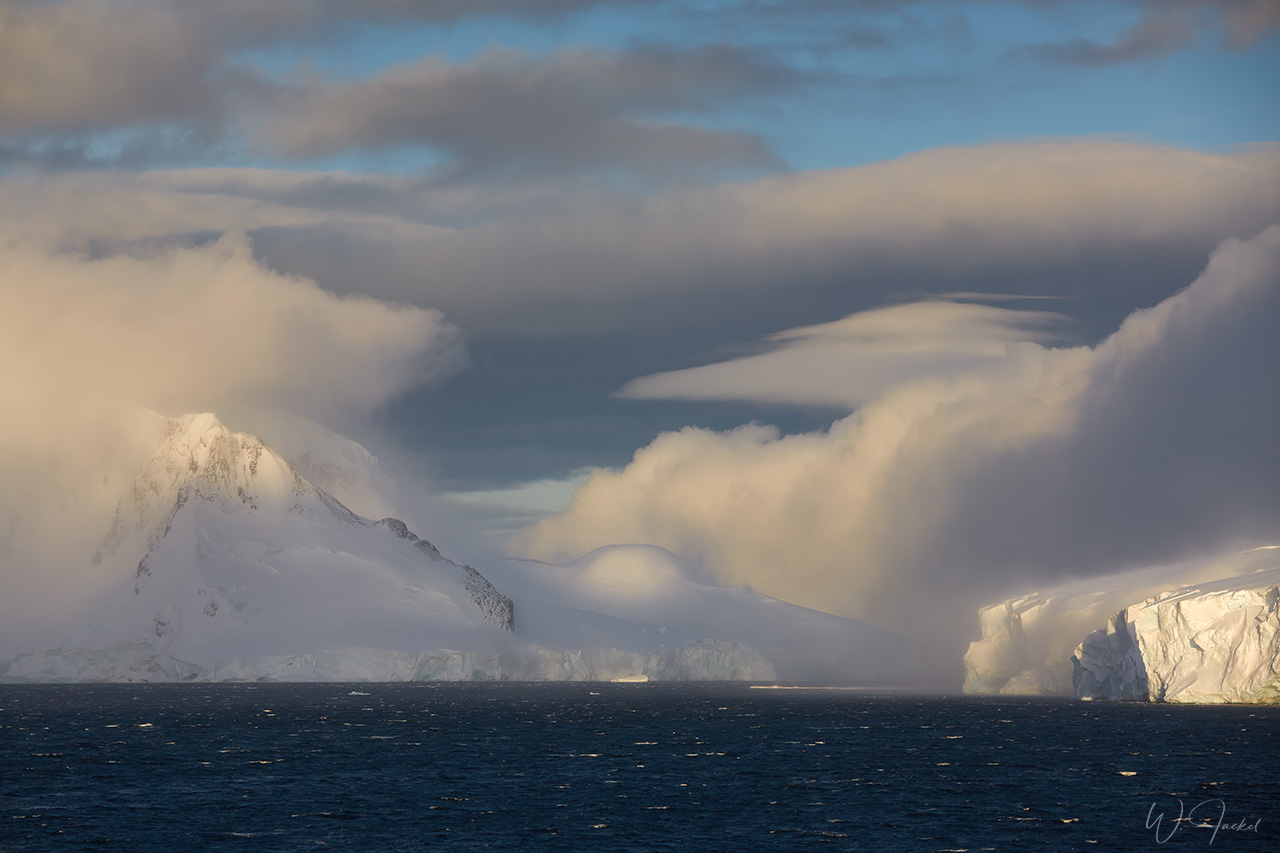
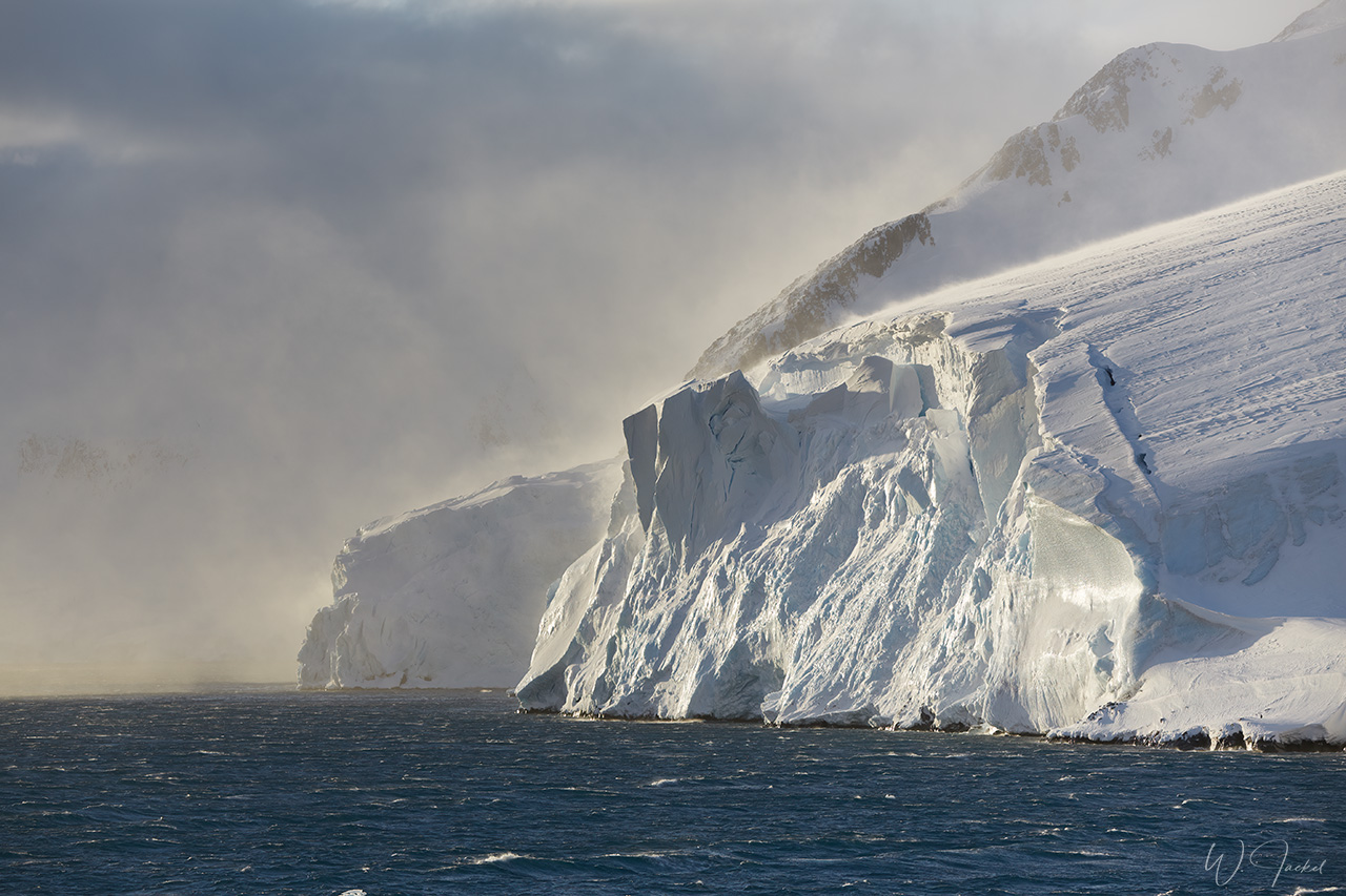
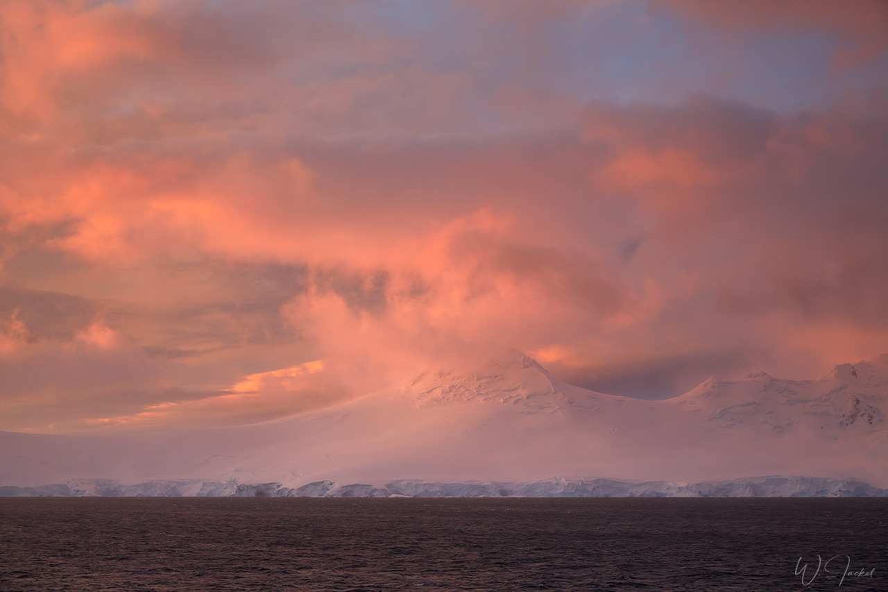
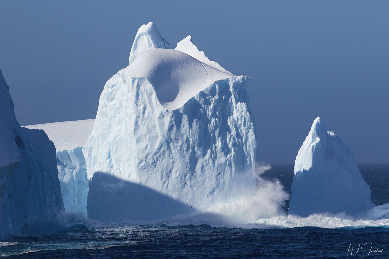
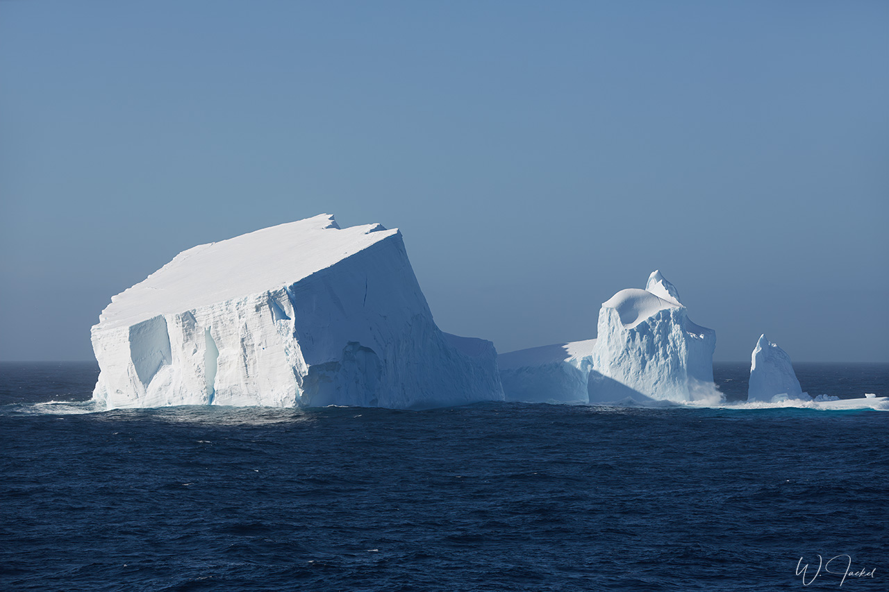
After the extensive visit of Grytviken we headed for our final goal: Antarctica, more specifically the ANTARCTIC PENINSULA. Crossing the Scotia Sea for the distance of 550 Nautical Miles (roughly 1019 km) to Half Moon Island on the South Shetlands required a bumpy passage of almost 3 days. Scotia Sea gave us Beaufort 8-9 winds, which whipped the ocean’s waves up to eight meters high. After crossing the latitude 60° we approached the Antarctic Peninsula and sighted icebergs in all different shapes and sizes. After several hours of cruising down the southeast coast of the South Shetland Islands we and entered the McFarlane Strait between Greenwich and Livingston Islands. From there we sailed to our first Antarctic landing:
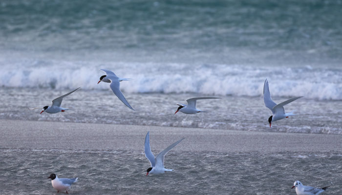
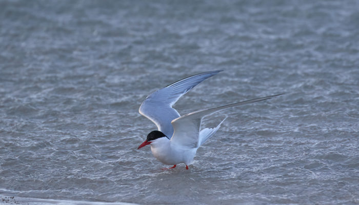
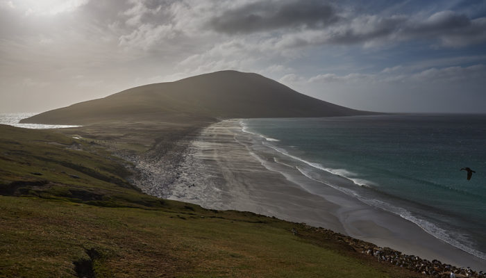
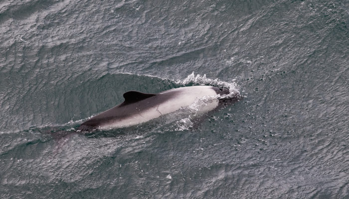
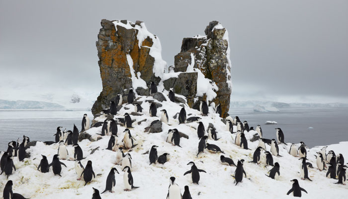
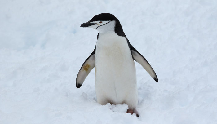
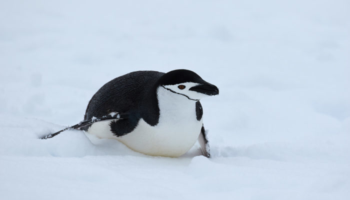
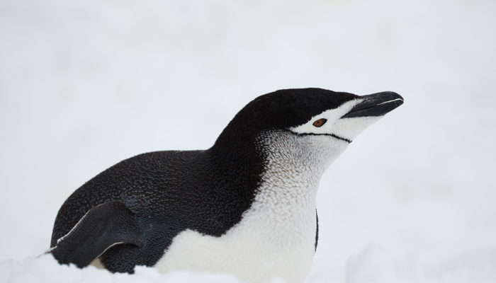
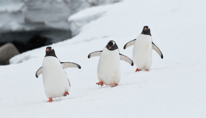
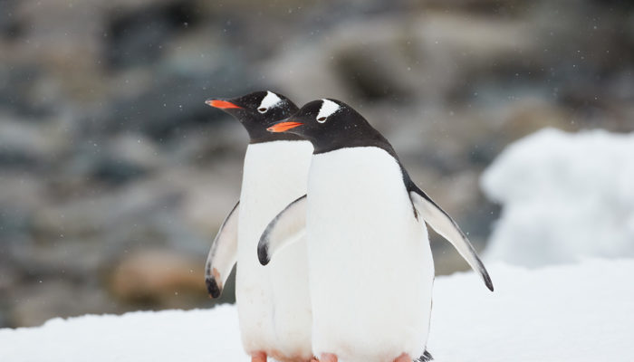
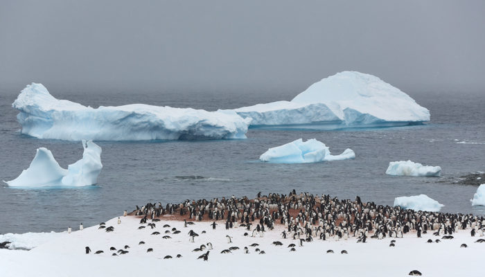
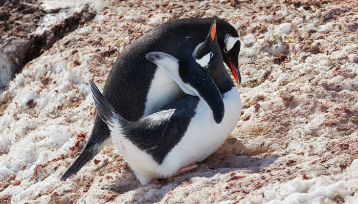
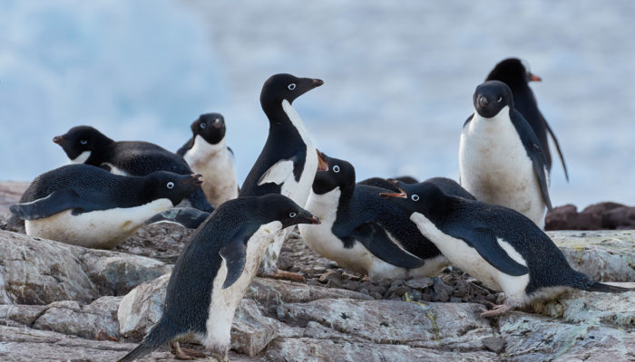
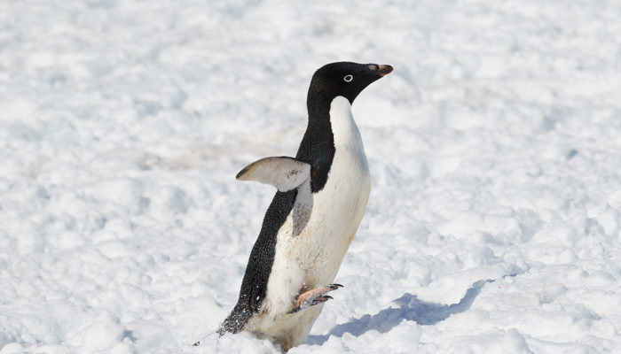
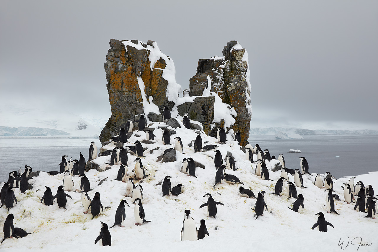
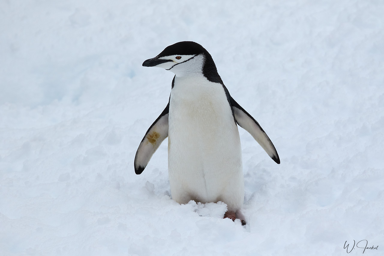
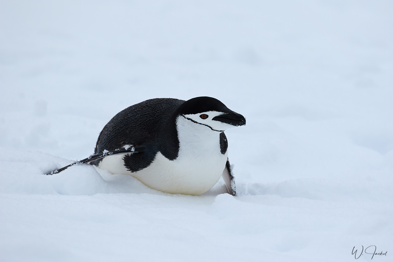
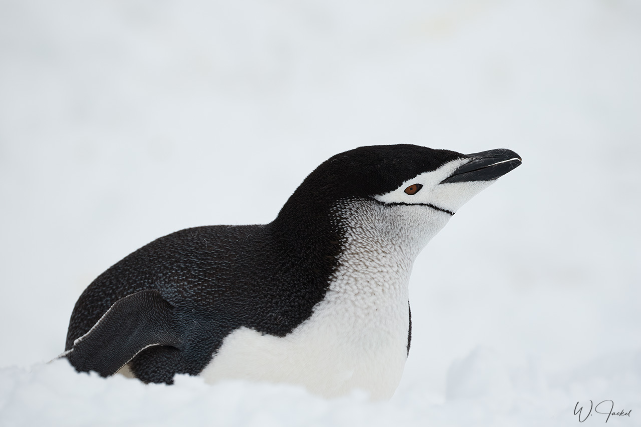
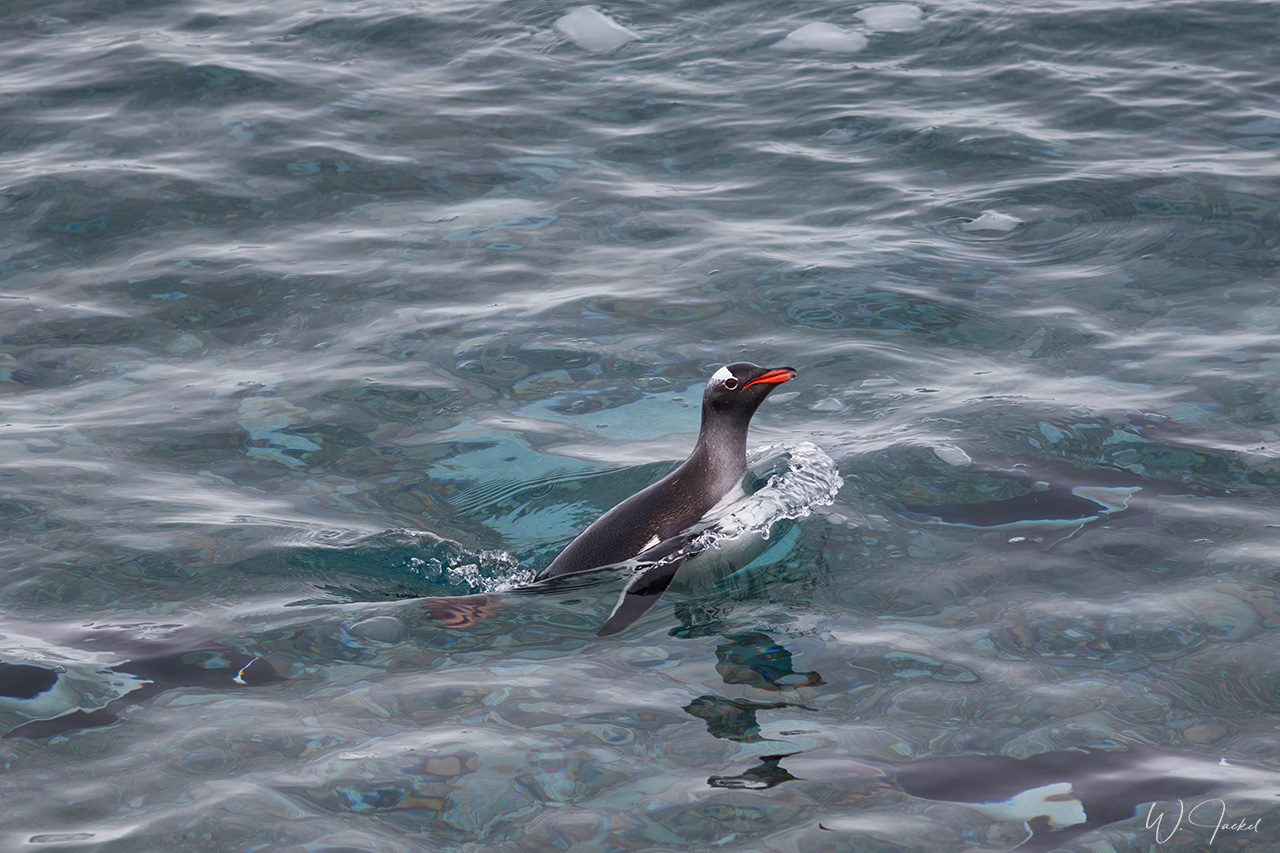
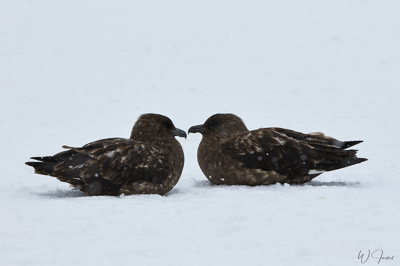
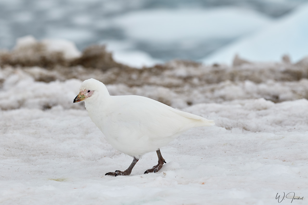
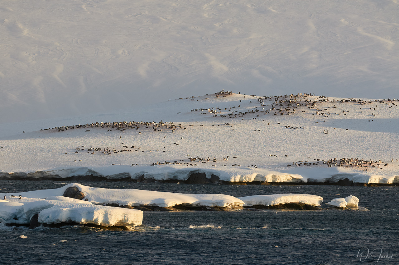
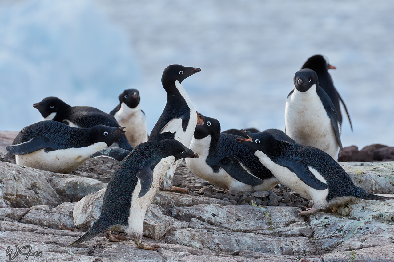
Half Moon Island is a two-kilometers long crescent-shaped island in the shadow of the picturesque mountains and glaciers of nearby Livingston Island. It is a favored expedition stop for its large Chinstrap Penguin rookery up the hill. The breeding season was just getting going and much courtship was going on. It was announced to be our only opportunity to see Chinstrap Penguins in significant numbers during this voyage. Once up the hill, there were nice views of Livingston Island, too. Humpback whales have been spotted breeching in the waters between the two islands, but we didn’t see that display. The serrated and crevassed cliffs of the island are also home to Antarctic Terns, Kelp Gulls, and Snowy Sheathbills, that also ran around the colony eating anything they could find.
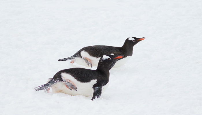
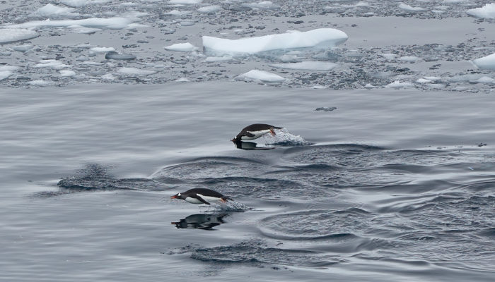
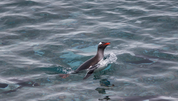
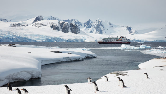
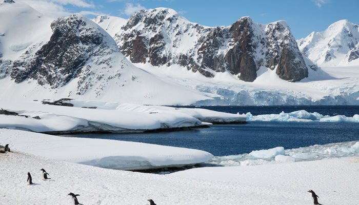
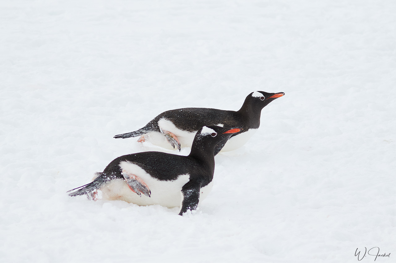
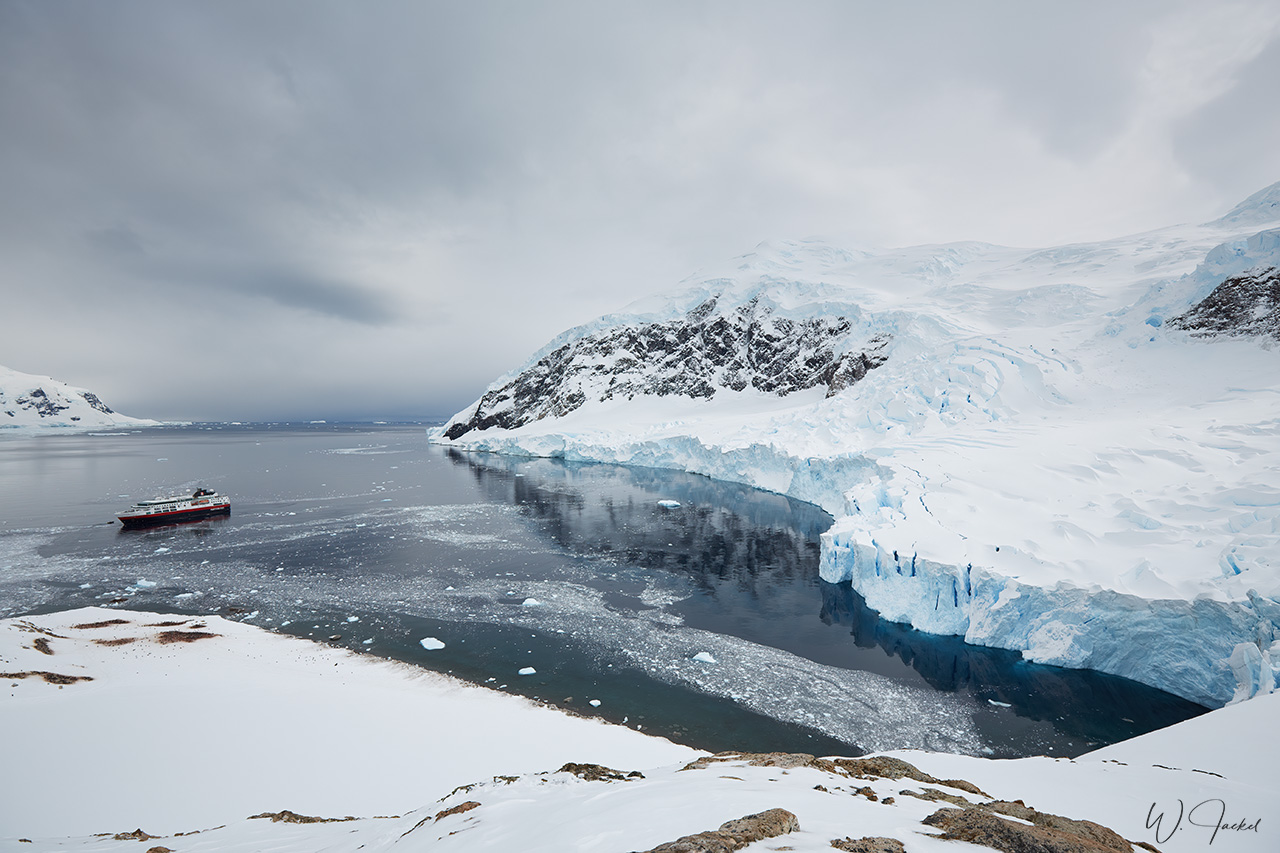
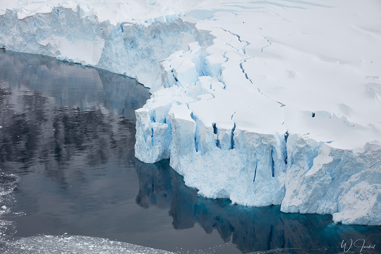
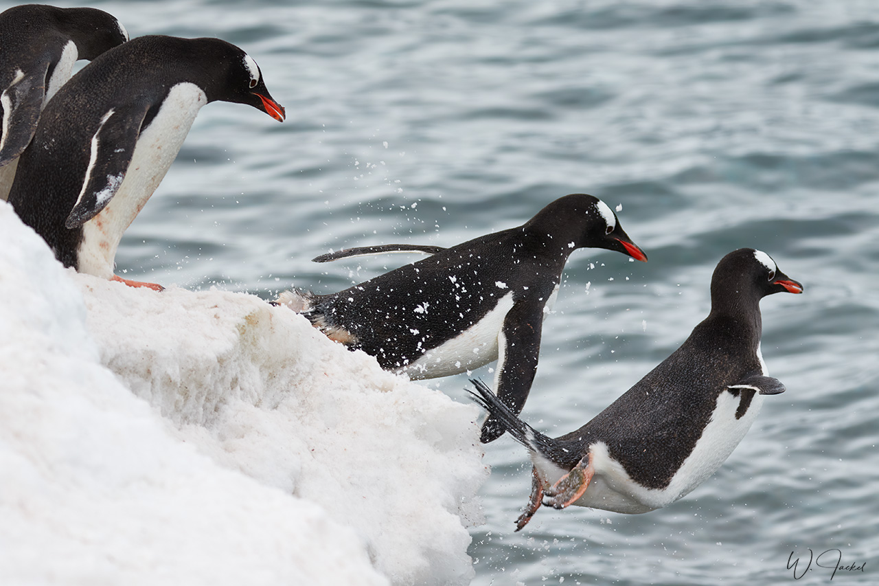
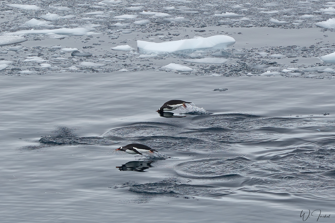
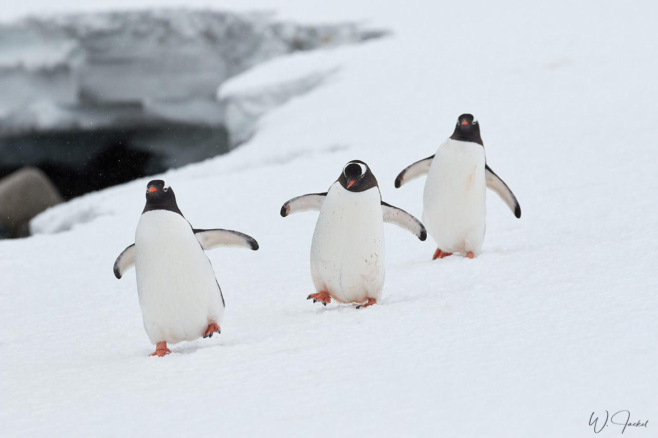
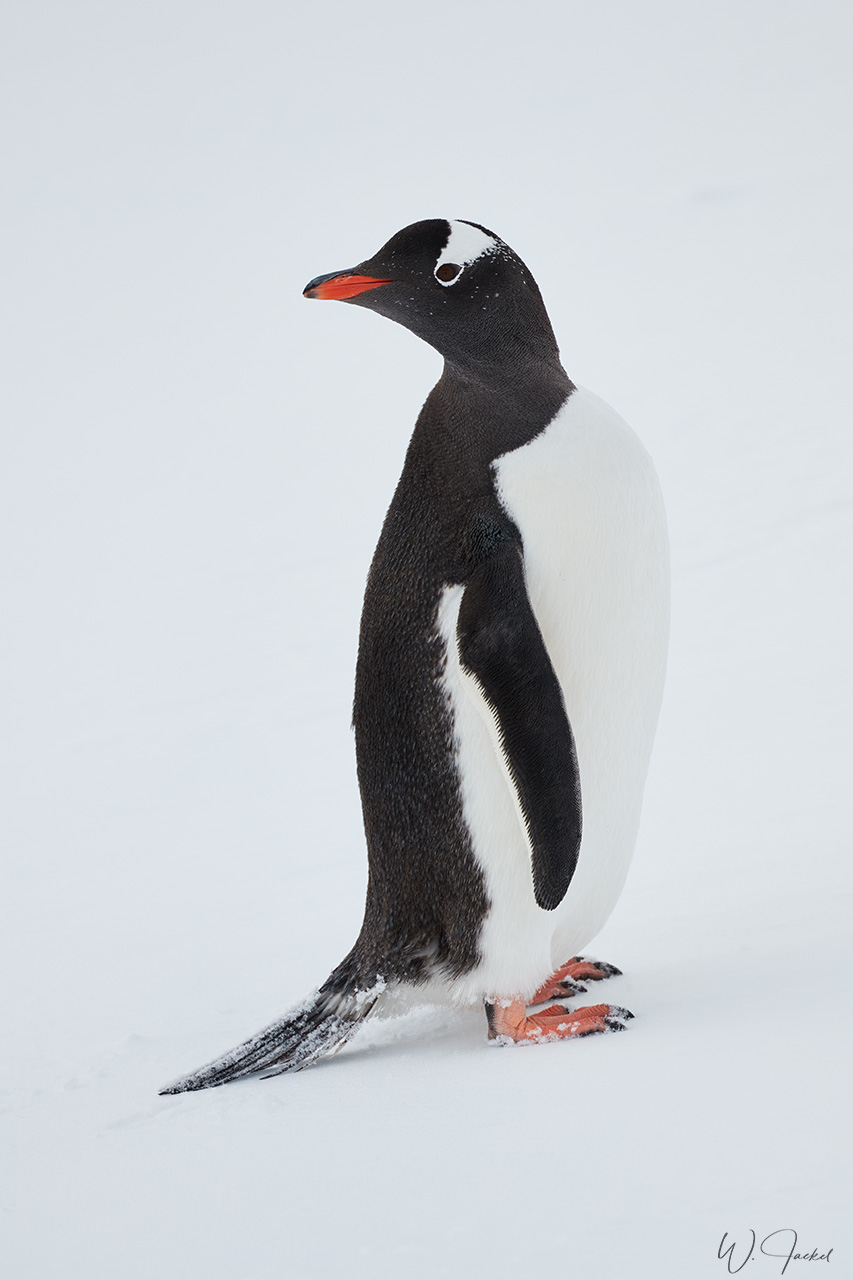
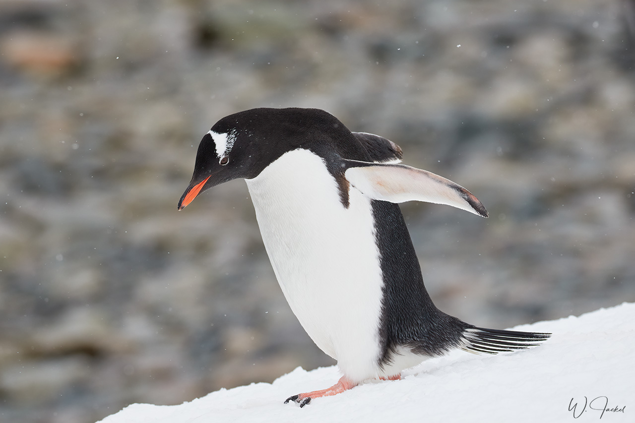
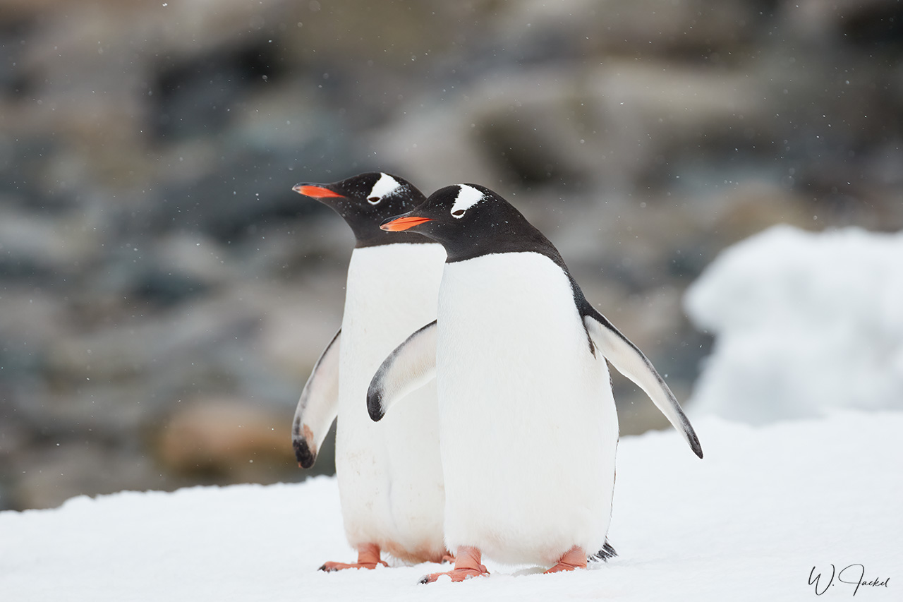
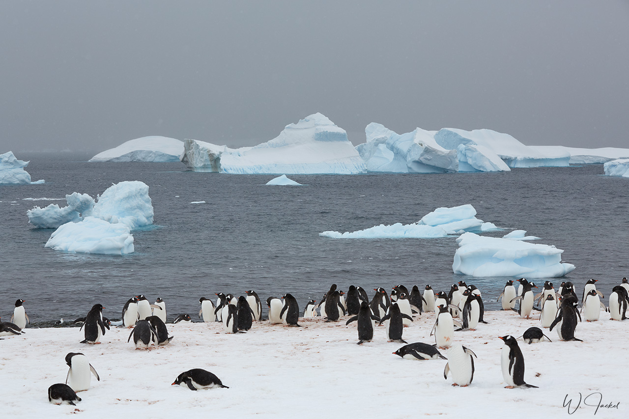
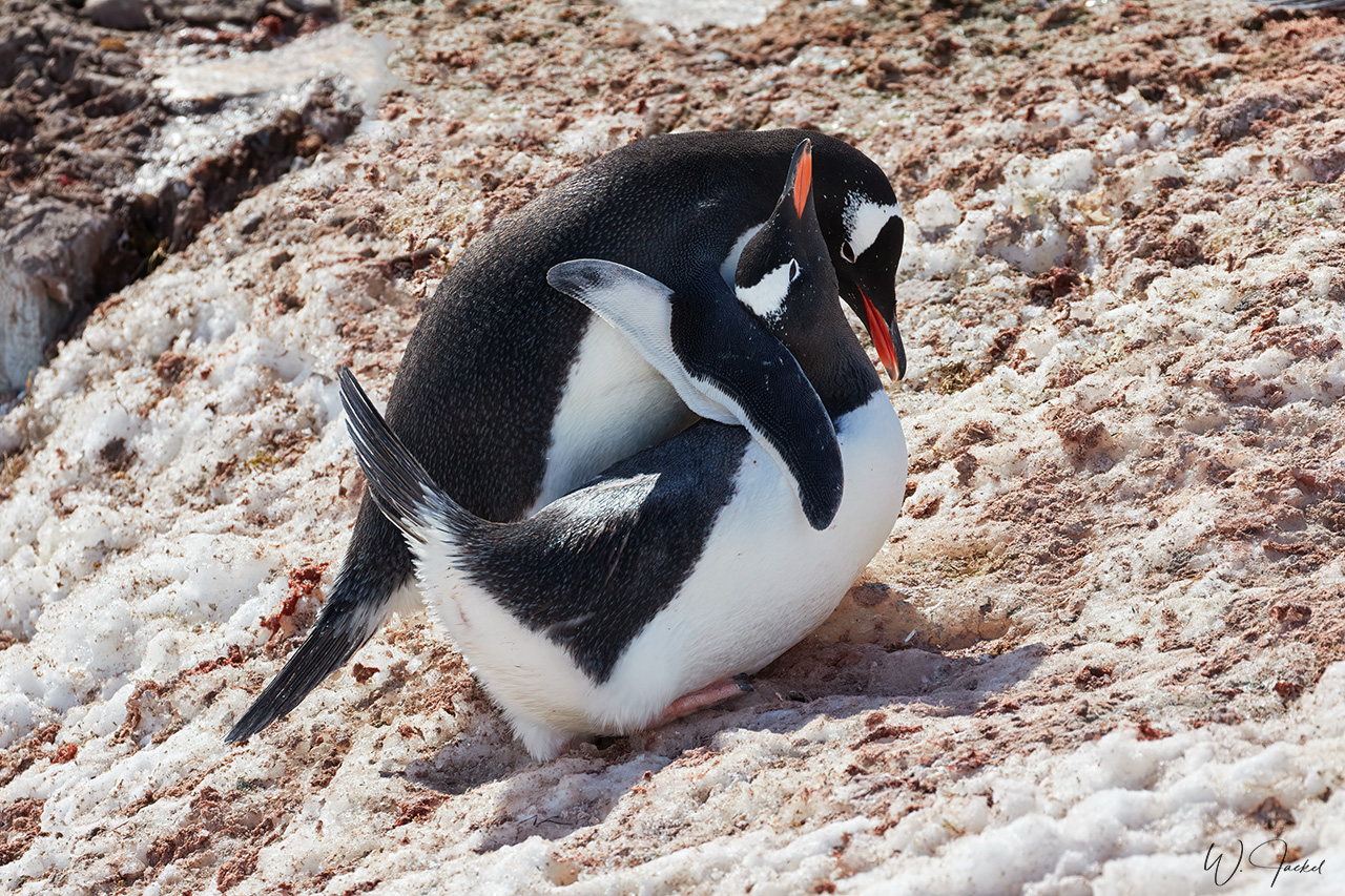
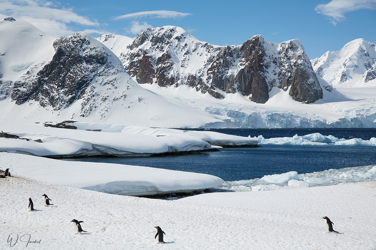
Next stop was Neko Harbor, named for a whaling ship which anchored there in the early 1900’s. It is one of the rare places in the Antarctic Peninsula area where one can set foot on the Antarctic mainland. Neko Harbor is an inlet of the Antarctic Peninsula on the 5 km wide and 14.5 km long Andvord Bay, situated on the west coast of Graham Land. The location has been classified as an important bird and biodiversity area because it supports a breeding colony of more than 300 breeding pairs of Gentoo Penguins that nest on the hill near the beach. It was interesting to see how the penguins have made so-called ‘highways’ for commuting between their colonies and the sea. On the hills down to the sea, they often just slide on their bellies. And after a successful fishing trip, they jump up from the water as acrobats and land on shore. Once we hiked further up to a look out, there was an impressive view over the bay and the blue ice of the rugged glacier front on the opposite side.
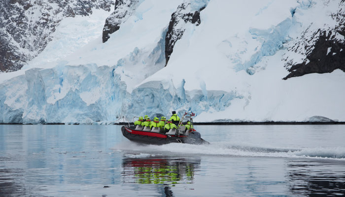
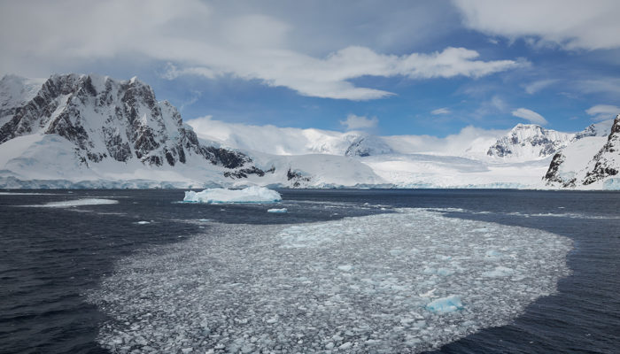
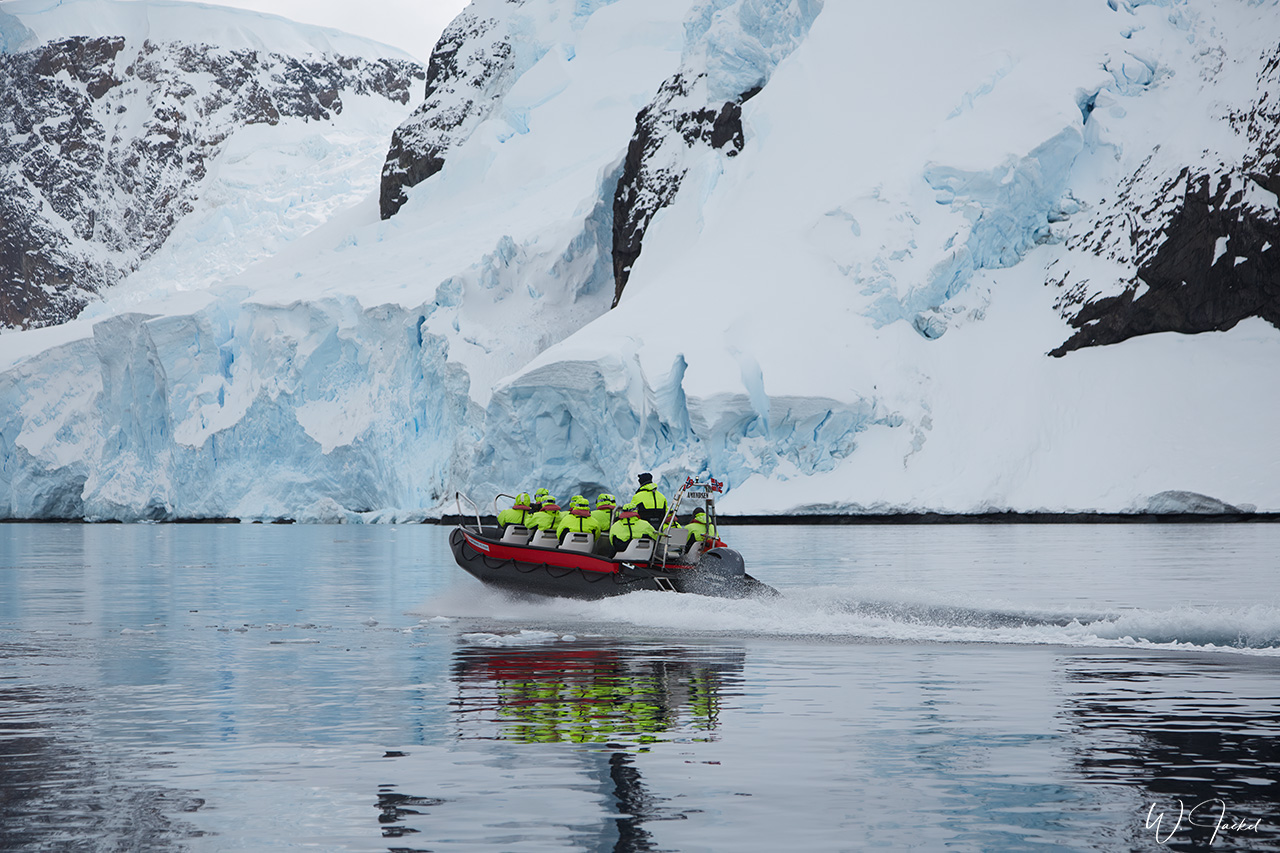
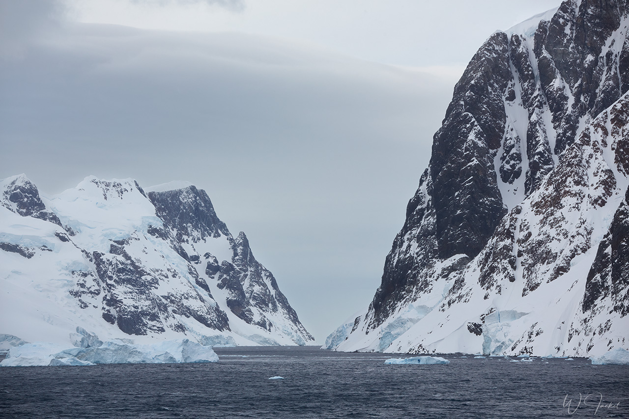
While the ship continued through the Errare Channel to Cuverville, we had booked an optional boat ride for the same route. The Errera Channel is a scenic, narrow waterway between Rongé Island and the Arctowski Peninsula on the mainland. It was named for Professor Léo Errera of the University of Brussels, a benefactor of a Belgica expedition. Though the weather wasn’t perfect with the superb mountain scape mostly shrouded in clouds, the boat cruise along the glaciated coast and between the icebergs was an impressive experience.
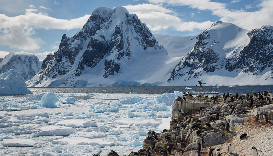
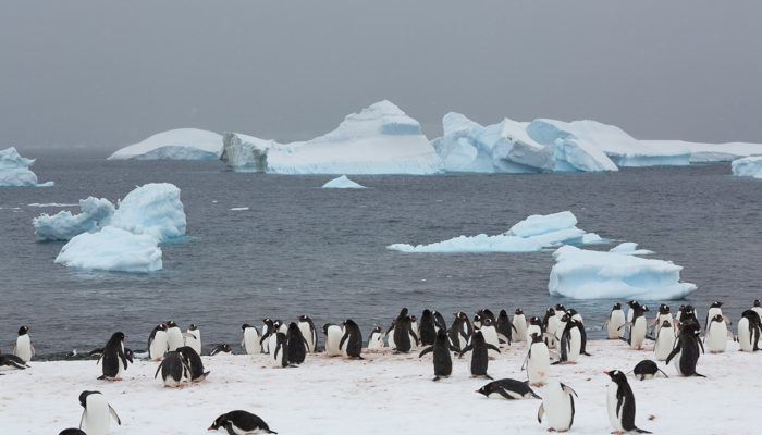
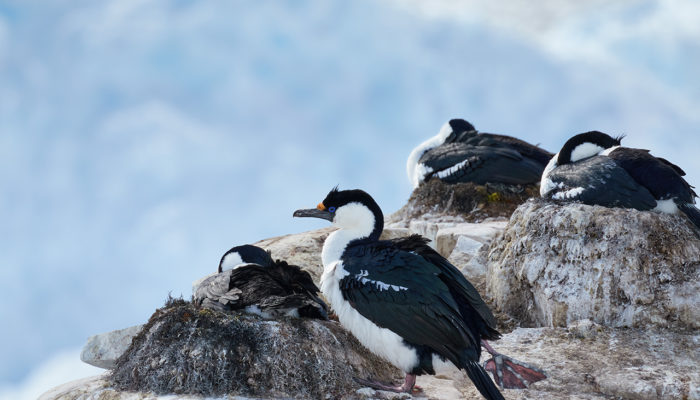
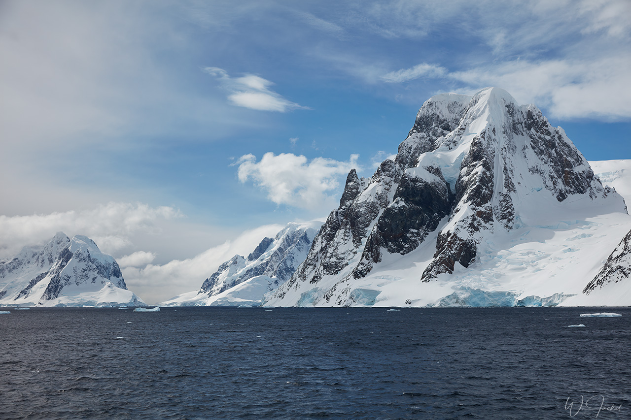
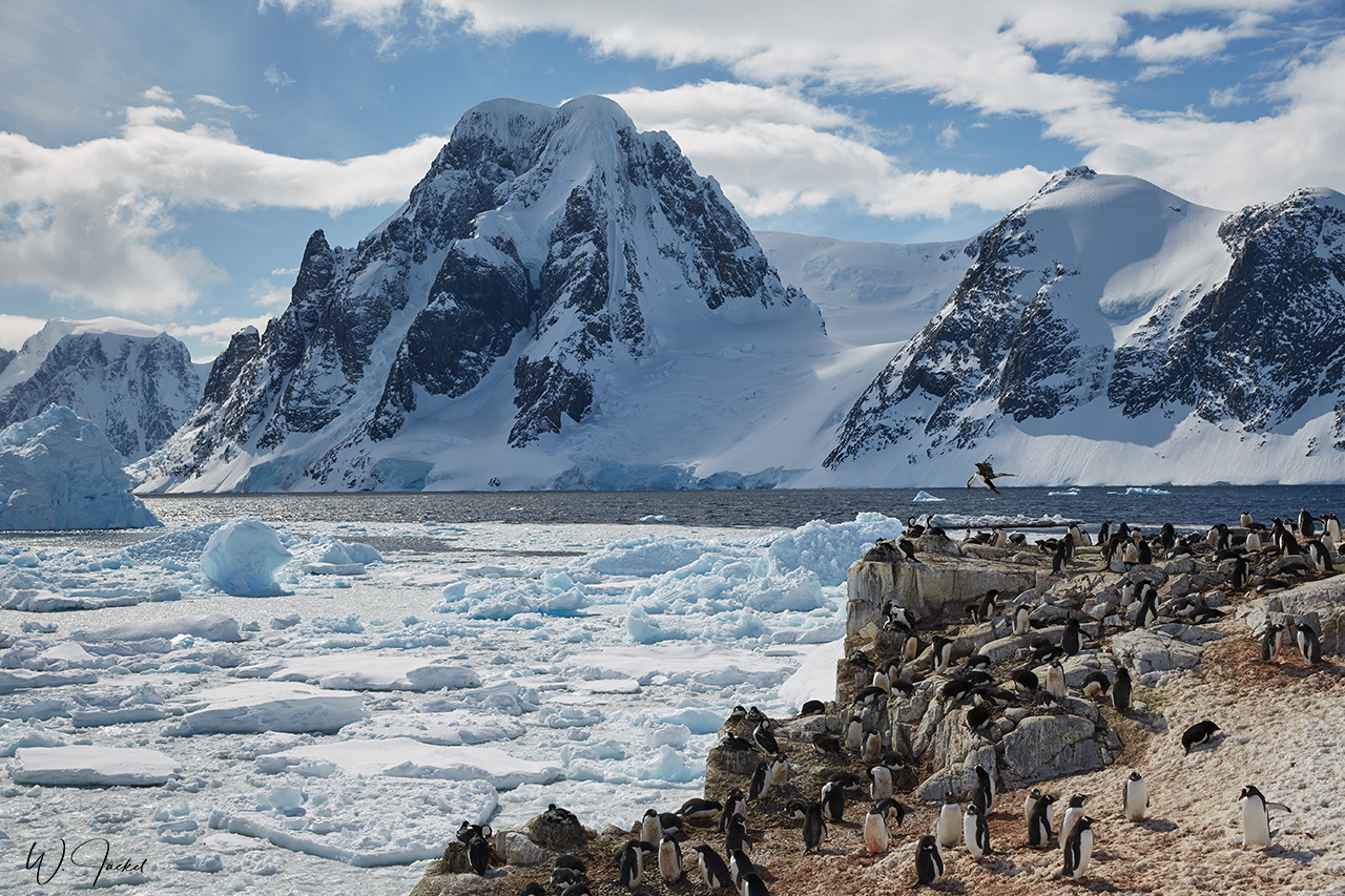
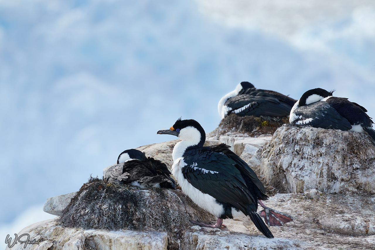
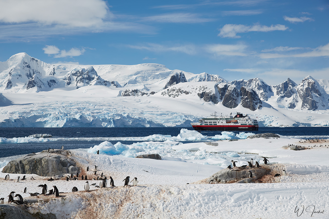
Cuverville Island, located in the Errare Channel, too, is identified as an Important Bird Area (IBA), too because it supports a breeding colony of about 6,500 pairs of Gentoo Penguins, the largest for this species on the Antarctic Peninsula. Blue-eyed Shags are also nesting on the island and the cliffs are home to Skuas. The surrounding scenery of looming mountains, coated with a thick layer of glacial ice and trapped icebergs off the coast that came down the Gerlach Strait, contributed to a special atmosphere.
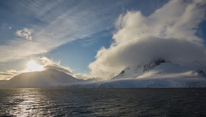
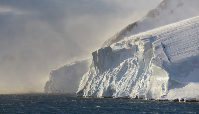
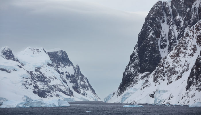
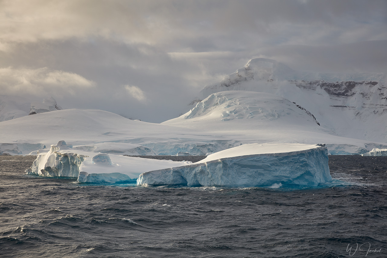
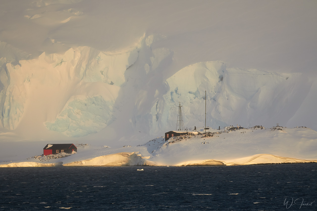
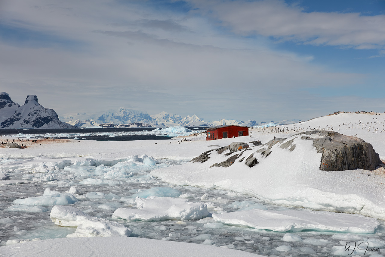
In the evening, we sailed through the known Neumeyer Channel, running 30 km long and 1.5 km wide between Anvers Island and Wiencke and Doumer Islands. As it is a rather narrow waterway, it can be found entirely blocked off by giant icebergs and glaciers during the more icy months of the Antarctic winter. But fortunately it already was open at the time we passed. It was named for Georg von Neumayer by Adrien the Gerlache on his famous 1897-9 expedition.The passage takes 1.5-2 hours and leads through one of the most beautiful landscapes of the Antarctic Peninsula, especially in the golden light we were blessed with. Huge glacier fields, ice breaks, towering natural ice sculptures and steep mountain slopes with over 1000m altitude pass close by the ship. The highest peaks of the Anvers Island reach a height of 2821m and 2572m.- simply a breathtaking scenery though it was extremely windy in the channel and hard to avoid camera shake. We also passed the historic Port Lockroy Base and museum on Goudier Island. The station still was closed and abandoned at that time of the year. It was partly covered by snowdrift with Gentoo Penguins nesting around.
On the next morning, we sailed through the Lemaire Channel. Together with the Neumeyer Channel it is known for its stunning views and a highlight of Antarctica cruises. Given the right weather, this 11 kilometers-long and 1,6 kilometers-wide channel is extremely beautiful. The steep cliffs and glaciers of Booth Island to one side mirror the opposite shores of the Antarctic Peninsula. It is not often this early in the Antarctic summer season, though, that you are able to navigate through the Lemaire Channel, then farther south to Petermann Island. The winter sea ice is usually heavy and the Lemaire is often blocked with smaller icebergs. Despite the dire warnings of heavy sea ice this Antarctic season, we found almost none and could enjoy the amazing scenery during the passage before we easily reached Petermann Island.The Lemaire Channel was traversed by Adrien de Gerlache in 1898. He named it for Charles Lemaire, a fellow Belgian explorer.
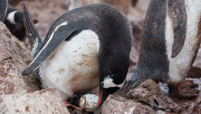
Petermann Island was first discovered in 1893/94 by the German whaler Eduard Dallman and named for geographer August Petermann though it’s perhaps more famous for its 1909 resident Jean-Baptiste Charcot whose ship wintered in a tiny cove here that Charcot named Port Circumcision and was located close to our ship’s anchorage. Initially the light was grey and flat at our arrival. But then the sun came out and made for an impressive scenery with views of the mainland on the other side of the Penola Strait and Mount Scott as a backdrop. Regarding birdlife, Adélie Penguins, Blue-eyed Shags, and – as of 2015 – the world’s southernmost Gentoo Penguin colony are the main attractions here.
Twenty years ago the common species on Petermann was the Adélie but over the intervening period, they have declined and Gentoos have increased. This is also consistent with my experience based on my first visit in 2004/2005 in comparison. There’s apparently little direct competition between the two and the trends are related to differing reactions on the climate change. The Antarctic Peninsula has warmed more than any place on Earth over the last 50 years. This has meant less sea ice and consequently less krill that is depending on ice as grazing habitat. Adélies are krill specialists and have suffered with lower breeding success and insufficient chances to replace natural mortality. Gentoos on the other hand can tolerate warmer conditions and are more flexible in the feeding habits. Their breeding success has been good: so their populations have been increasing on the peninsula and their distribution is moving south.
Petermann was our last landing in Antarctica and a beautiful final experience before we headed back across the Drake Passage to Ushuaia, accompanied by lots of seabirds again.
In summary, this was a very nice and enjoyable voyage. Whenever possible, I usually avoid travelling on bigger ships that carry some 100 passengers with the schedule and organization for the most part not tailored to the requirements of serious photographers .In fact, this voyage themed “In the realm of the great explorers” wasn’t announced as a special tour for nature photographers either and we also had a considerable number of fellow travelers onboard. Therefore, I was a bit skeptical at the beginning. But actually there was a lot of focus on wildlife, too, and all activities and landings were very well organized. Most important, we always had enough time ashore to photograph wildlife and birds for our ourselves alone without major interferences from other passengers.
The still pretty pristine snowy environment close to the penguin colonies offered an additional bonus for compositions though birdlife and wildlife still was not quite at the peak of the season yet.
Photography: The scenery was photographed with Canon f 2.8/24-70mm L IS II, f 2.8/70-200mm L IS USM II and f4/16-35mm L IS USM lenses on the Canon 5DsR and 5D Mark IV bodies. Wildlife and birdlife were mostly captured with the f 4-5.6/100-400mm L IS USM II mounted on the Canon 7D Mark II and the f4/200-400mm L IS USM +1,4Ext Canon on the 1Dx Mark II body.


