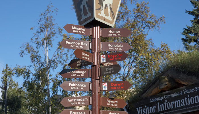
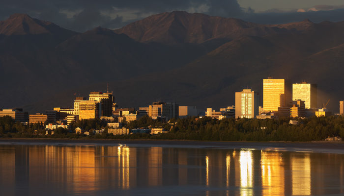
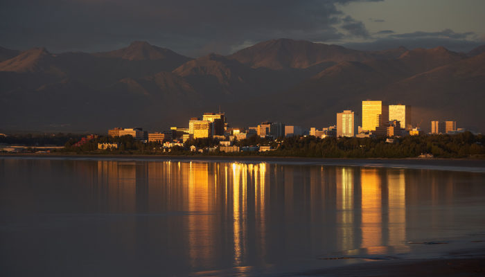
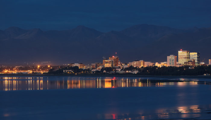
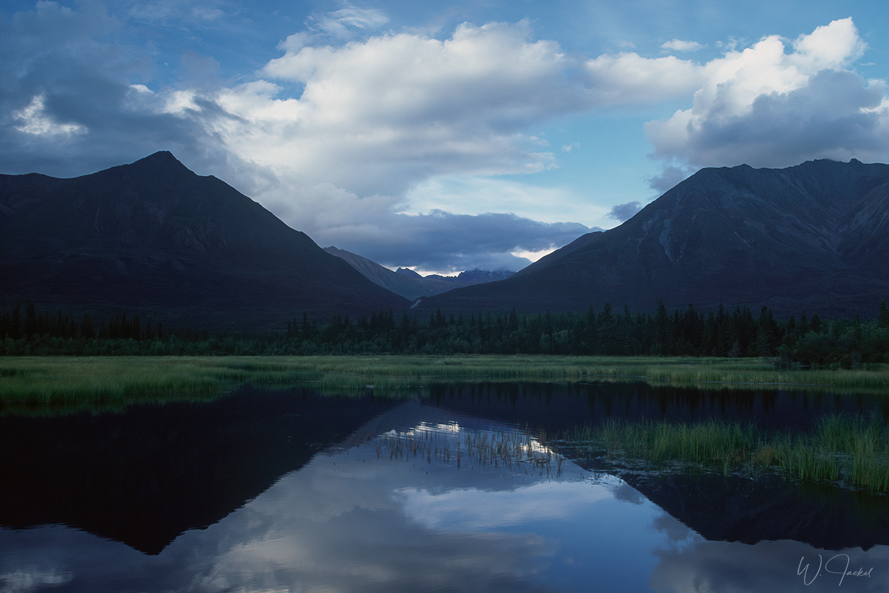
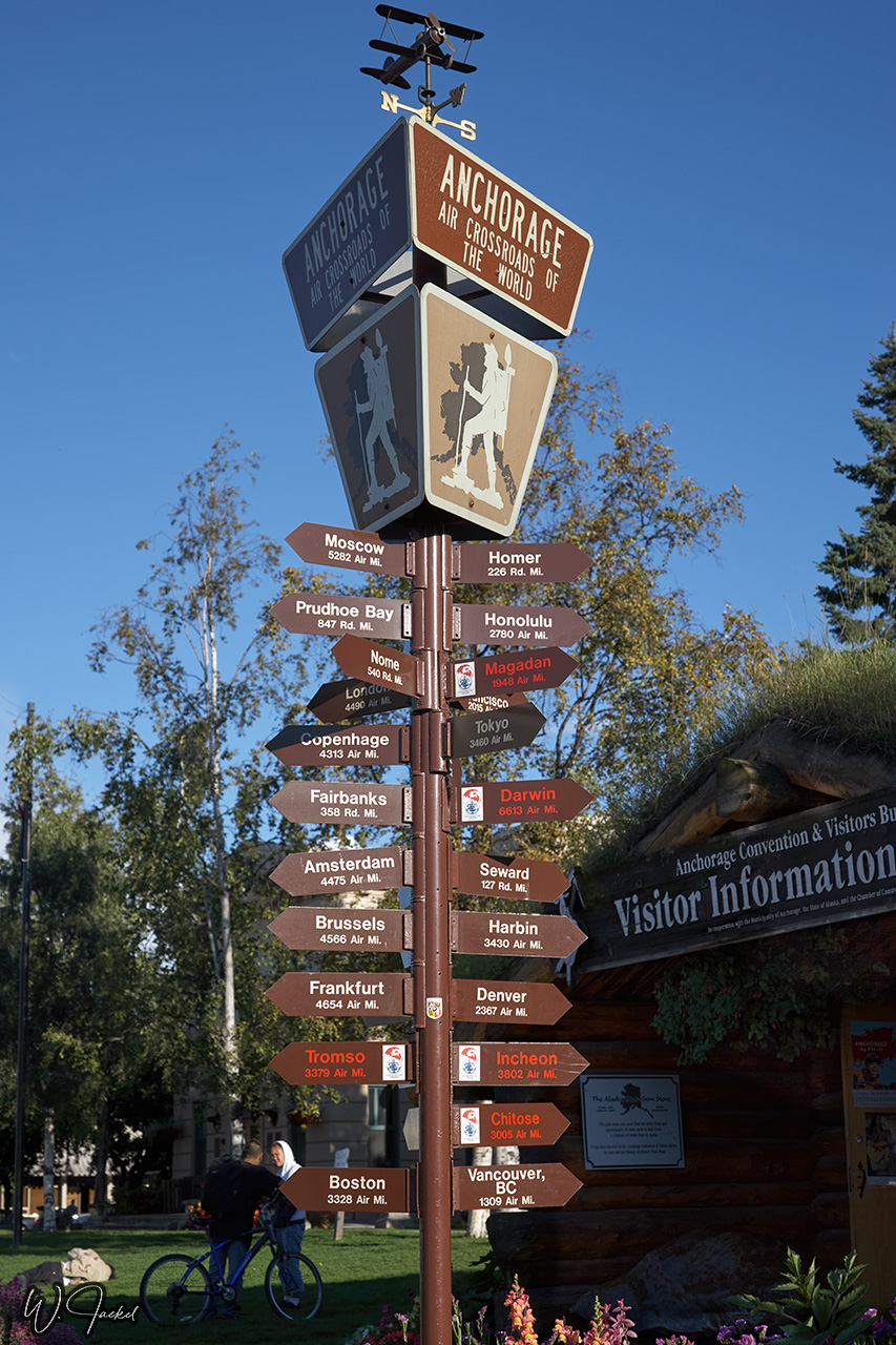
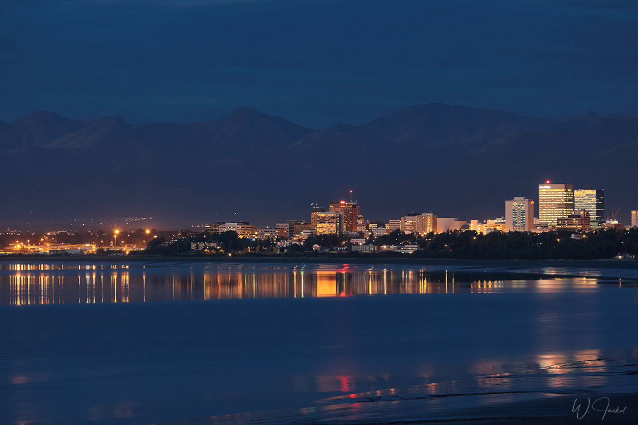
Alaska has a size of 1.7 Mio sq.km – more than 4 times the size of Germany, but just 720000 people live there.That’s about the number of citizens in Frankfurt. 50% of the inhabitants of Alaska live in Anchorage. Yukon Territory is the smallest and westernmost of Canada’s three territories. It also is the least populated territory in Canada, with a population of less than 36000 people as of 2016. Whitehorse, Yukon’s territorial capital is the largest settlement in any of the three territories.
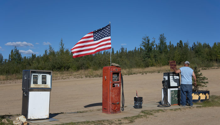
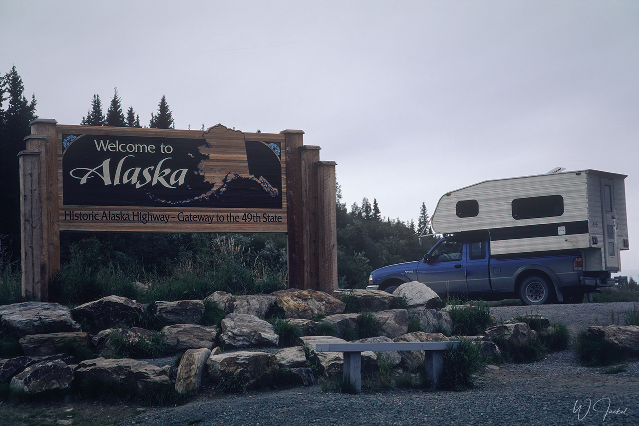
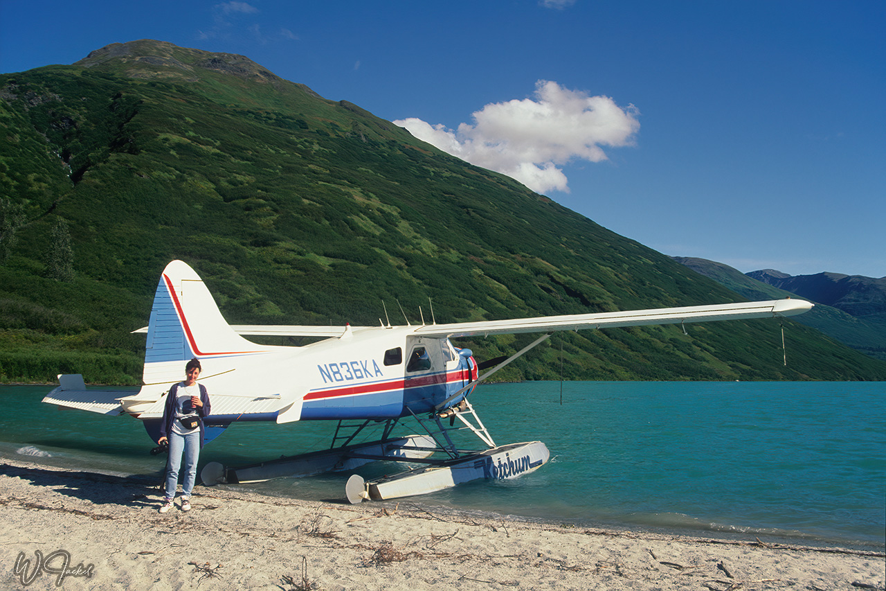
I was fortune to visit the so-called “Last Frontier” on private trips twice in 1999 and 2007. Both times we arrived in Alaska’s capital Juneau, which is the only seat of an US government accessible just by ship or airplane and the center of Alaska’s cruise industry. In 1999 we were transferred from Juneau to the Glacier Bay for a boat trip into the National Park before flying to Anchorage to get our rental camper. In 2007, we went on a 6 days Humpback Whale safari in the Inside Passage starting from Juneau before we continued to Anchorage again for the roundtrip described below. The gallery shows a combination of photographs from both trips. In 1999, digital photography was not yet introduced, so all images were captured on film and digitalized with my Nikon Coolscan LS-ED 4000 film scanner. The images taken in 2007 were shot with DSLRs (see details at the end of this description).
Overview of the Itinerary 1999, (main travel destinations only), 29 days incl. flights:
Flight to Juneau – Glacier Bay cruise (Lamplugh Glacier) – Juneau – Anchorage (Denali flightseeing) – Kenai Peninsula to Seward (boat tour into the Kenai Fjords NP, Holgate Glacier) – Exit- Glacier – Portage Glacier – Valdez (incl Columbia Glacier flightseeing) – side trip to Kennecott – Taylor and Top of the World Hyws to Dawson – Dempster Hwy – Dawson – Whitehorse – Skagway – Haines – Haines Junction – Tok – Delta Junction – North Pole – Fairbanks – Denali NP (3 nights) – Anchorage – Extension flight to the Katmai NP (3days) – Anchorage – flight home (via Seattle, Copenhagen)
Overview of the Itinerary 2007, (main travel destinations only), 25 days incl. flights:
Flight to Juneau – Whale safari (6 days, see separate gallery and description) – Juneau – Anchorage (Denali flightseeing) – Kenai Peninsula to Seward – (boat tour into the Kenai Fjords NP, Holgate Glacier) – Kenai Wildlife Refuge – Portage Glacier – Anchorage – Matanuska Glacier – Taylor and Top of the World Hyws to Dawson – back to Tok – Delta Junction – North Pole – Fairbanks – Denali NP (3 nights) – Anchorage – flight home (via Seattle, London, Copenhagen)
Main travel destinations, please zoom in (+) for more details
Detailed description of the itineraries and additional informations:
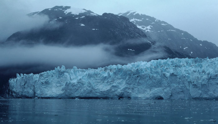
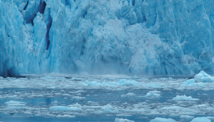
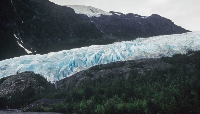
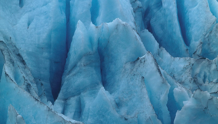
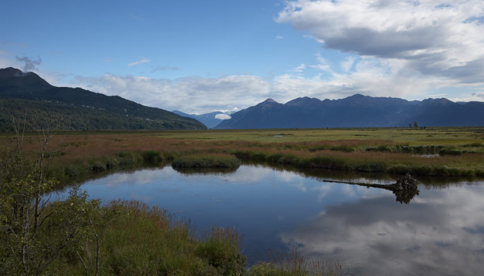
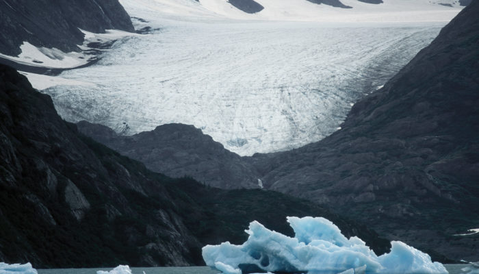
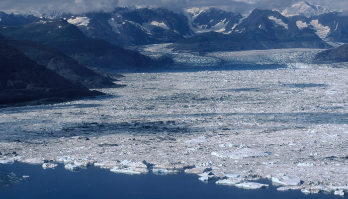
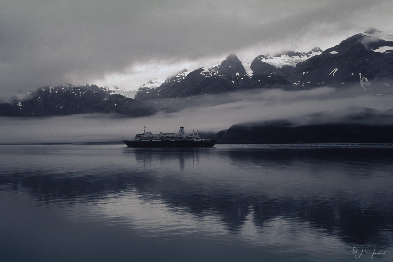
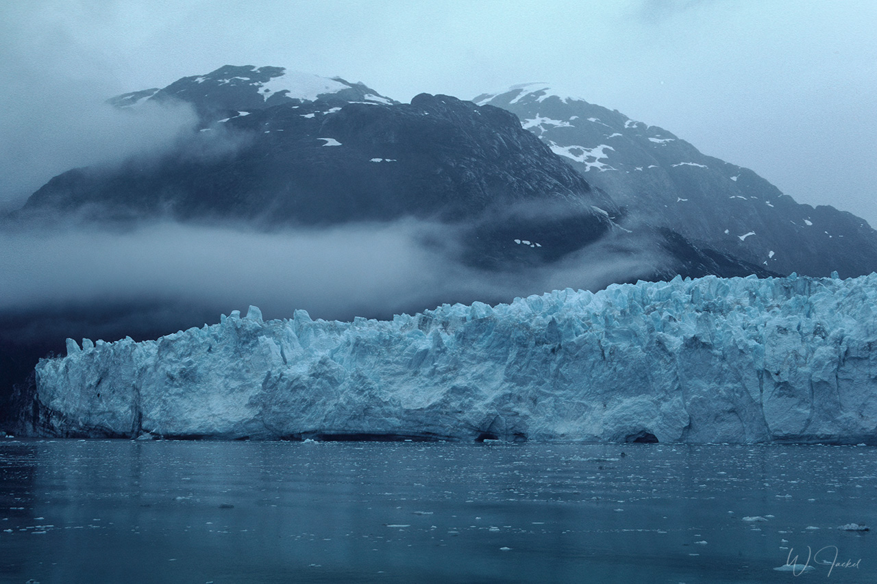
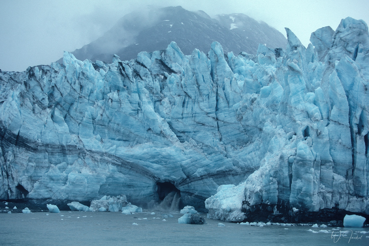
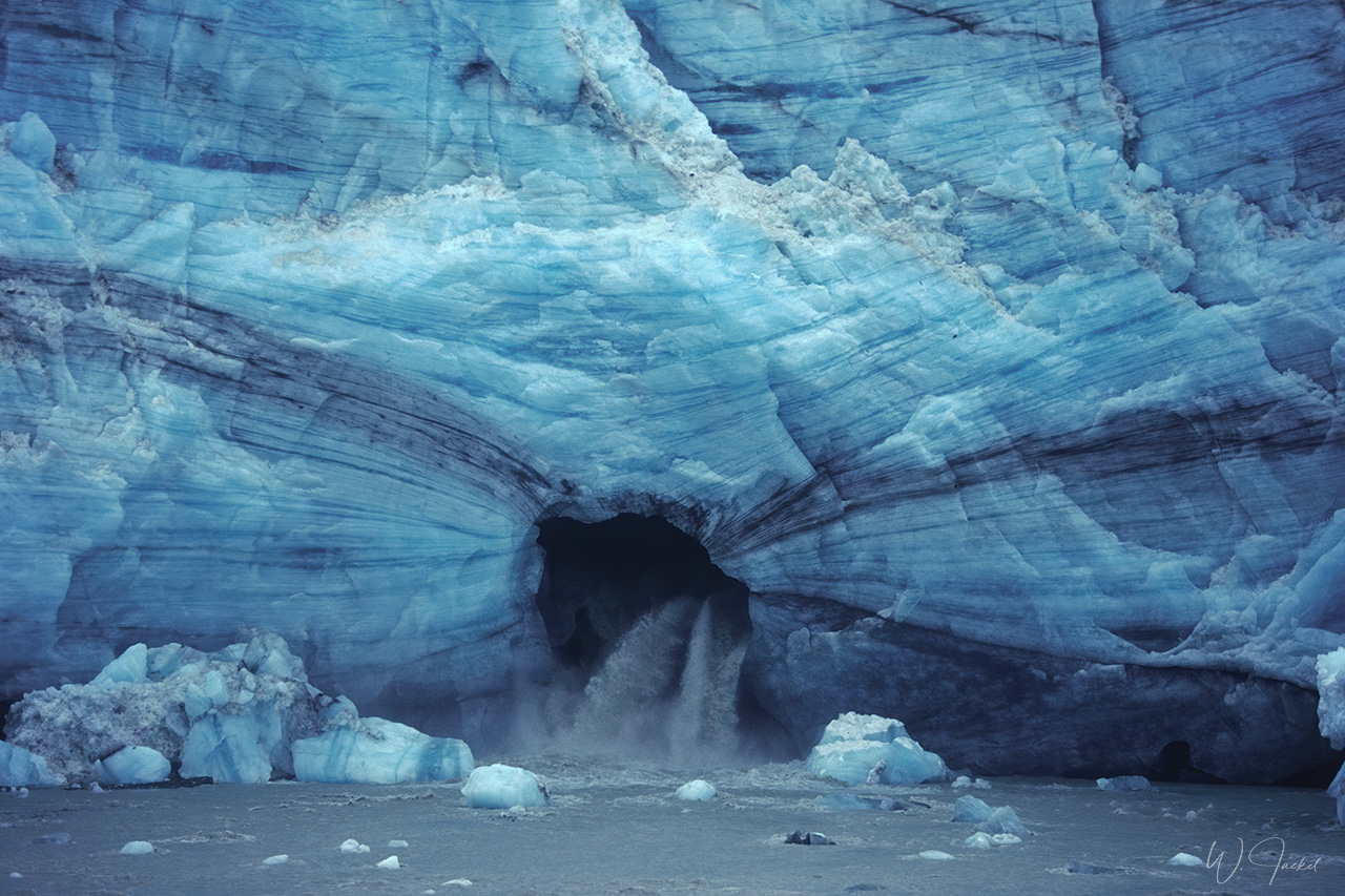
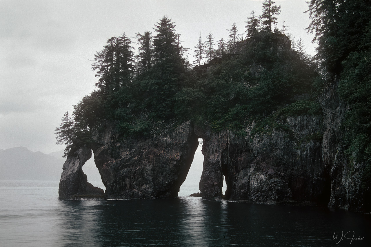
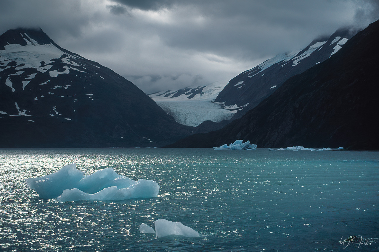
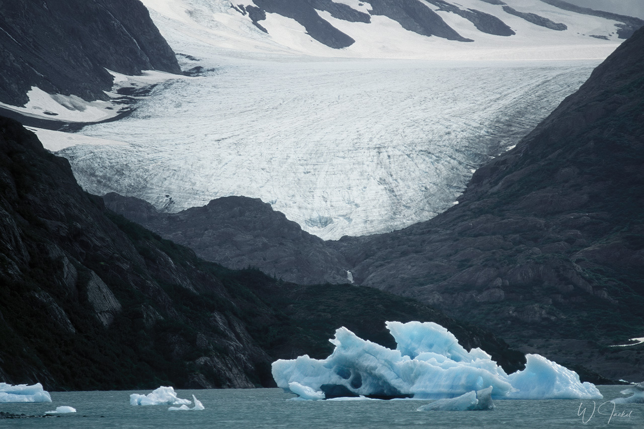
Glacier Bay National Park is a highlight of Alaska’s Inside Passage and part of a 171,4 sq.km World Heritage Site – one of the world’s largest international protected areas with rugged mountains, dynamic glaciers, temperate rainforest, wild coastlines and deep sheltered fjords. The weather wasn’t favorite on our 1999 boat tour, though, so that the amazing landscape of the Glacier Bay NP mostly was hidden behind low hanging clouds. On the cruise we approached the face of the 13km long Lamplugh Glacier located about 96 miles northwest of Juneau – one of the numerous glaciers in the NP that has been a tourist attraction. However, on June 28, 2016, a 1200-meter mountainside collapsed onto Lamplugh Glacier, causing a landslide that dropped 120,000,000 metric tons of rock and debris onto the glacier. The landslide left a 9-kilometer long debris field on the glacier’s surface.
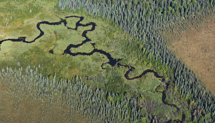
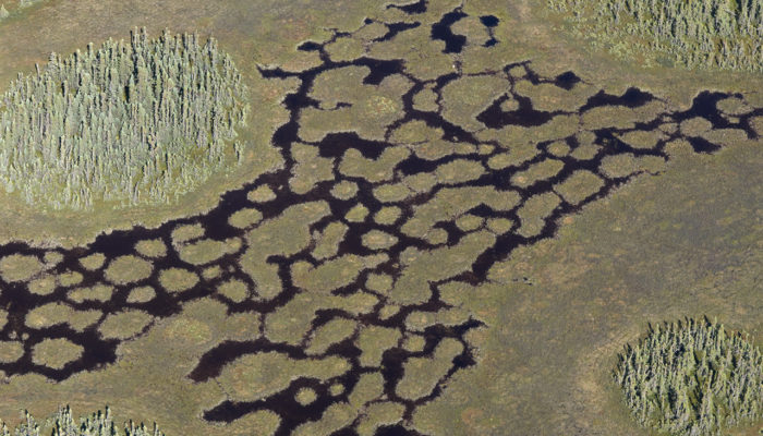
Generally the increasing frequency of landslides is one consequence of the global warming causing Permafrost thaw, more wildfires and the rapid decline of the glaciers, especially prominent in southern Alaska. From what I’ve seen from the reports and images, the changes all over the country have dramatically accelerated since our visits 21 respectively 13 years ago. Scientists say that the Alaskan tidewater glaciers melt 100times faster as previously thought – pretty shocking indeed.
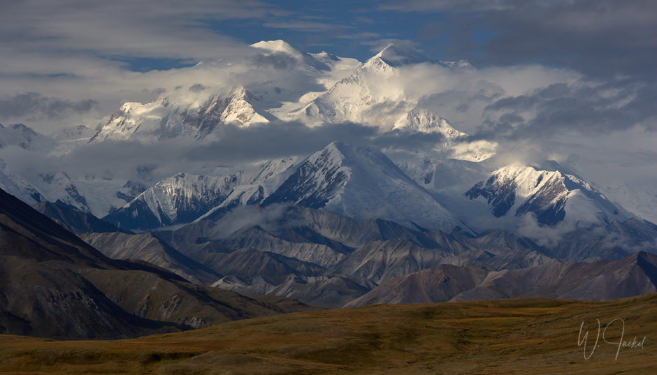
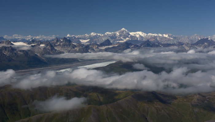
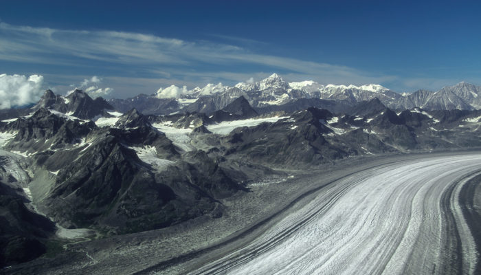
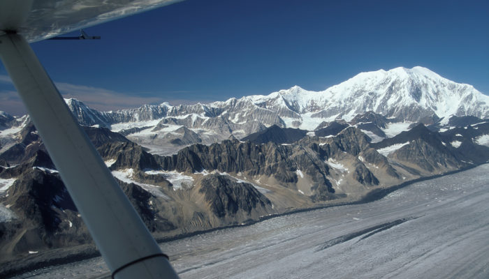
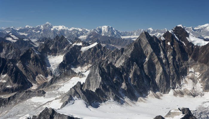
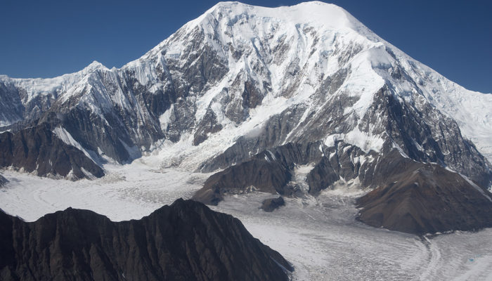
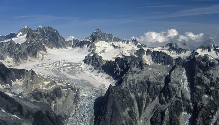
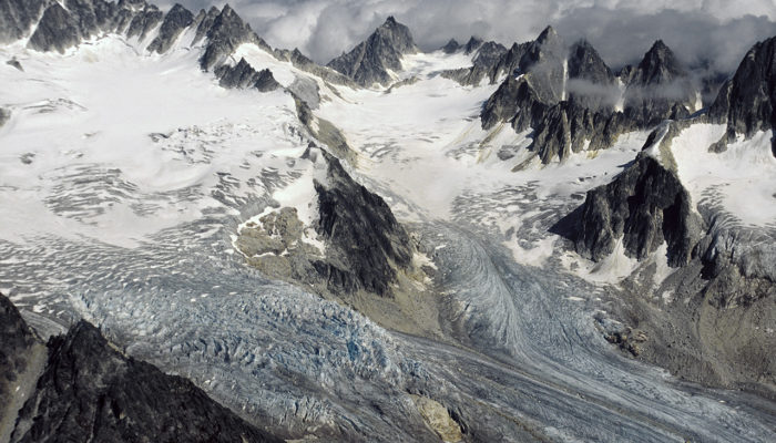
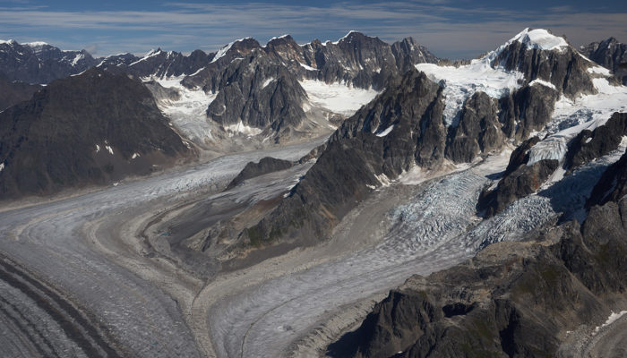
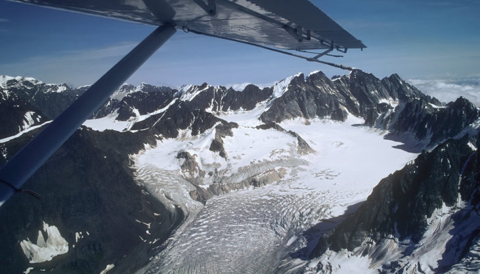
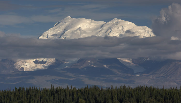
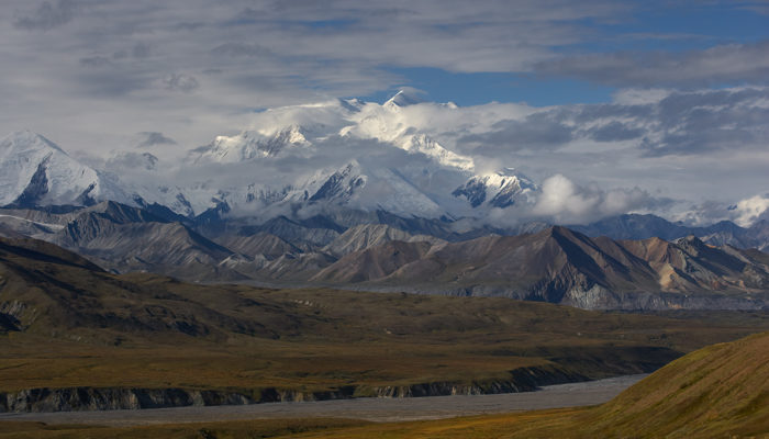
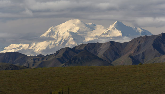
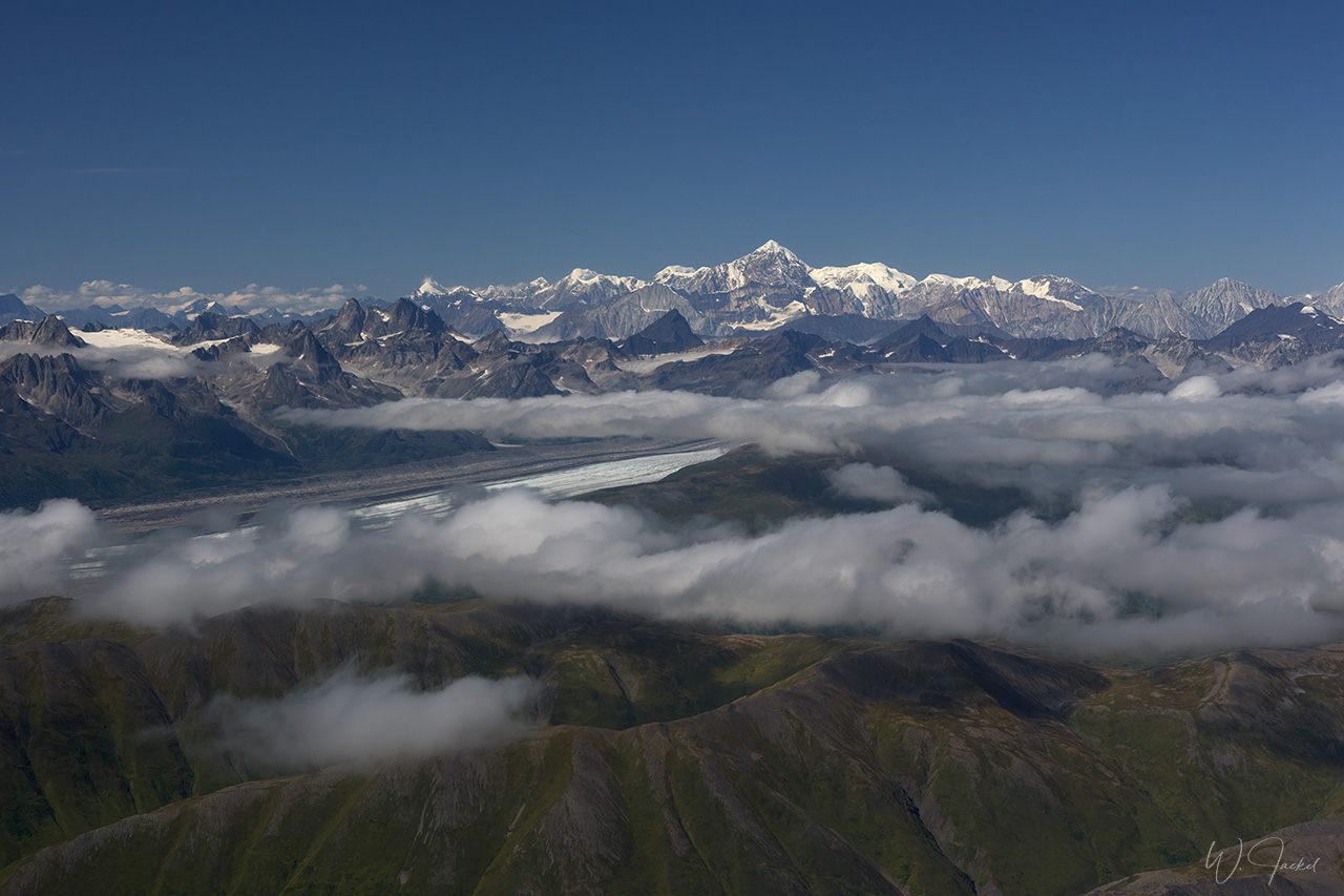
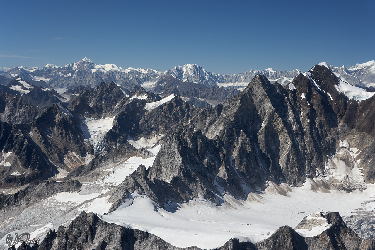
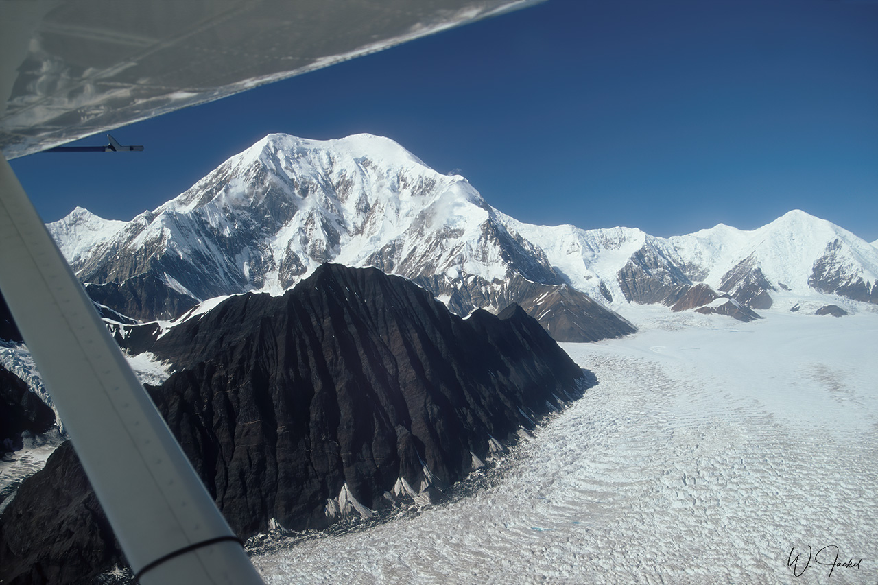
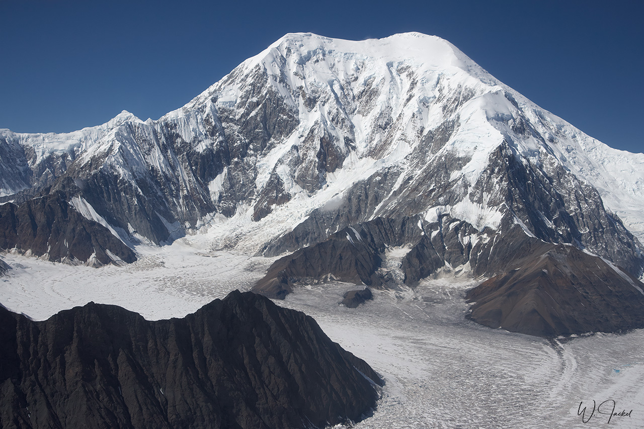
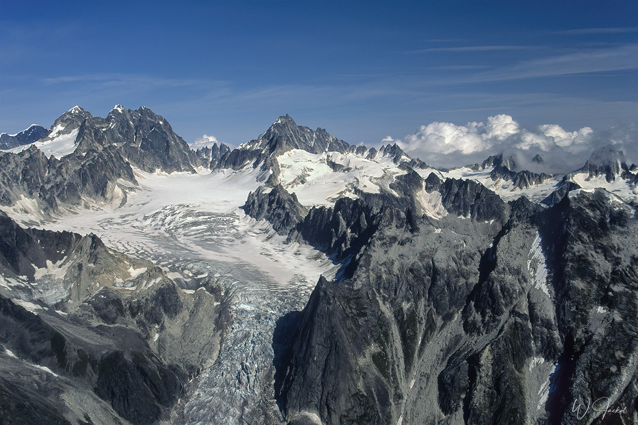
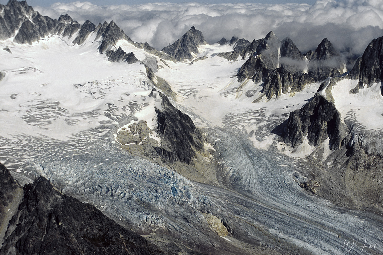
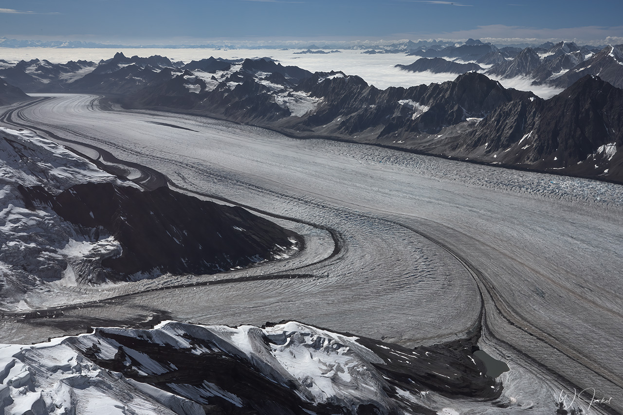
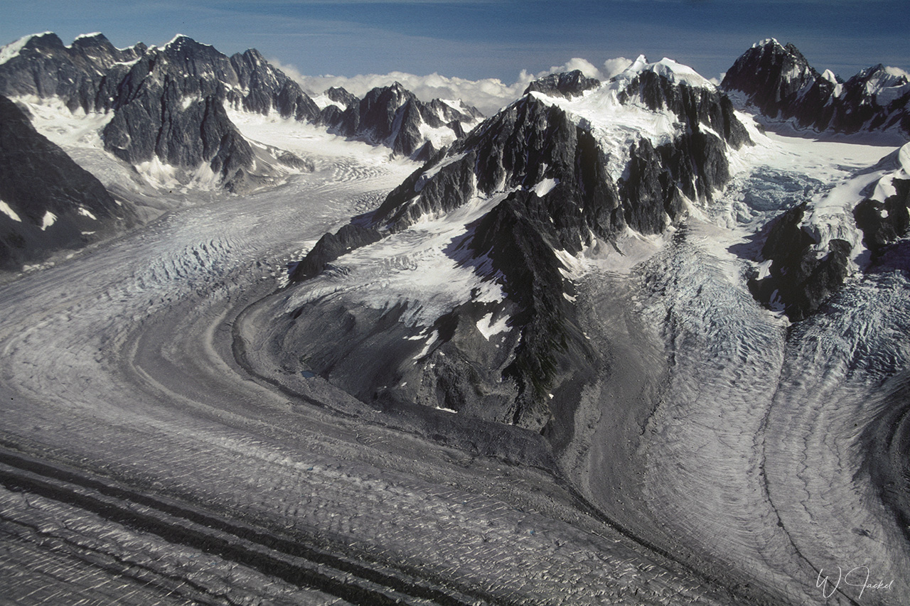
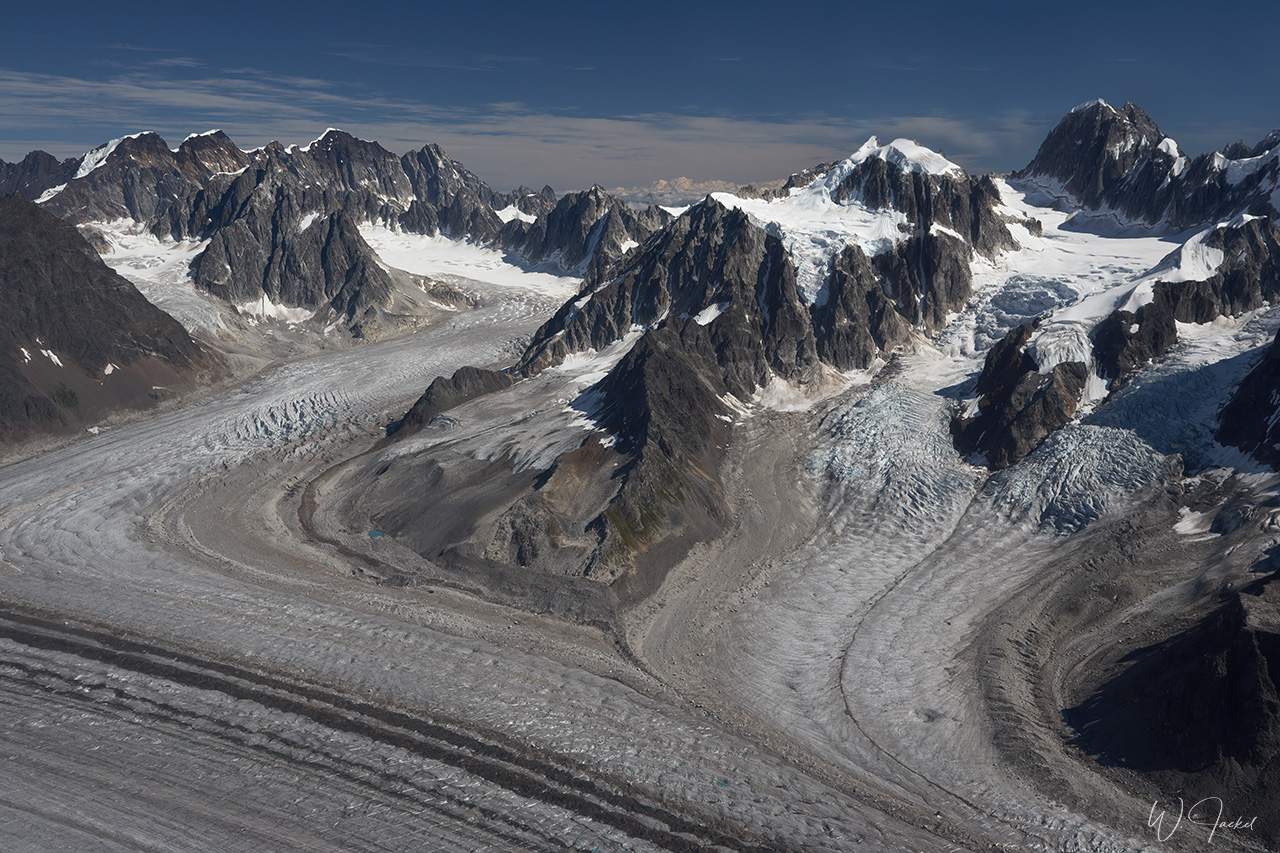
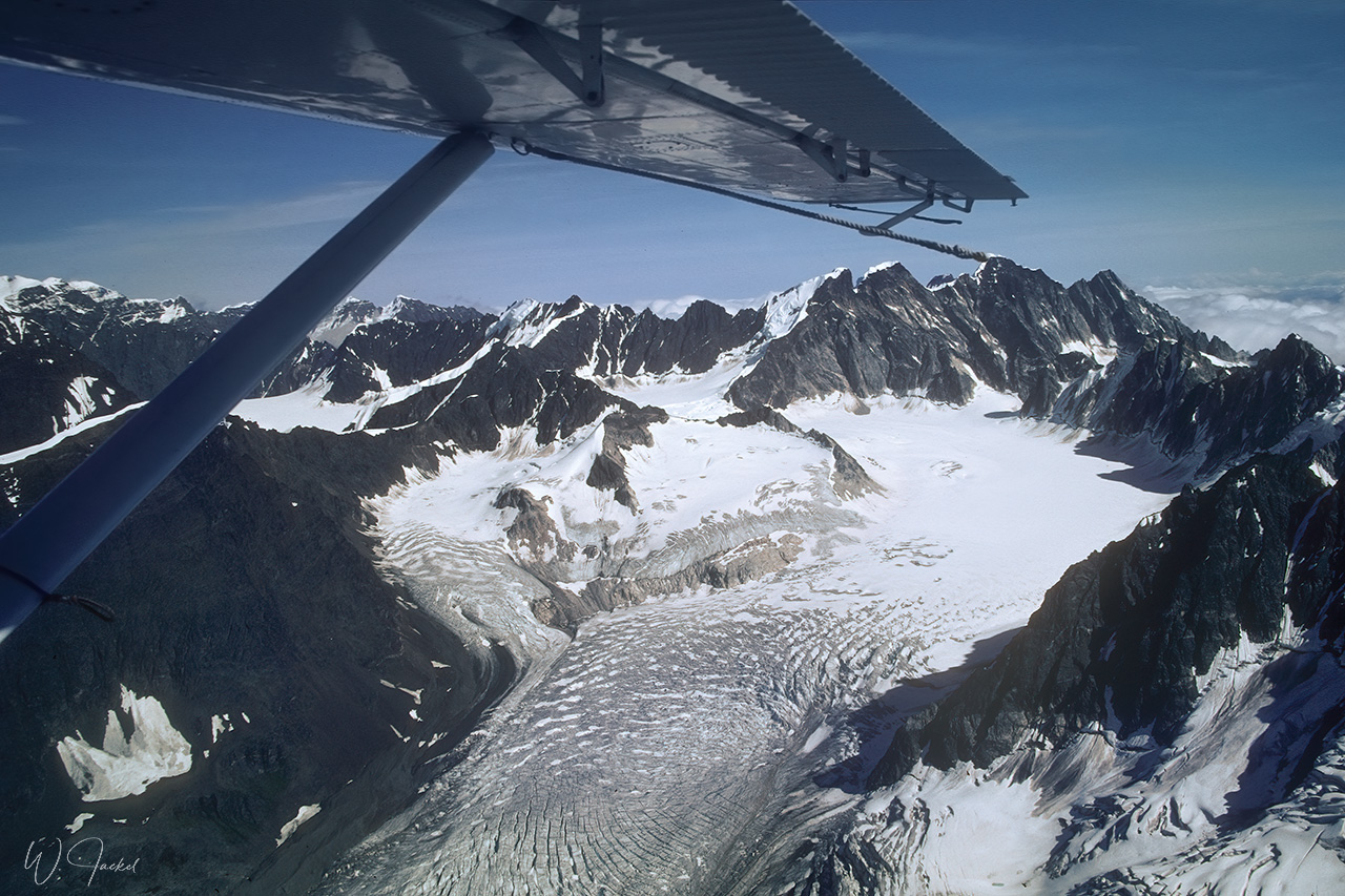
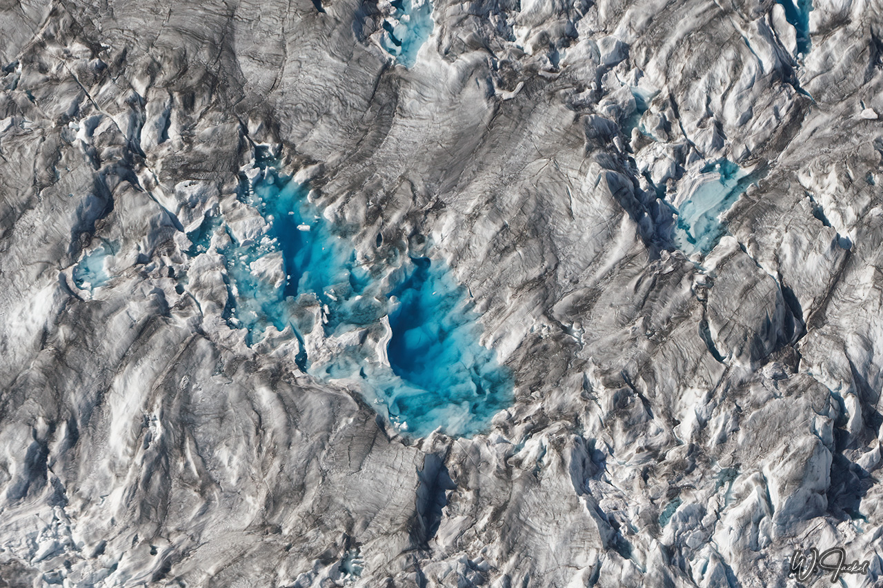
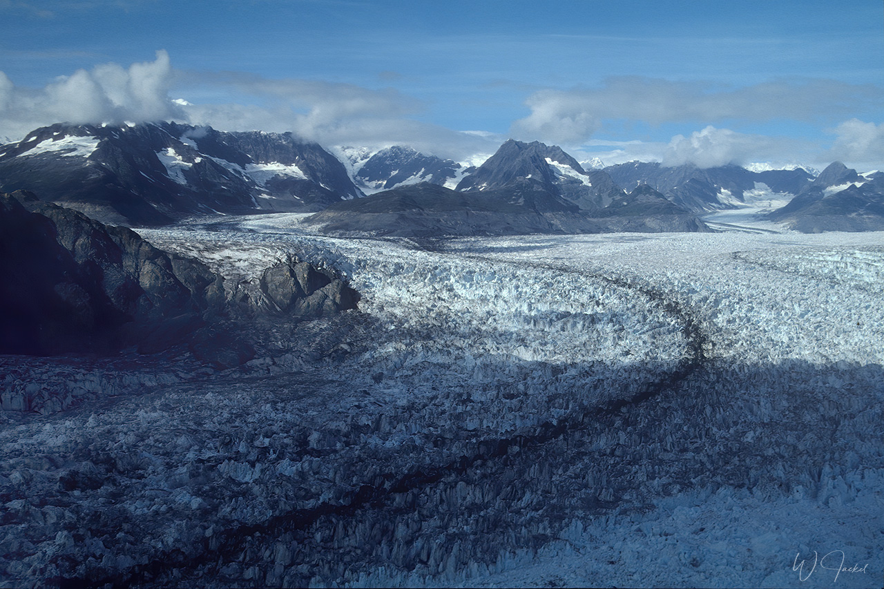
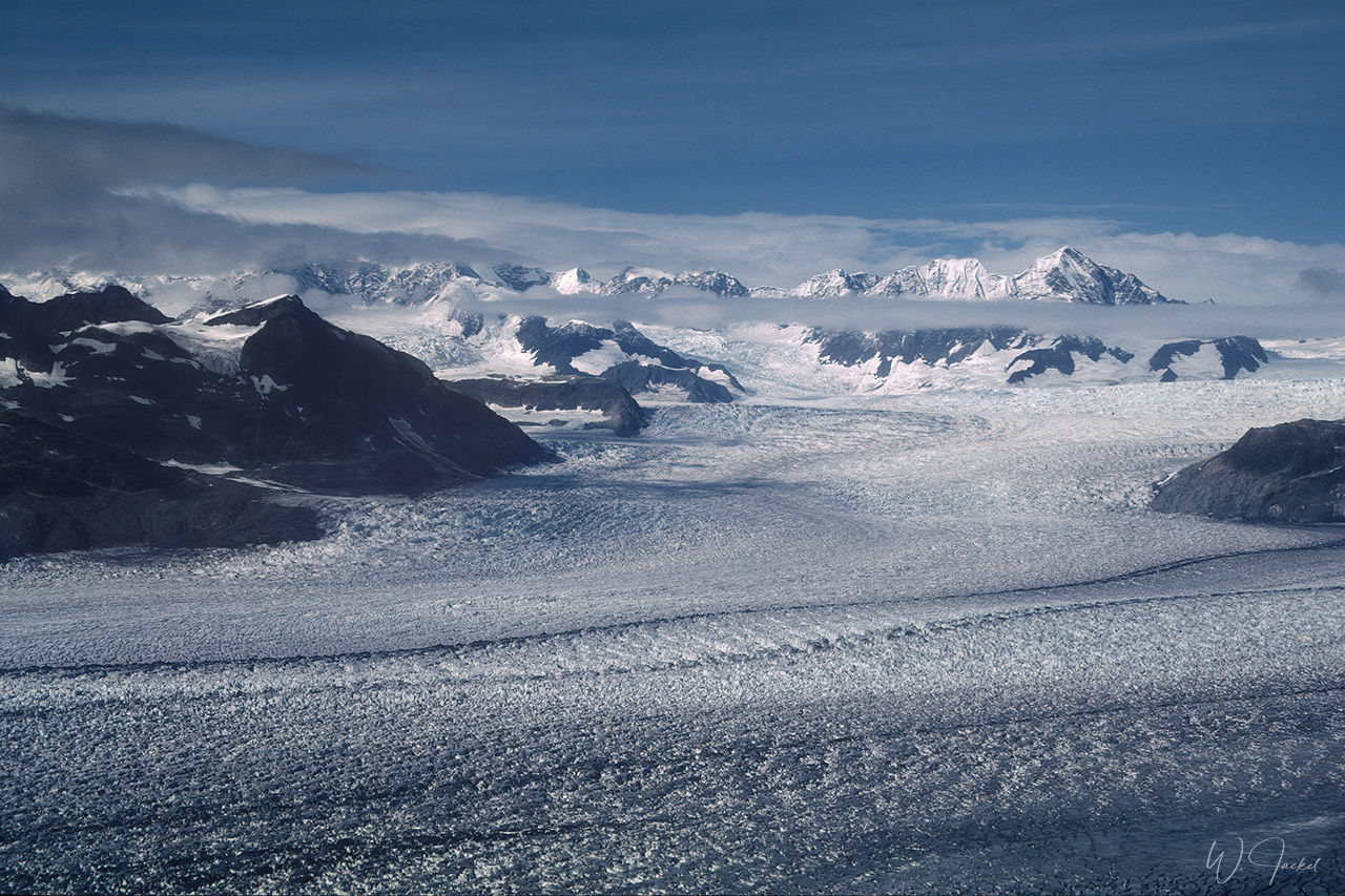
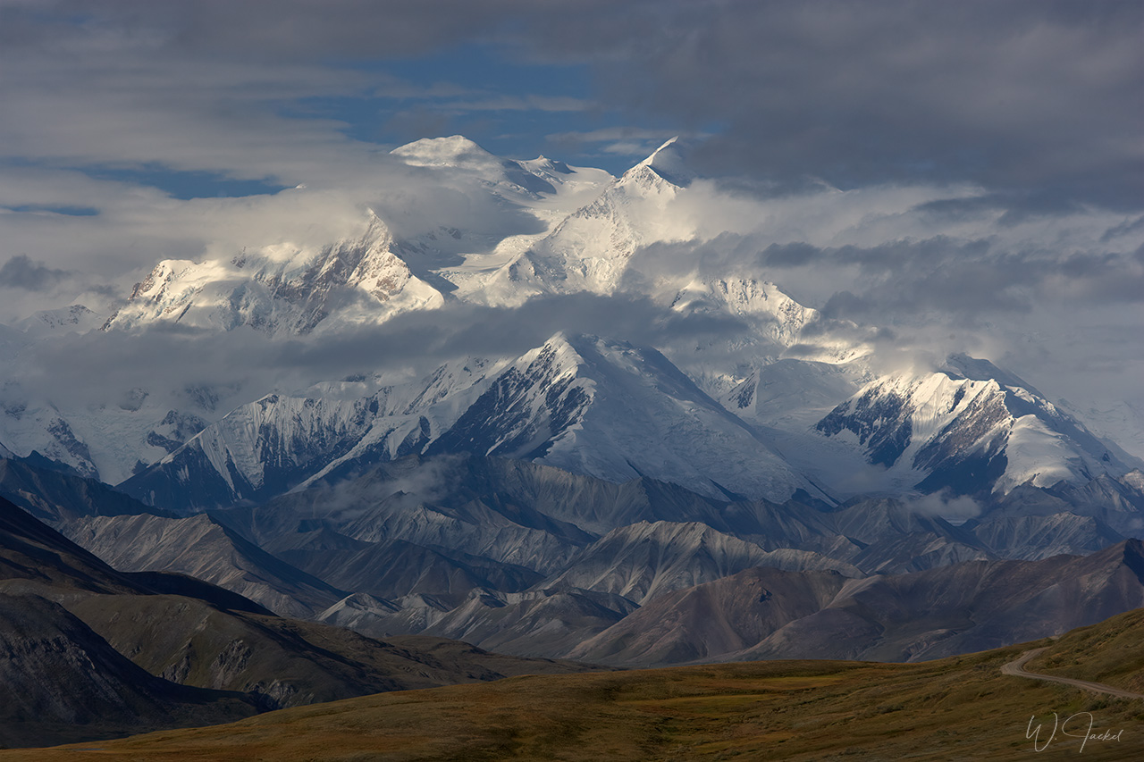
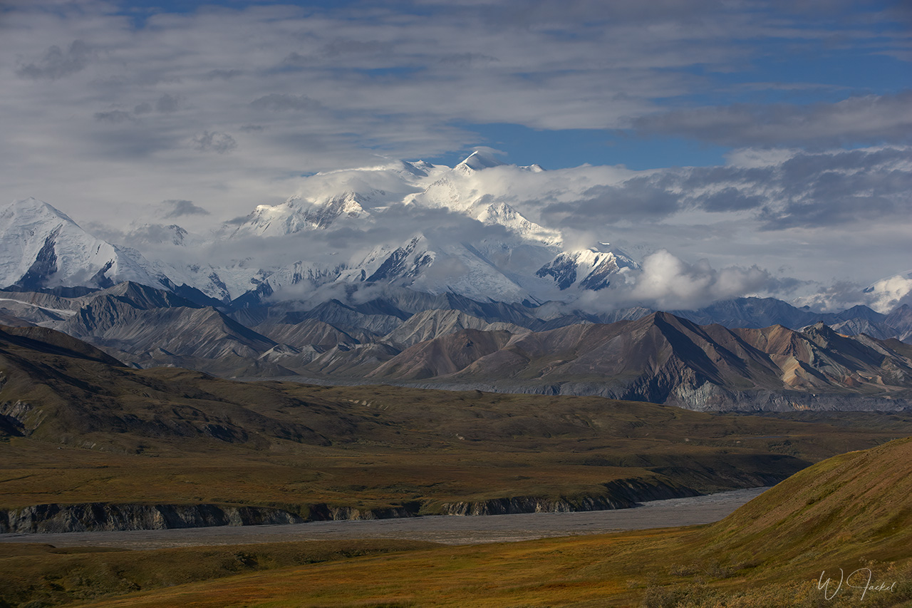
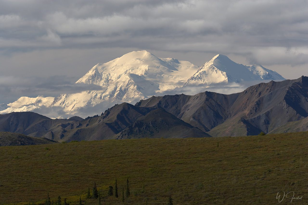
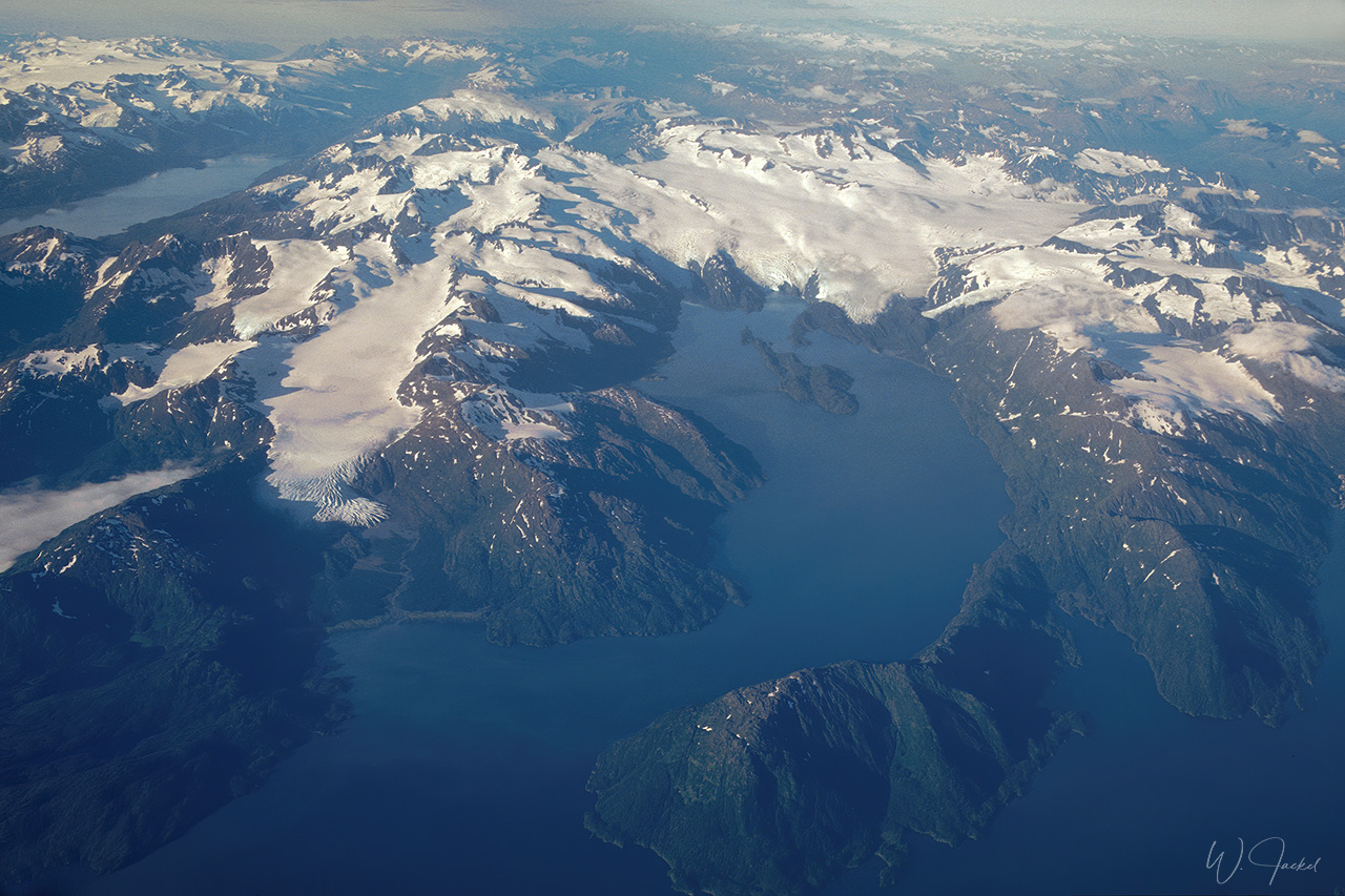
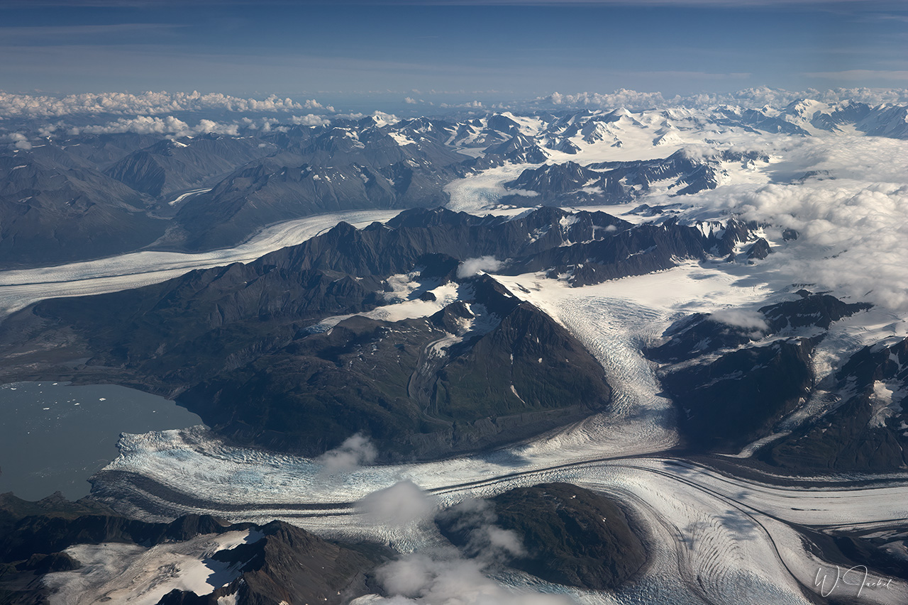
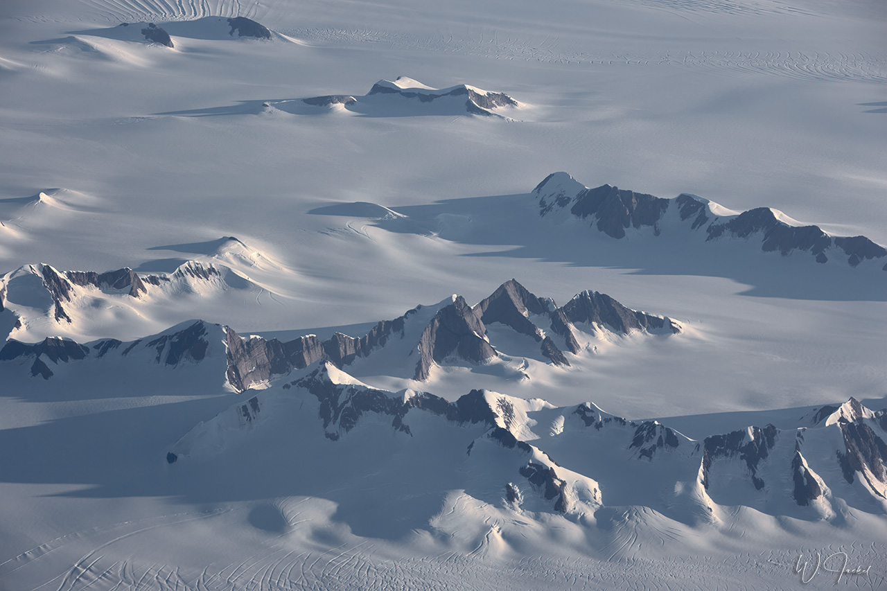
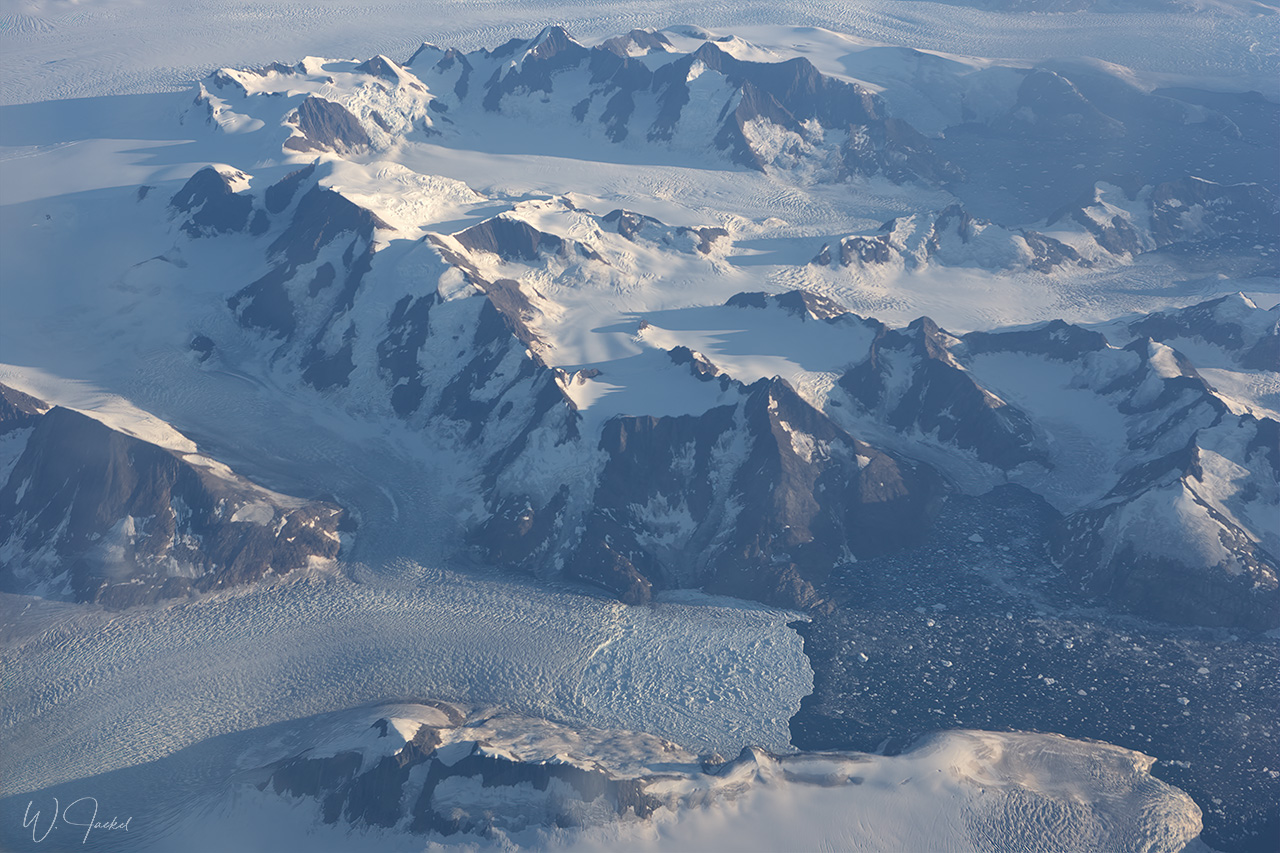
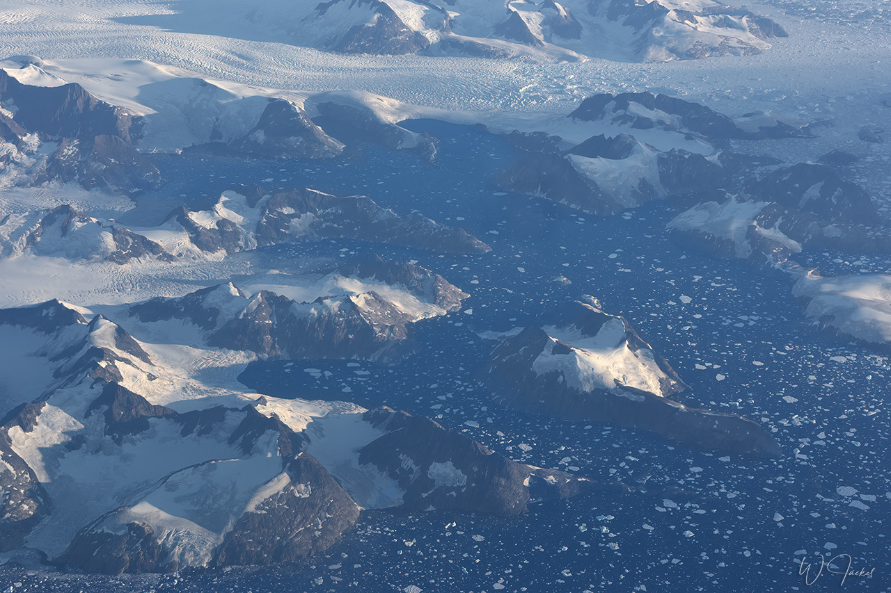
After the arrival in Anchorage, we went on a 3hours Denali Flightseeing tour starting from the seaplane base at Lake Hood (1999) respectively Talkeetna (2007). Mt Denali, the tallest peak of North America, is located about 215 km of airline-distance northwest of Anchorage in the famous Denali National park and visible from the city on clear days. By car a 4 to 5 hour drive (about 386 km) is required to get to the park. The flightseeing into the amphitheater of peaks, huge glaciers, granite walls and gorges not to mention the approach to Denali’s summit was simply breathtaking both times we did it and one of the most exciting flight experiences I ever had. But even in these high-alpine areas the changes are evident and also visible in my images from 2007 compared to those captured on the corresponding flight in 1999 (see the gallery). There are consistent pattern of ice thinning over the last 20 years, with some glaciers showing increasing rates of this development since 2008.
https://www.flyk2.com/tours/denali-flyer
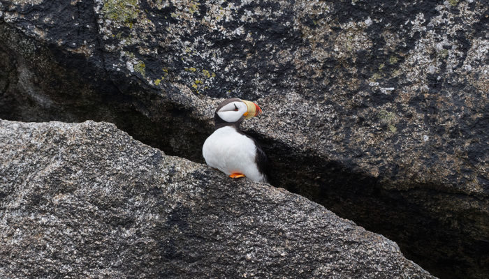
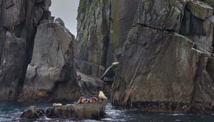
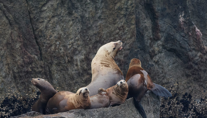
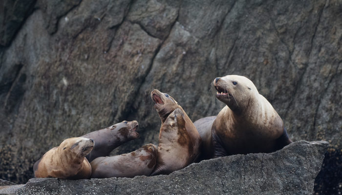
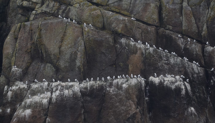
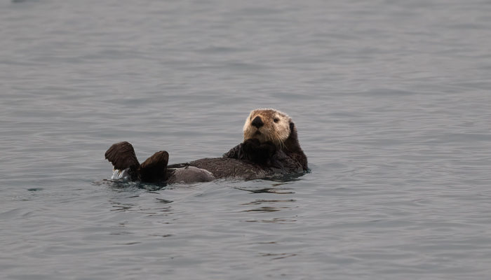
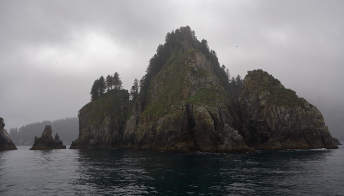
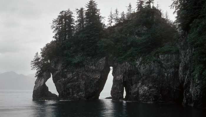
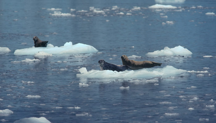
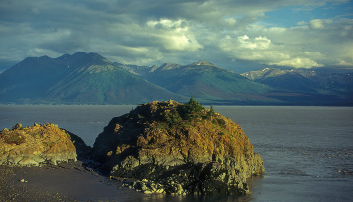
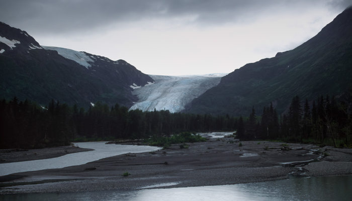
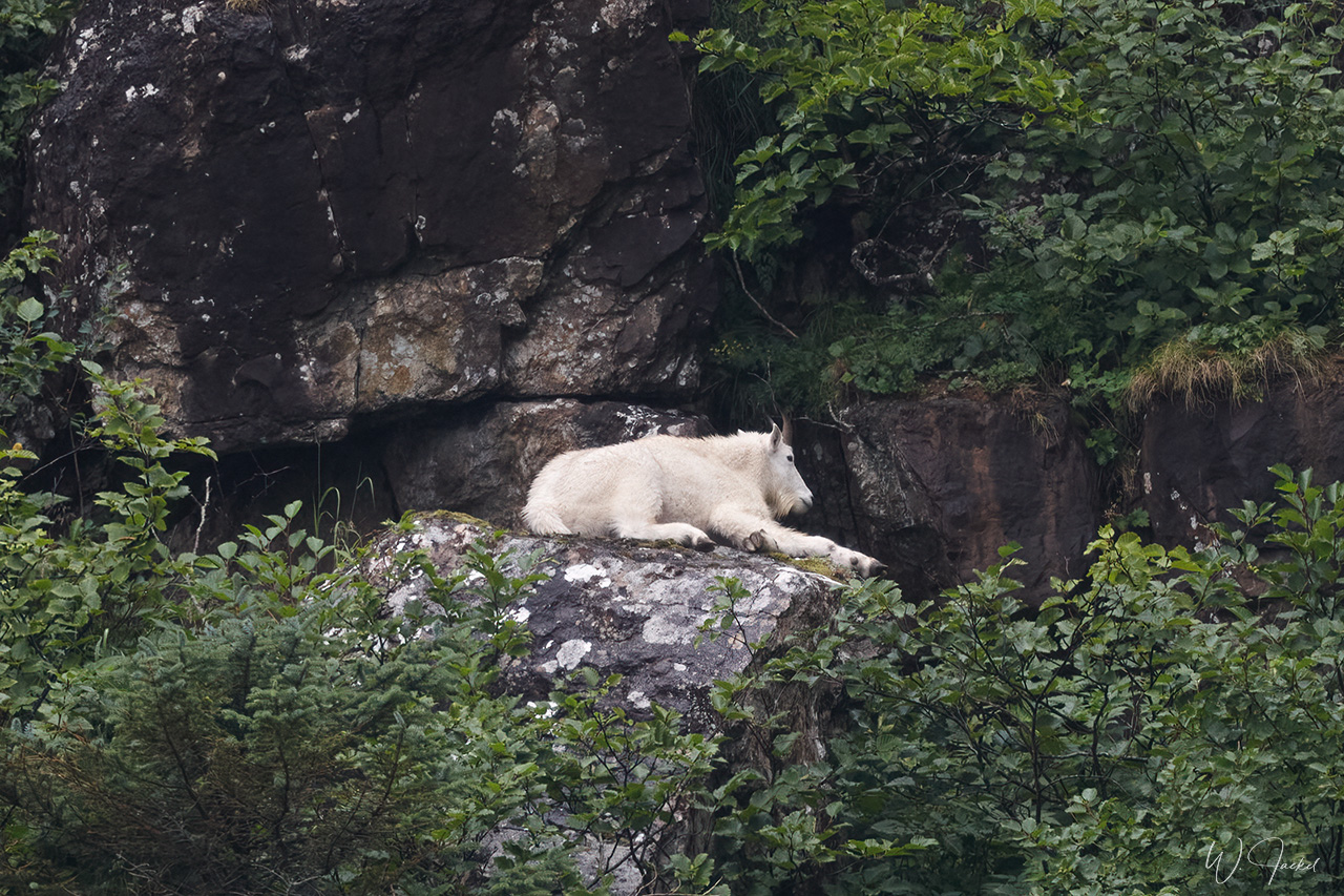
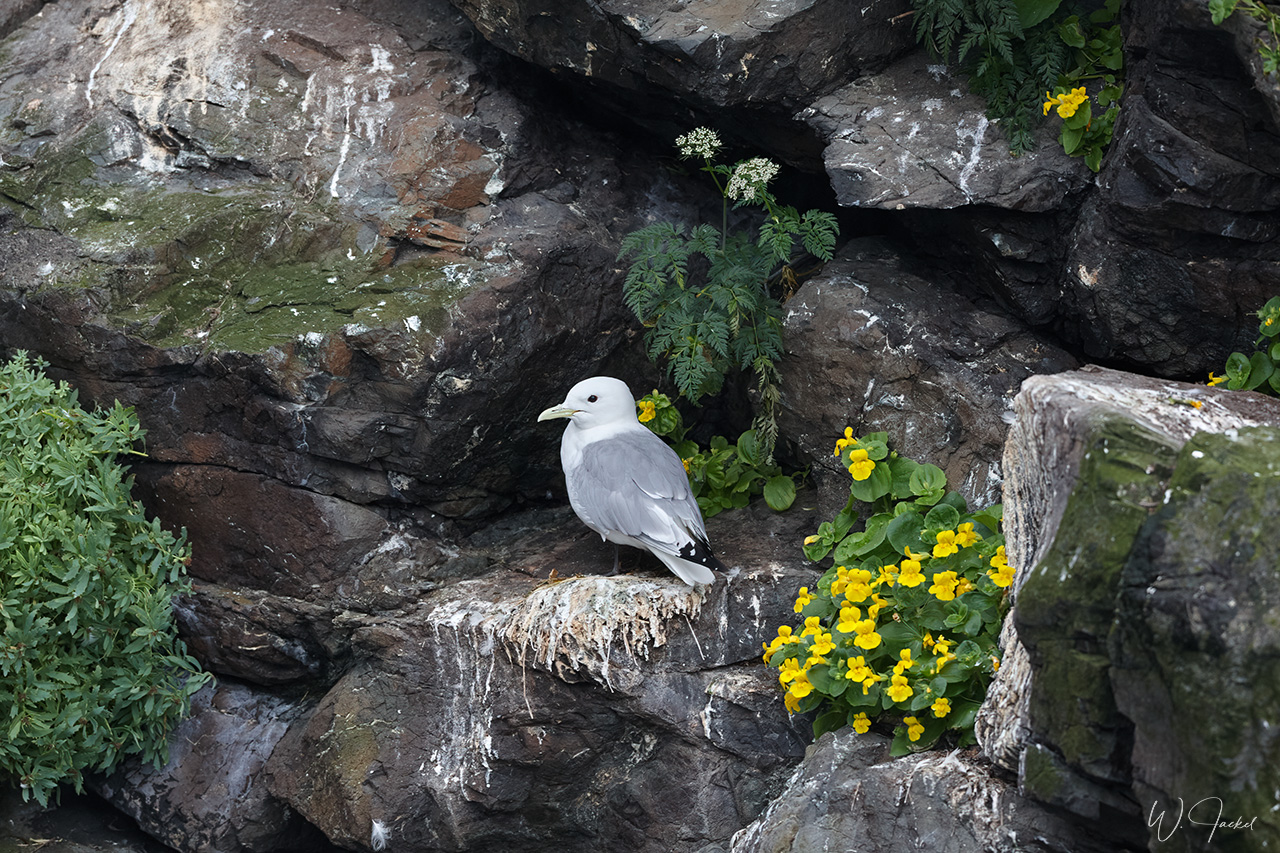
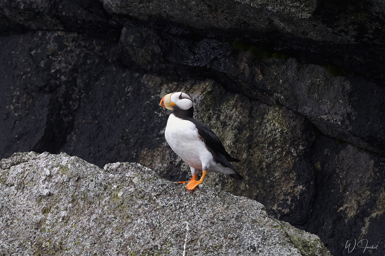
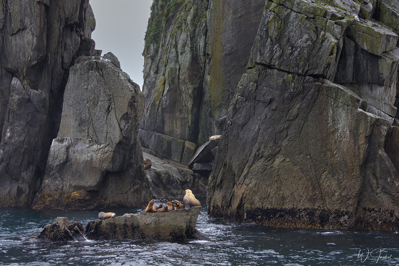
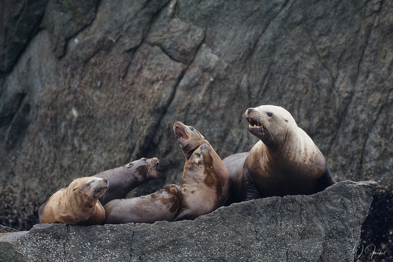
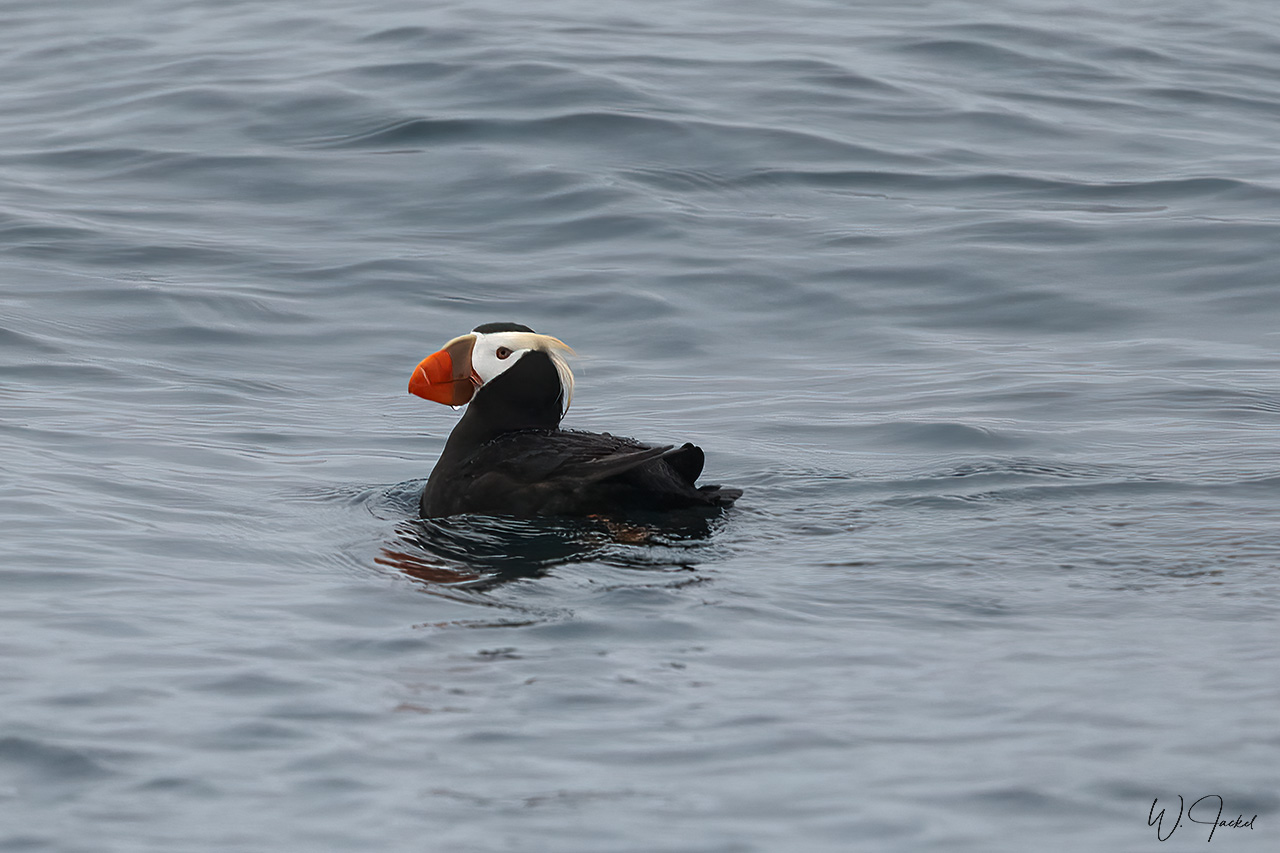
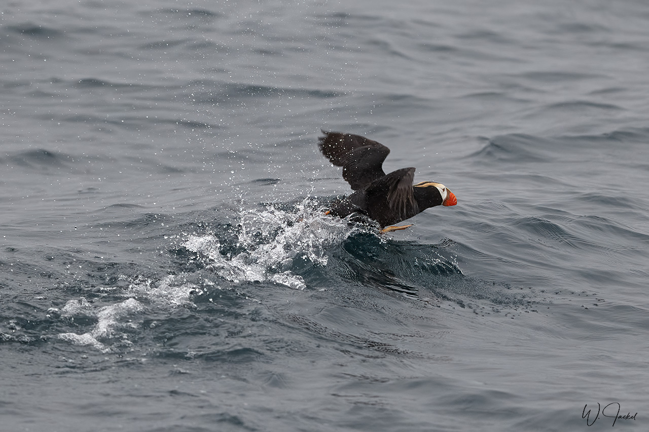
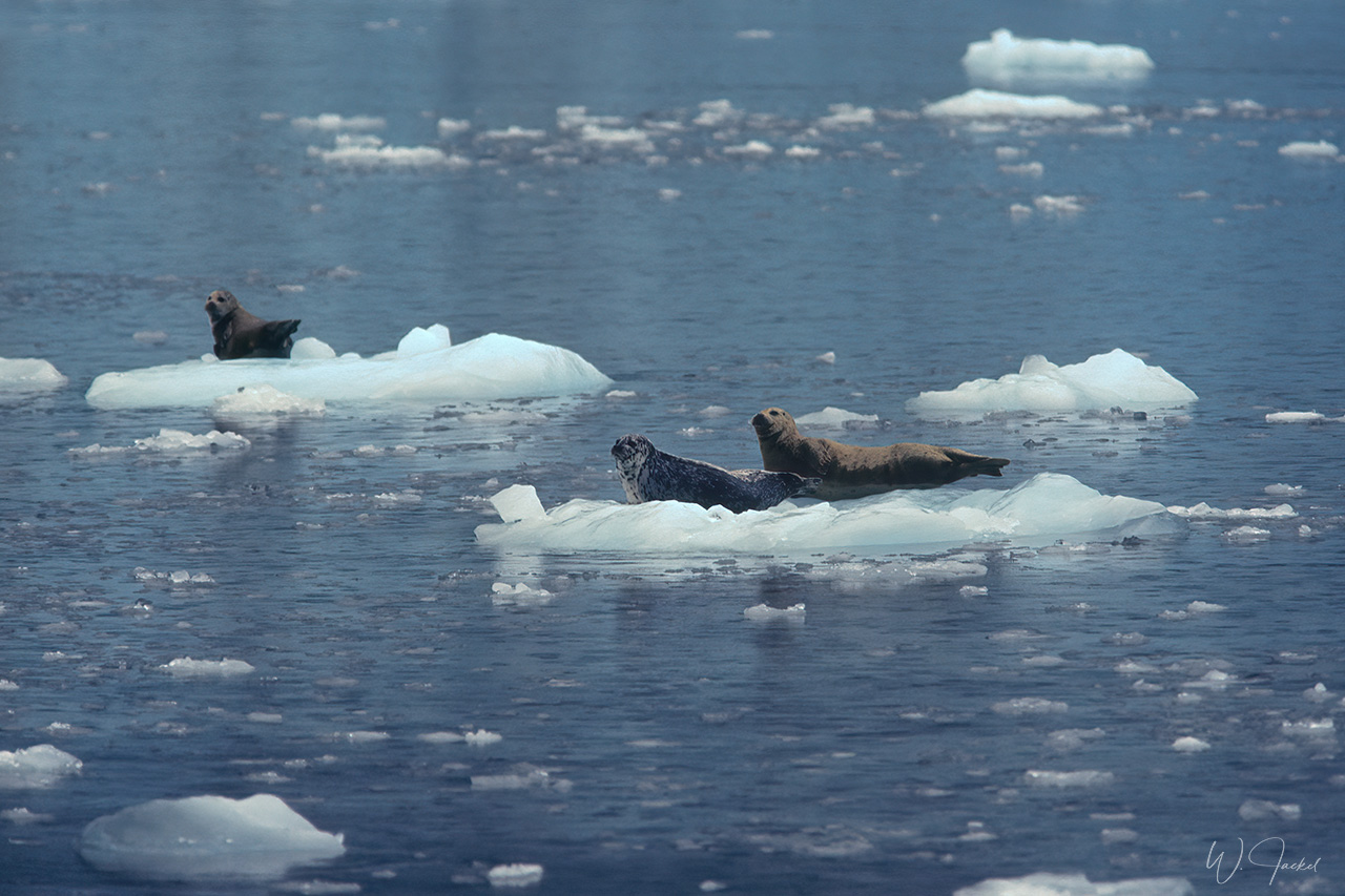
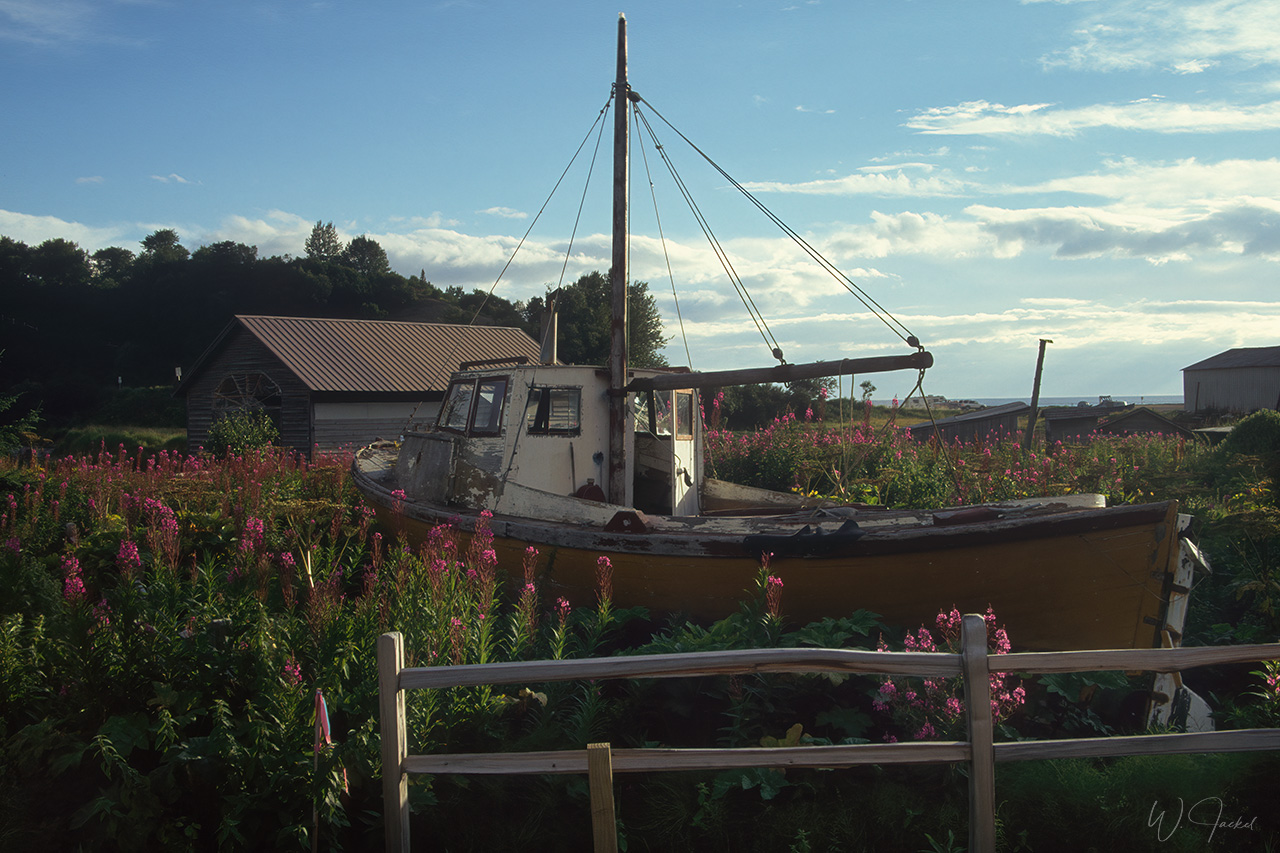
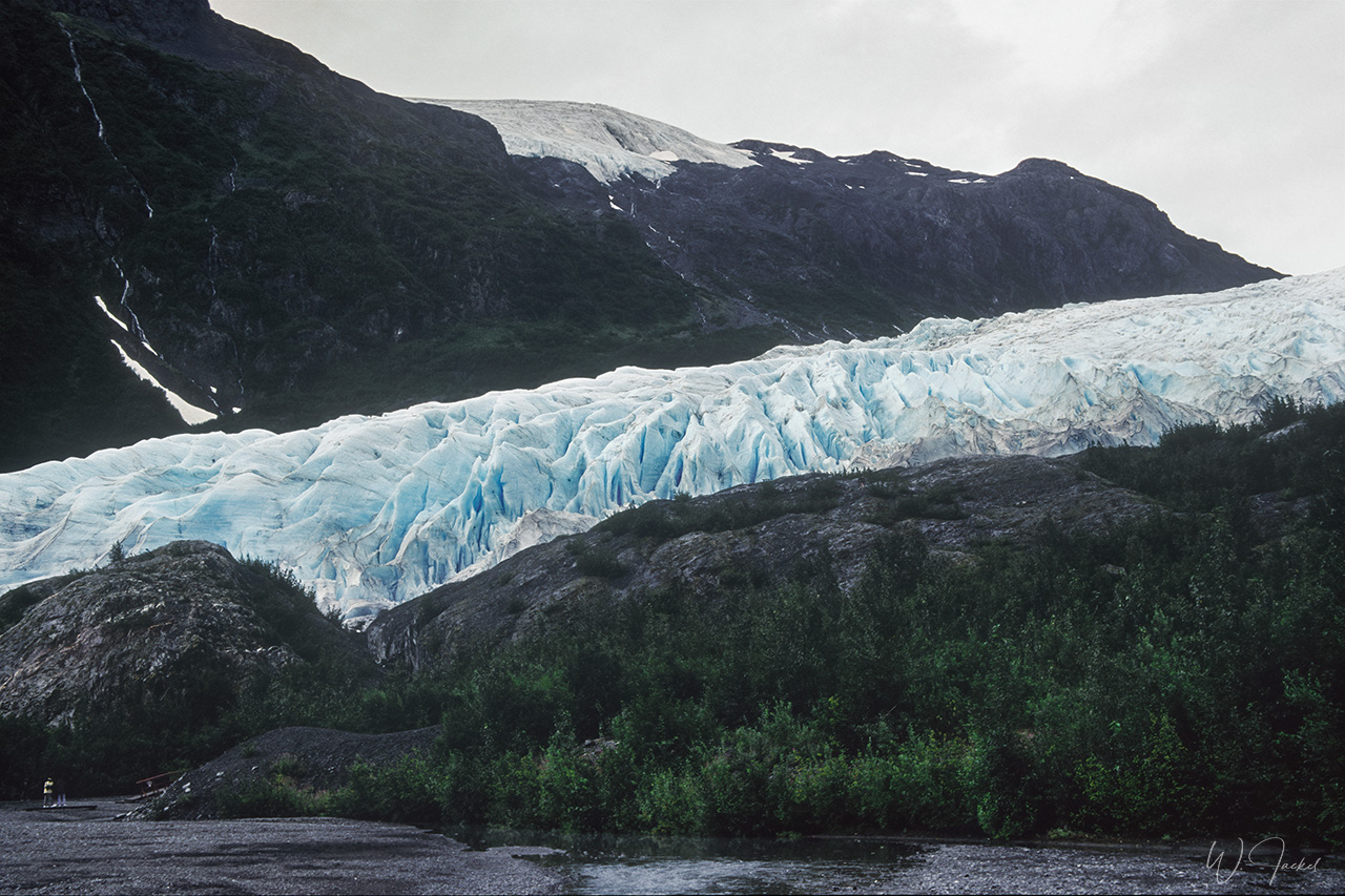
On both trips, we also drove from Anchorage to the Kenai Peninsula, which is defined by its glaciers, snow-capped Kenai Mountains and wild coastline. From Seward we took a 6 hours boat tour into the Kenai Fjords National Park, watching horned and tufted puffins, kittiwakes, Steller’s sea lions and other wildlife. The tour also included an approach to the Holgate Glacier, which is a mountain and tidewater glacier and still was a popular destination to see the calving back in 1999 and 2007. But as almost all Alaskan glaciers it has been retreating considerably since then. Unfortunately, the weather was pretty rainy on both times we were there – quite normal in this area of southern Alaska, though. On the way back we visited the scenic Portage Glacier, a popular attraction around 95 km from Anchorage, located at the identically named lake.
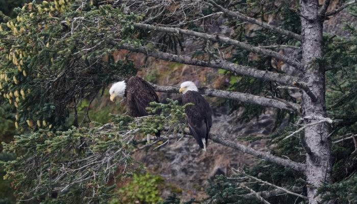
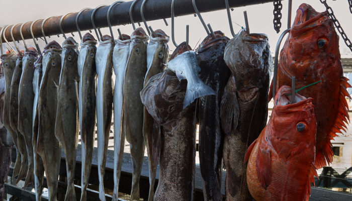
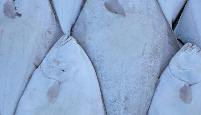
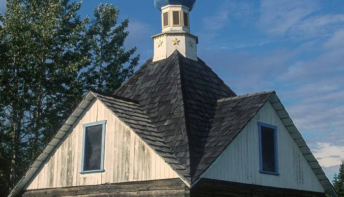
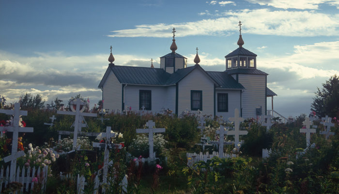
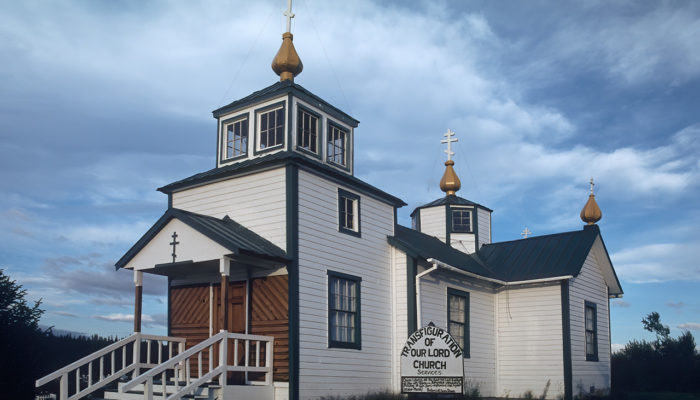
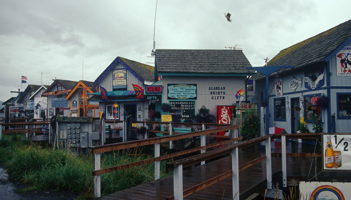
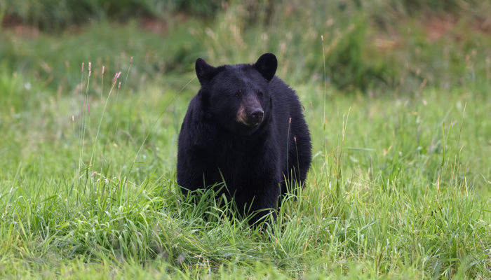
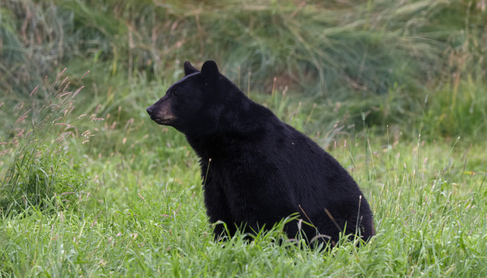
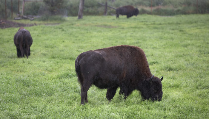
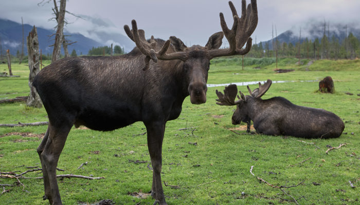
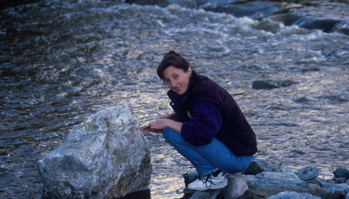
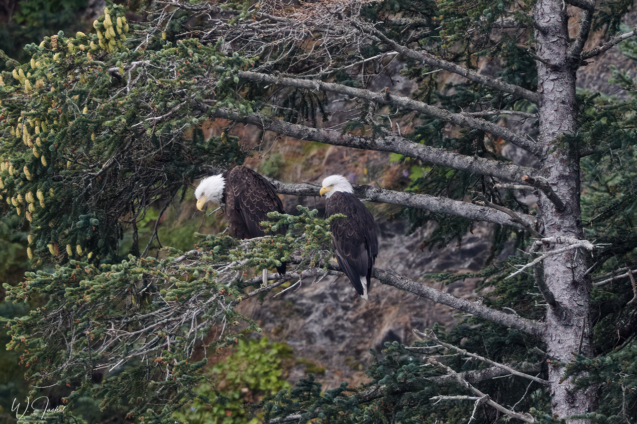
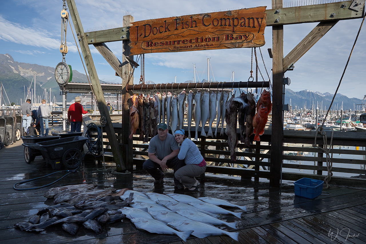
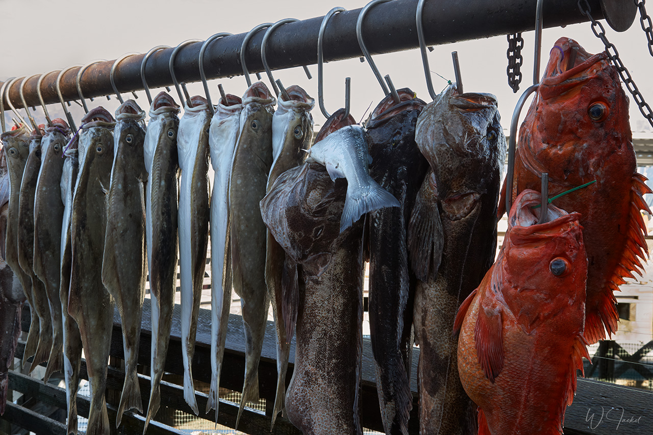
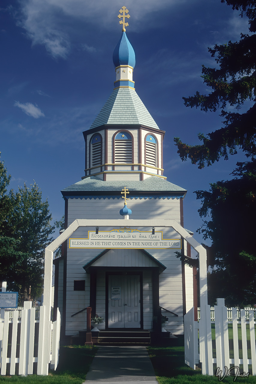
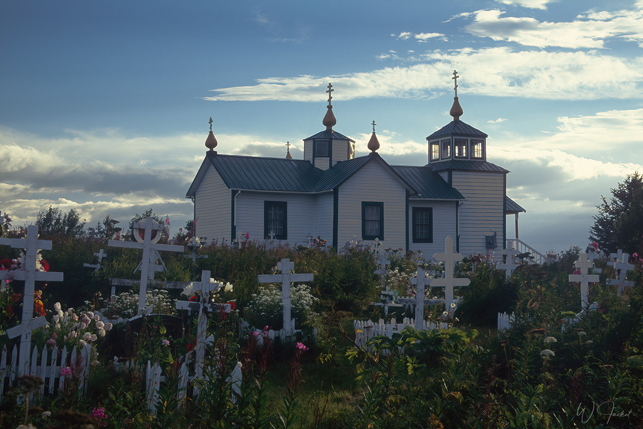
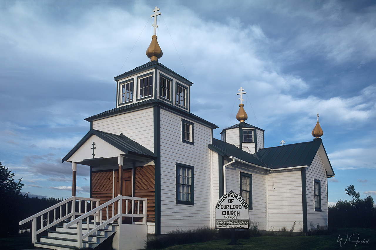
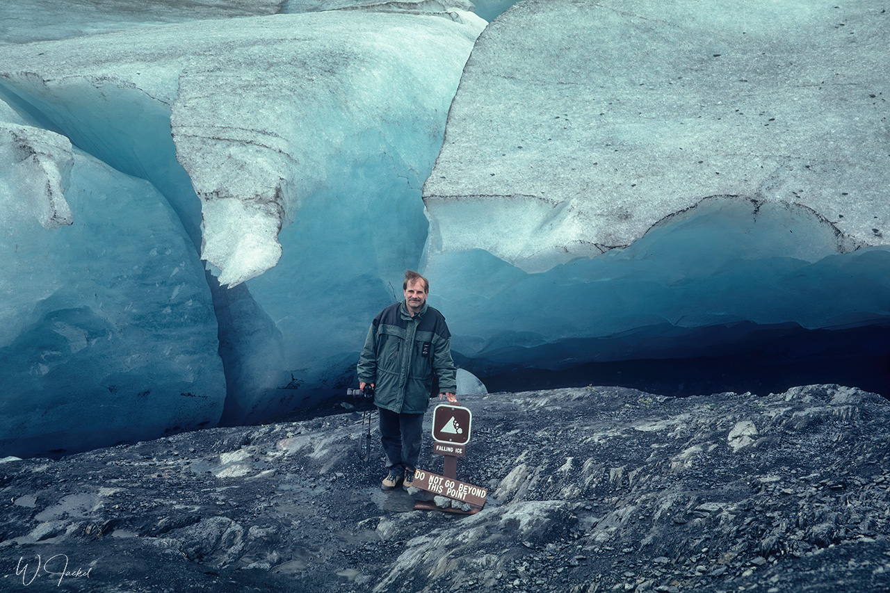
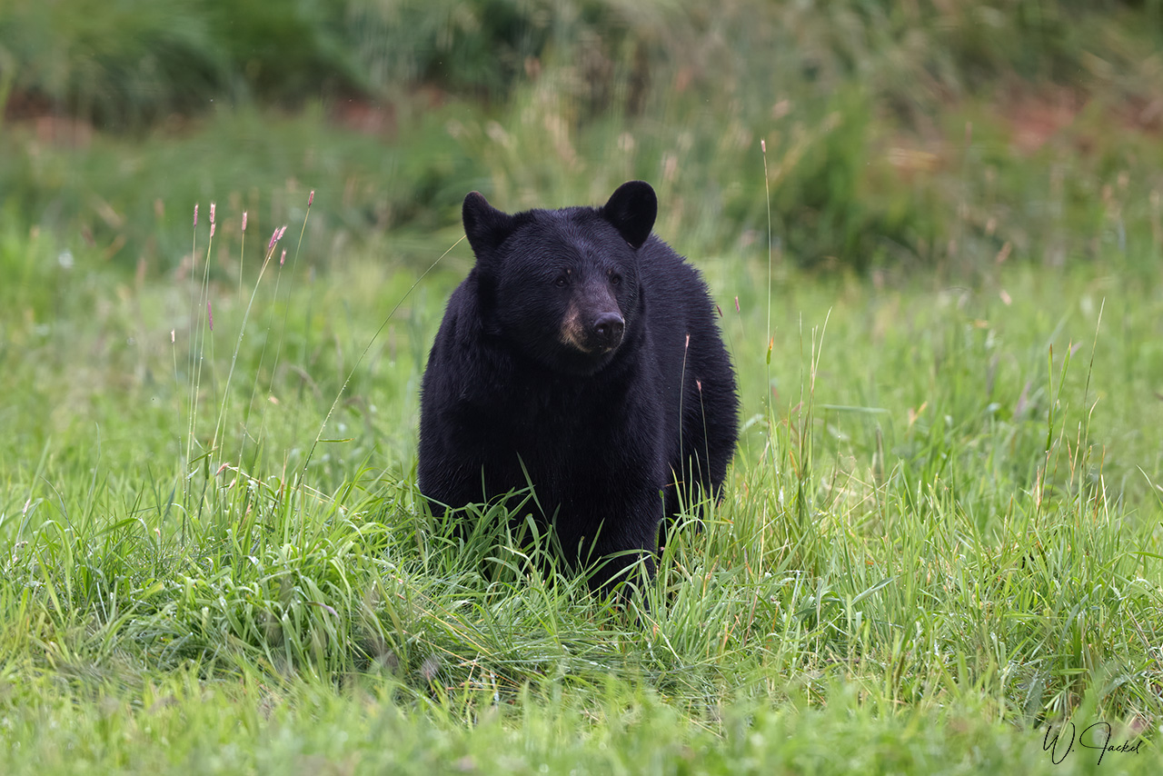
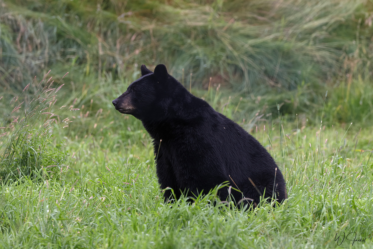
Other points of interest on the peninsula were the Kenai Wildlife Refuge for photographing black bears, moose and bisons, the Russian orthodox churches in Ninilchik and Homer at the Cook Inlet, a major fishing destination which is called the “Halibut capital”. The Homer Spit headland is a known place to encounter bald eagles. In 1999 we also had visited the Exit Glacier, one of 38 glaciers spilling down from the Harding Icefield and one of the most visited sites of Alaska. It is the only glacier of Kenai accessible by car and a one-mile trail from the parking area. That said, the retreating Exit Glacier has become an icon of climate change. From the maps and reports I’ve seen, the glacier terminus has receded around 465m between 2000- 2015 and shocking 762m in the period from 2004 to 2019. In 2016 it shrank by nearly 91 meters in a single year but now retreats 10-15 feet (3 to 4,5m) per day ! (watch https://www.youtube.com/watch?v=HjLXLmlEmsw from 1:00) That’s really sad. As of 2020, the toe of the glacier is not accessible anymore and the entry into the remote zone of the terminus is prohibited because of the risk of ice and rock fall. At this point the photograph of me standing in front of the glacier toe in 1999 (see the image in the galley) certainly is kind of a “historic” document.
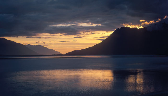
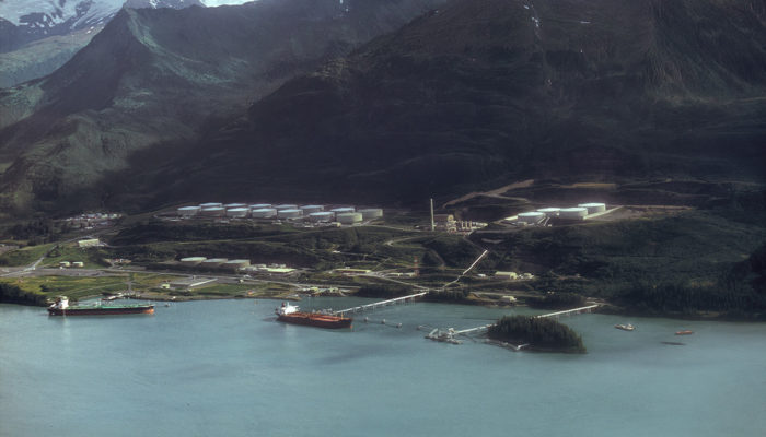
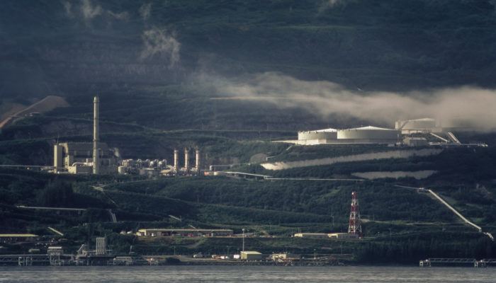
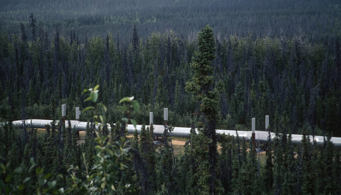
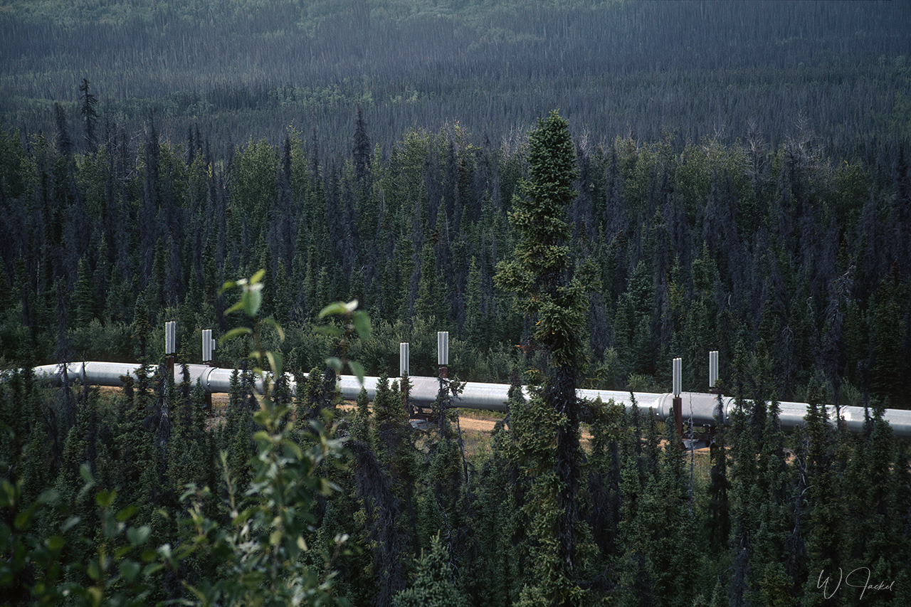
In 1999 we travelled from Seward via ferry through the Prince William Sound to Valdez, the so-called little Switzerland, surrounded by the Chugach Mountains. Valdez has the northern most ice-free port in the U.S and is most known for the southern terminus of the famous Trans Alaska Oil Pipeline coming down 1280 km from the Prudhoe Bay on the coast of the Arctic Ocean. Prudhoe Bay covers the largest oil field of North America, measuring approximately 15 by 40 miles and producing nearly 1 million barrels (159 Mio liters) of crude oil per day. At the Valdez Marine Terminal and facility, the oil is stored in 14 tanks holding a capacity of 7.14 Mio barrels and then loaded onto huge oil tankers shipping it to the refineries. It was pretty impressive to see the area. That said, Valdez also achieved sad fame through the Exxon Valdez disaster on March 24, 1989, when the so-named oil tanker struck the Bligh Reef and spilled 11 million gallons (approx.. 41,6 million liters) of crude oil into Alaska’s Prince William Sound. It was the worst oil spill in U.S. history until the Deepwater Horizon oil spill in 2010. The Exxon Valdez oil slick covered 2000 km of coastline and killed hundreds of thousands of seabirds, otters, seals and whales. We still could see the signs of the disaster during our sightseeing flight described below and even 30 years later, pockets of crude oil remained in some locations.
On March 27, 1964, Valdez was struck by the largest earthquake ever to hit North America. This “Good Friday Earthquake” was the second-largest earthquake ever recorded, measuring 8,4-8,6 on the Richter scale and second only to Chile in 1960. The epicenter of this awesome quake was a mere 45 miles west of Valdez causing huge earth slides into the Valdez Bay. 31 Valdezeans lost their lives. Afterwards, the ground under Valdez was determined to be unstable and it was decided to move the location of Valdez to a new townsite. We still could see many traces of the earthquake in the area.
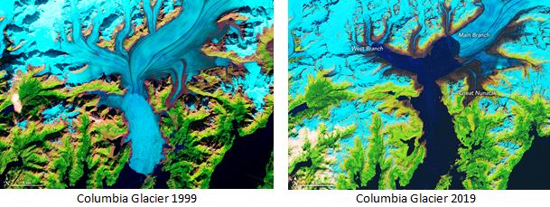
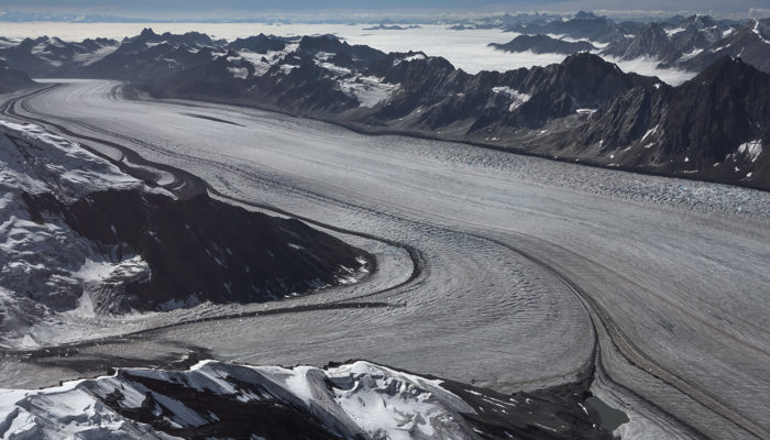
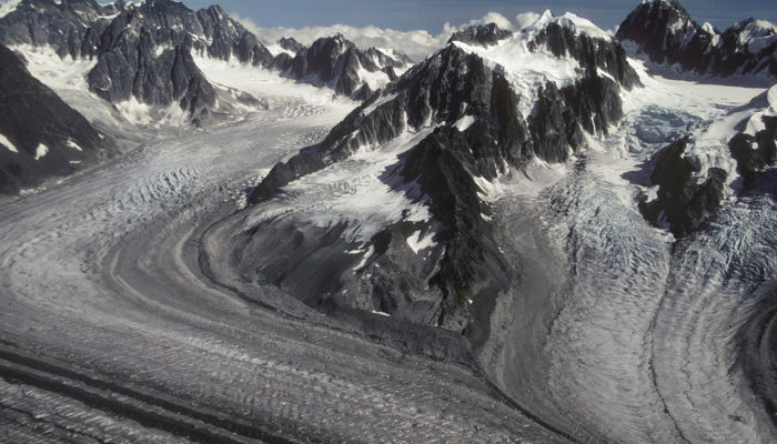
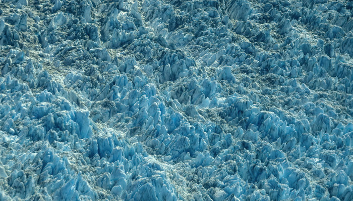
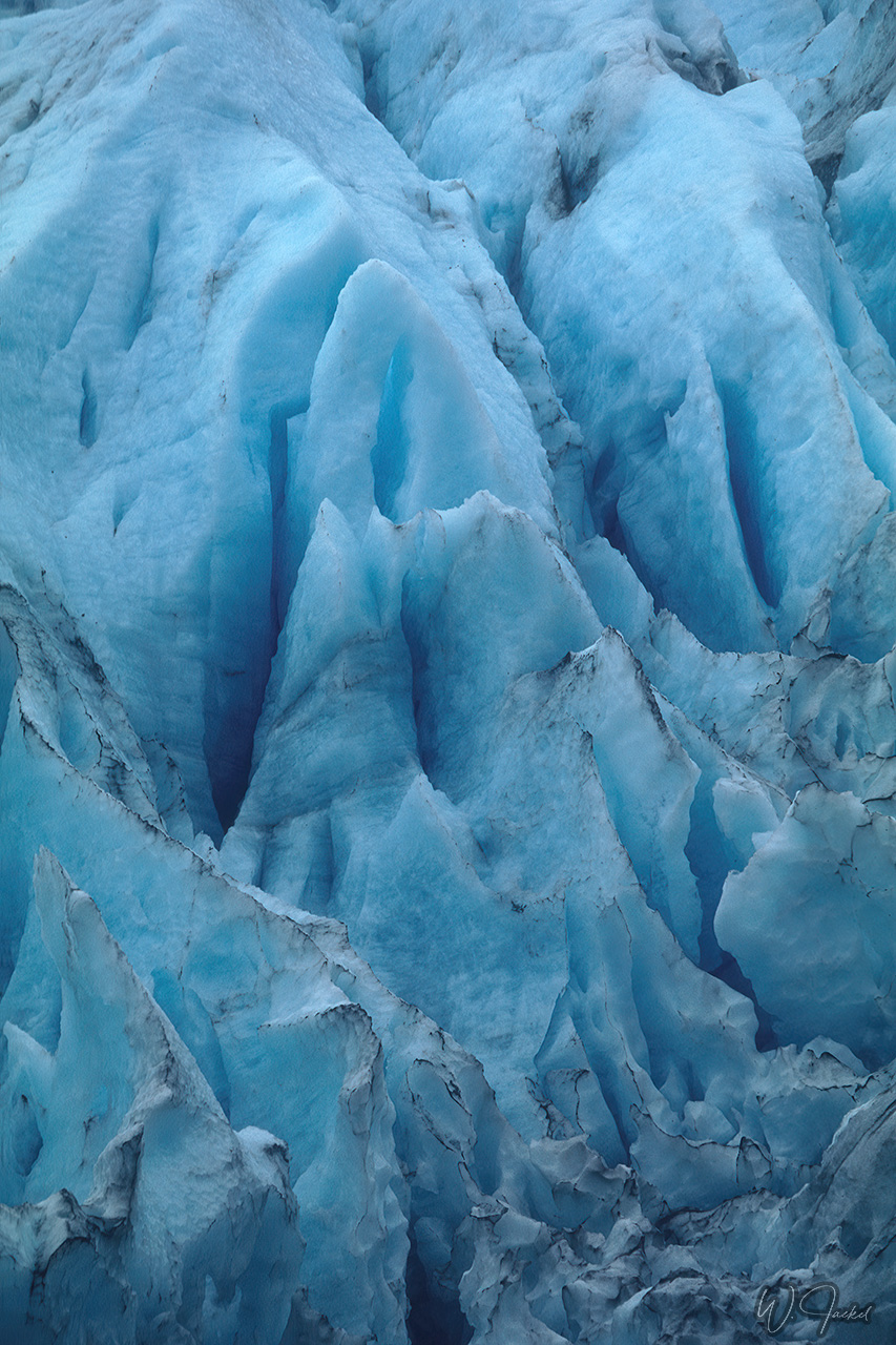
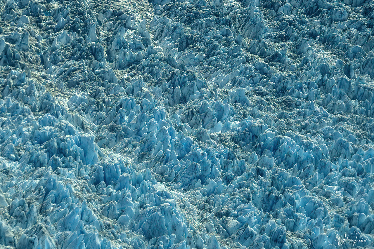
We also took a sightseeing flight around Valdez and over the impressive Columbia Glacier, the second largest tidewater glacier in North America and the largest in Prince William Sound. Moving 2m/day, it’s also one of the fastest moving glaciers in the world. From 1980 to 2014 it has retreated 20 km and lost up to 500m of thickness resulting in a loss of half of its volume in the past 25 years. This one glacier meanwhile accounts for nearly half of the ice loss in the Chugach Mountains. In 2011 the shrinking caused the division of the glacier into two parts the toes of them now lying already 6km apart from each other.
see Animation at https://earthobservatory.nasa.gov/world-of-change/ColumbiaGlacier
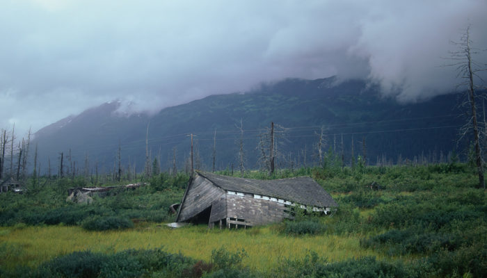
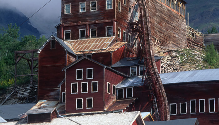
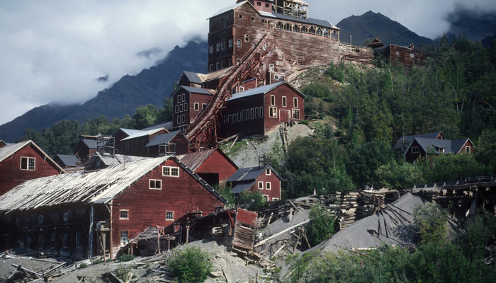
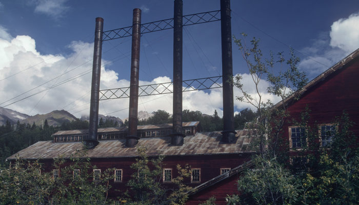
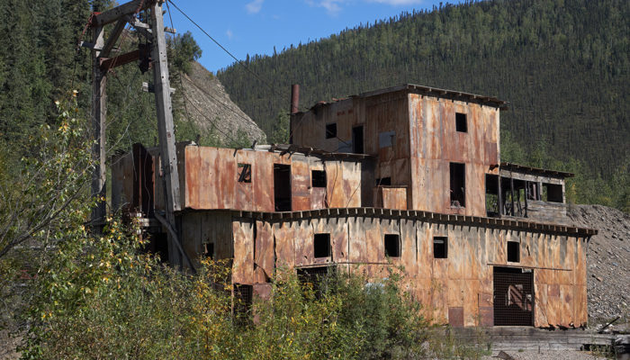
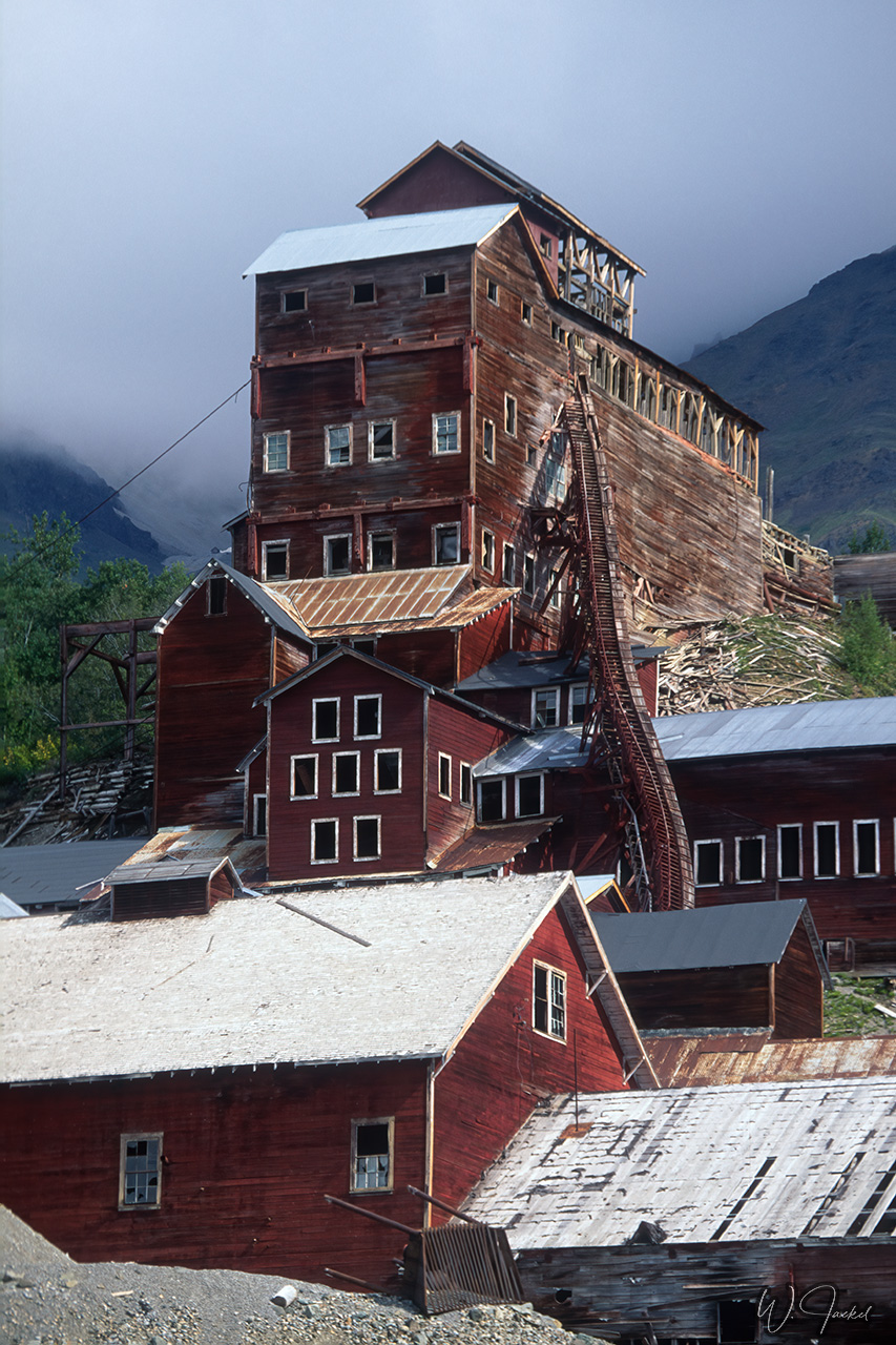
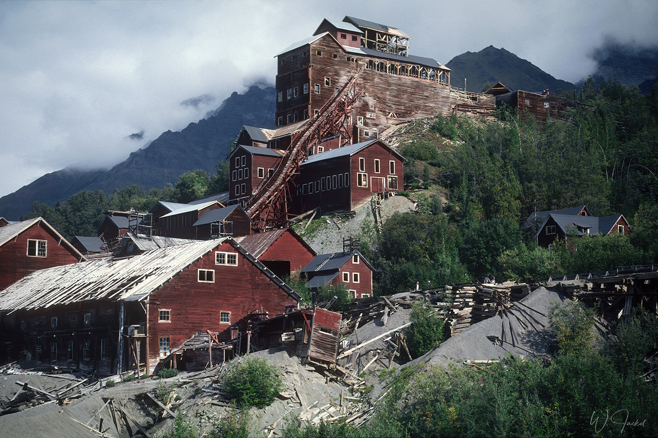
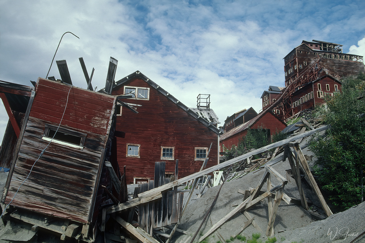
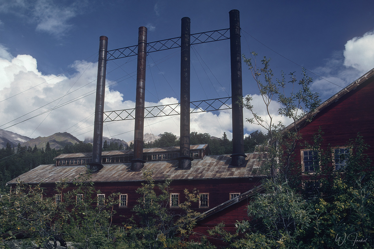
Next stop in 1999 was McCarthy/Kennecott, an abandoned mining camp in the heart of the Wrangell St. Elias NP, 300 km northeast of Valdez. Kennecott was the center of activity for 5 copper mines with “Bonanza”, at the time the richest known concentration of copper in the world. The last train left Kennecott on November 10, 1938, leaving its buildings and facilities probably the most picturesque ghost town in Alaska.
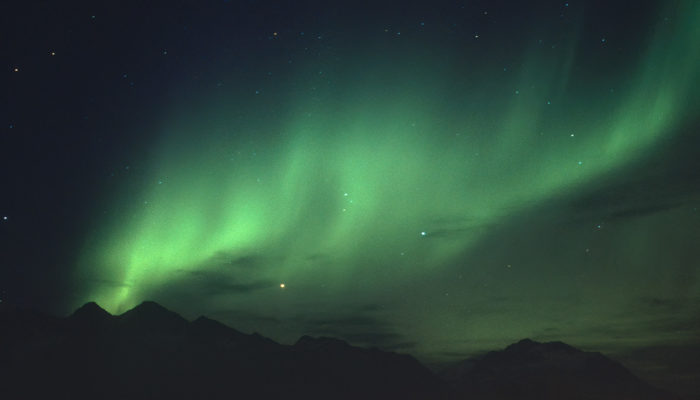
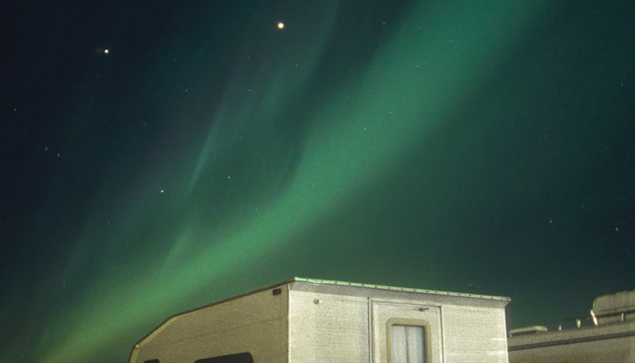
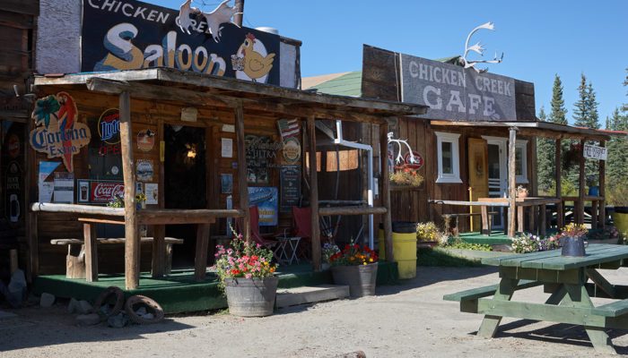
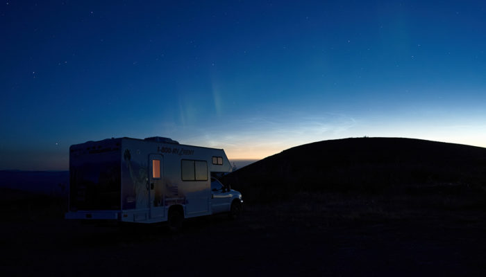
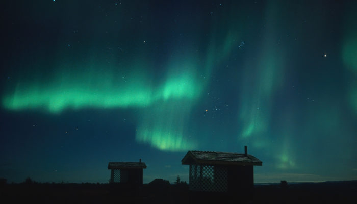
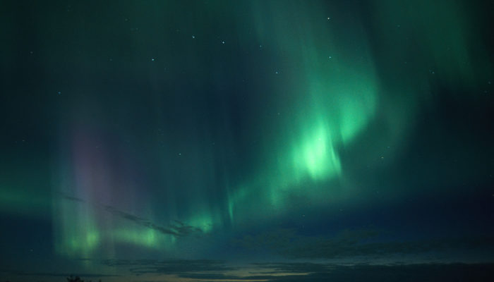
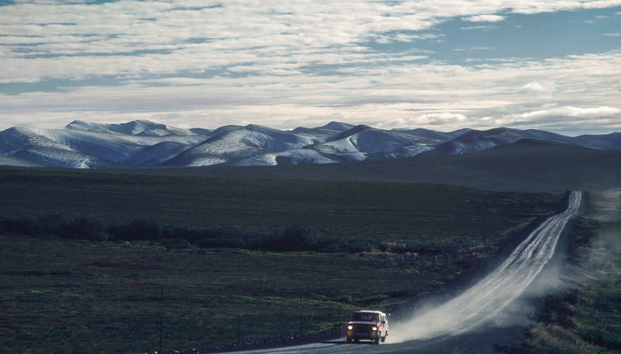
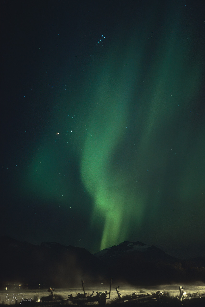
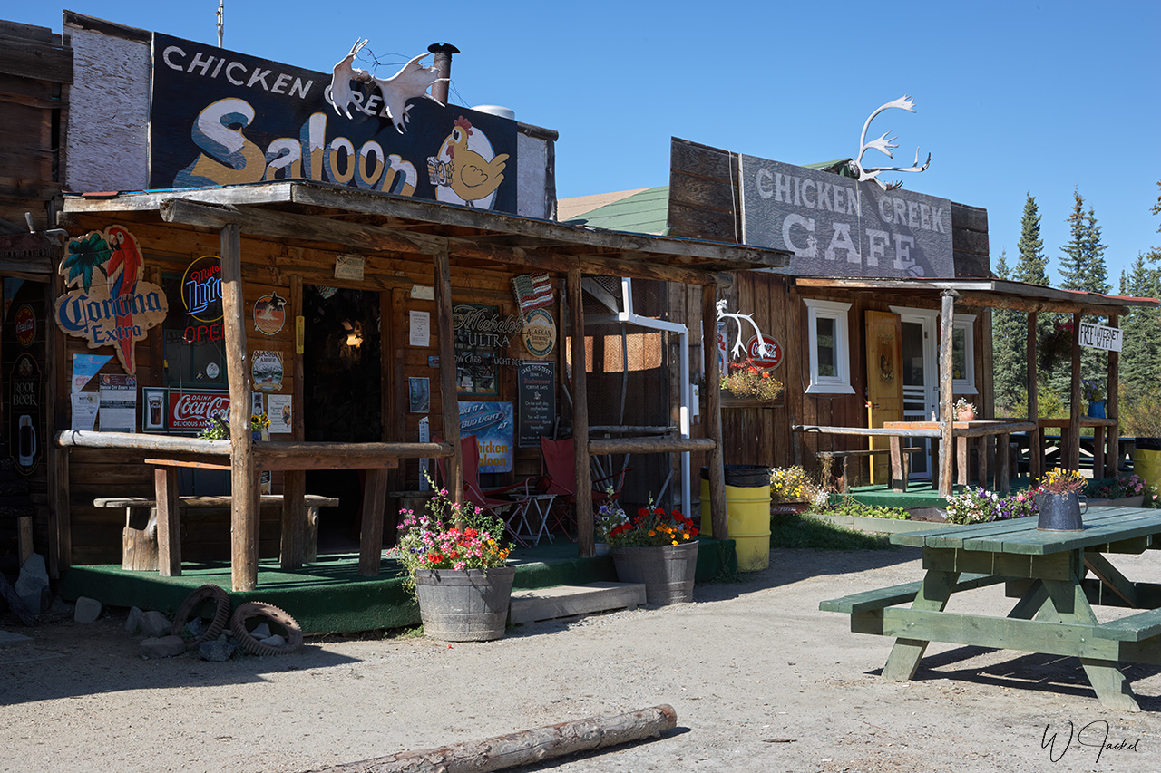
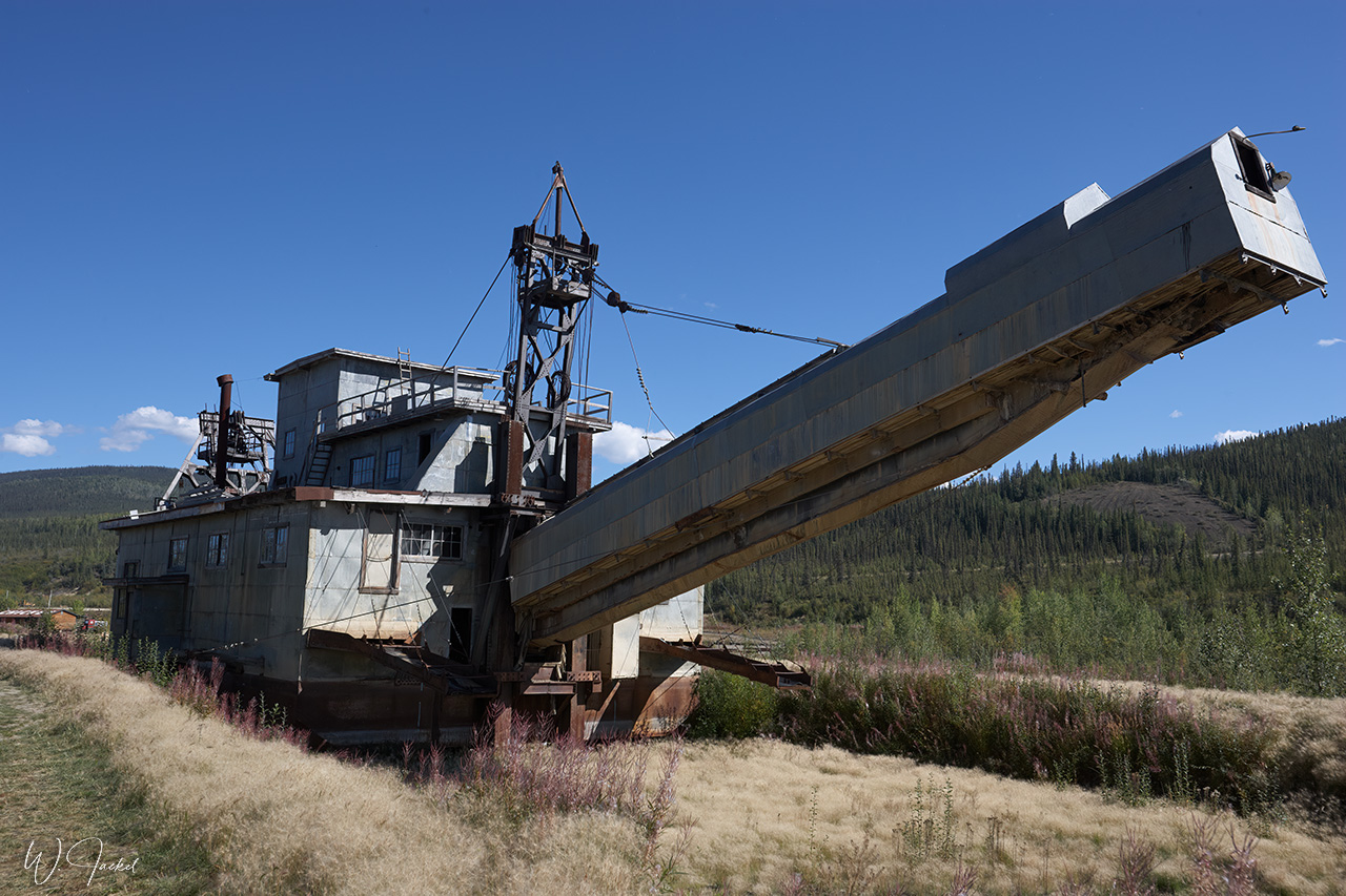
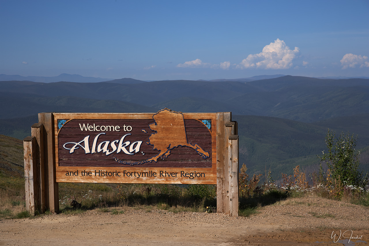
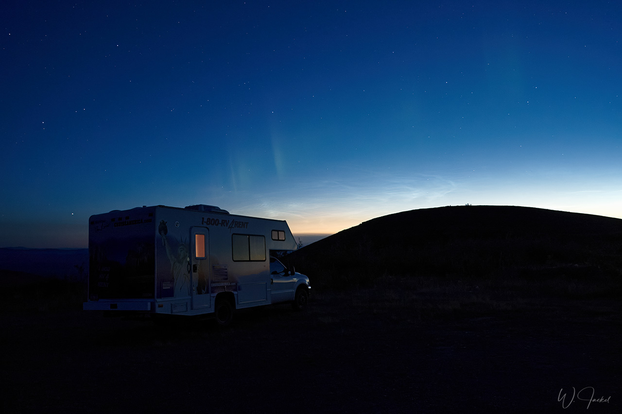
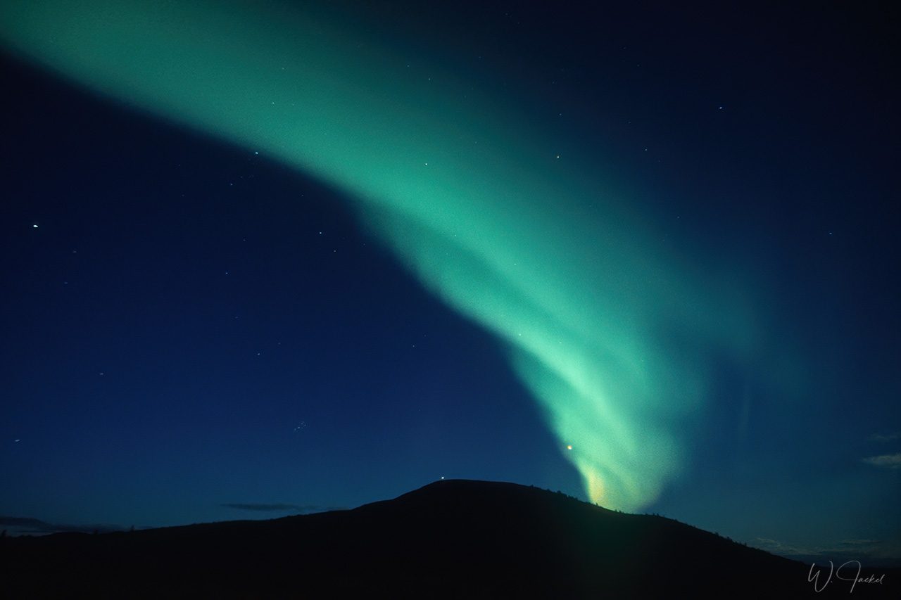
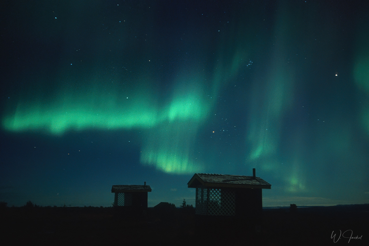
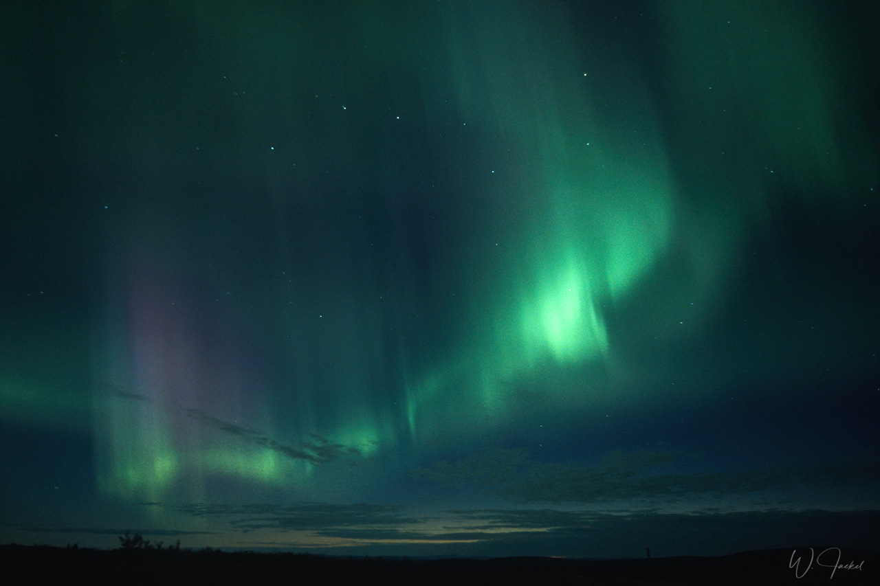
After the adventurous extra tour to Kennecott we continued northbound on the Glenn Hwy to Teltin Junction near Tok. There we turned east on the Taylor Hwy and stopped at the small village of Chicken, founded in the 1890s by prospectors mining for gold on the nearby Fortymile River. Later on, we passed the historic Jack Wade gold Dredge which was one of the first and last dredges of that kind to work in the district. Due to its deteriorating condition and safety concerns the dredge was removed in September 2007. We then crossed the Canadian border to the Yukon Territory on the now called Top of the World Hwy that winds along the top of the mountain range for a truly breathtaking drive and with its Taylor Hwy counterpart connects Tok, Alaska to Dawson City, Yukon (300km). When we parked our camper for the night close to the border we could watch beautiful Northern Lights right after sunset.
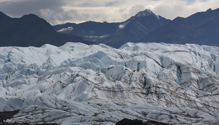
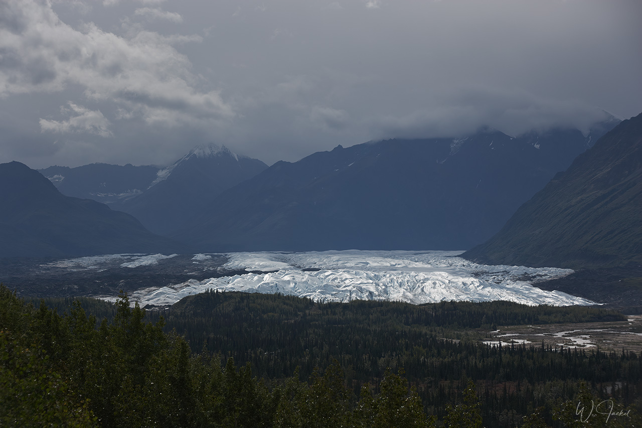
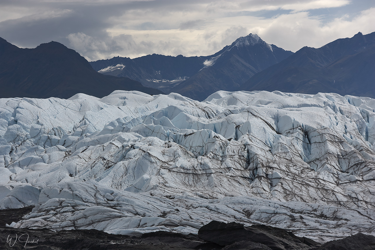
On our second trip in 2007 we spent the night on the same spot close to the Canadian border again, after we directly got there from Anchorage by skipping Valdez and Kennecott. On the way, we visited the Matanuska Glacier, though, which is located 164 km north of Anchorage and visible from the Glenn Hwy. This 27miles long valley glacier is Alaska’s largest road-accessible glacier. A 20minutes trail leads right up to its terminus moraine and glacier face for a walk on the ice. Staying overnight on the Top of the World Hwy again, we were hoping for another strong aurora as watched there in 1999. But the display was relatively weak. On both trips we continued on the scenic Hwy down to Dawson City .
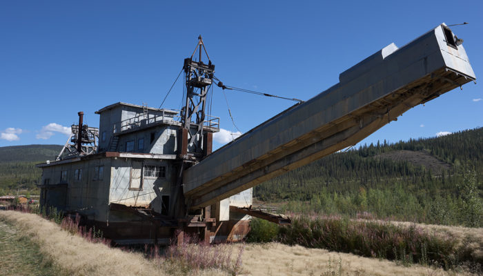
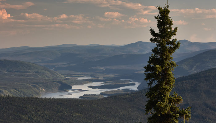
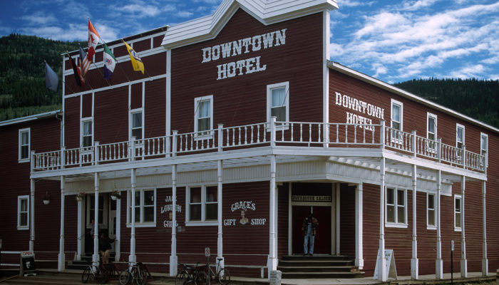
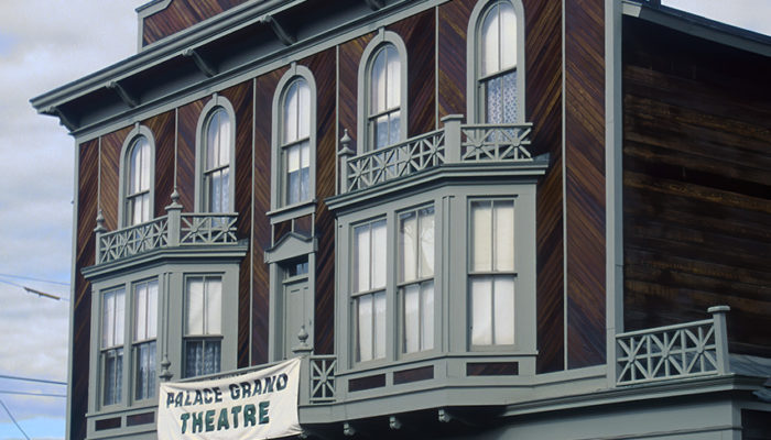
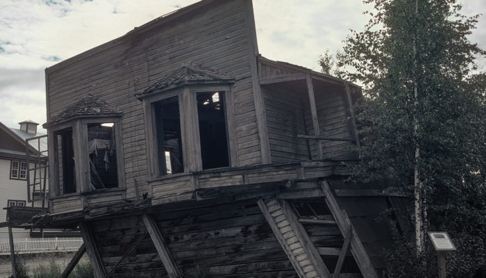
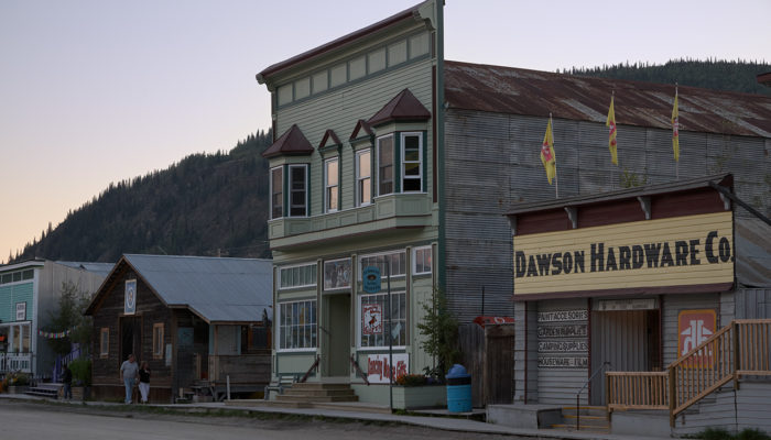
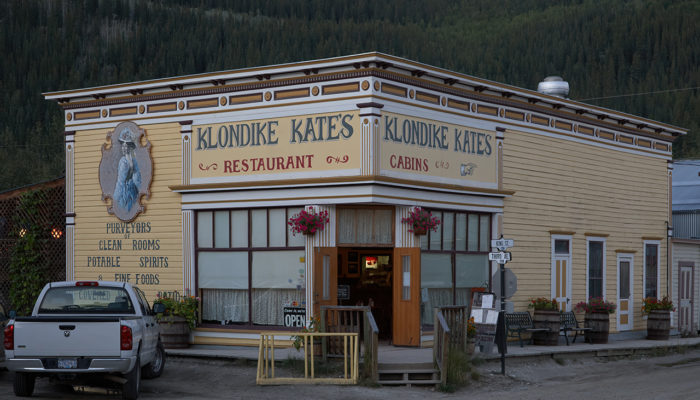
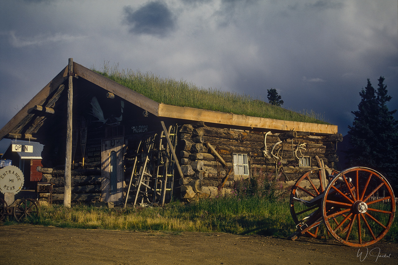
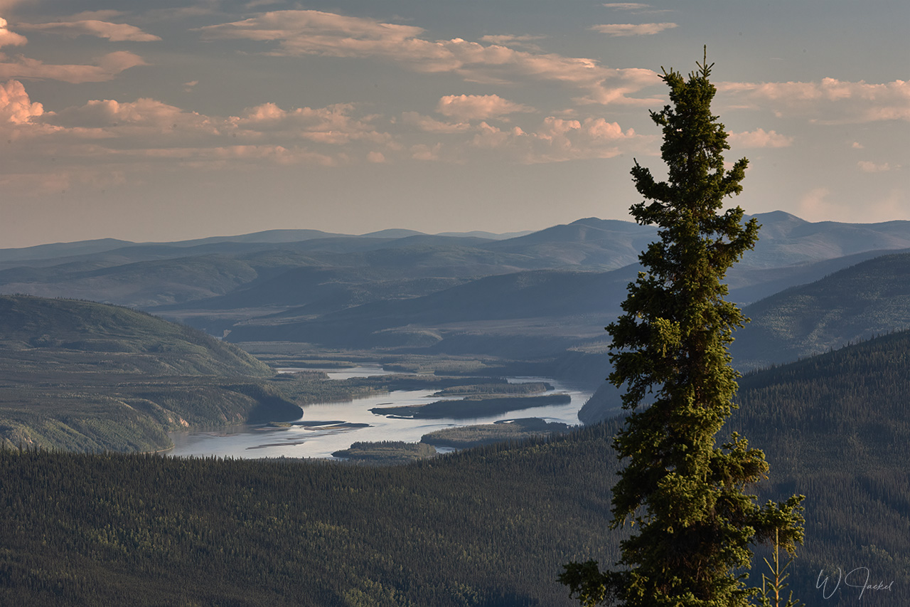
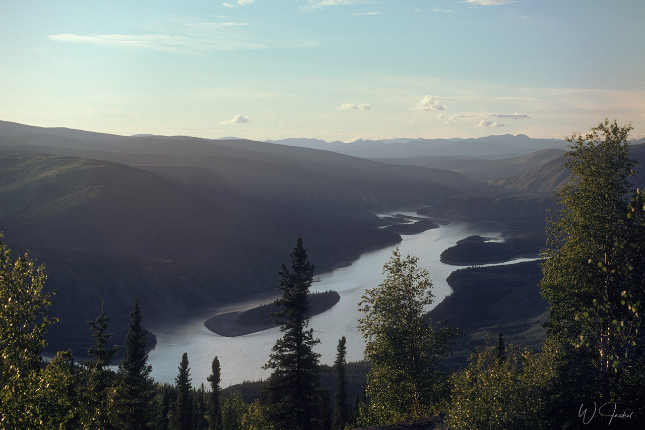
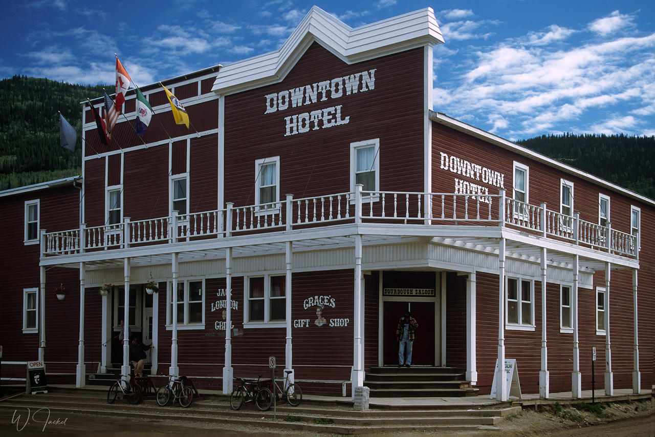
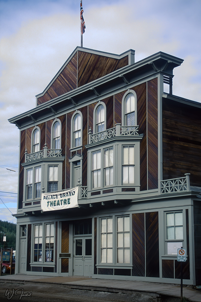
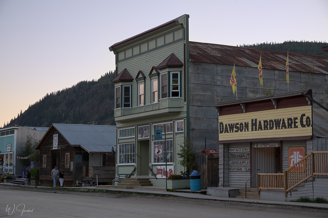
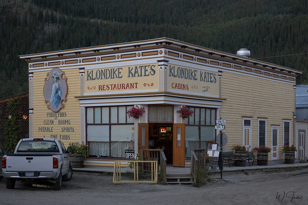
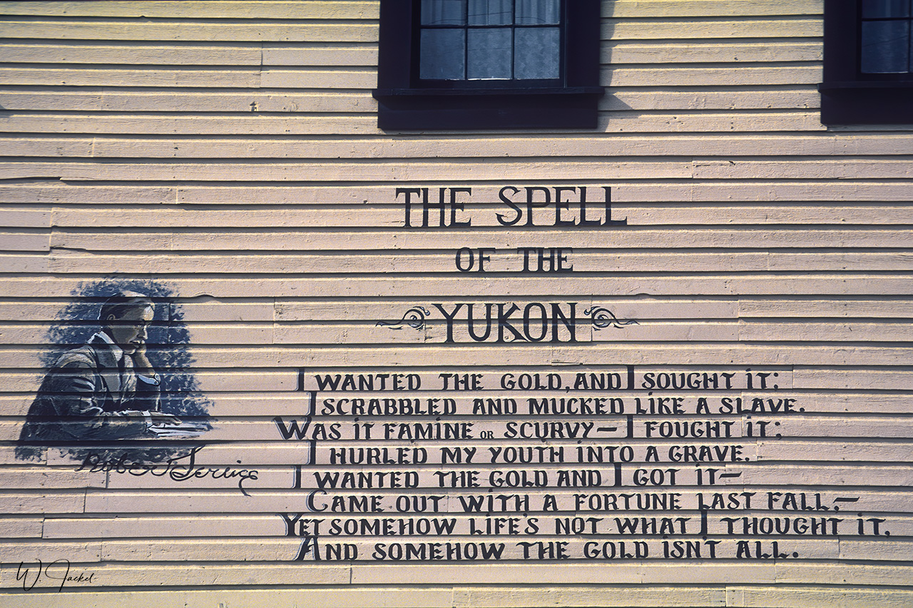
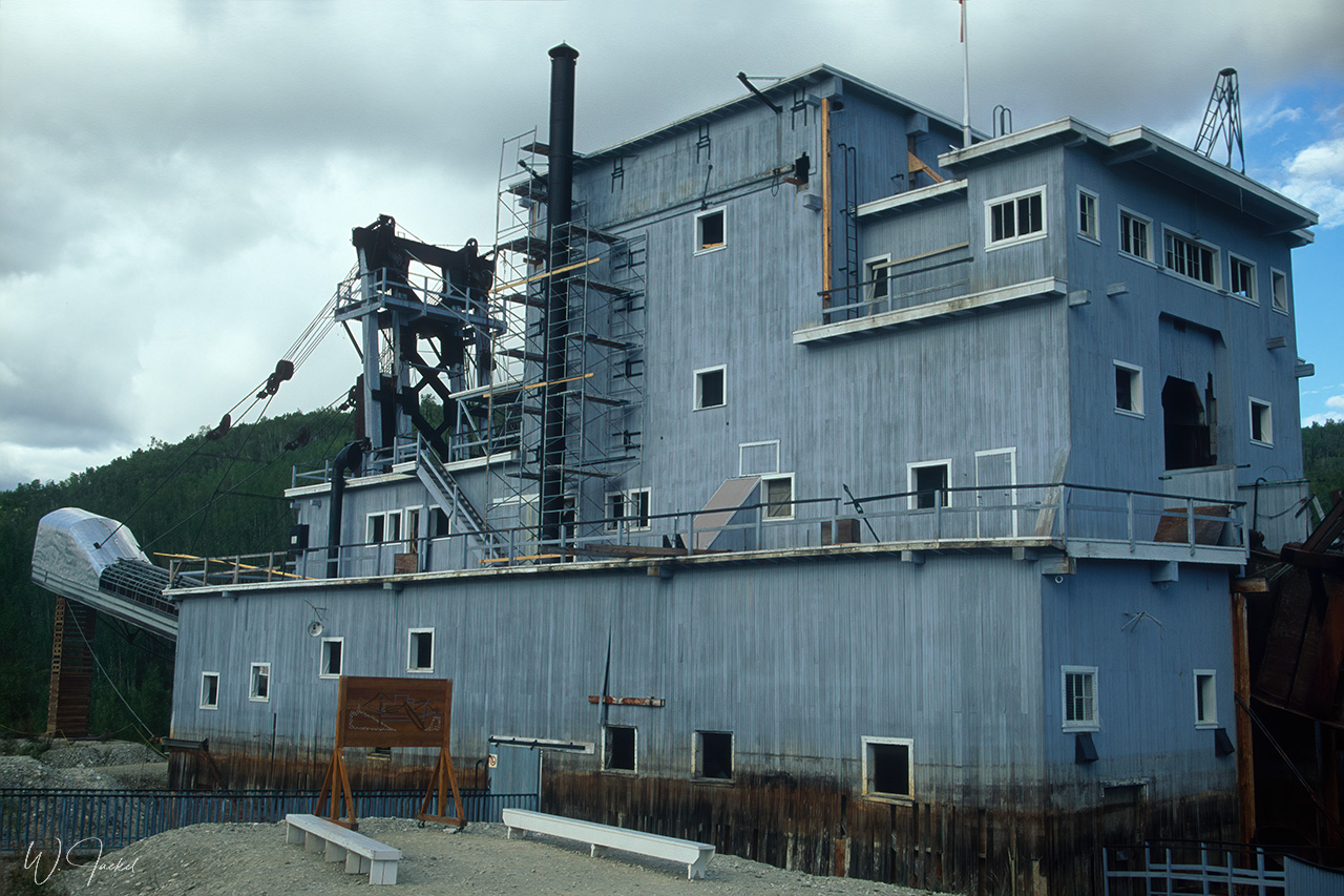
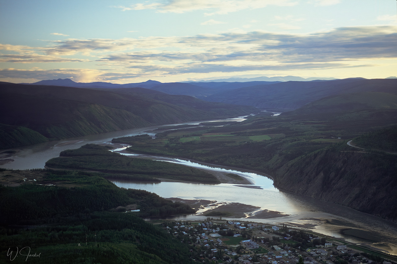
Dawson City on the banks of the Yukon River is the heart of the world-famous Klondike Gold Rush that took place after three men found gold on Rabbit Creek (now Bonanza Creek), a tributary of the Klondike River, on August 16, 1896. News of the find spread like wildfire all over the world causing an unprecedented stampede of an estimated 100,000 prospectors to the Klondike and Dawson City to become a boom town until gold was found around Nome, Alaska, in 1899, marking the end of the Klondike rush. The city has several preserved frontier-style buildings, museums and exhibits most of them found in the Dawson Historical Complex maintaining the spirit of that time. There’s still some gold mining and tourists can try panning for gold, too.
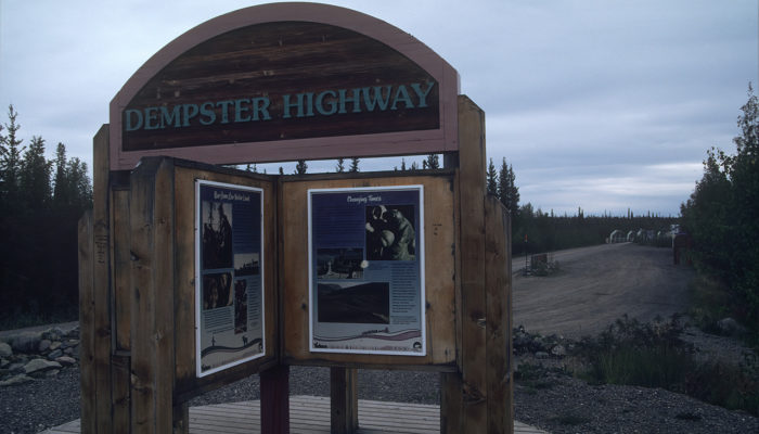
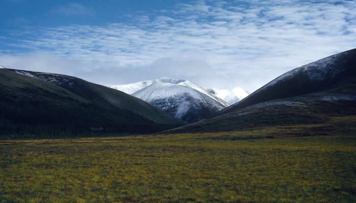
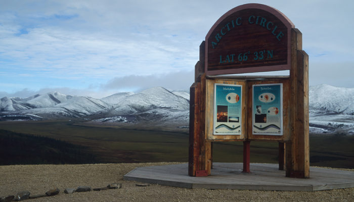
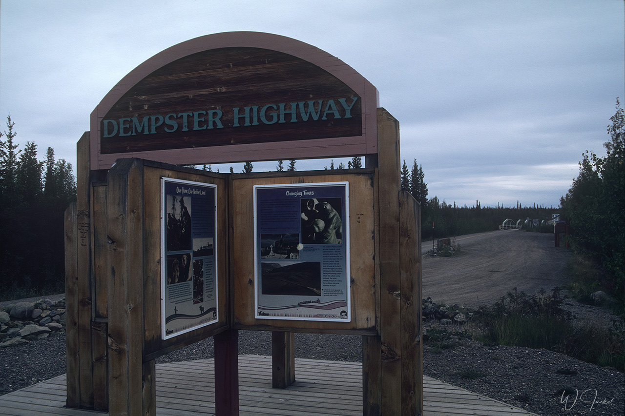
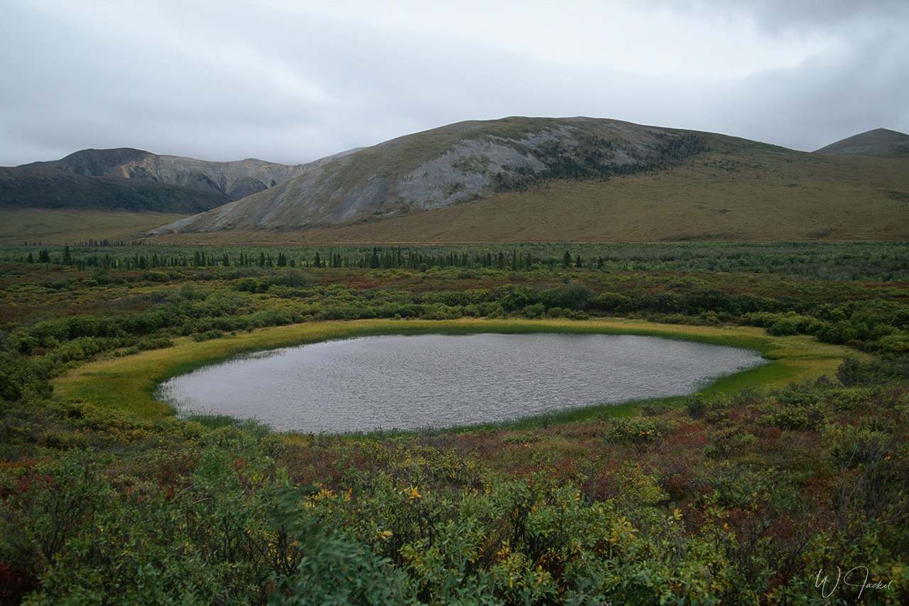
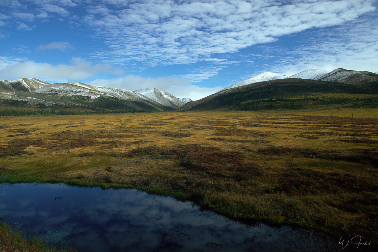
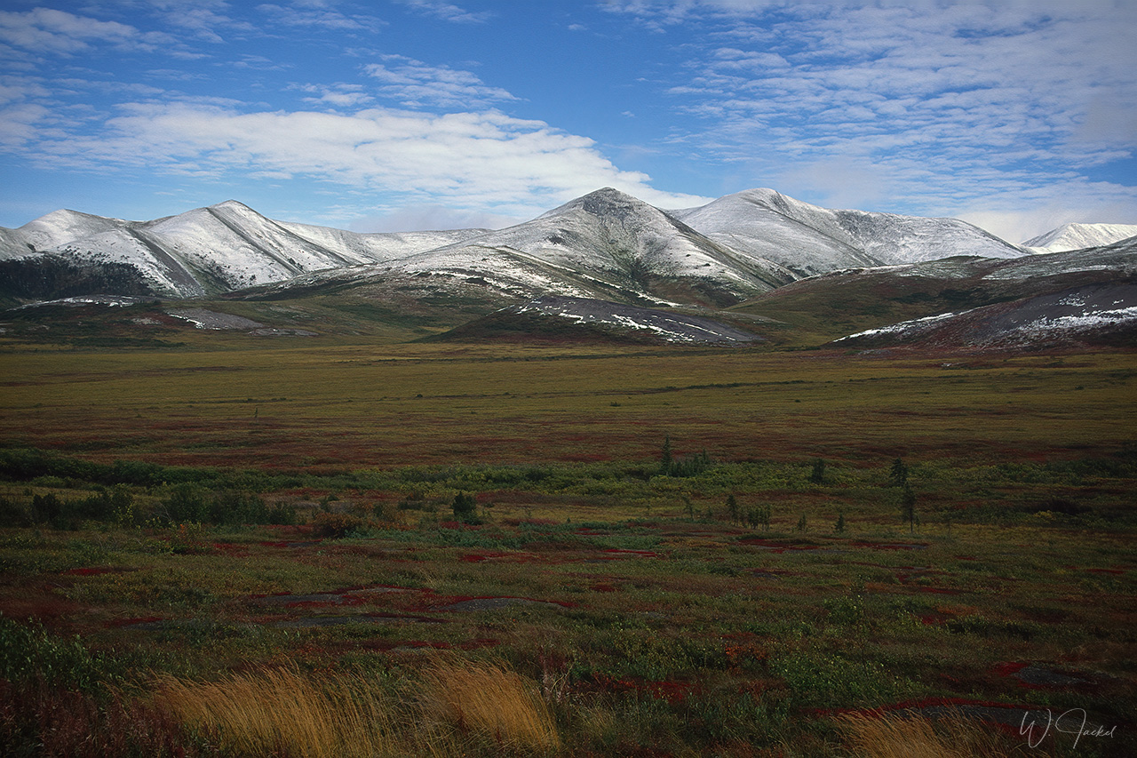
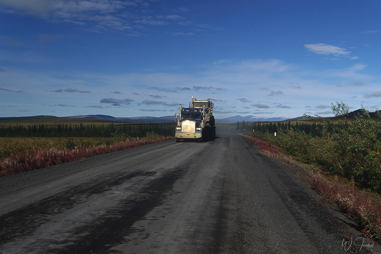
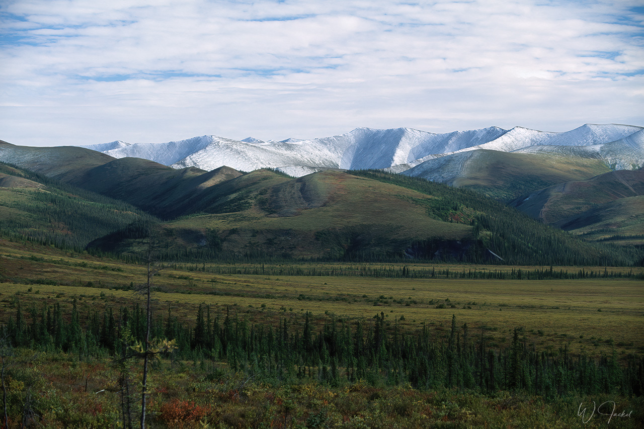
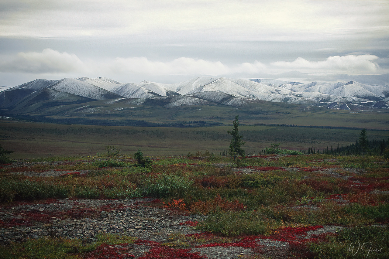
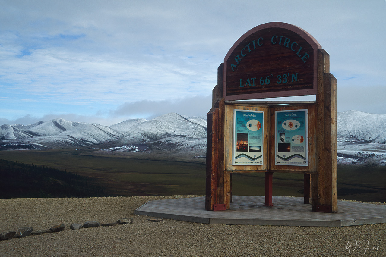
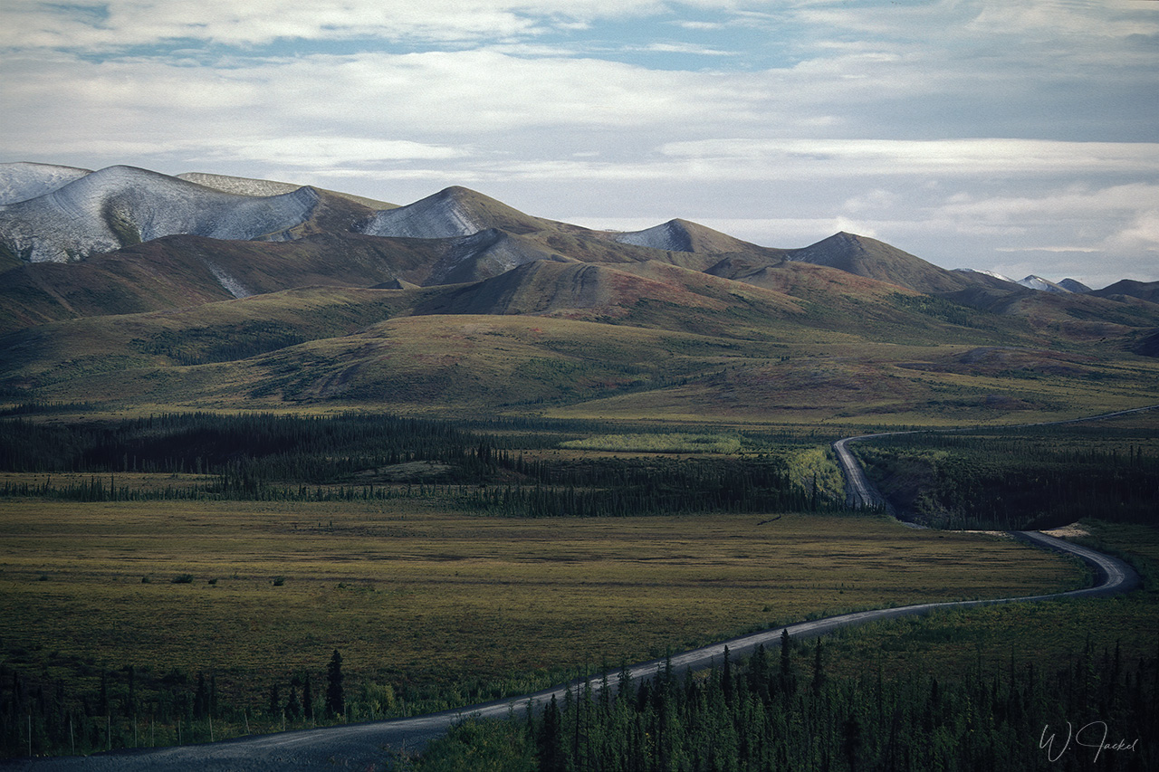
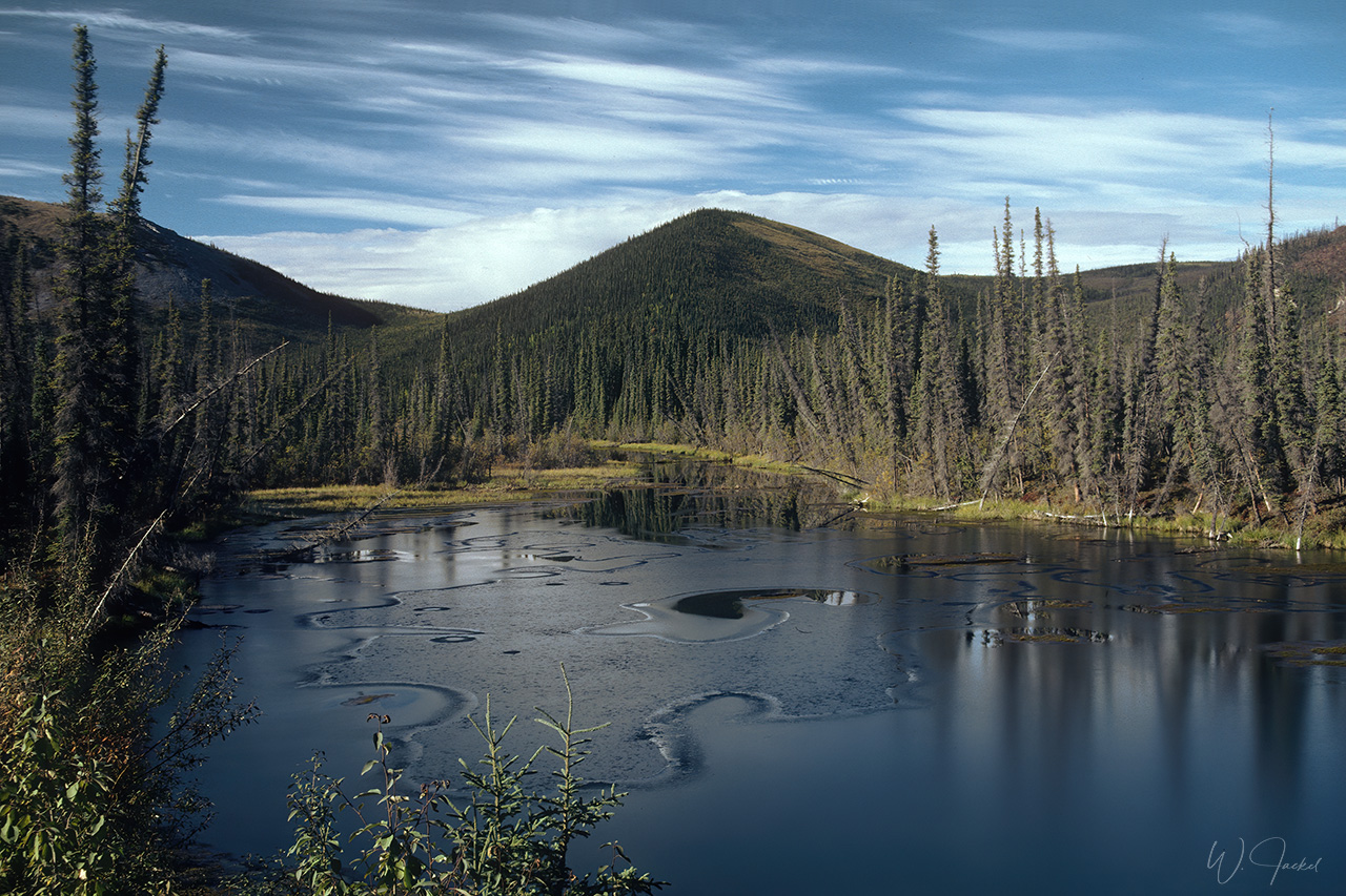
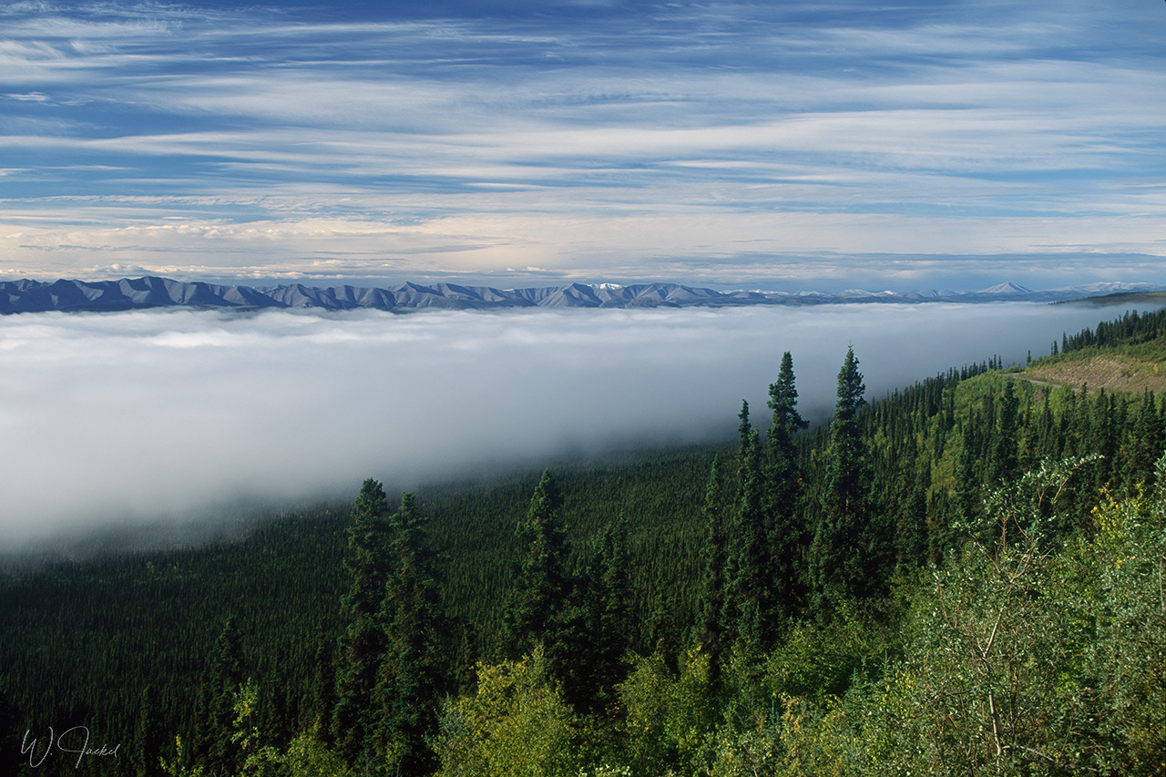
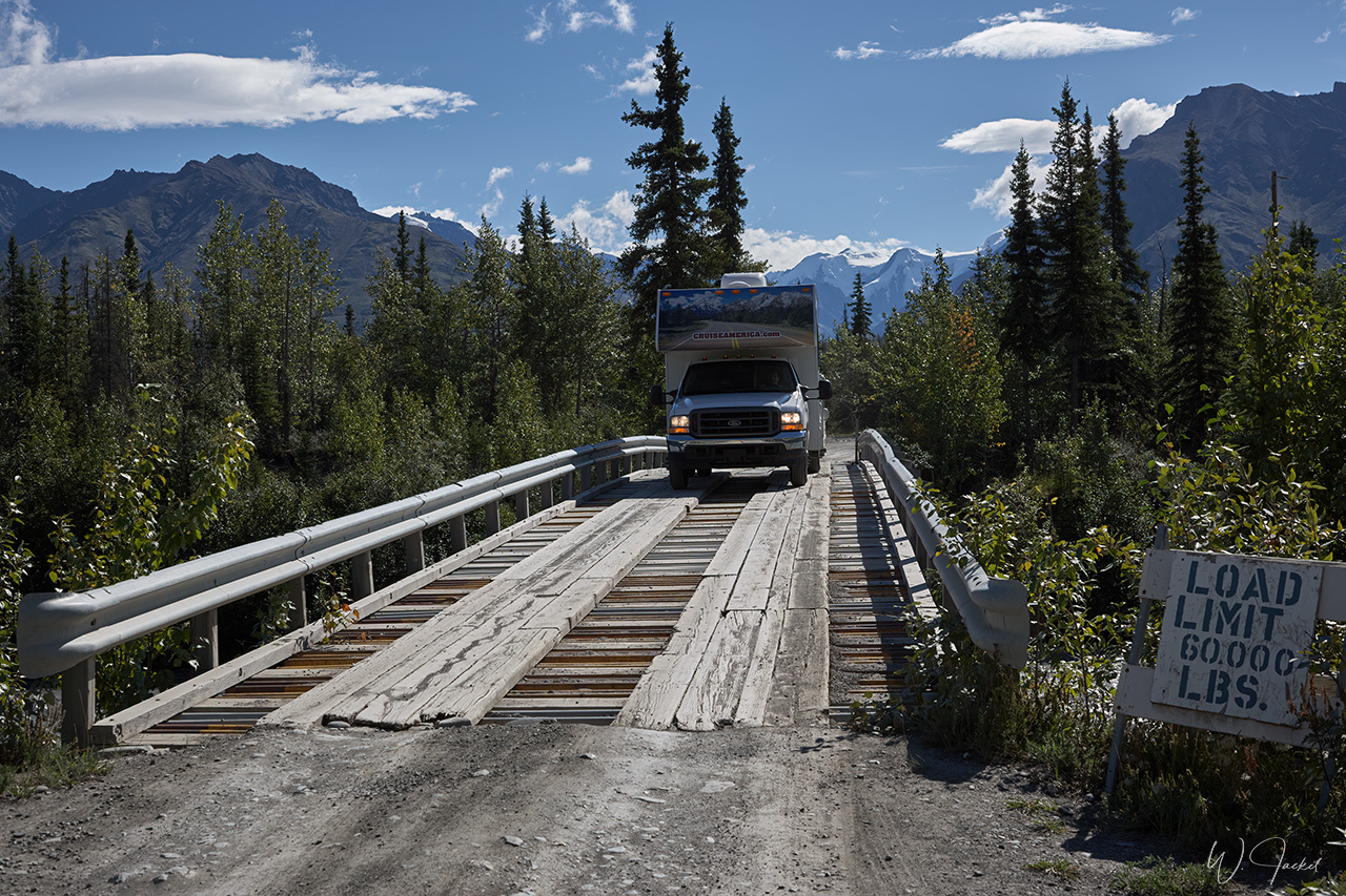
In 1999 we decided to explore a section of the spectacular Dempster Highway, a mostly unpaved gravel road, stretching 740km from Dawson City through some of the most beautiful wilderness scenery in the world to Inuvik, located 200 km north of the Arctic circle at the MacKenzie Delta close to the Arctic ocean. The Dempster Hwy was completed in 1978 and built to serve the booming oil and gas exploration in the Mackenzie Delta and Beaufort Sea. Northbound from Dawson there is no location with services along the highway for 369 km until reaching Eagle Plains which can make the trip challenging and adventurous given the changing road conditions.
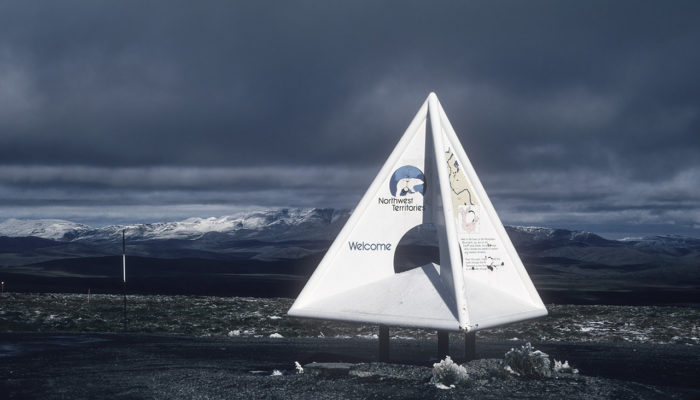
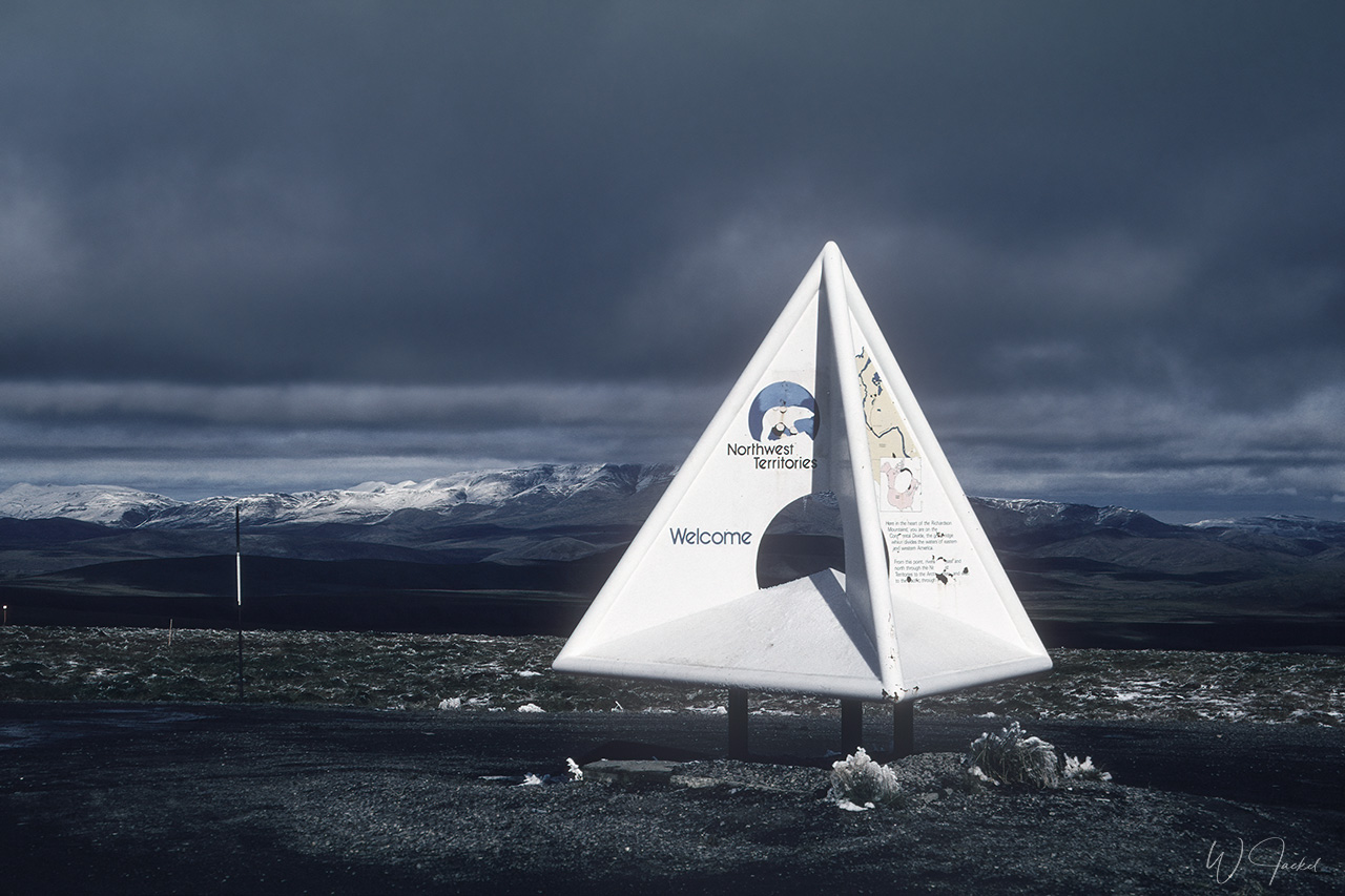
After having stayed the night at Eagle Plains, we crossed the Arctic Circle at KM 405 and continued for another 60 km to the trans – boundary Wright Pass between Yukon and the Northwest Territories. Due to the limited time and unpredictable road conditions potentially risky for a rental camper, we decided to drive back to Dawson instead heading further north on the Dempster Hwy for another 275 km to Inuvik requiring two river passages by ferry, too.
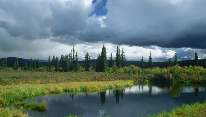
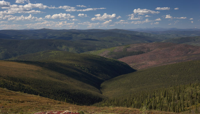
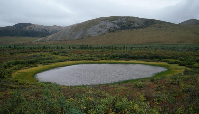
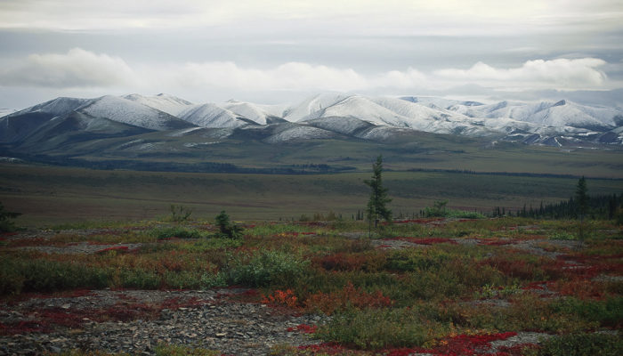
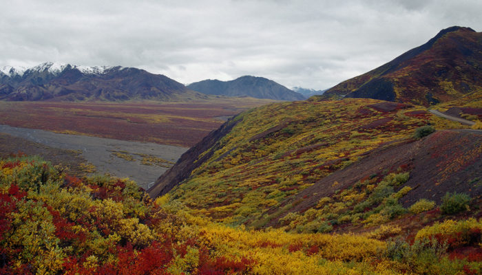
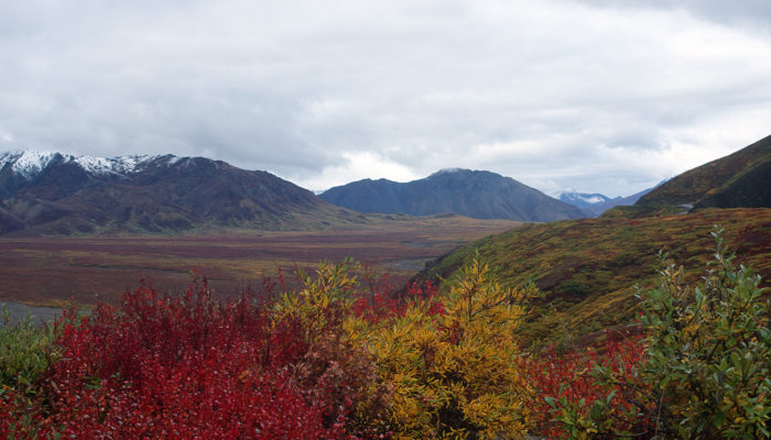
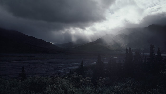
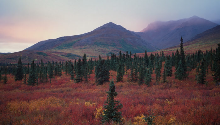
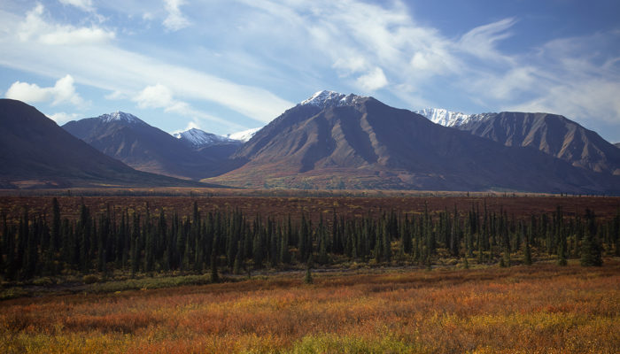
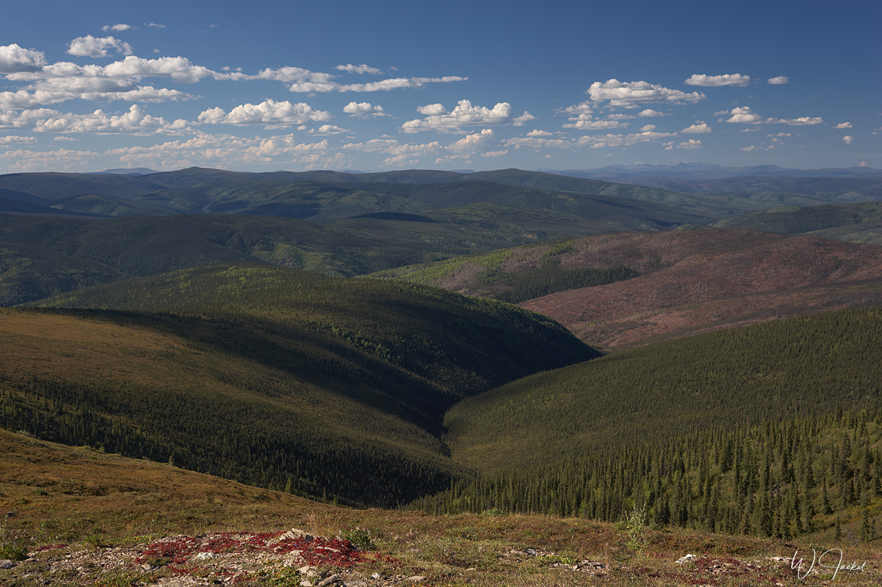
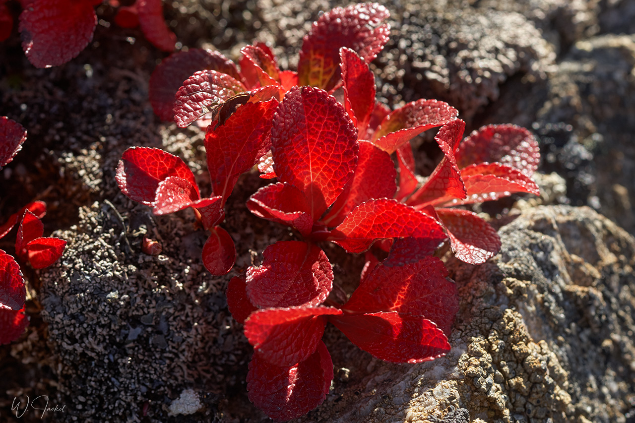
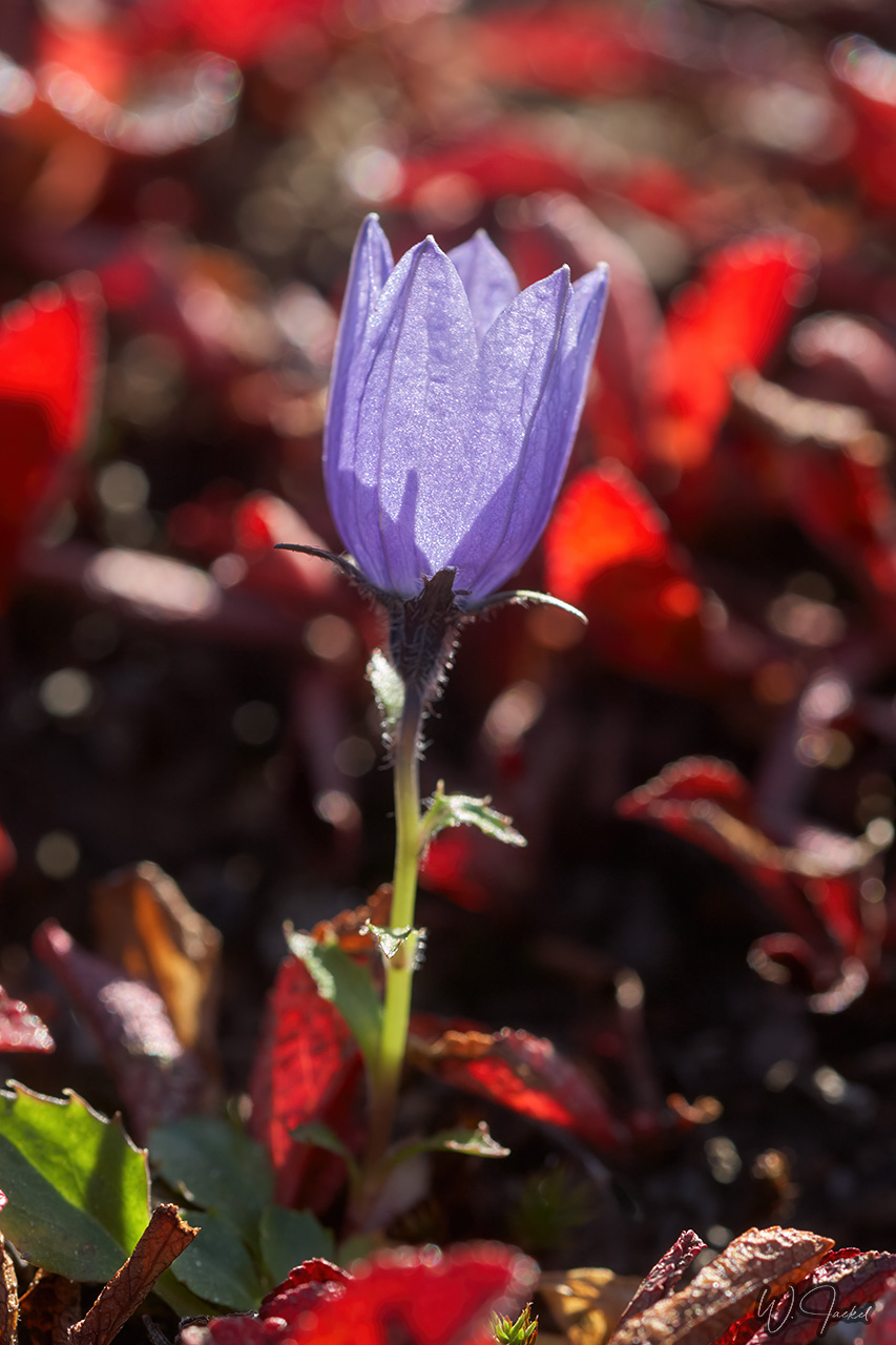
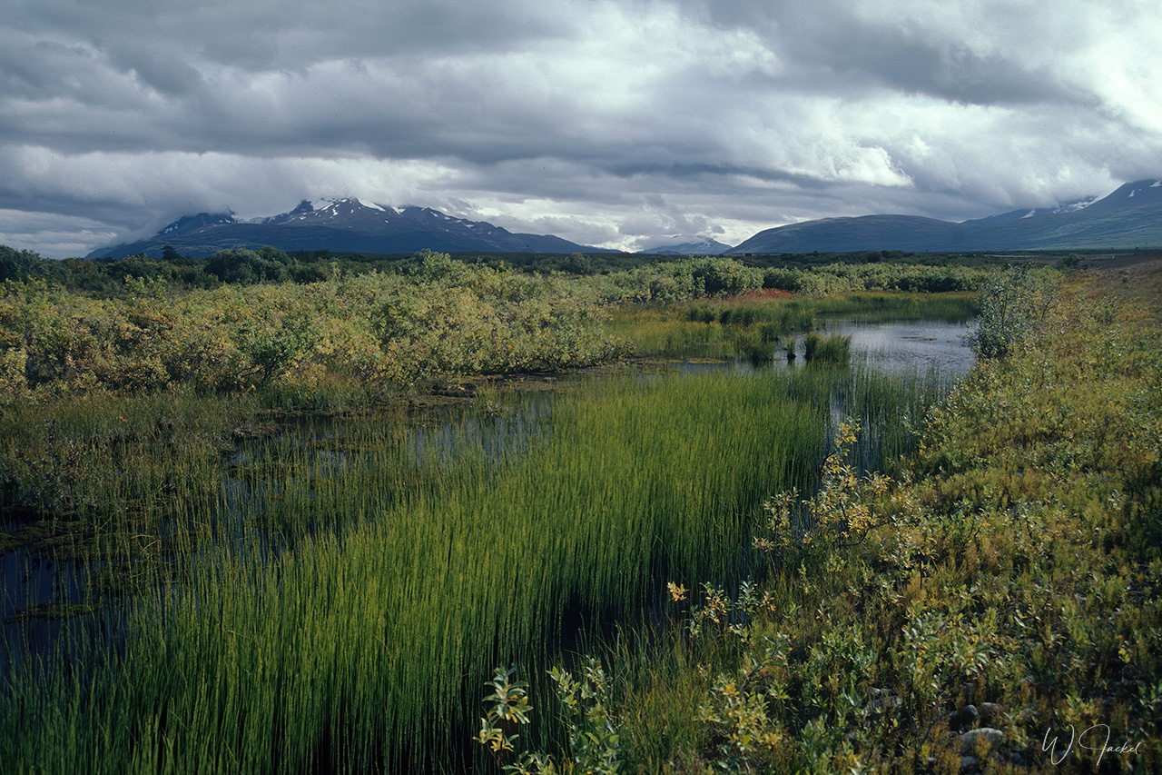
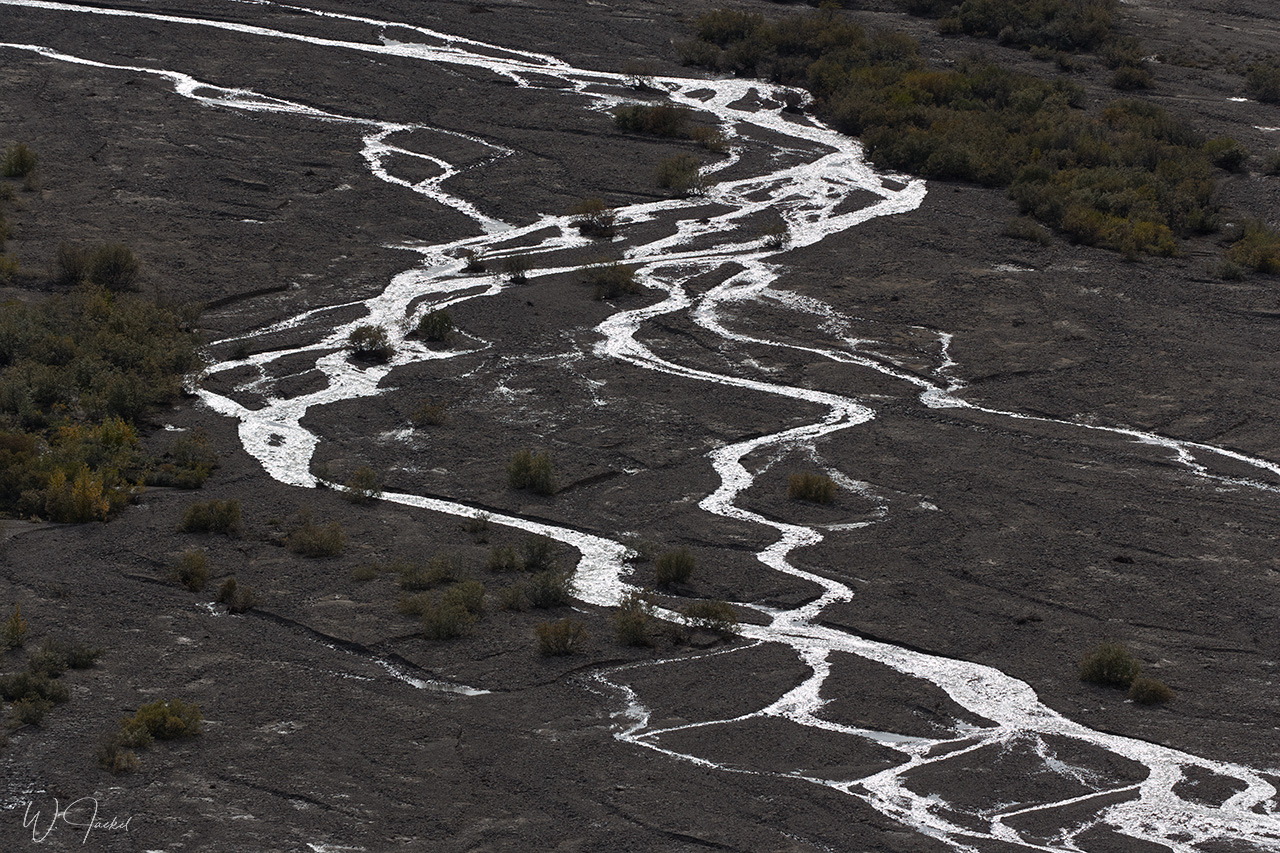
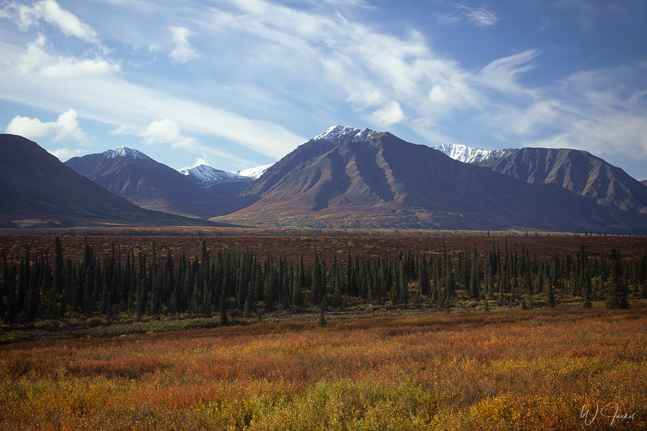
In any case, the drive through the colorful autumnal tundra at the backdrop of the Ogilvie and Richardson Mountains powdered with snow definitely was one of the highlights of the whole trip and well worth the extra time.
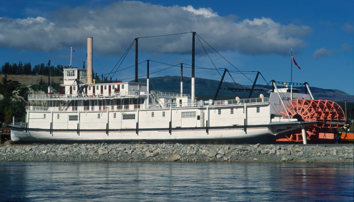
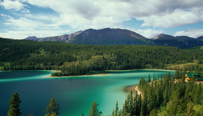
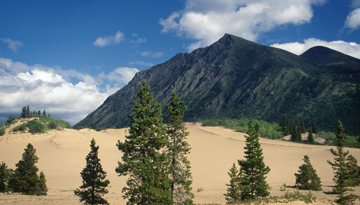
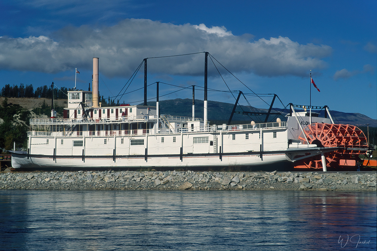
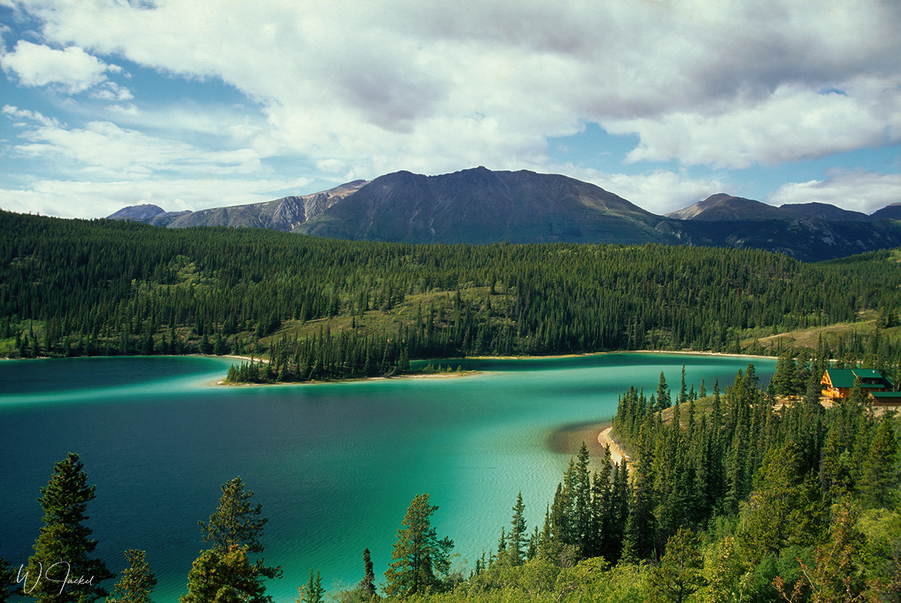
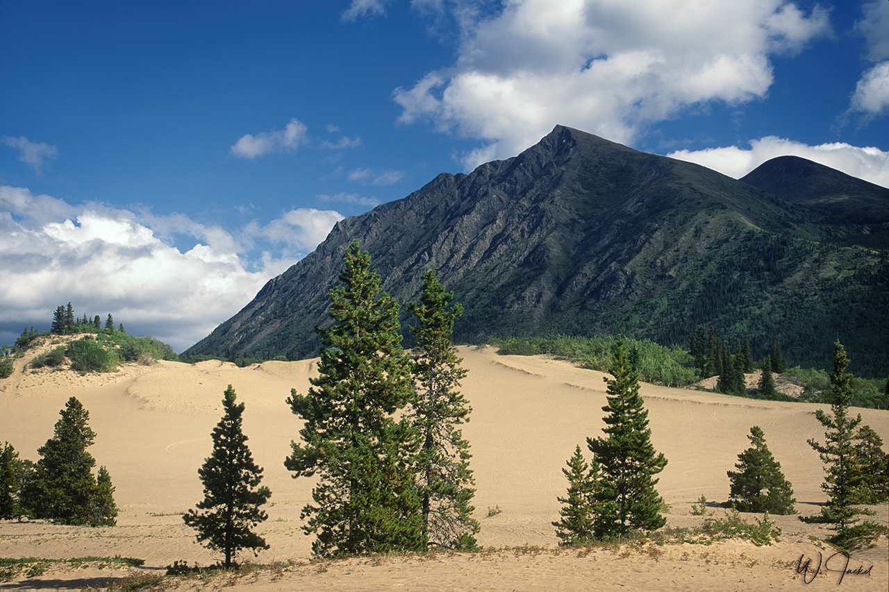
Back in Dawson we drove south on the Klondike Hwy to Whitehorse, Yukon’s capital and largest city with 25000 inhabitants. After visiting the historic “S.S. Klondike” sternwheeler which operated on the Yukon River between Dawson and Whitehorse, we continued further southwards to the picturesque turquoise colored Emerald Lake (also called Rainbow Lake) and the dunes of the Carcross Desert nearby, – once considered the world’s smallest desert, measuring approximately 2,6 sq.km. However, it’s originated by the eroded deposits and sediments of a former glacial lake with the sand accumulated and piled up by the wind and protected from rain by the mountains nearby.
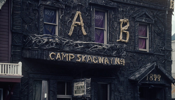
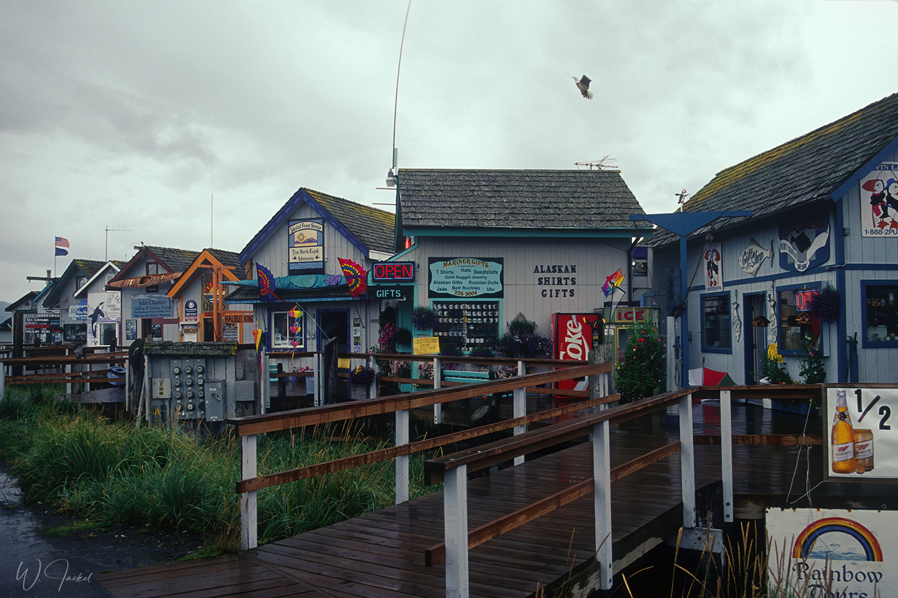
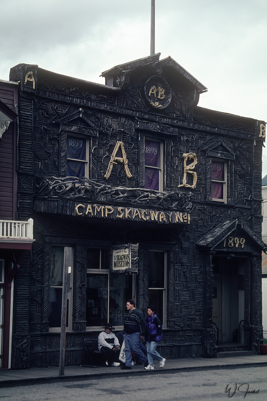
Further south, we crossed the border to the US and stopped at Skagway. There was no time to explore the city, a former gold rush town, too, with about 100 historical buildings and the starting place for more than 40,000 gold-rush stampeders who headed to the Yukon primarily by way of the legendary Chilkoot Trail. Today, Skagway is a touristic center along the popular cruise route of the Inside Passage with 400 cruise ships a year stopping here
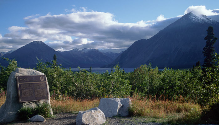
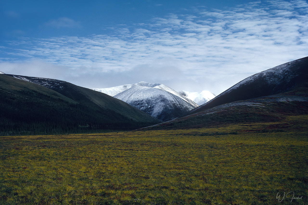
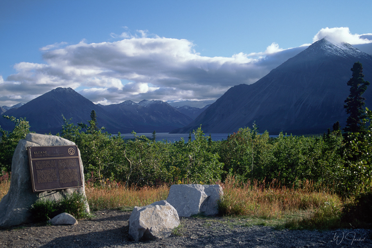
Instead, we took the ferry from Skagway to Haines, situated in front of the Chilkat Mountain Range. From Haines we drove north on the Haines Hwy along the scenic Chilkat River surrounded by snow covered mountains. After crossing the border to Canada’s Yukon Territory again, we arrived at Haines Junction, located east of the Kluane NP and Reserve. The park is home to Canada’s highest peak (5,959 meter Mount Logan), the second-highest summit in North America after Denali – surrounded by the world’s largest non-polar icefield, making up 82% of the park. The bi-national park system of Kluane, Wrangell St Alias, Glacier Bay and Tatshenshini- Alskei was declared a UNESCO World Heritage Site in 1979. The Kluane NP is known for mountaineering on multi-day treks and stunning flightseeing experiences. We had to skip these time-consuming options and passed by the Kluane NP by driving from Haines Junction further north along the Kluane Lake crossing the border to Alaska again. We continued on the Alaska Hwy via Teltin Junction and Tok to Delta Junction.
In 2007 we didn’t drive the Dempster HWY again, not permitted with our larger 2WD RV, anyway. So we drove all the way back from Dawson City on the Top of the World and Taylor Hwys to Teltin Junction, continuing to Tok and Delta Junction, too.
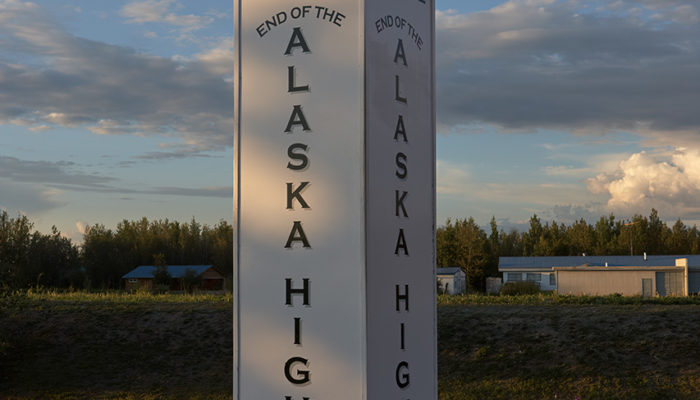
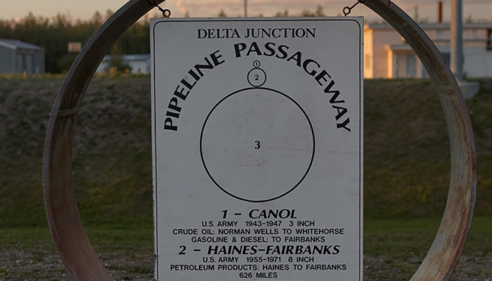
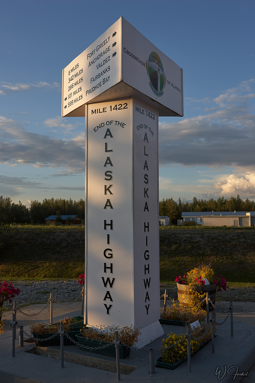
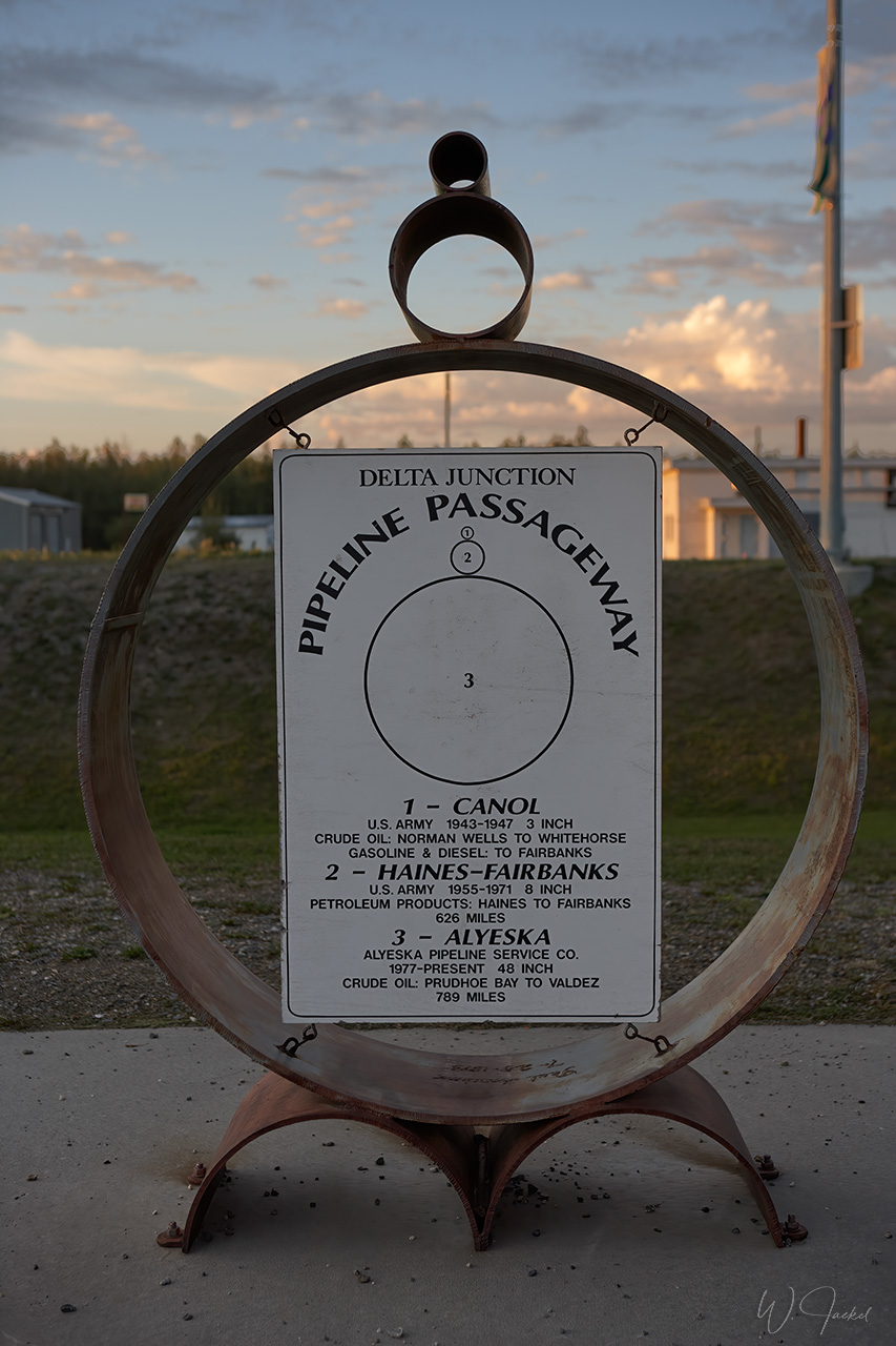
The sign at milepost 1422 in Delta Junction marks the official end of the magic Alaska Hwy. From there, the Richardson Highway leads to Fairbanks. There is also an information on the development of the various oil pipelines shown nearby the sign.
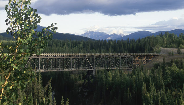
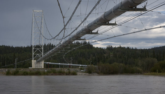
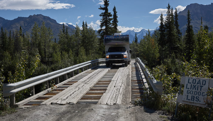
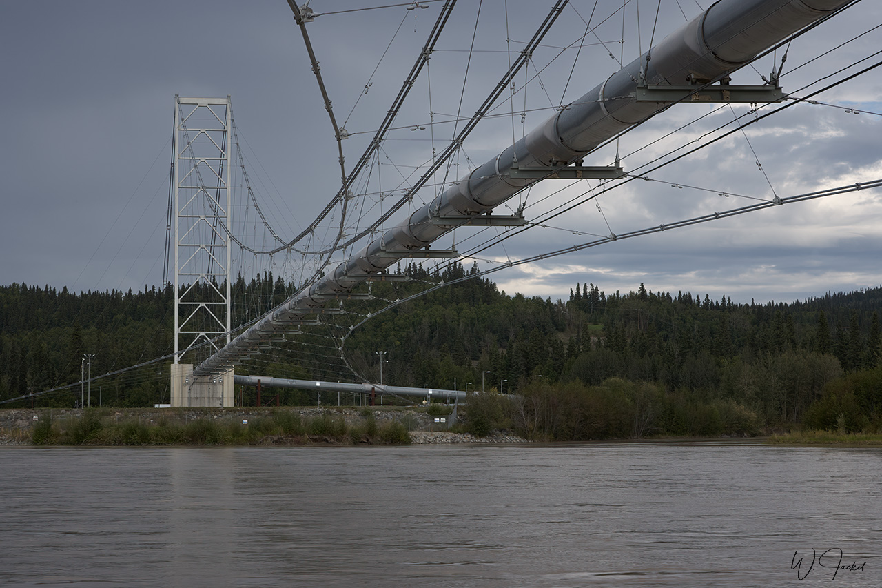
The Alaska Highway was built during World War II for military purposes as hedge against a potential Japanese invasion route to Canada in order to connect the contiguous United States to Alaska across Canada. It was once described as the largest and most difficult construction project since the Panama Canal. It begins at the junction with several Canadian highways in Dawson Creek, British Columbia, Canada. More than 11000 soldiers and engineers, 16000 civilians and 7000 pieces of equipment were called upon to build this 1500 mile (2289 km) long road through the vast wilderness of northern Canada and Alaska. In less than nine months it was managed to connect Dawson Creek and Delta Junction. In many places, it was a “highway” in name only with stretches of unpaved road. Close to Delta Junction, we could view the impressive Trans Alaska Oil Pipeline crossing the Tanana River on a cable suspension and sweeping majestically over the water. Because of varying soil conditions along its 800 miles route from Prudhoe Bay to the terminus at Valdez, the pipeline is both above and below ground.
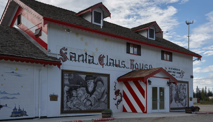
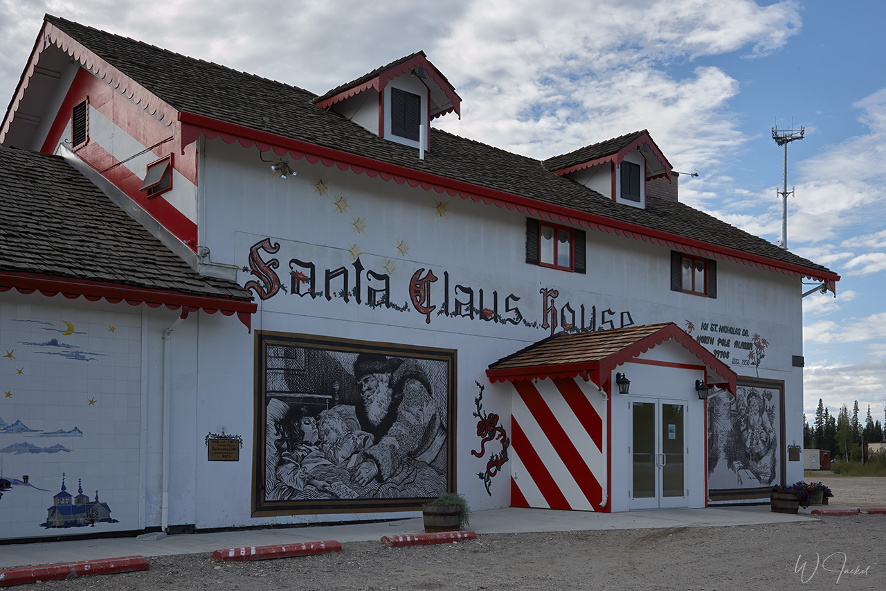
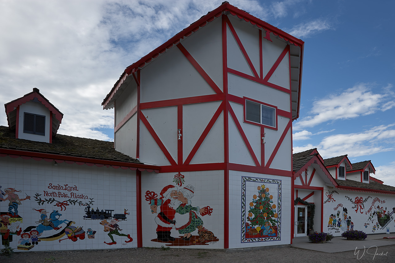
We continued on the Richardson Hwy along the Tanana River northward to Fairbanks including a short stop at the small city of North Pole close by known for its year-round Christmas decorations and its Santa Claus House situated next to a giant outdoor statue of Santa attracting highway travelers. The sprawling store features almost endless aisles of Christmas ornaments, gifts and toys.
Fairbanks is the second-largest population center of Alaska after Anchorage with just over 100000 people currently living in the city and surroundings. It’s centrally located in Alaska’s Interior with the Chena River running through the middle of town. Originally a gold rush boomtown, it’s also named the “Golden Heart of Alaska” with the active Fort Knox mine nearby being the largest producer of gold in the history of the state of Alaska.
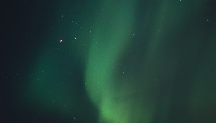
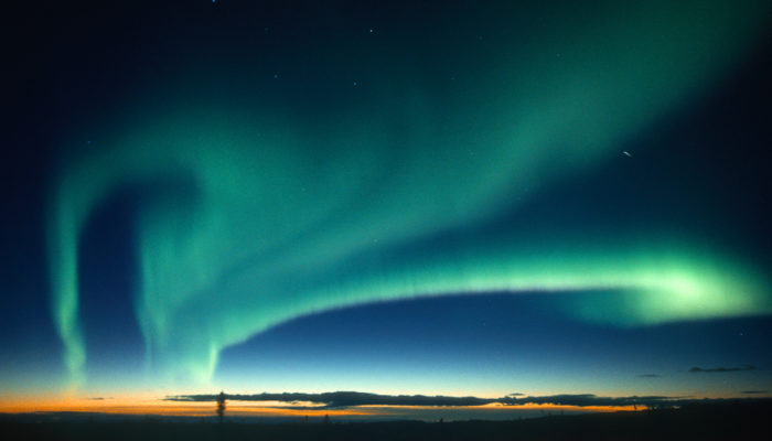
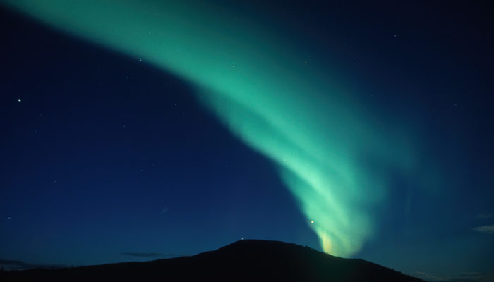
Fairbanks’s top-of-the-world location also makes it one of the best and most reknown places on Earth to see the fascinating Northern Lights. The town is home to the well-respected University of Alaska Fairbanks; its Geophysical Institute is base of monitoring and research of the Aurora and of many other aspects such as permafrost, seismology, volcanology and others.
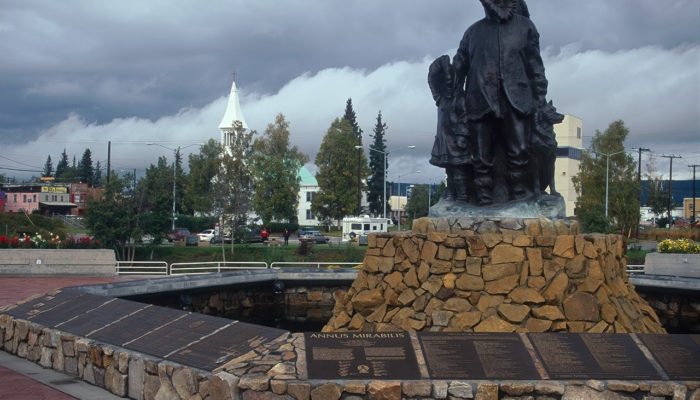
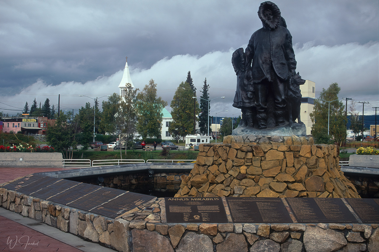
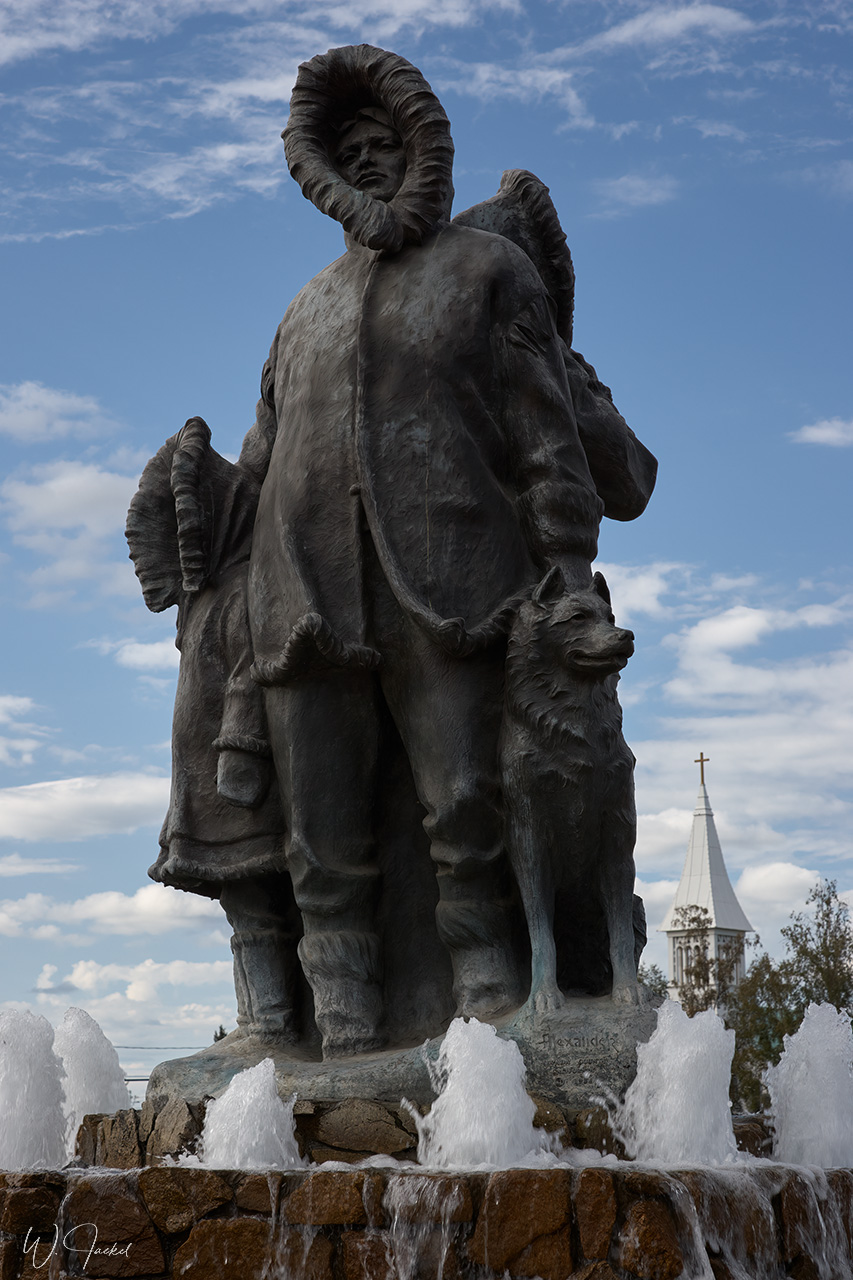
We also visited the famed University of Alaska Museum of the North nearby the university which is well worth a stop. The bronze sculpture of the Unknown First Family is another known tourist attraction in downtown Fairbanks. It is dedicated to “past, present and future families of all mankind who endure in this great land with pride and dignity.” The Pioneer Park, located along the Chena River, commemorates early Alaskan history with multiple museums and historic displays on site including the “SS Nenana” sternwheeler.
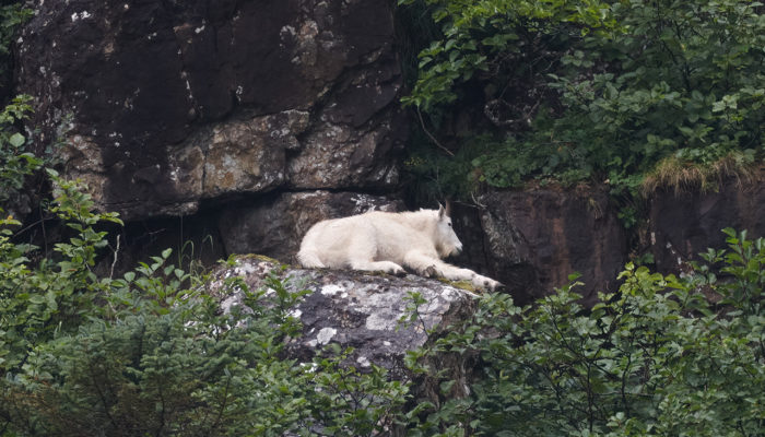
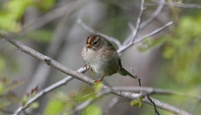
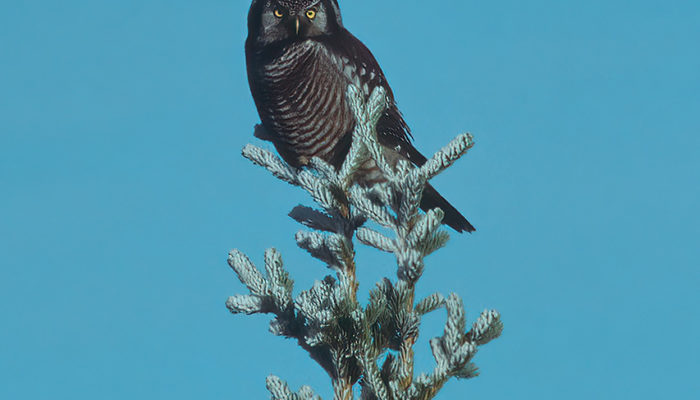
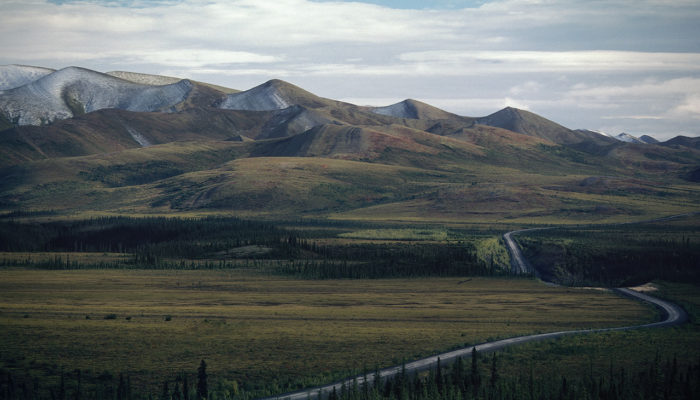
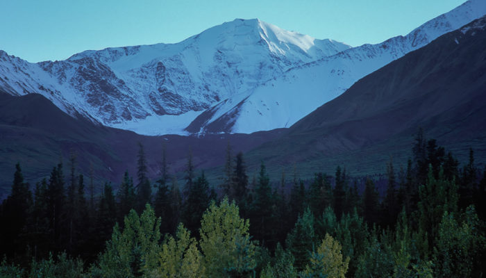
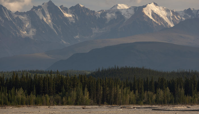
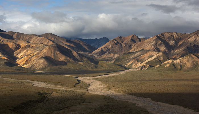
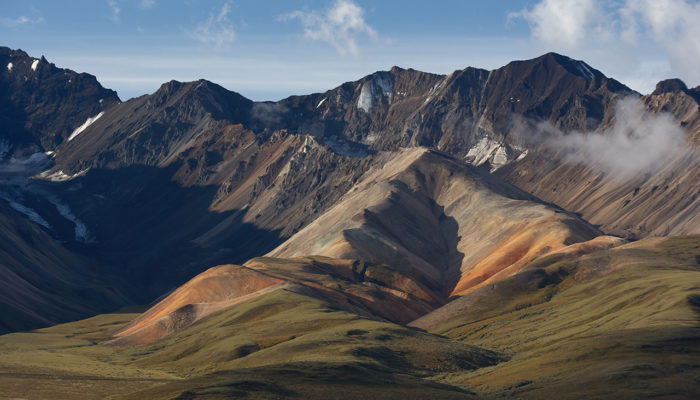
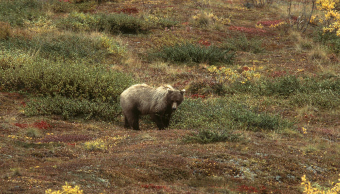
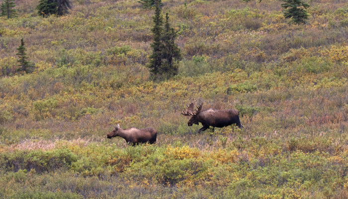
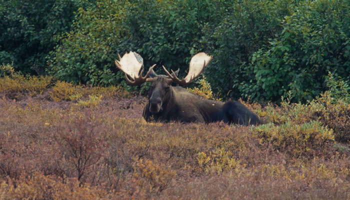
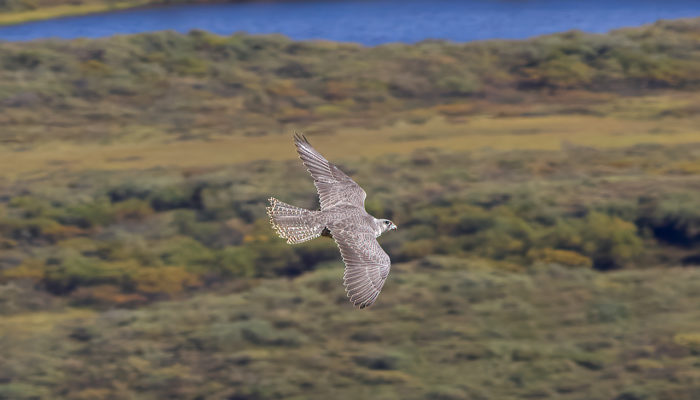
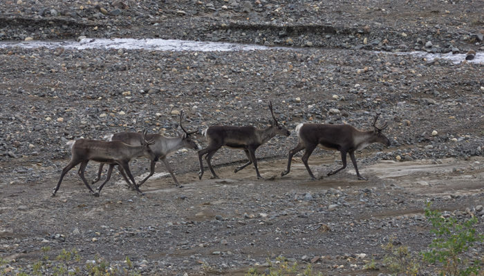
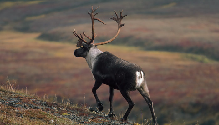
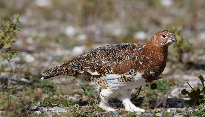
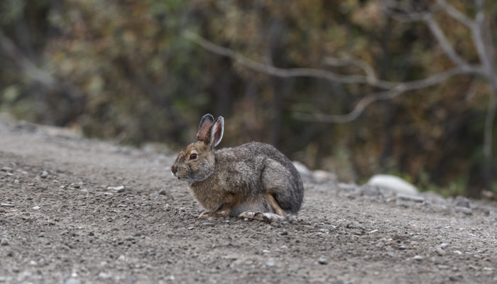
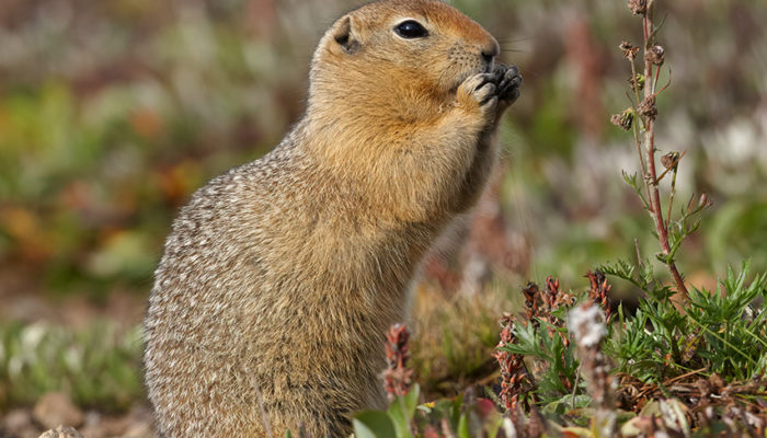
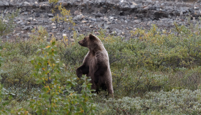
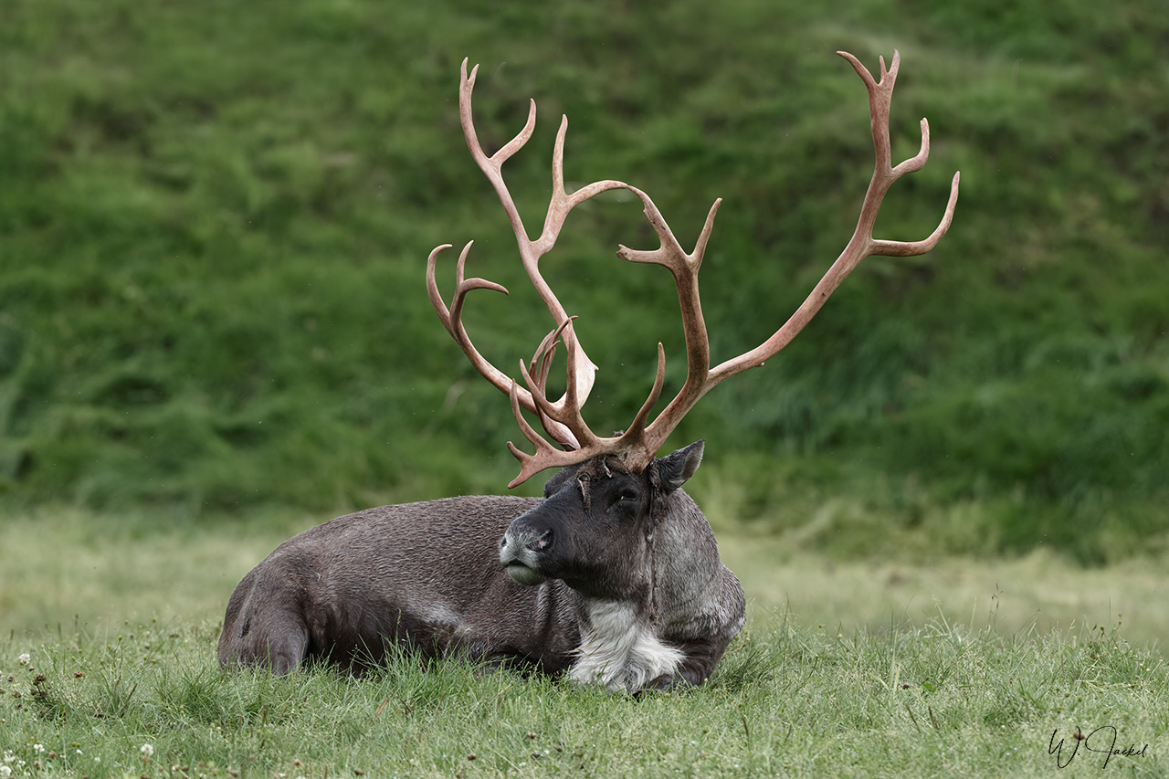
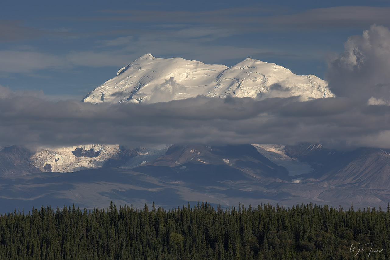
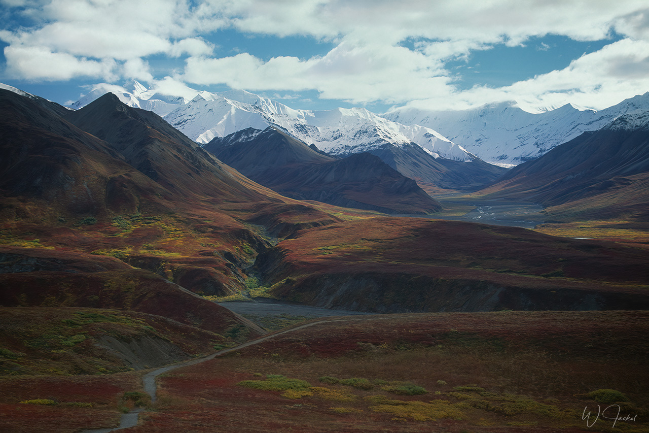
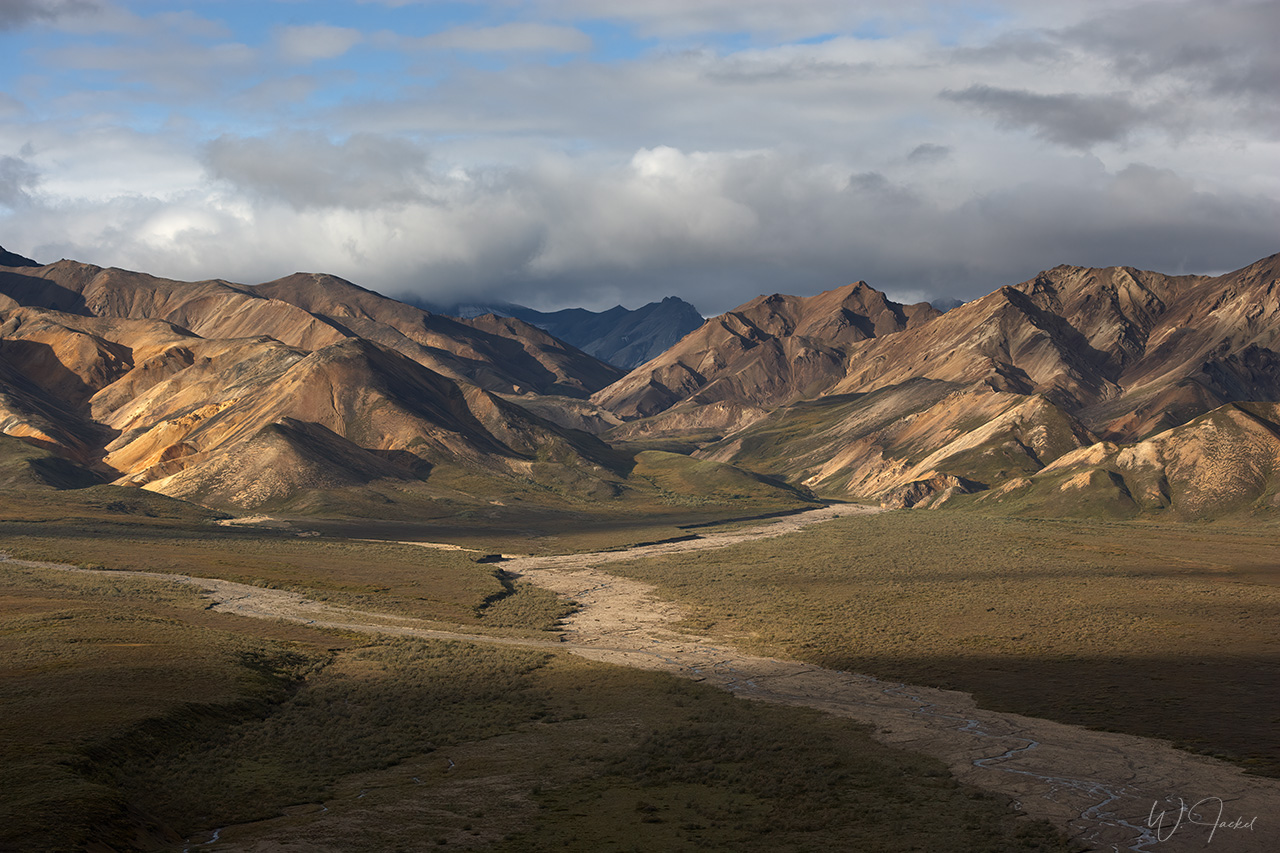
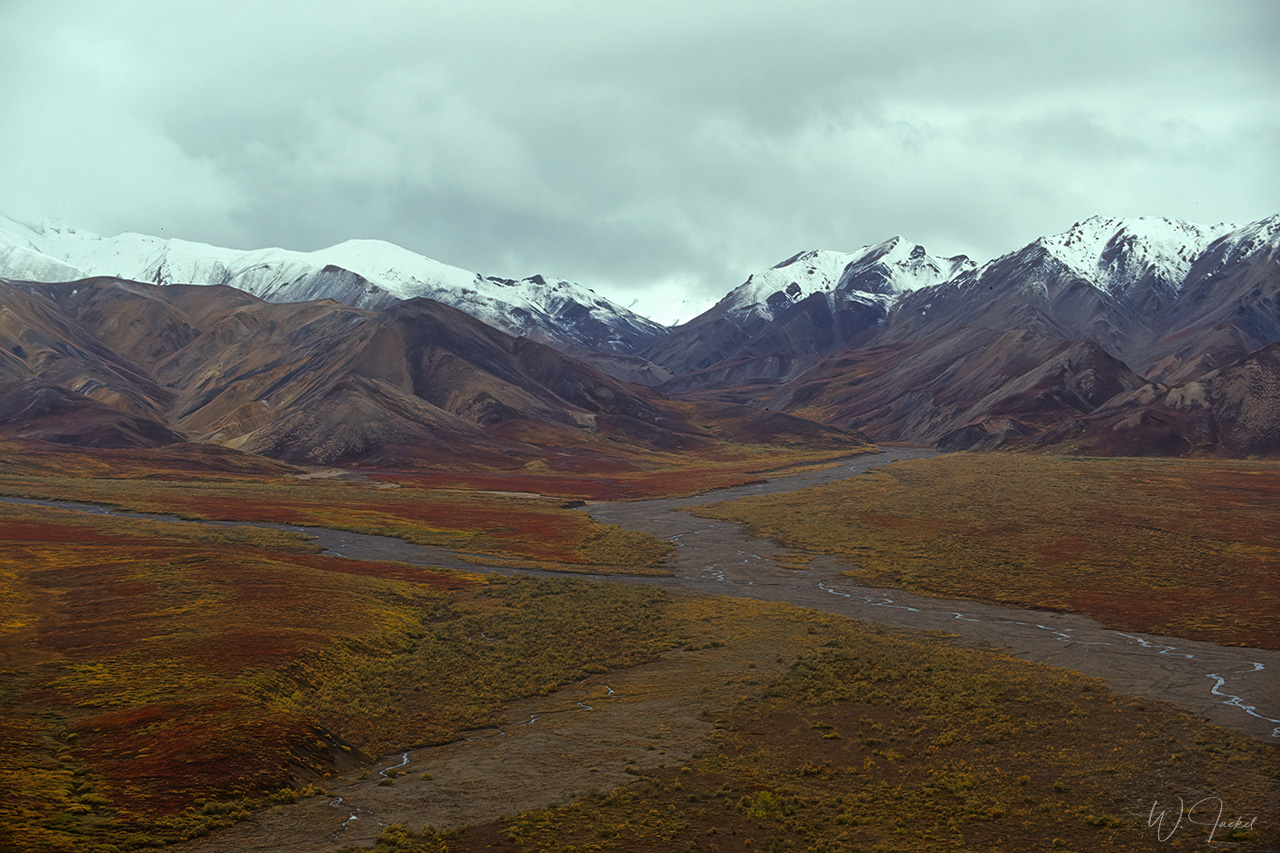
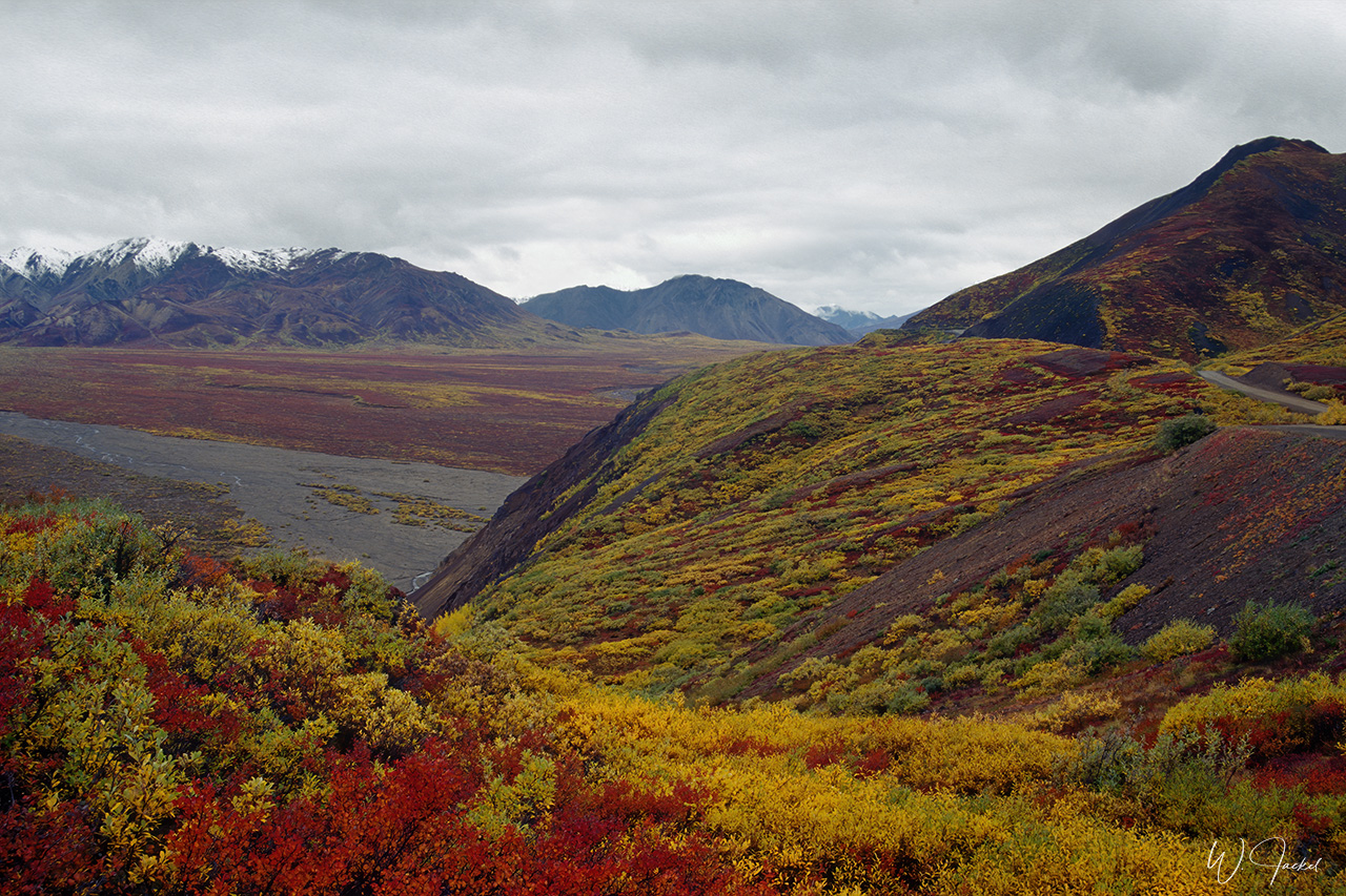
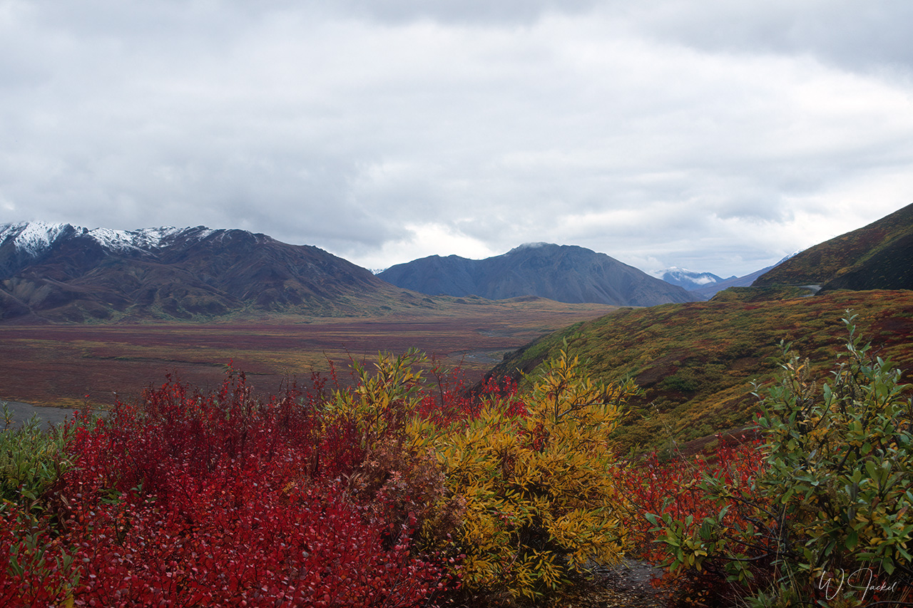
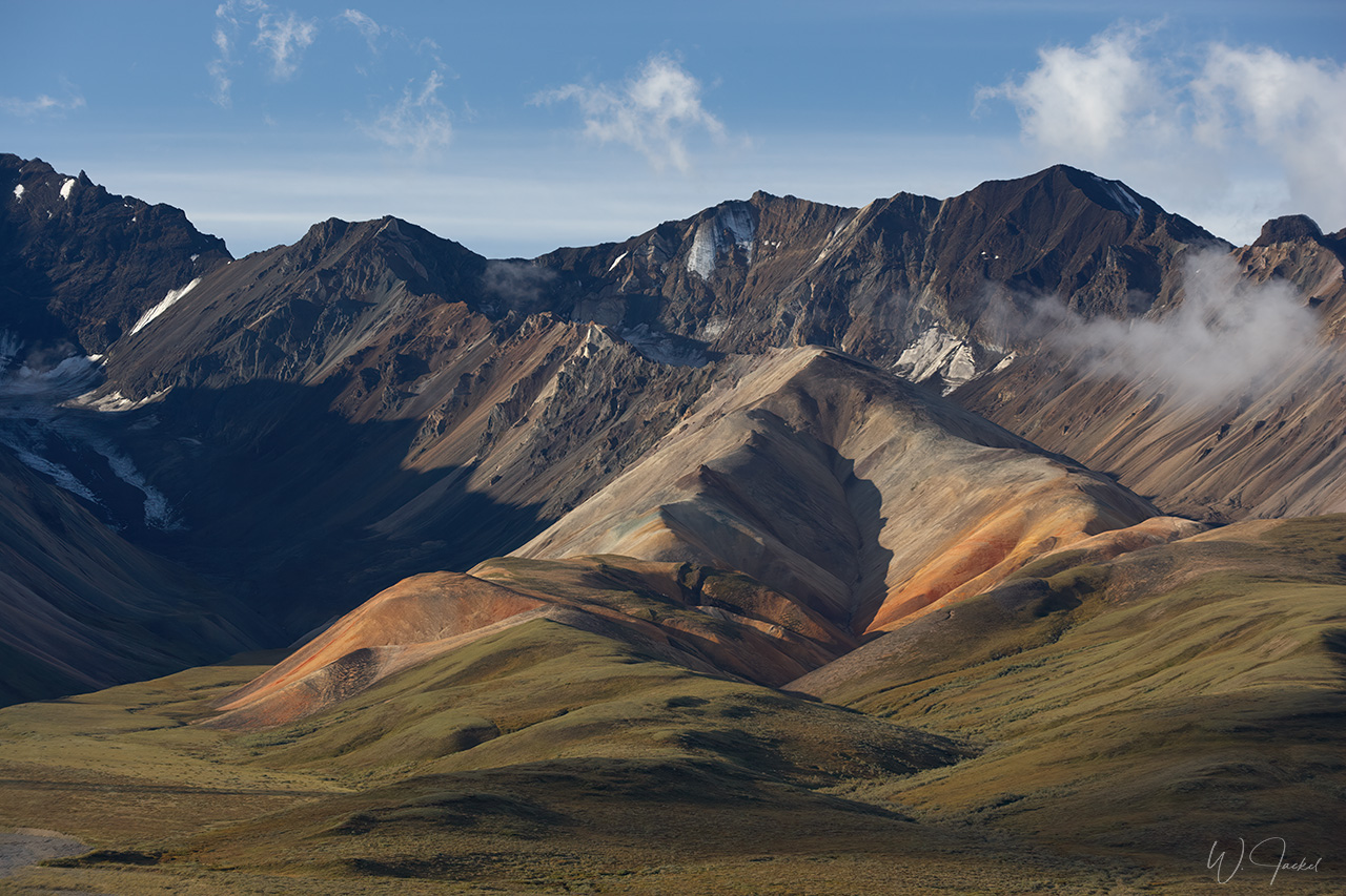
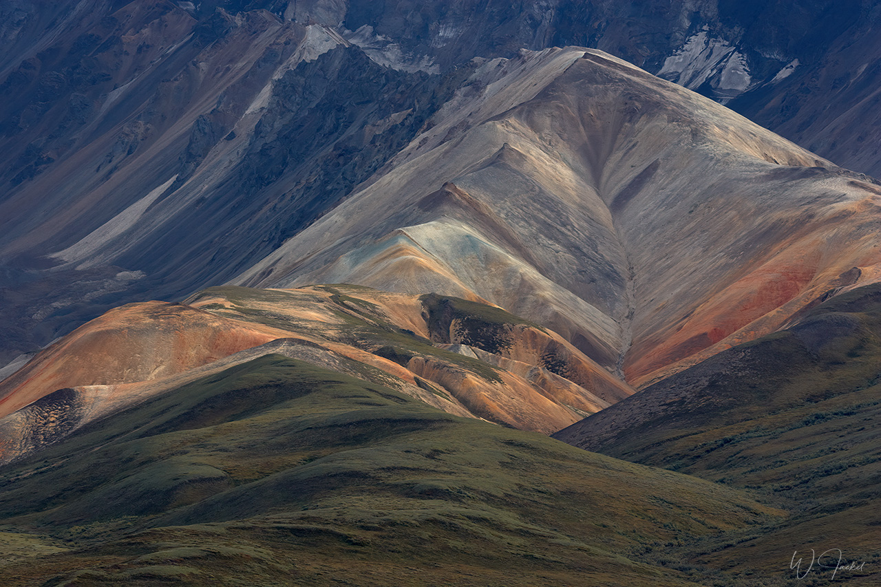
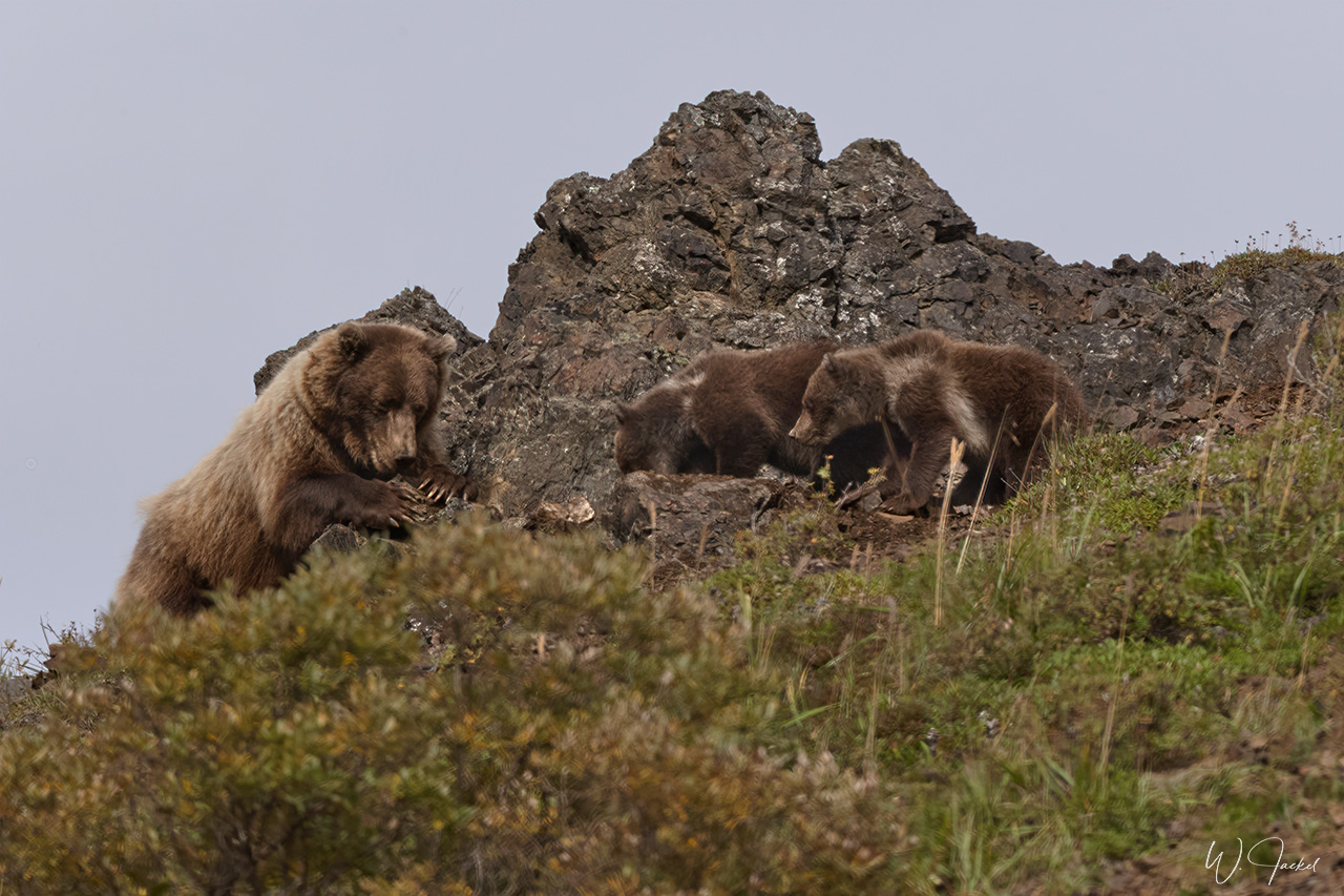
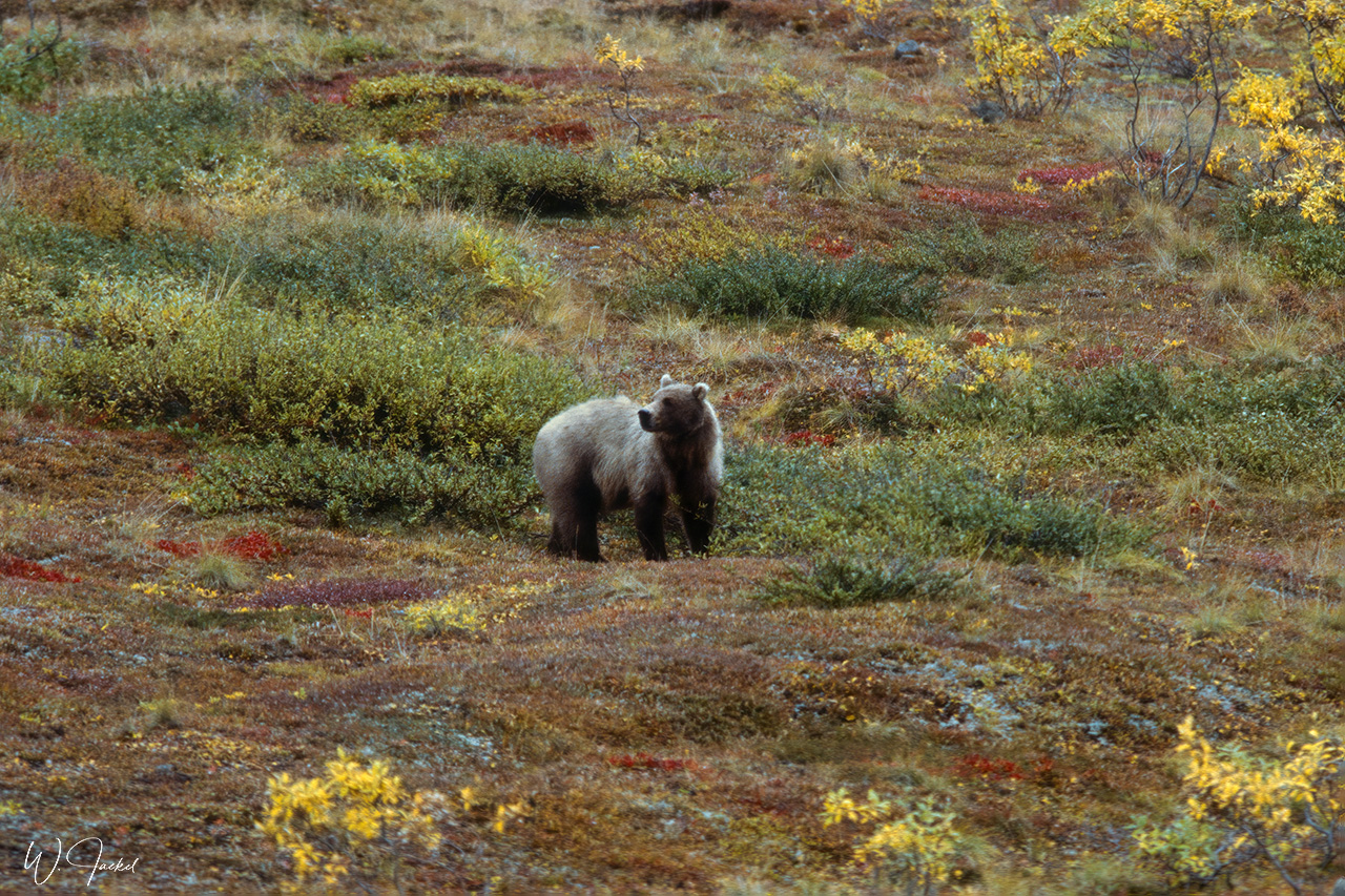
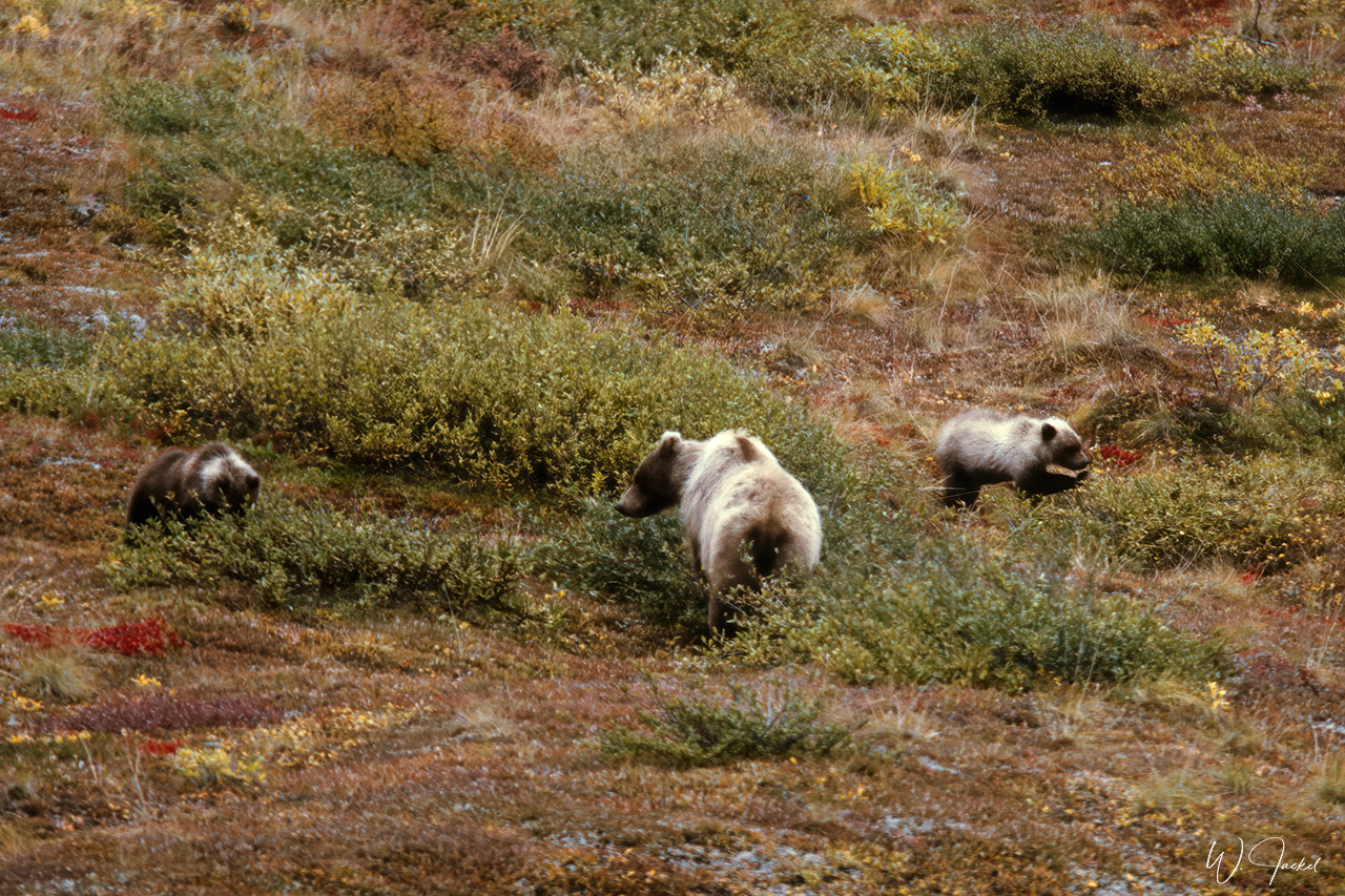
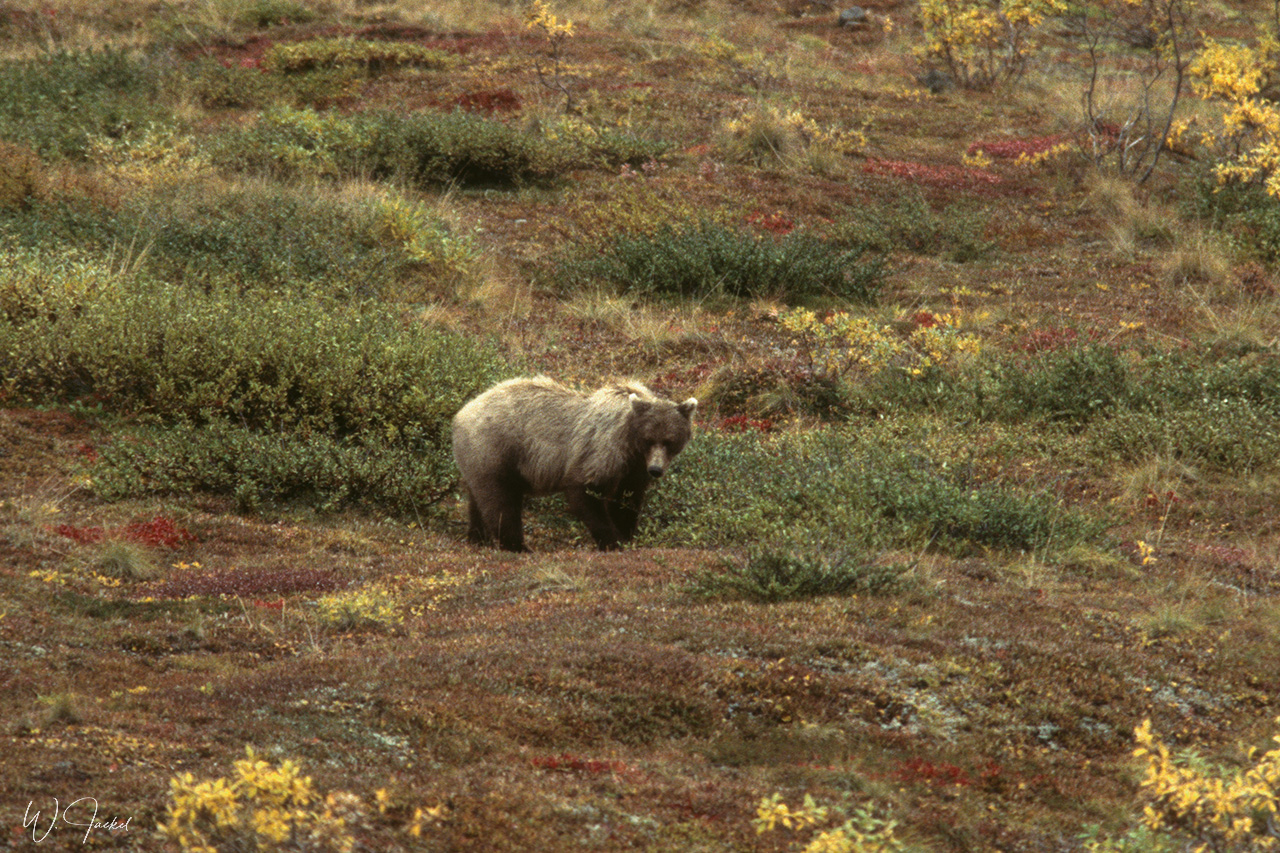
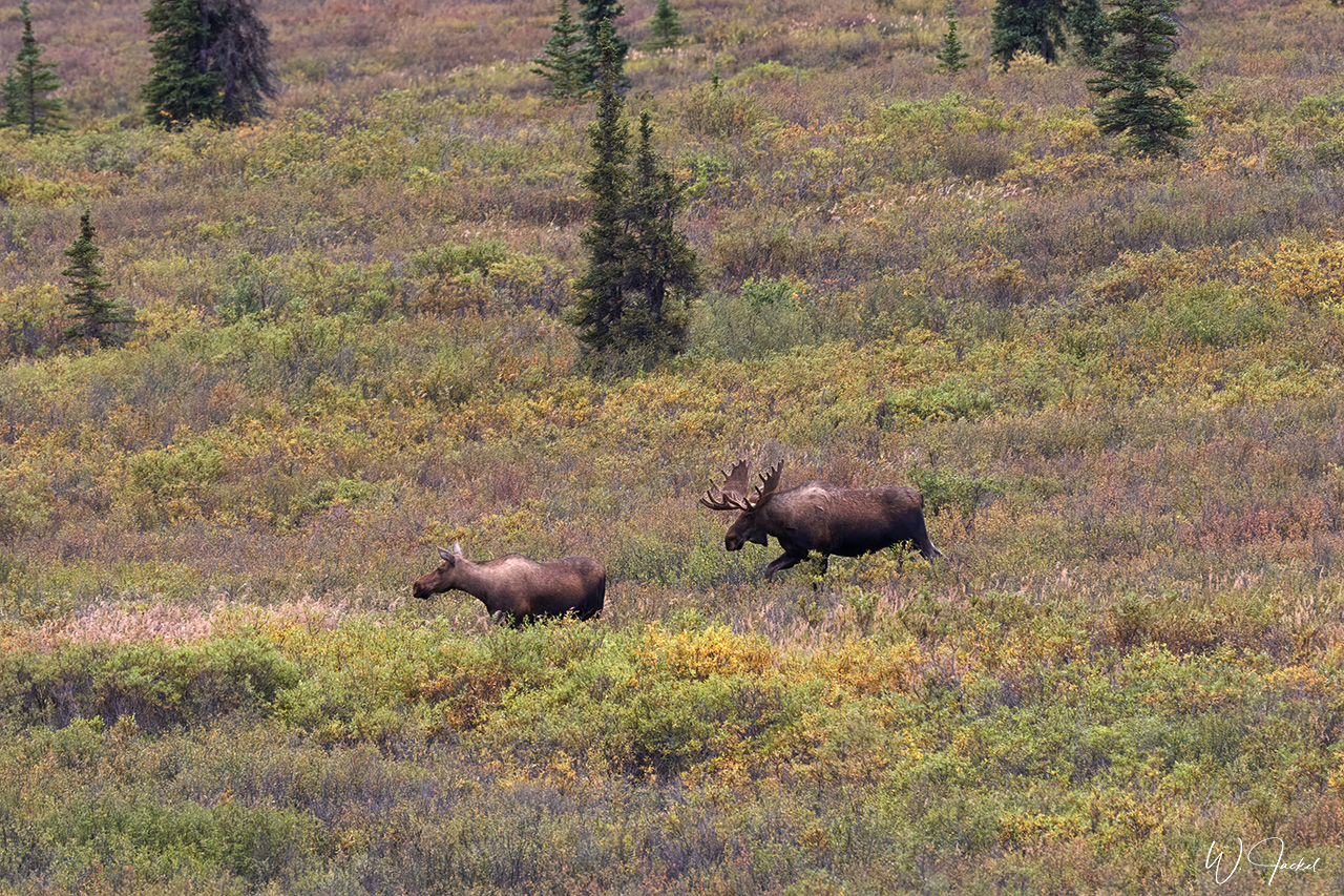
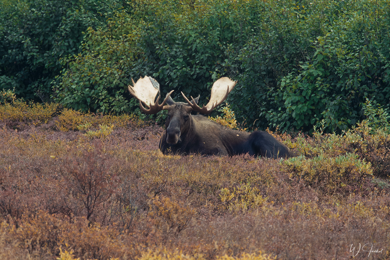
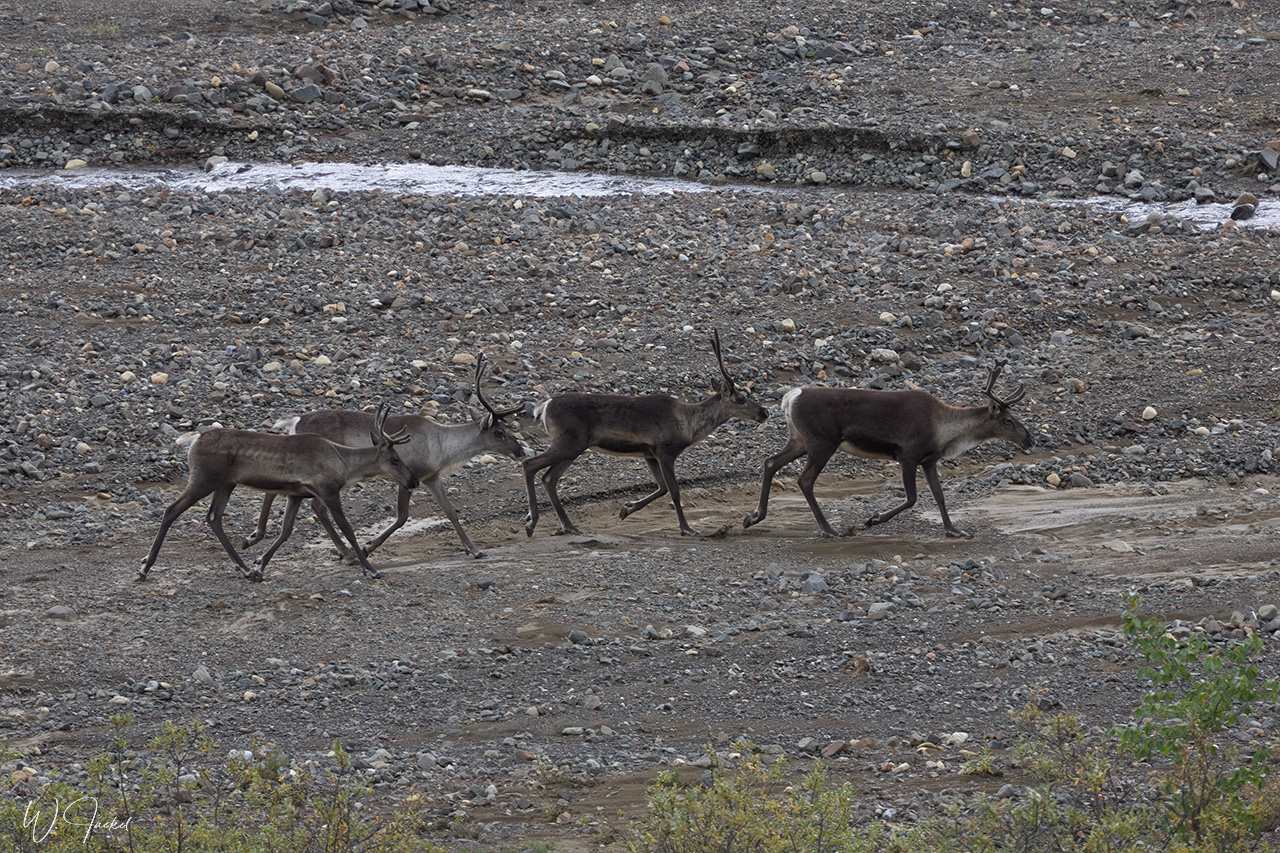
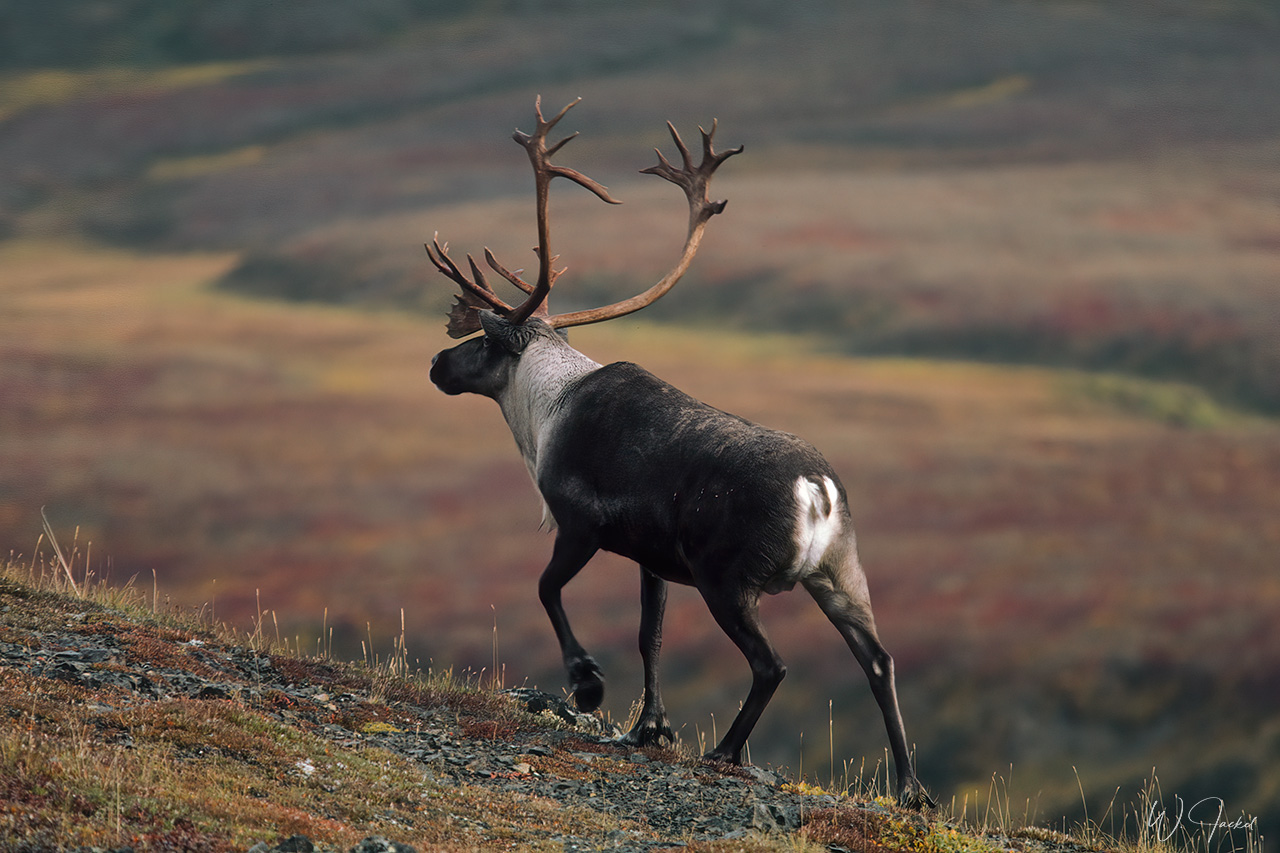
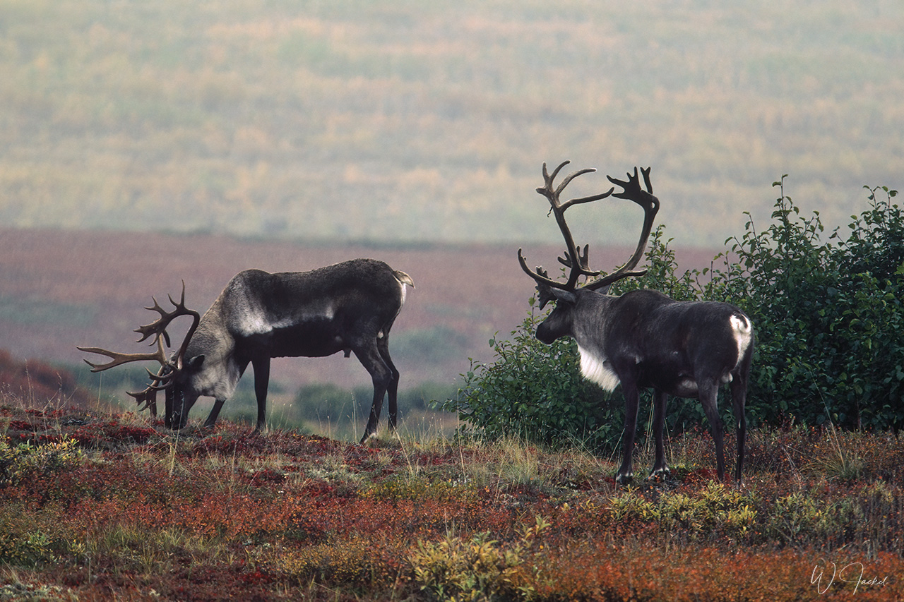
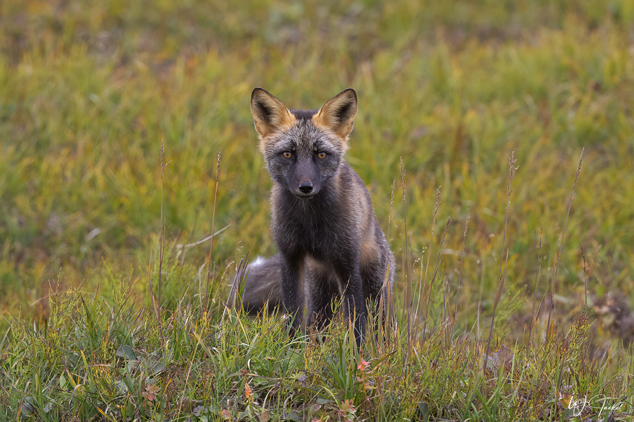
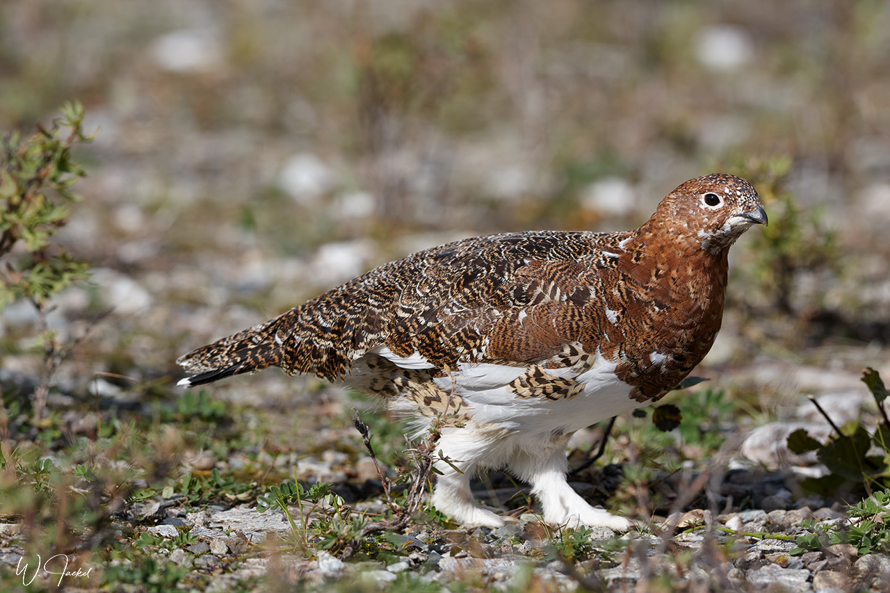
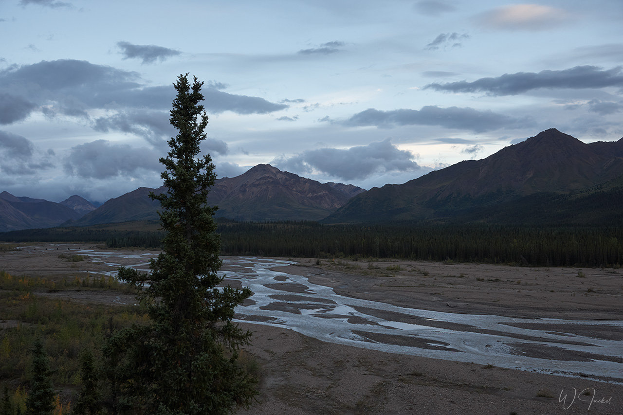
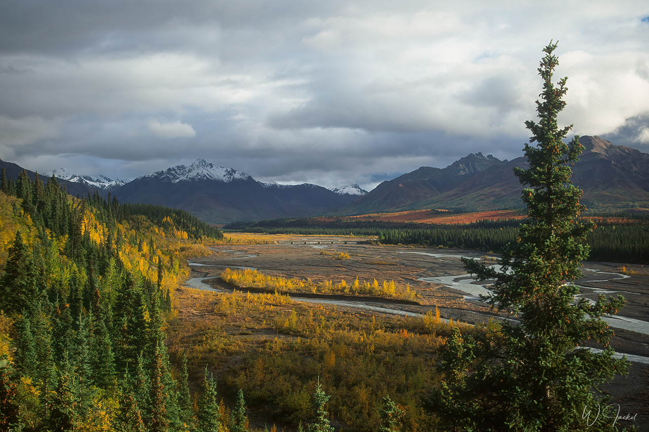
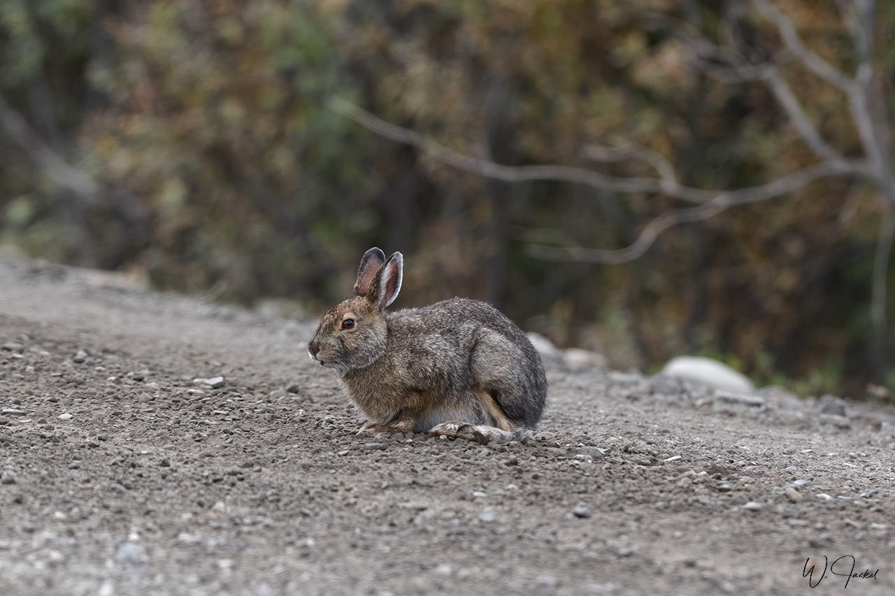
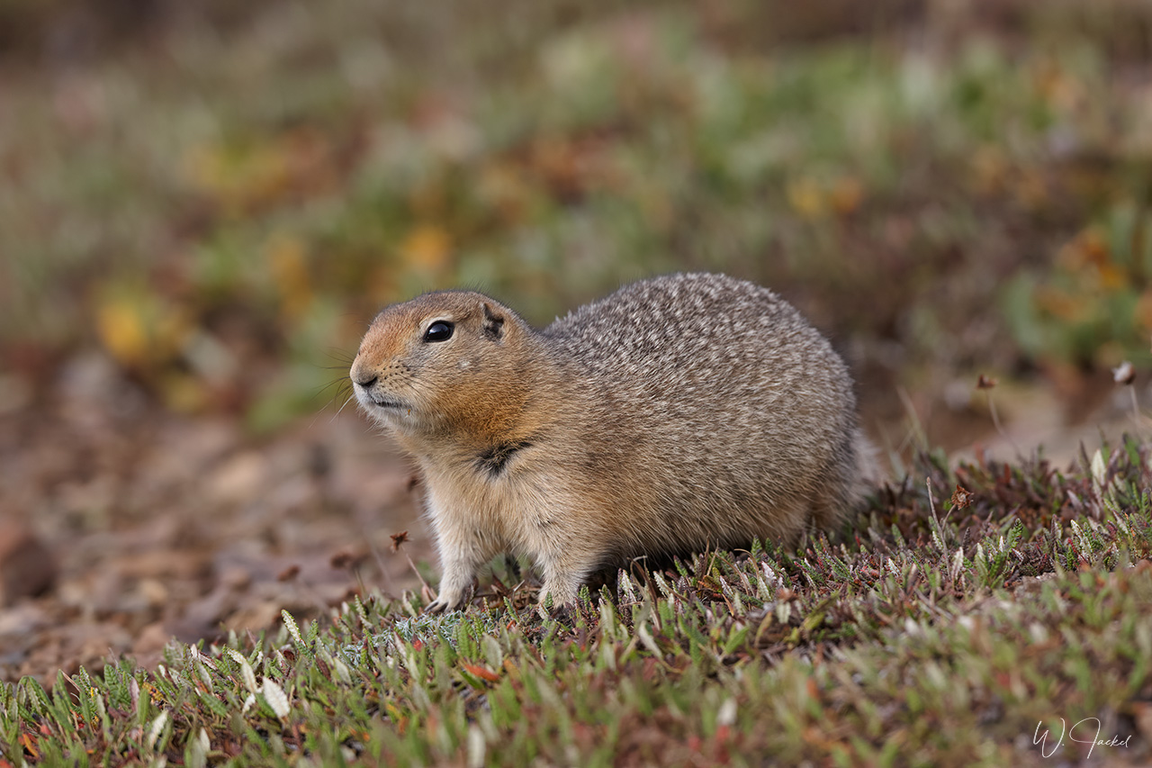
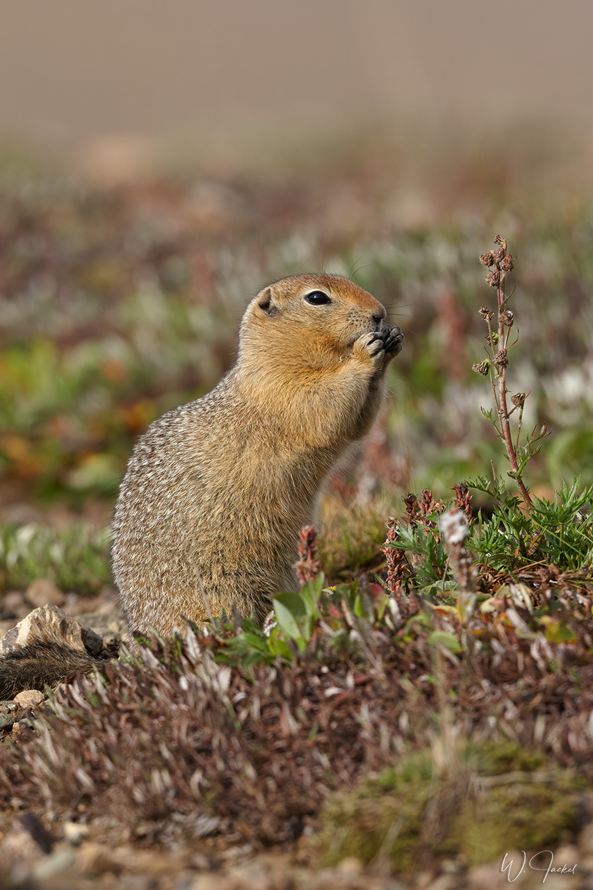
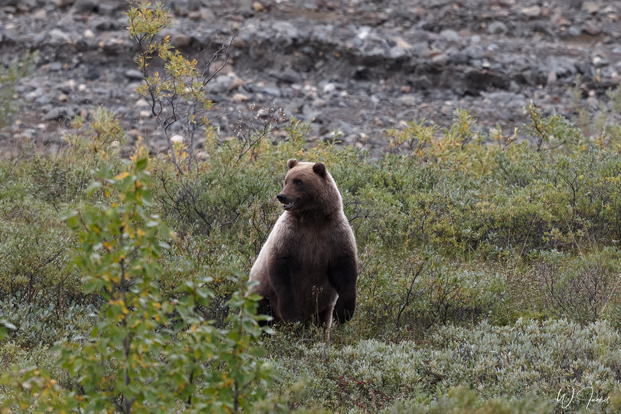
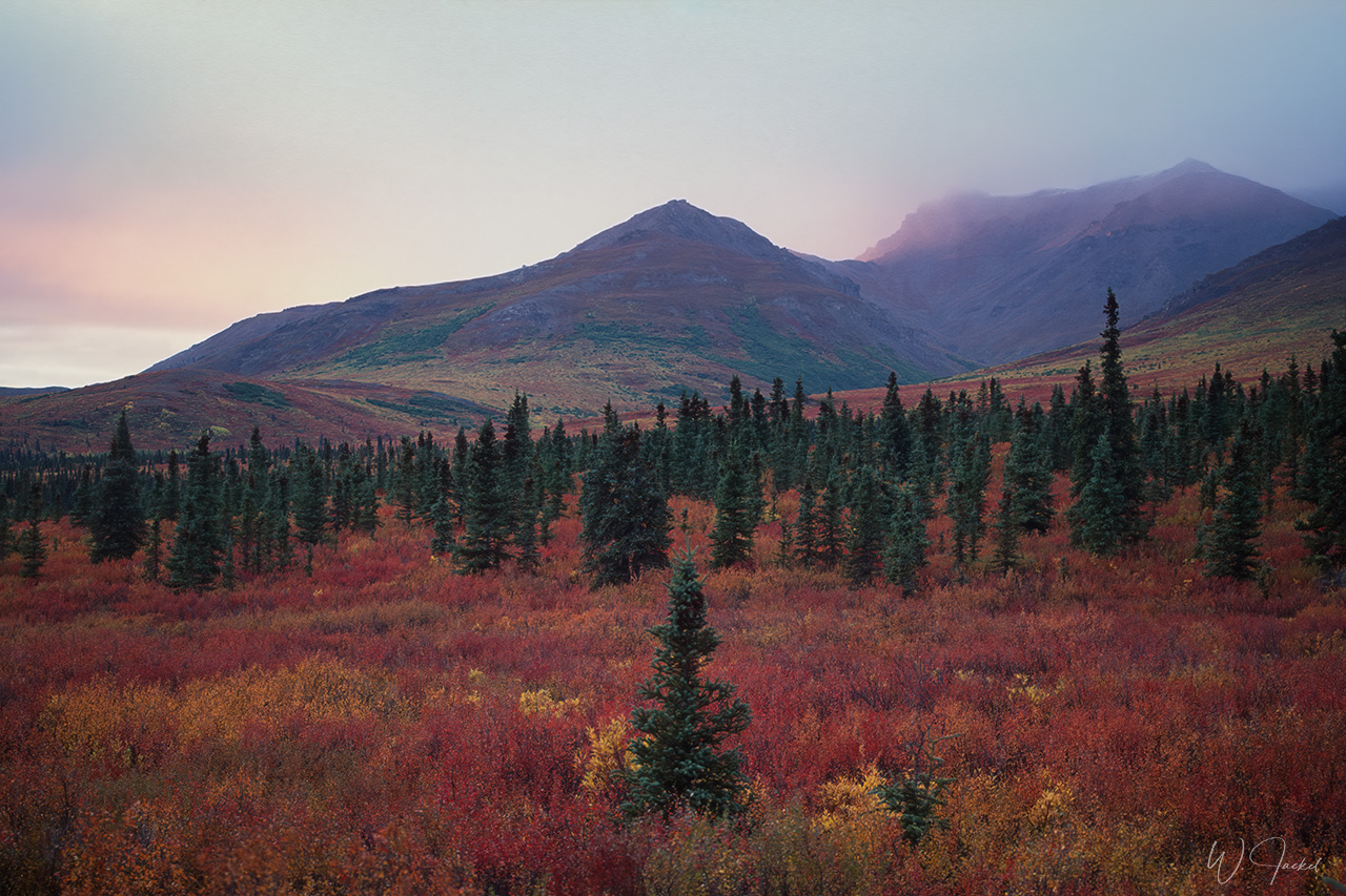
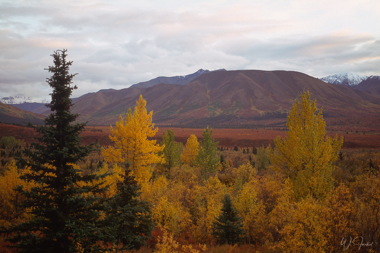
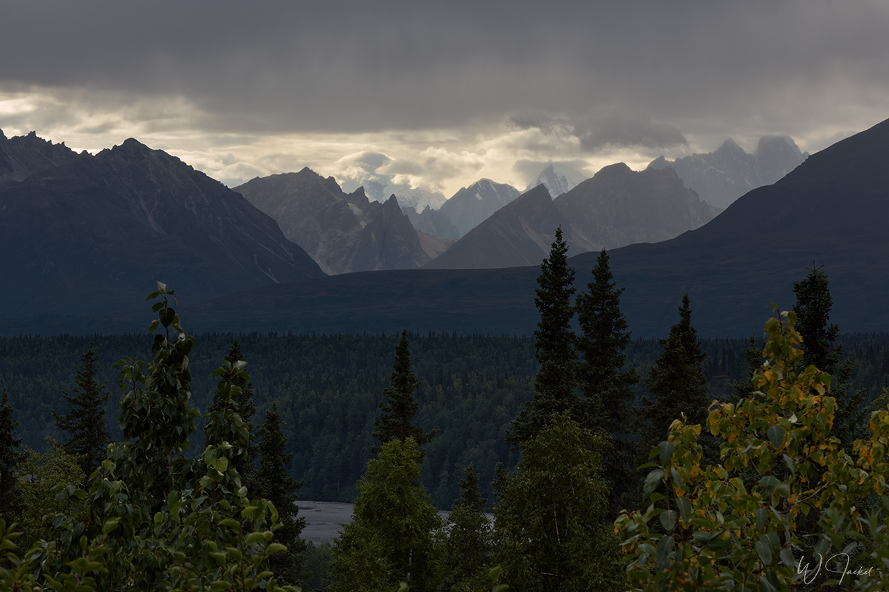
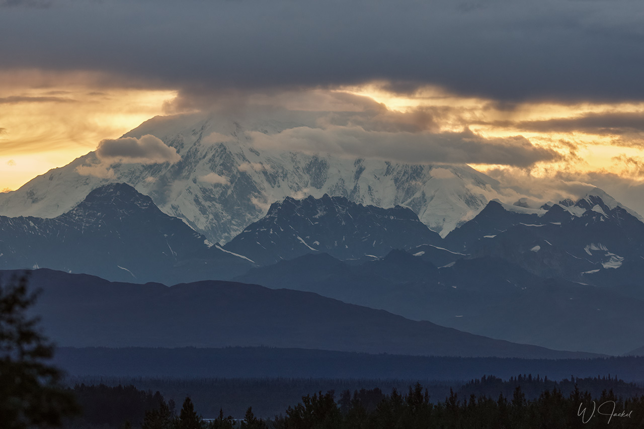
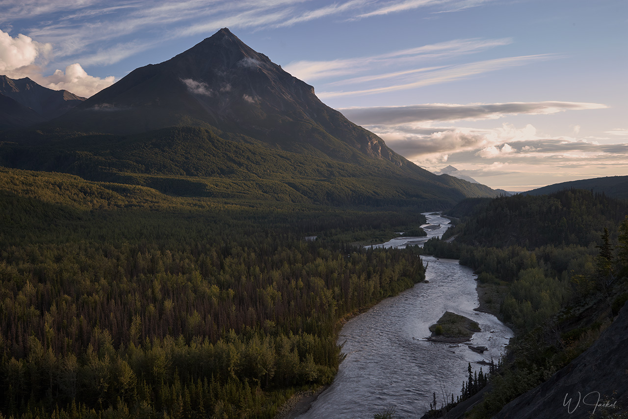
From Fairbanks we turned south again for a 3days stay at the Denali Nationalpark and Preserve, named after Mt Denali (formerly Mt. McKinley), the tallest peak in North America. Mt. Denali, meaning “the high one” in the Athabaskan languages, rises 6193 m above sea level. The park was established in 1917 as the first NP in Alaska and still is the largest in the US extending 24000 sq.km. Denali NP is a highlight of every trip to Alaska and a main reason for many travelers to visit the State – primarily for viewing the mountain and the spectacular landscape along the 140 km park route. But the park is also famous for its abundance of wildlife, including moose, caribous, foxes, Dall sheep, wolves, over 160 species of birds but first of all the grizzly and black bears, of course, we could spot several times. Denali has but the one road; access along the first 15 miles (24km) of the road is possible by any private vehicle; travel on the rest of the park road is largely restricted to shuttle bus services. You can get off and on the bus on several stops, though. Since we had a 3days reservation for the beautiful Teklanika River Campground, we were allowed to drive the distance of 29 miles (46.6 km) into the park on both of our trips.Teklanika campground is the furthest one inside the park and also the furthest you can drive before taking a bus is required .Once at the campground, the vehicle must stay in the campsite for the duration of the visit.
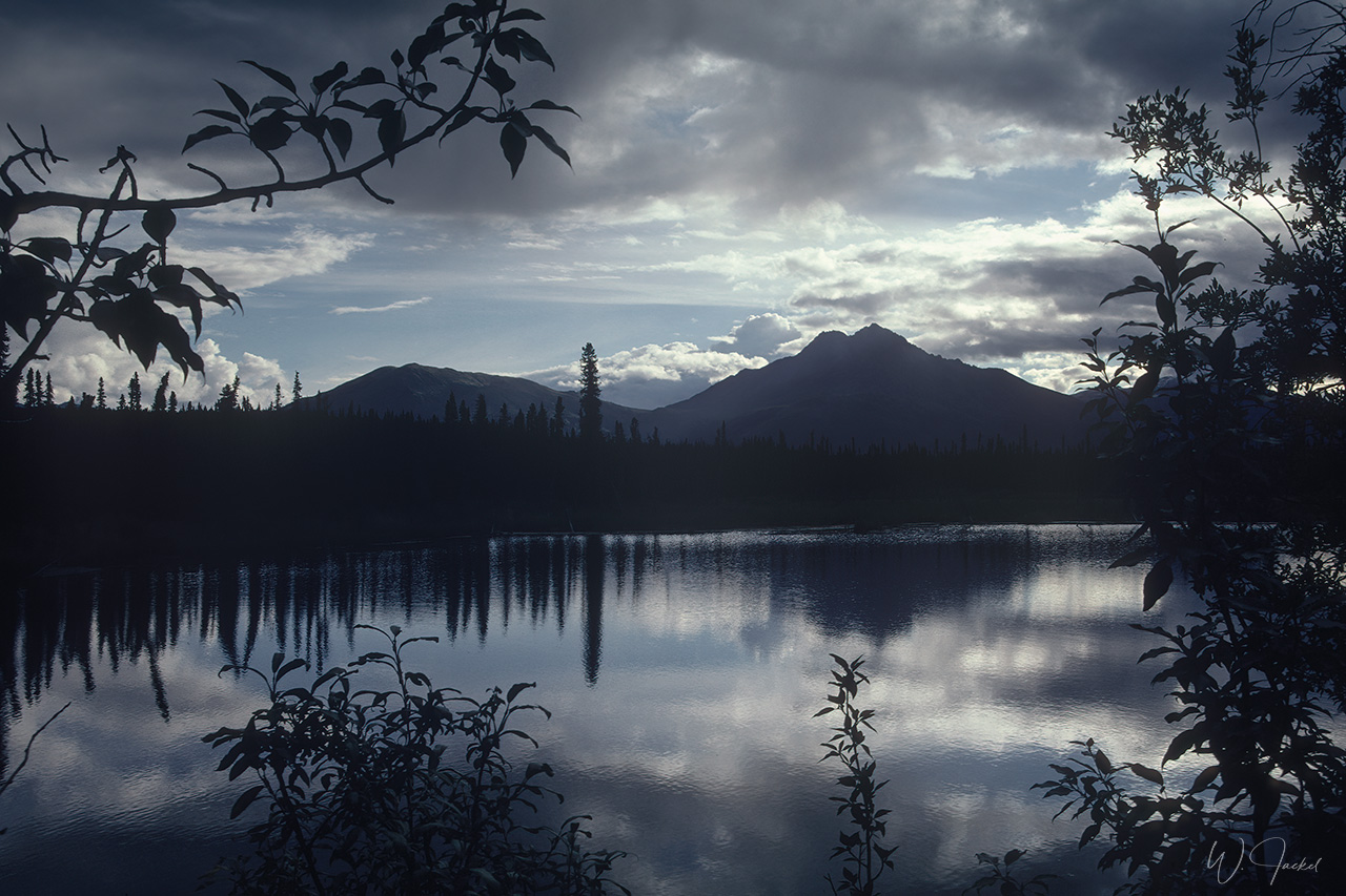
We visited the Denali NP on both trips of 1999 and 2007 for 3 days. It was a great experience. Given the colors of the tundra and boreal forests in the Indian Summer in 1999, the landscape was particularly beautiful by then. From Denali we drove back via Talkeetna and Palmer to Anchorage. While we directly returned back home in 2007, we took an extension flight to Katmai for a 3-days stay in 1999.
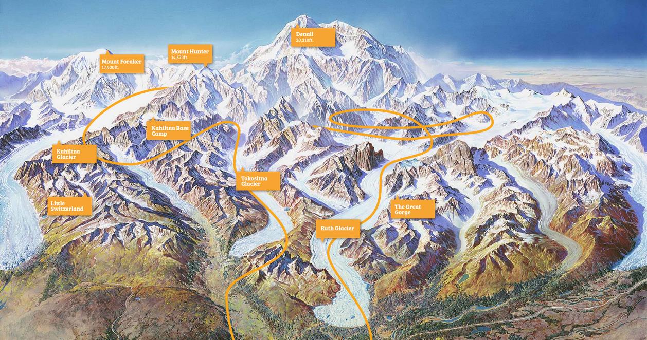
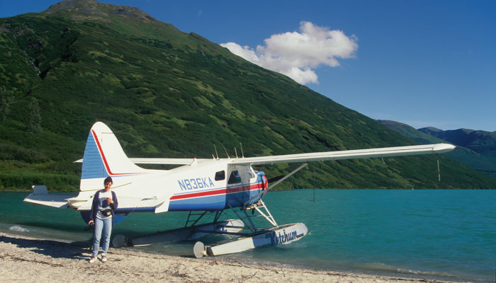
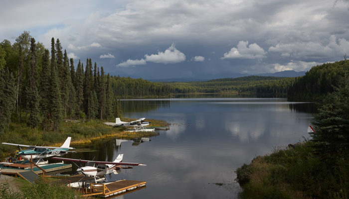
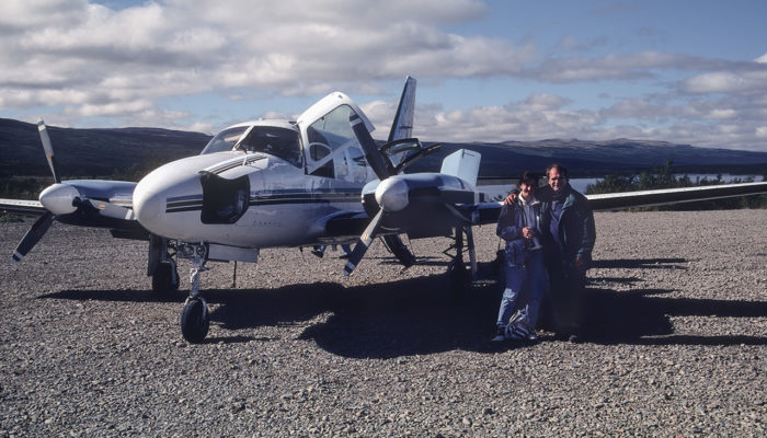
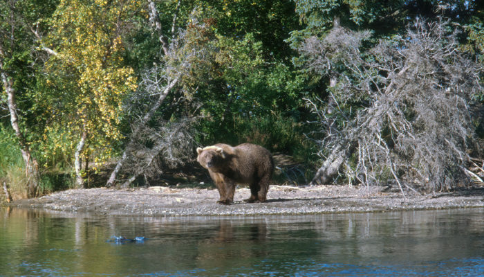
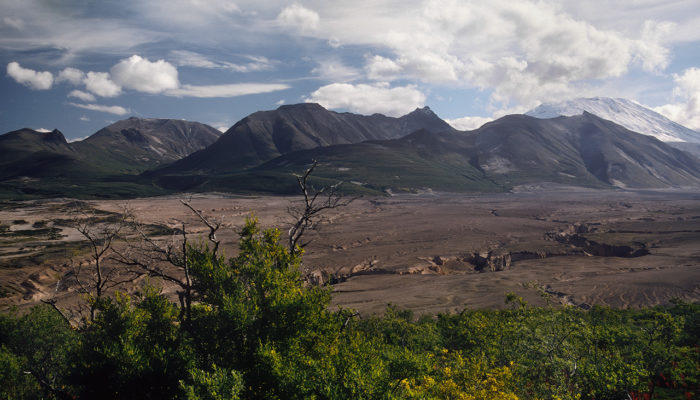
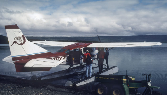
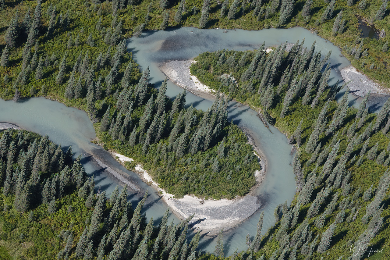
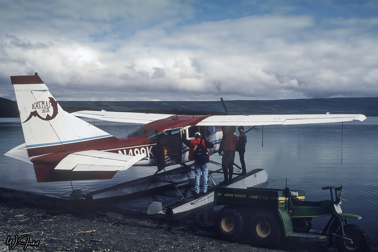
The Katmai NP and Preserve encompass around 16,564 sq.km of wilderness around Mt. Katmai volcano, situated in southwest Alaska at the head of the Alaska Peninsula – across from Kodiak (see map above) It’s almost exclusively accessible by plane or boat. We took the air taxi flight from Anchorage to the Kulik Lodge airstrip at Katmai and continued by float plane to the Naknek Lake close to the Brooks Lodge – our final destination.
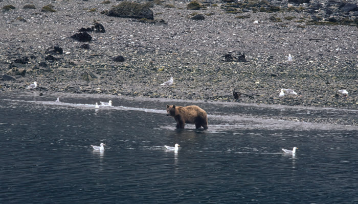
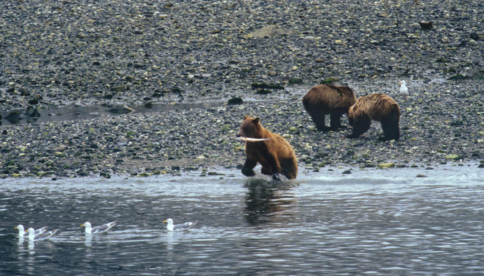
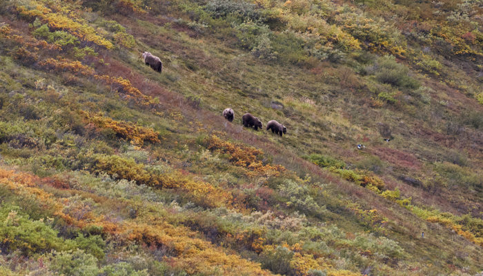
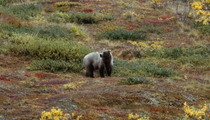
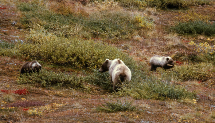
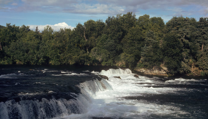
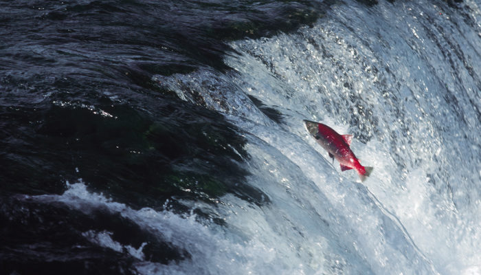
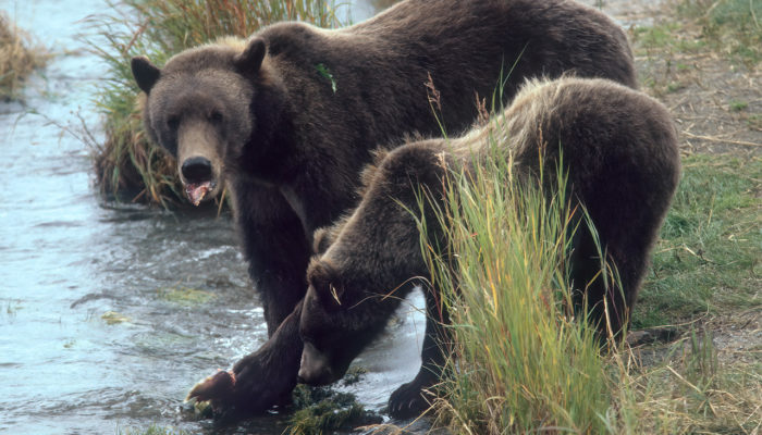
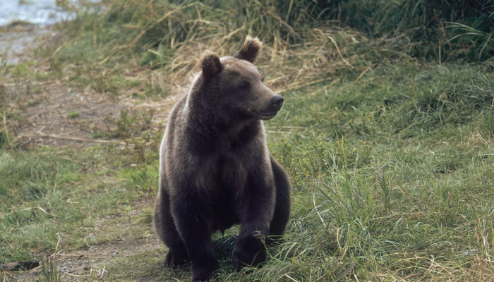
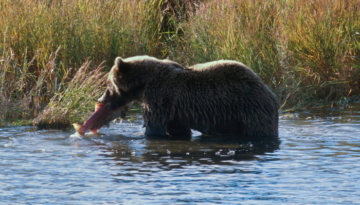
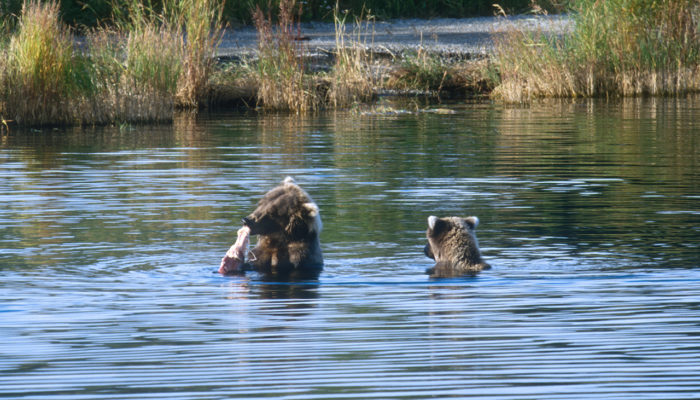
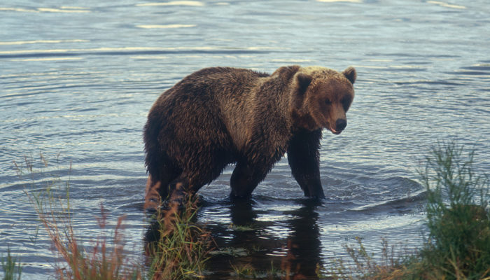
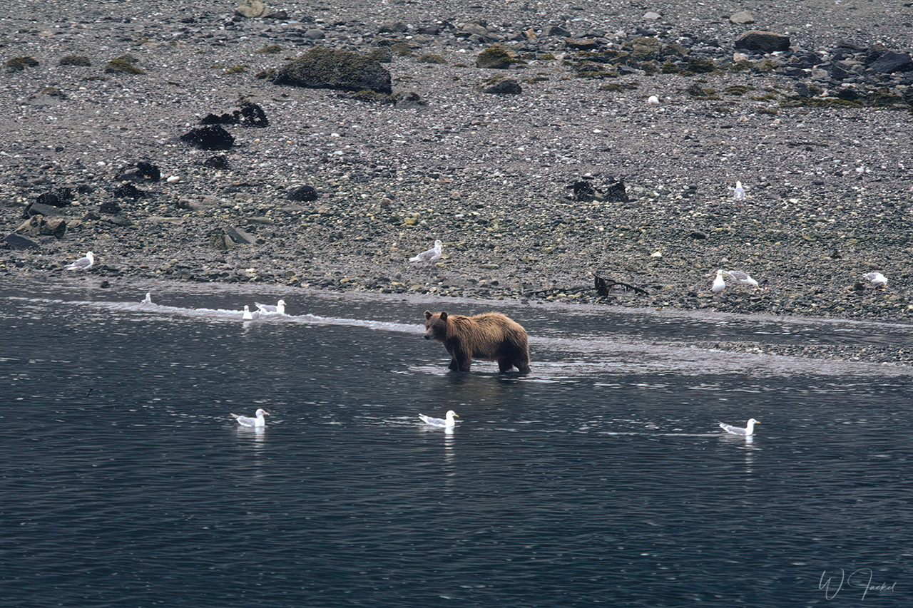
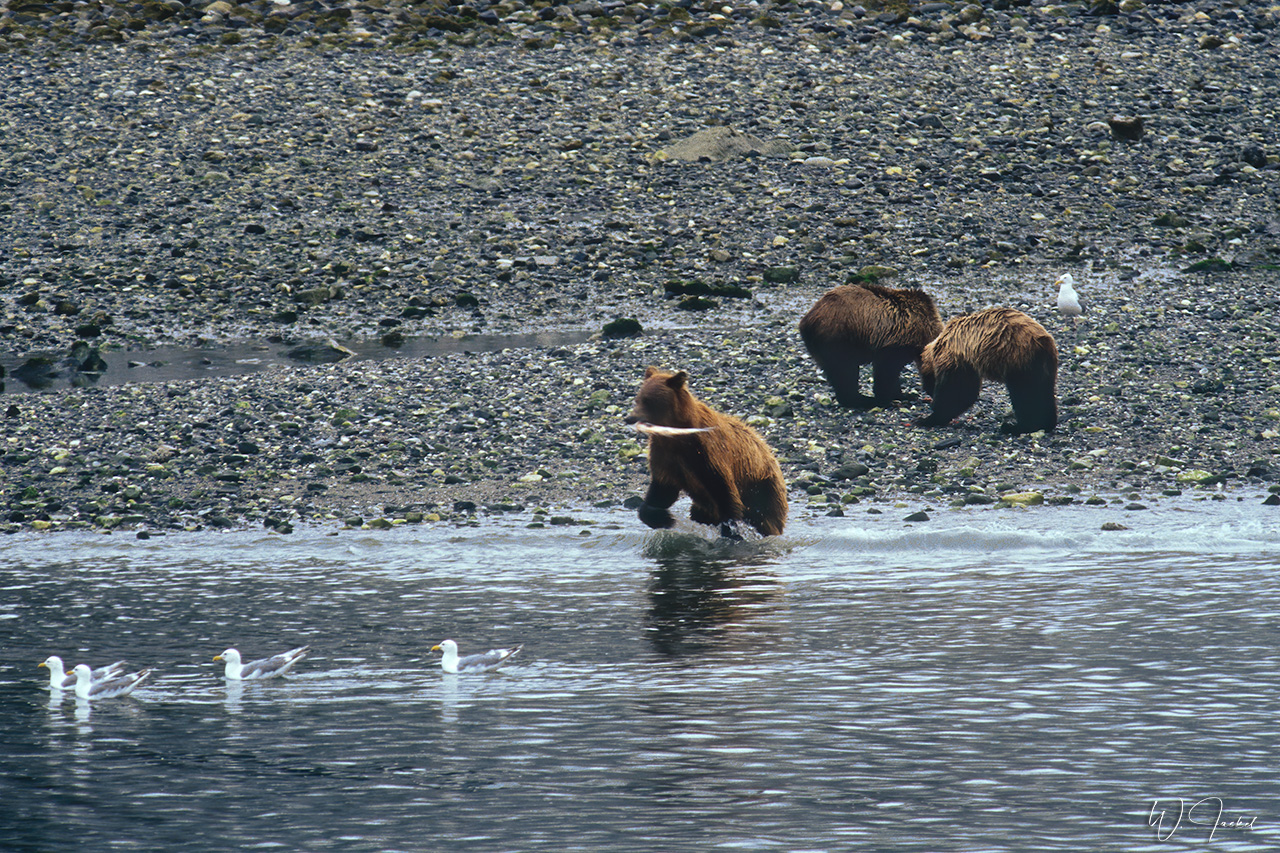
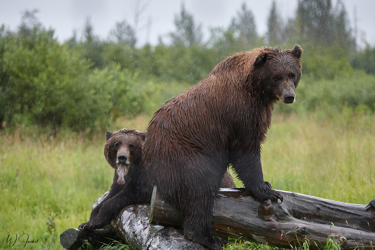
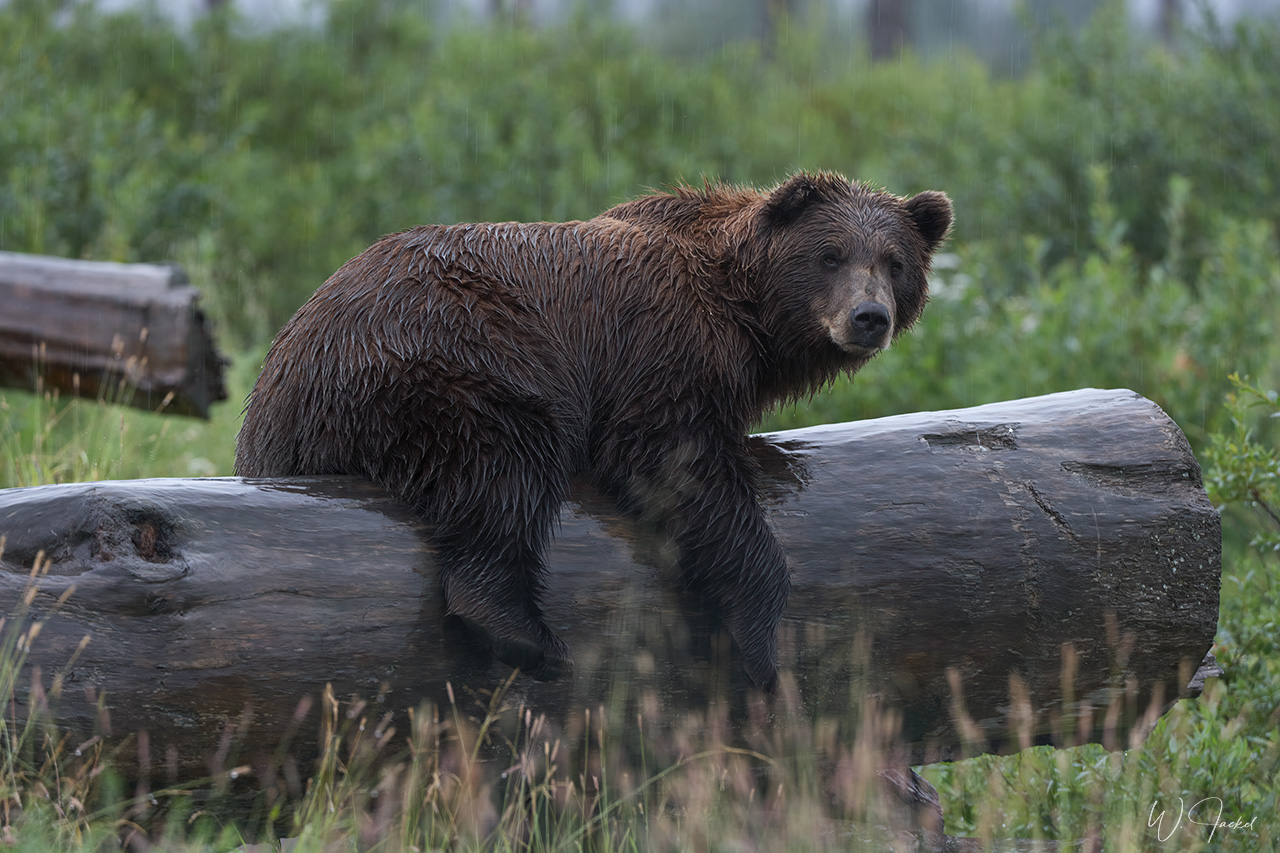
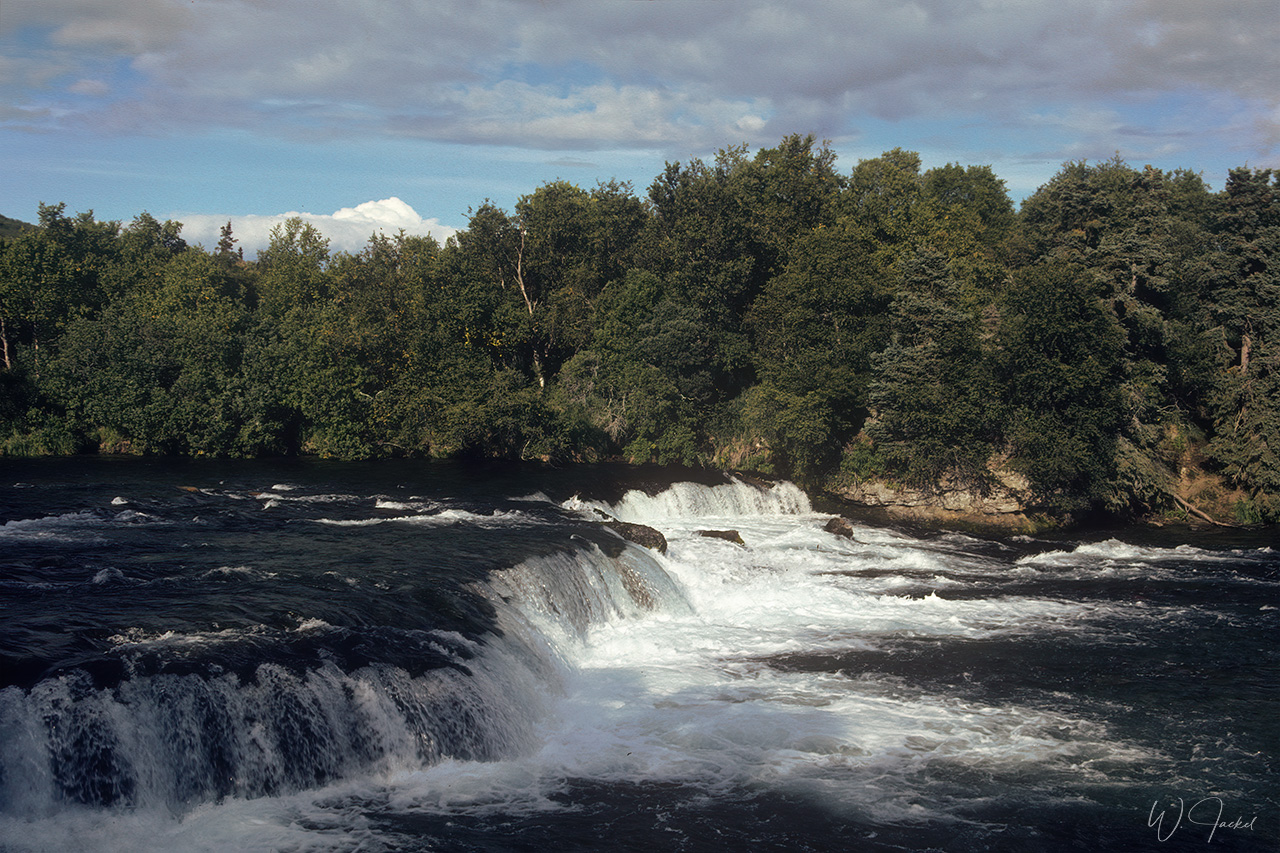
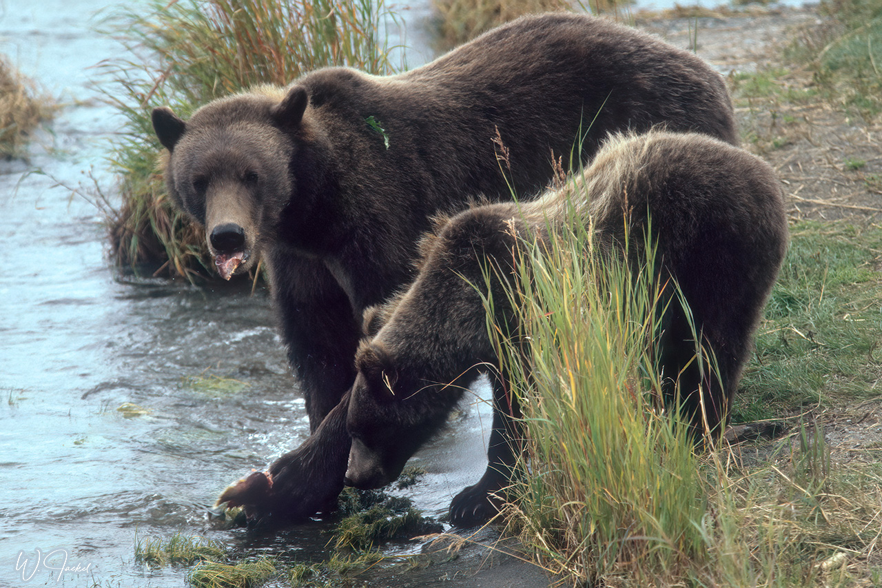
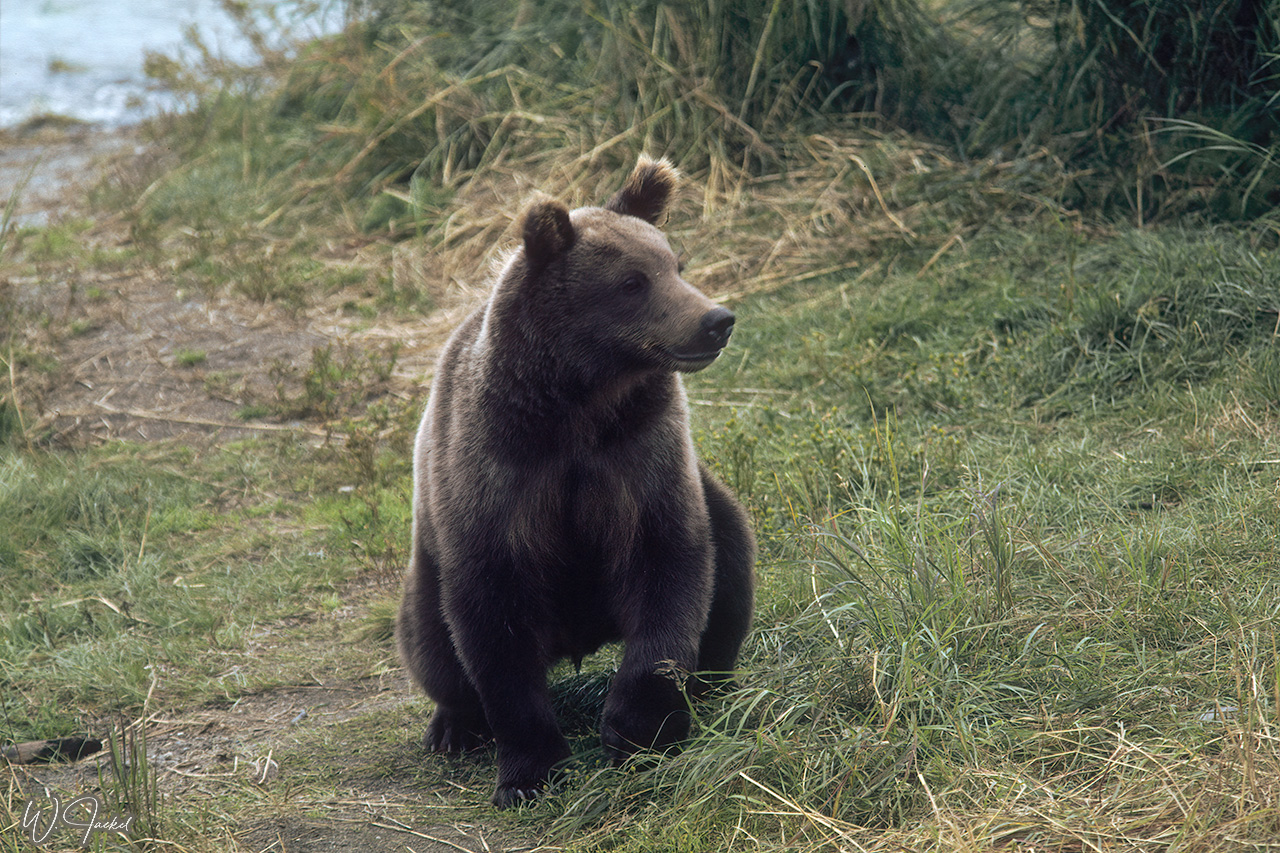
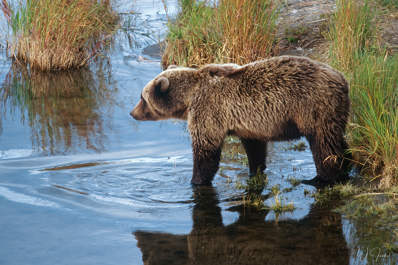
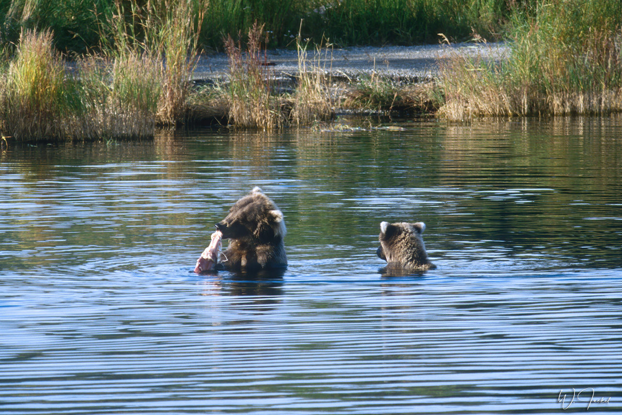
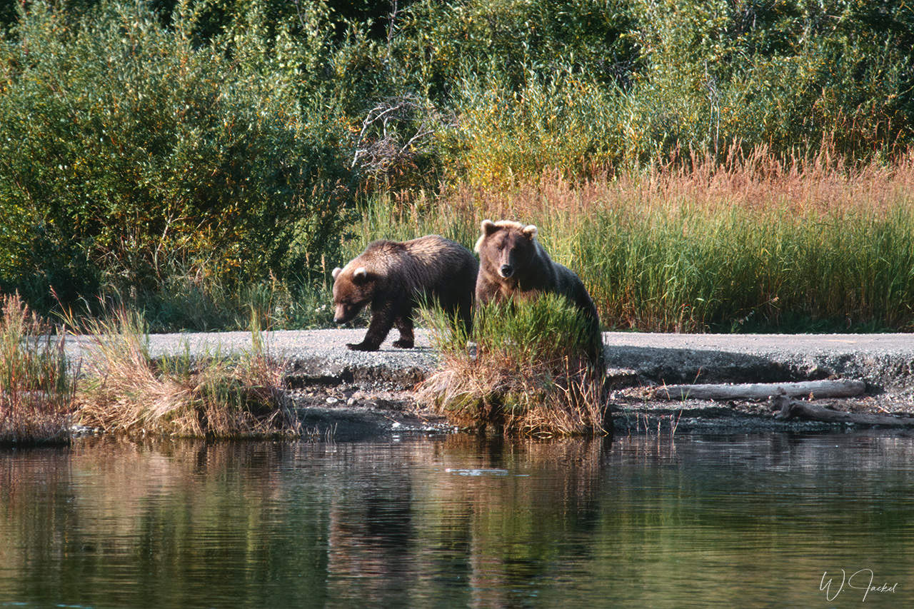
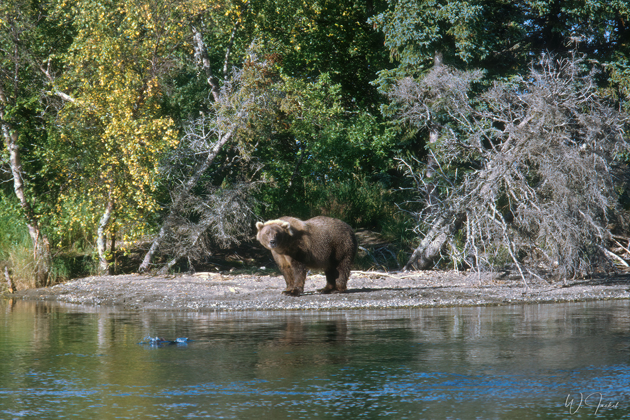
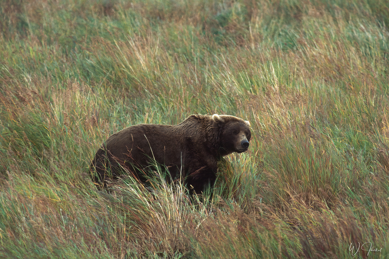
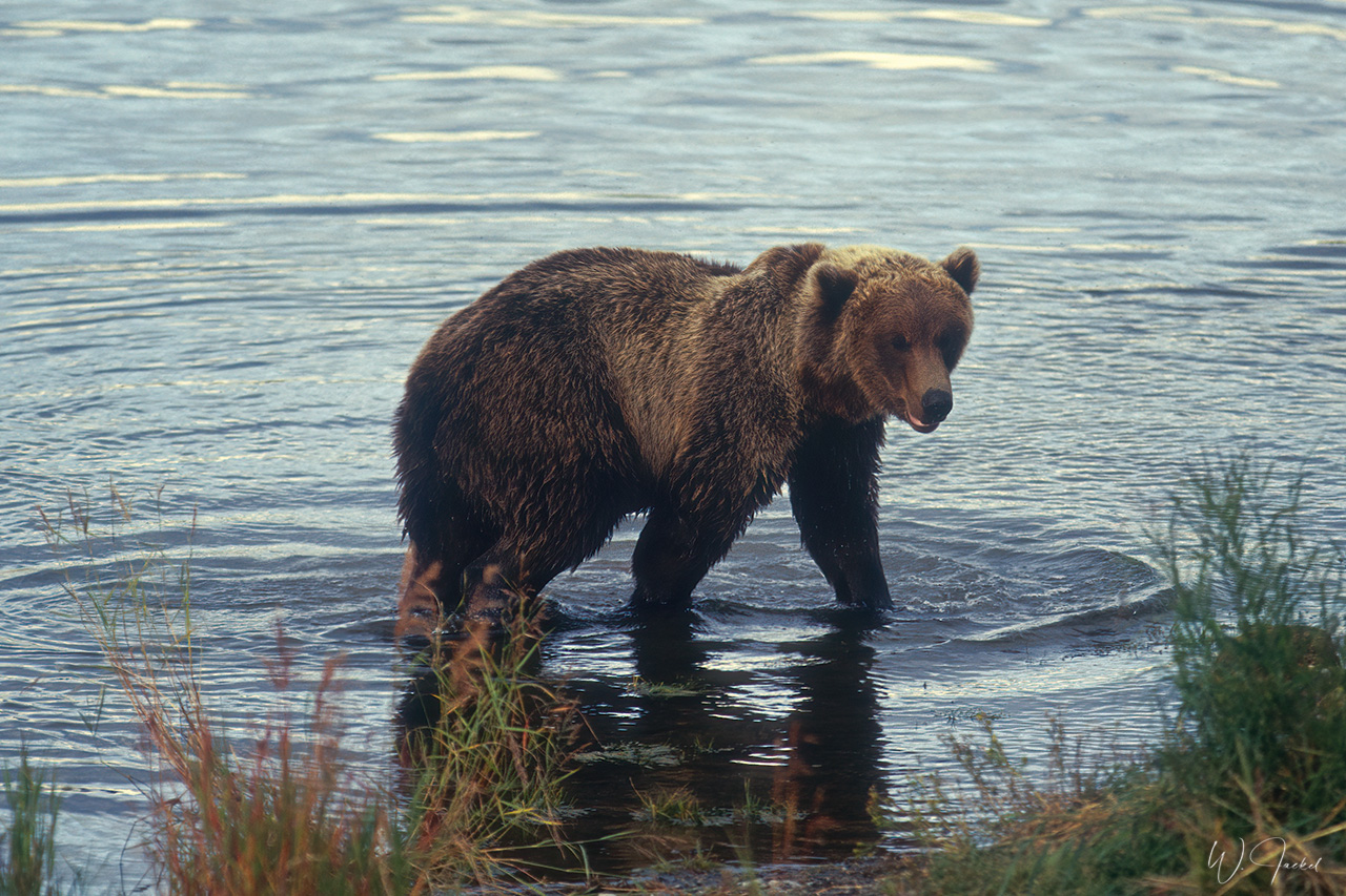
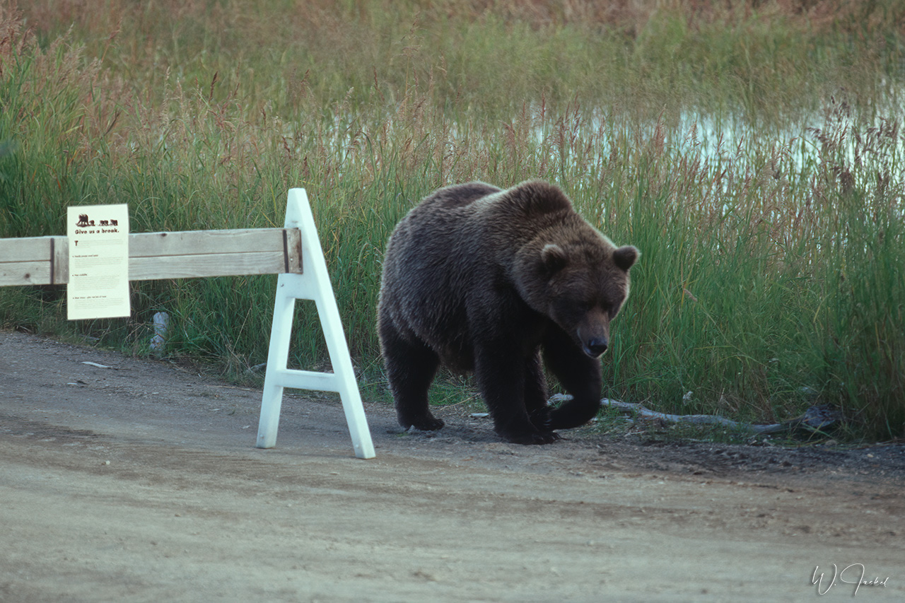
The park and preserve is one of the premier brown bear viewing areas in the world – the main reason for us to visit the place. About 2200 brown bears are estimated to inhabit the park, many of them congregating on Brooks River to feed on sockeye salmons. There are several viewing platforms around Brooks Camp. But you have to walk on a forest path to the platform at the Brooks falls – quite adventurous to avoid bear encounters. During the peak of the salmon migration in July the bears are especially concentrated at Brooks Falls to catch the fish trying to get over the barrier. That’s why during peak season, this famous spot has become pretty crowded with photographers and visitors from all over the world. Meanwhile, the access is limited to 40 people and one hour viewing time for each person. Nowadays, tripods are banned there during the season, too. In 1999, there was no problem. However, since we were there in late August, we didn’t happen to see bears at the falls but lots of them in the lower half of the Brooks River as they searched for dead and dying salmons.
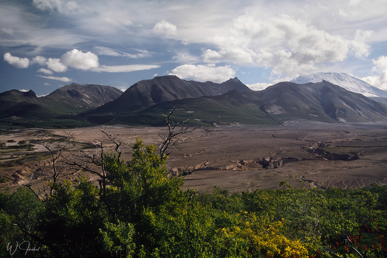
Katmai initially was designated a National Monument in 1918 to protect the volcanically devastated region surrounding Novarupta volcano and the Valley of Ten Thousand Smokes, another attraction of the park. It is an ash-filled wasteland, created by the largest volcanic eruption of the 20th century in 1912 that released 30 times the volume of magma of the 1980 eruption of Mount St. Helens. Any water buried by the ash or that percolated into it flashed into steam. The vents where the superheated steam emerged became the fumaroles that inspired the name Valley of Ten Thousand Smokes. At present the valley has been partially eroded and streams have cut canyons.
The trip to Katmai was an exciting completion of our 1999 tour. We afterwards returned to Anchorage for the flight back home via Seattle and London.
Final thoughts: Both round trips in 1999 respectively 2007 through Alaska and Yukon were great experiences offering an incredible diversity of impressions and lasting memories we are grateful for – all the more in awareness of the dramatic changes that have taken place in the past decades and continue at accelerated speed, especially concerning the retreat and vanishing beauty of the glaciers we still could admire at the time of our journeys.
Photography:
As mentioned in the introduction, the images of the first roundtrip still were captured on film – most of them on Kodachrome 64, some on Fuji Velvia 50 and a few on Kodak EBX 100.They were digitalized with the Nikon Coolscan 4000 ED filmscanner @ 4000 lpi using the Silverfast Ai 8 scan software and post processed with Lightroom 6, Topaz Denoise AI and Photoshop CS 6. For more details of the procedure and limitations, please see the description of the trip to the Seychelles.
I used the Canon 28-70mm/f 2.8 L USM, 20-35mm/f2.8 L USM and 80-200mm/f 2.8 L lenses on Canon EOS 1-N and EOS-3 bodies. For wildlife I only had the 300mm/f4 L USM + 1.4 Ext. at that time. Close-ups were shot with the 100mm/f.2.8 macro lens
In 2007, I had switched to digital photography, using the Canon EOS-1Ds Mark II, EOS-1D Mark II and the new released EOS-1D Mark III on the trip with the latter causing troubles due to AF inconsistency – a known and widespread issue with this body. The images were shot with the 24-105mm/f4 IS USM, 24-70mm/f2.8 L USM, 70-200mm/f2.8 L IS USM, 35mm/f1.4, 100mm/f2.8 mm macro and 300mm/f2.8 L IS USM (optionally with 1,4x II or 2,0 II Extender).The Raw files were processed to 16bit Tiffs with Capture One and tweaked with Topaz and Photoshop again if necessary, before they were downsized and converted to Jpegs for the Web.


